Photo location game · Africa
Algeria landmarks quiz: guess where 8 photos were taken
Algeria in 8 photographs, each pinned to the map with a line of context. Five are dealt per round.
★ 4.7 on Google Play· 60 ratings· 500+ downloads· Free
A photo, then the map. Five rounds from Algeria, scored by how far off your pin lands.
Tap the map where you think this is
Where they are
8 on the mapAll 8 places
by id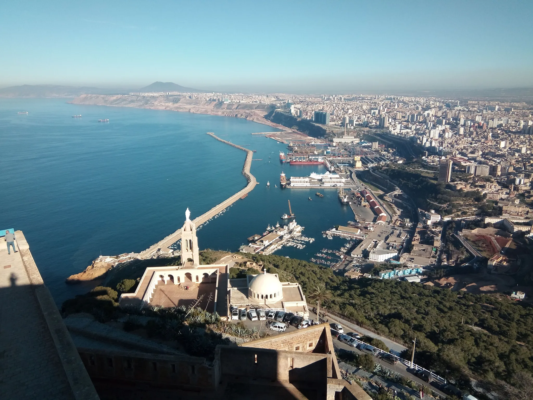
Algeria's second city, with the Santa Cruz fort on a hill above the harbour.
Photo: Benba.d.mourad / CC BY-SA 4.0, via Wikimedia Commons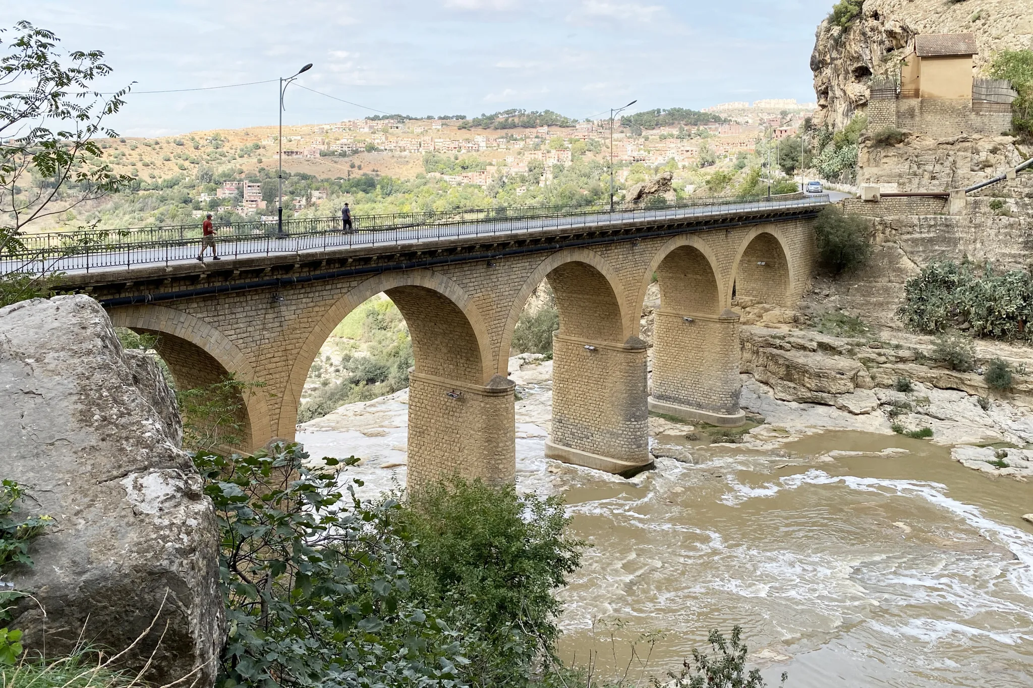
The 'City of Bridges', built on a rock plateau split by a deep gorge.
Photo: Bernard Gagnon / CC BY 4.0, via Wikimedia Commons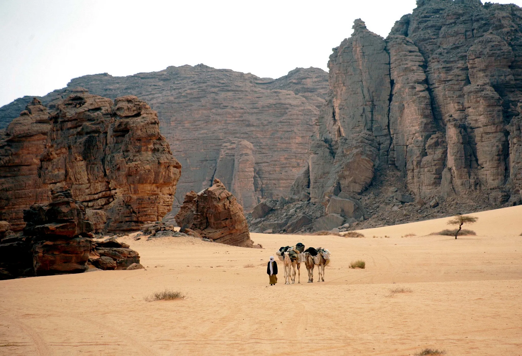
A Saharan plateau of sandstone forests holding thousands of prehistoric rock paintings.
Photo: magharebia / CC BY 2.0, via Wikimedia Commons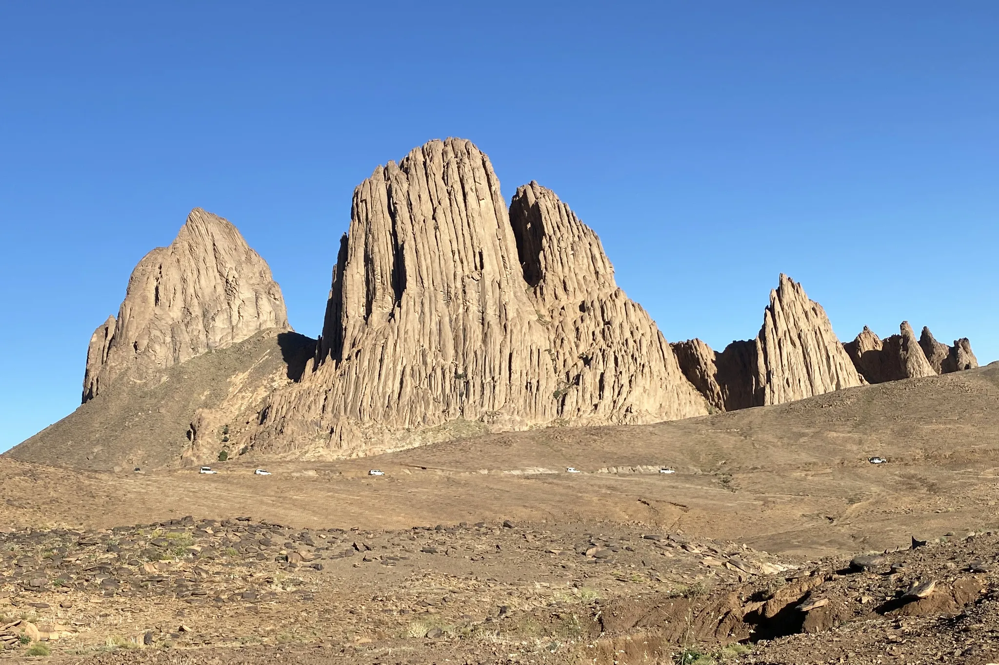
Volcanic peaks in the heart of the Sahara, home of the Tuareg.
Photo: Bernard Gagnon / CC BY 4.0, via Wikimedia Commons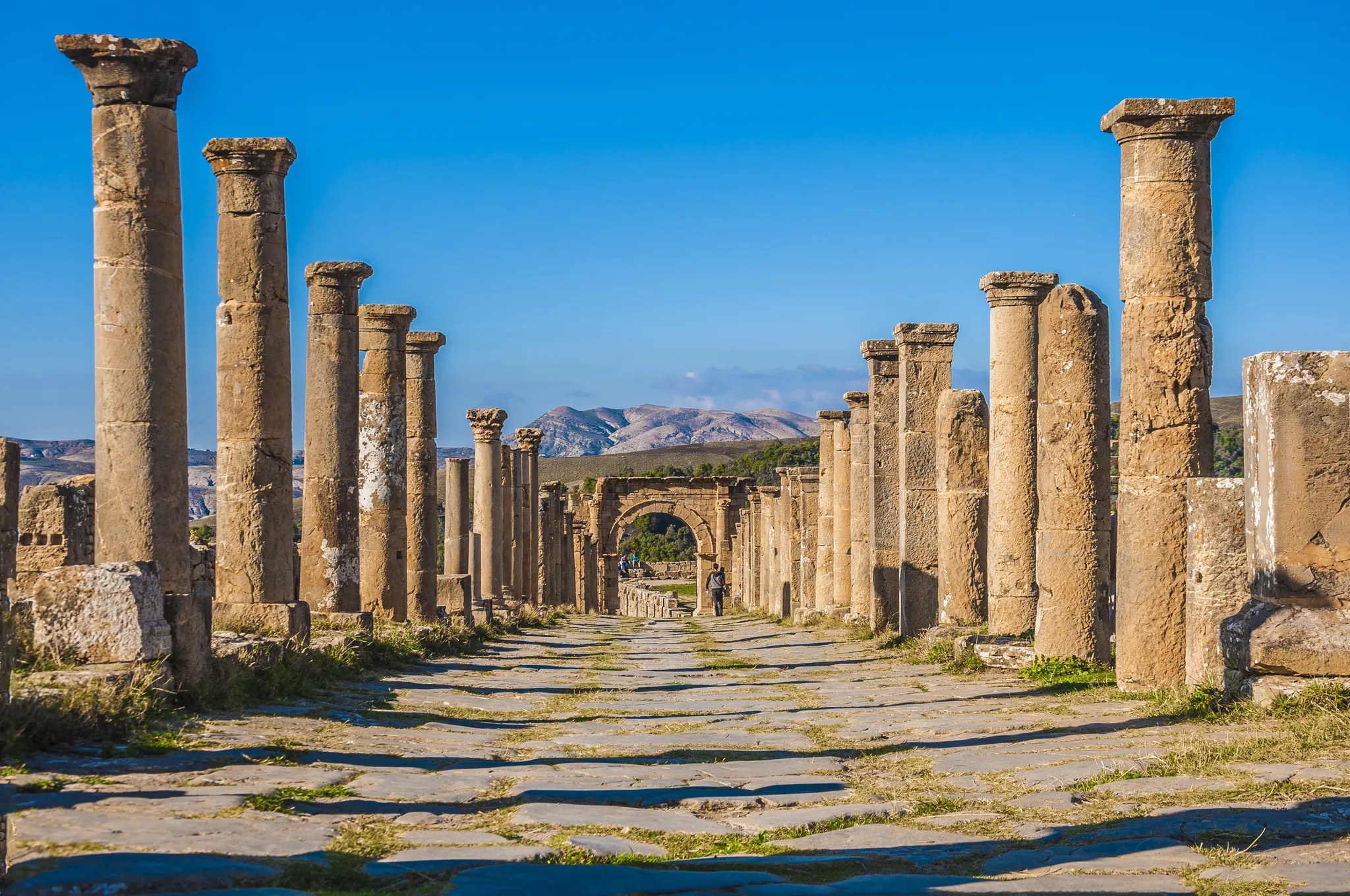
A Roman hill town with a forum, theatre and temples in the Algerian mountains.
Photo: Alioueche Mokhtar / CC BY-SA 4.0, via Wikimedia Commons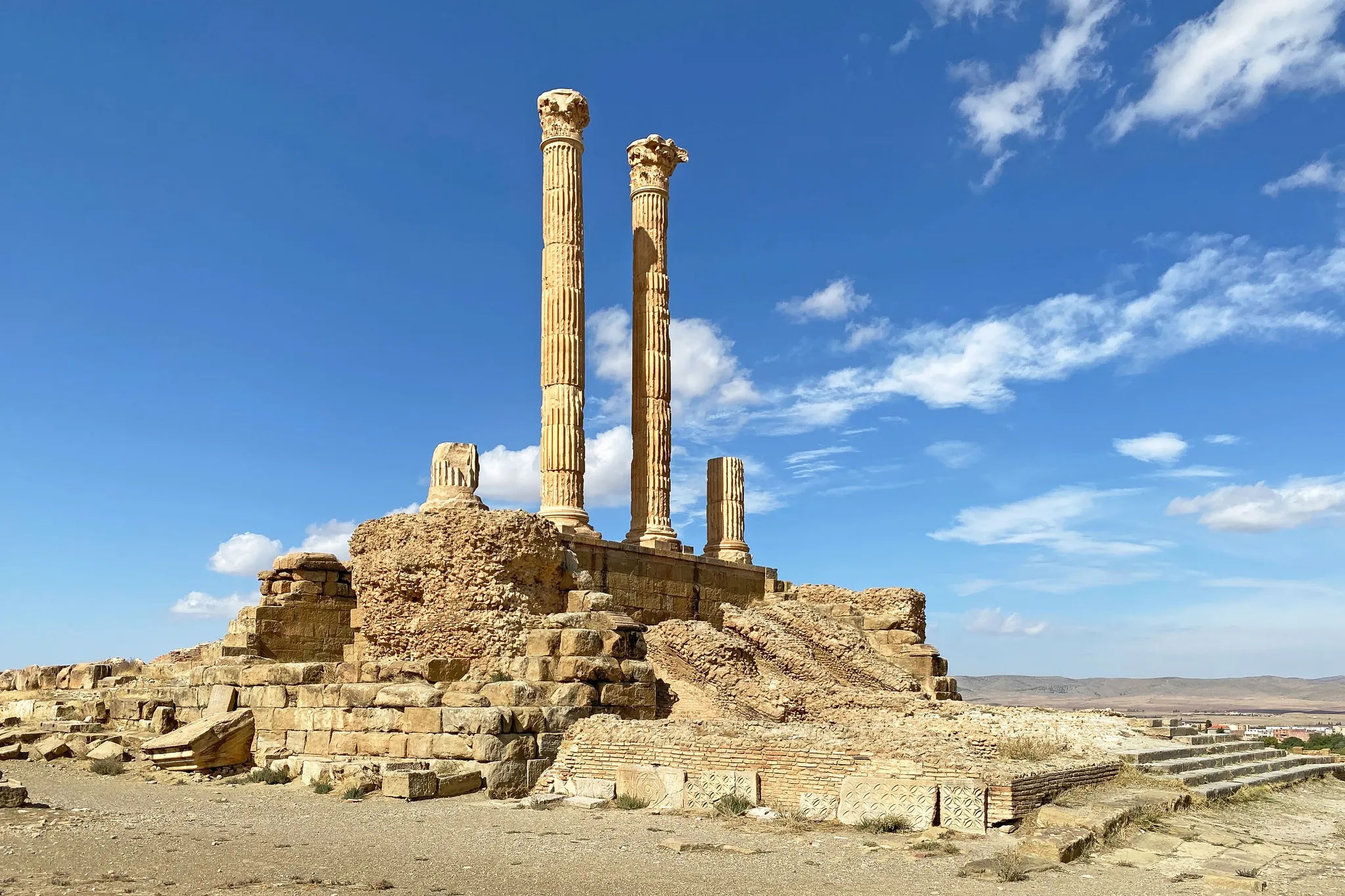
A Roman colony on a perfect grid, the 'Pompeii of Africa'.
Photo: Bernard Gagnon / CC BY 4.0, via Wikimedia Commons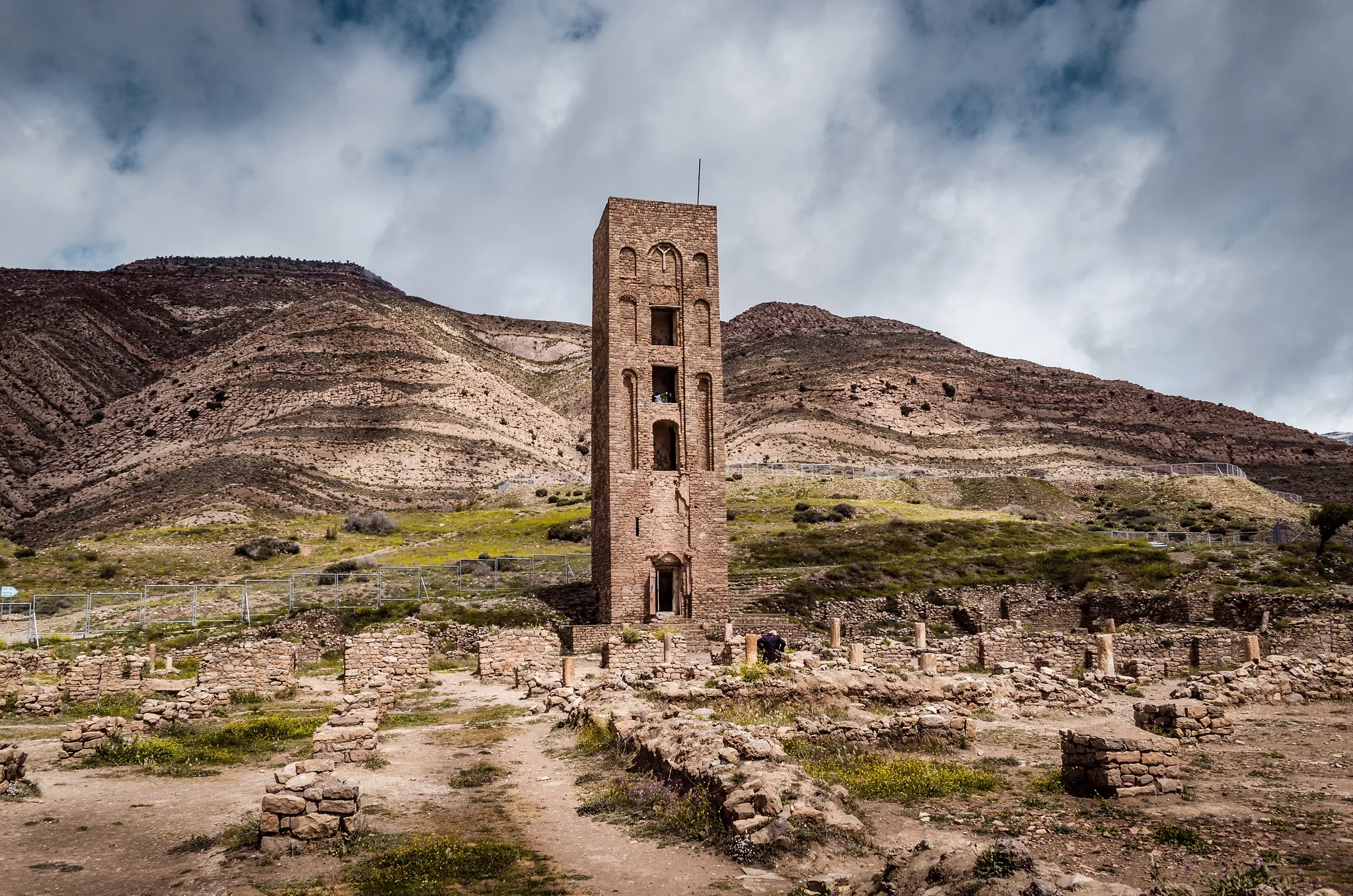
The ruins of an 11th-century fortified capital in the Hodna mountains.
Photo: R hakka / CC BY-SA 4.0, via Wikimedia Commons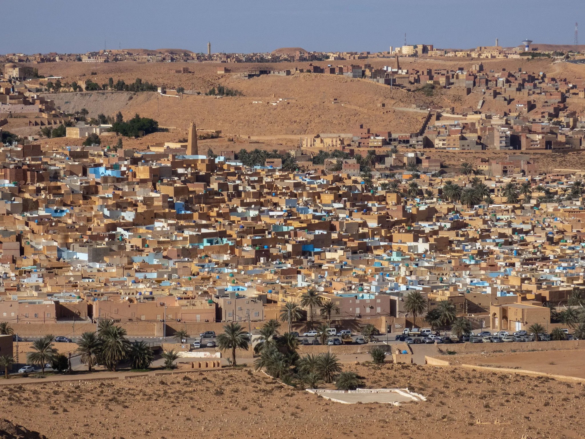
Five fortified hill towns of the Mozabites in a Saharan valley.
Photo: Camille Gillet / CC BY-SA 4.0, via Wikimedia CommonsHow to place them
1,450 km of latitude: Constantine at one end of Algeria's 8 places, Hoggar Mountains at the other. The densest patch is in the north, where Constantine, Djemila, Timgad and Qal'at Bani Hammad sit within 120 km.
Ratings run the whole range: Tassili n'Ajjer and Hoggar Mountains at the easy end, Constantine at the hard end, four medium between. Tassili n'Ajjer forgives 150 km, the most of any place here. Djemila is a Roman hill town with a forum, theatre and temples in the Algerian mountains.
Algeria is one country. The daily draws from all 167.
Play the daily in the appQuestions & answers
How many places in Algeria are in the game?
8 places. Constantine is the top of the map and Hoggar Mountains the bottom.
Which photo from Algeria is the hardest?
Constantine, the only one rated hard. At that level the score halves every 451 km past the accuracy radius.
Which one is easiest to score full points on?
Tassili n'Ajjer, which forgives 150 km in every direction before a single point is lost.