
Country quiz · Africa
Namibia quiz
We ask about Namibia in 6 quizzes: 5 Explorer photos, the Africa map, flag, one number and 2 trivia questions. Windhoek and Sossusvlei are among its 5 photos.
★ 4.7 on Google Play· 60 ratings· 1000+ downloads· Free
8 questions about Namibia only, mixed from every pack it appears in. Scored on the spot.
Namibia at a glance
| Capital | Windhoek |
|---|---|
| Continent | Africa |
| Location | Southern Africa, bordering the South Atlantic Ocean, between Angola and South Africa |
| Population | 2.9 million (2025 estimate), 136th of 196 |
| Area | 824,292 km², 31st of 196 |
| People per km² | 3.5 |
| Land borders | Botswana (1,544 km), Angola (1,427 km), South Africa (1,005 km), Zambia (244 km) |
| Coastline | 1,572 km |
| Highest point | Konigstein on Brandberg, 2,573 m |
| Official language | English |
| Flag colours | red, white, blue and green |
| Calling code | +264 |
| Terrain | Mostly high plateau; Namib Desert along coast; Kalahari Desert in east |
| Climate | Desert; hot, dry; rainfall sparse and erratic |
| Where the name comes from | Named for the coastal Namib Desert; the word namib comes from the local Nama language and means "an area where there is nothing" |
| In our quizzes | 6 packs |
Of 4 land neighbours, Botswana shares the longest border with Namibia (1,544 km) and Zambia the shortest (244 km); there are also 1,572 km of coast. Namibia is 31st in the world by area but 136th by population, so there are only 3.5 people per km².
Facts from the CIA World Factbook and Wikidata; questions from our quiz packs. Updated .
Where it is
Places to find
5 in Explorer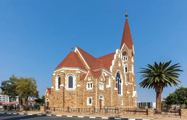
Namibia's capital, German colonial buildings in a highland basin.
Photo: Diego Delso / CC BY-SA 4.0, via Wikimedia Commons licence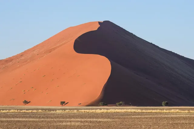
Towering rust-red dunes in the ancient Namib Desert.
Photo: Giles Laurent / CC BY-SA 4.0, via Wikimedia Commons licence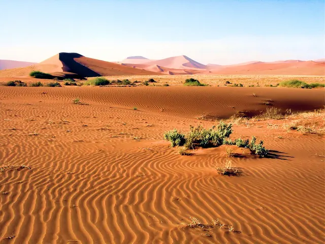
The red dunes of Sossusvlei, among the tallest in the world.
Photo: Bjørn Christian Tørrissen / CC BY-SA 4.0, via Wikimedia Commons licence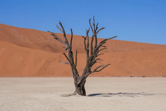
Black skeletal trees on a white clay pan among red dunes.
Photo: Giles Laurent / CC BY-SA 4.0, via Wikimedia Commons licence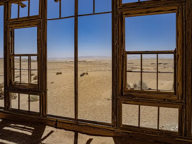
An abandoned diamond-mining town slowly buried by desert sand.
Photo: Ralf Hüsges / CC BY 4.0, via Wikimedia Commons licenceQuestions we ask
3| Question | Answer |
|---|---|
| Namibia became independent in 1990 from which country? | South Africa |
| Which country has a thin strip of land, the Caprivi Strip, stretching east toward the Zambezi? | Namibia |
| In what year did Namibia gain independence from South Africa? | 1990 |
Namibia in our quizzes
Botswana, Zambia and Angola sit beside Namibia in the flag round.
Trivia asks: “Namibia became independent in 1990 from which country?” The answer is South Africa. It also asks: “Which country has a thin strip of land, the Caprivi Strip, stretching east toward the Zambezi?” (Namibia). In numbers we hold independence in 1990. Explorer pins 5 photos in Namibia; Sossusvlei and Deadvlei are marked hard.
Every Namibia question, with streaks and a leaderboard, is in the app.
PlayQuestions and answers
What is the capital of Namibia?
The capital of Namibia is Windhoek.
Which continent is Namibia in?
Namibia is in Africa.
What is the population of Namibia?
About 2.9 million (2025 estimate).
Which countries border Namibia?
Namibia borders Botswana, Angola, South Africa and Zambia.
What is the highest point in Namibia?
Konigstein on Brandberg, at 2,573 m.
What is the official language of Namibia?
English.