Photo location game · Europe
Austria landmarks quiz: guess where 23 photos were taken
Every Austria location in the game, 23 in all, with its photo, its fact and its place on the map. The round at the top plays five.
★ 4.7 on Google Play· 60 ratings· 500+ downloads· Free
Five of the 23 places, one at a time. Put a pin where you think the photo is.
Tap the map where you think this is
Where they are
23 on the mapAll 23 places
by id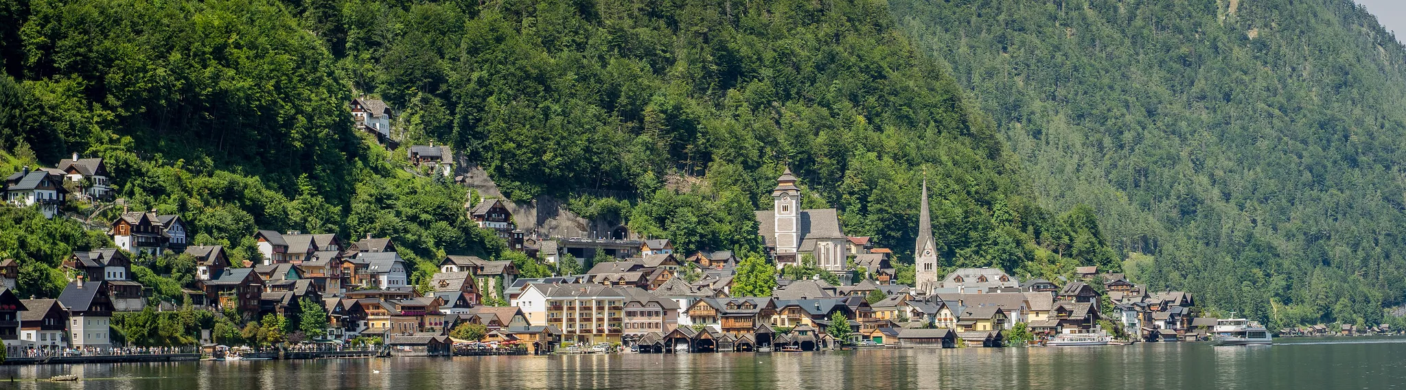
A lakeside alpine village wedged between mountains and water.
Photo: David Kernan / CC BY 4.0, via Wikimedia Commons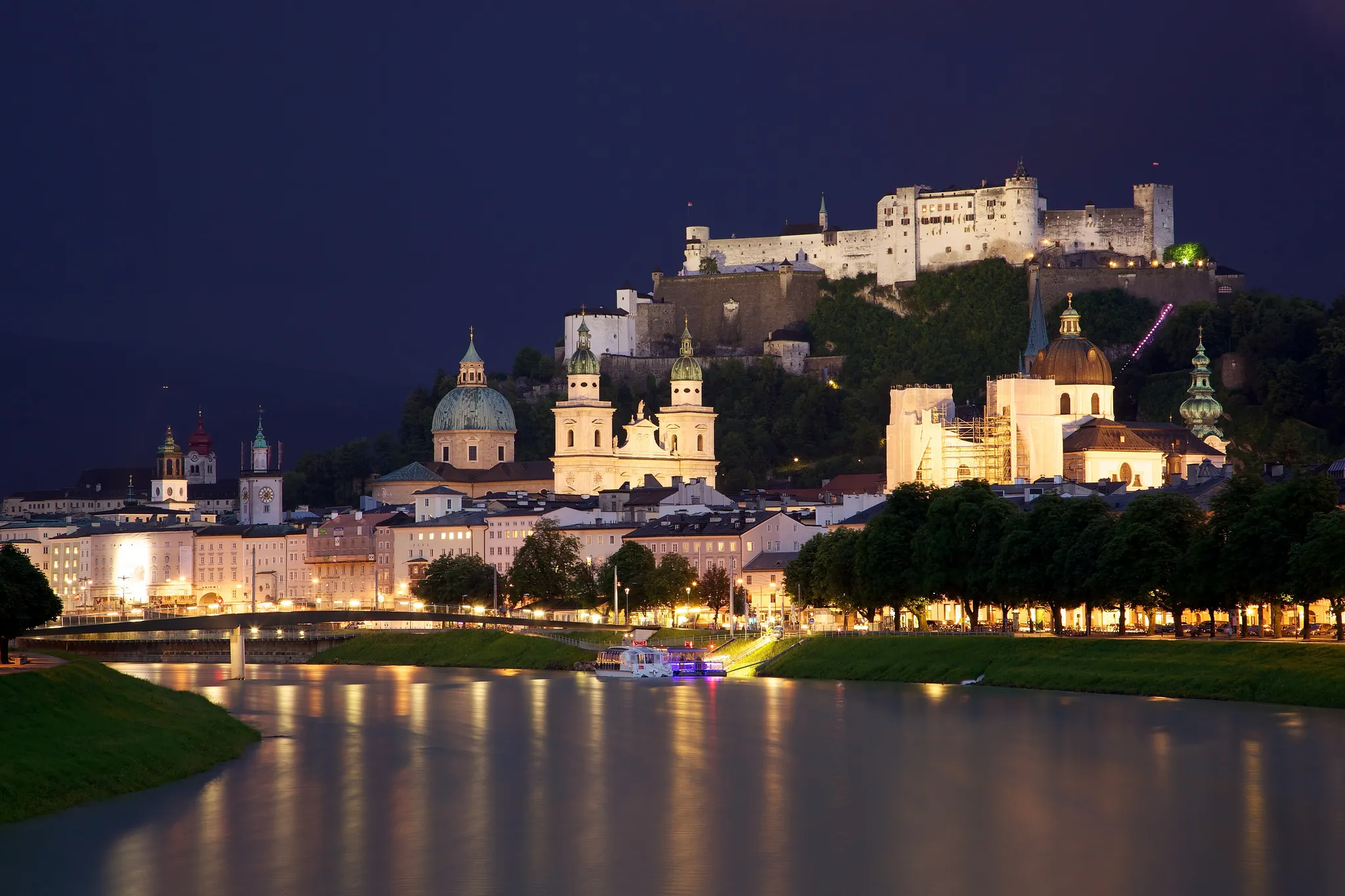
A baroque old town under a clifftop fortress on the Salzach.
Photo: Jiuguang Wang / CC BY-SA 3.0, via Wikimedia Commons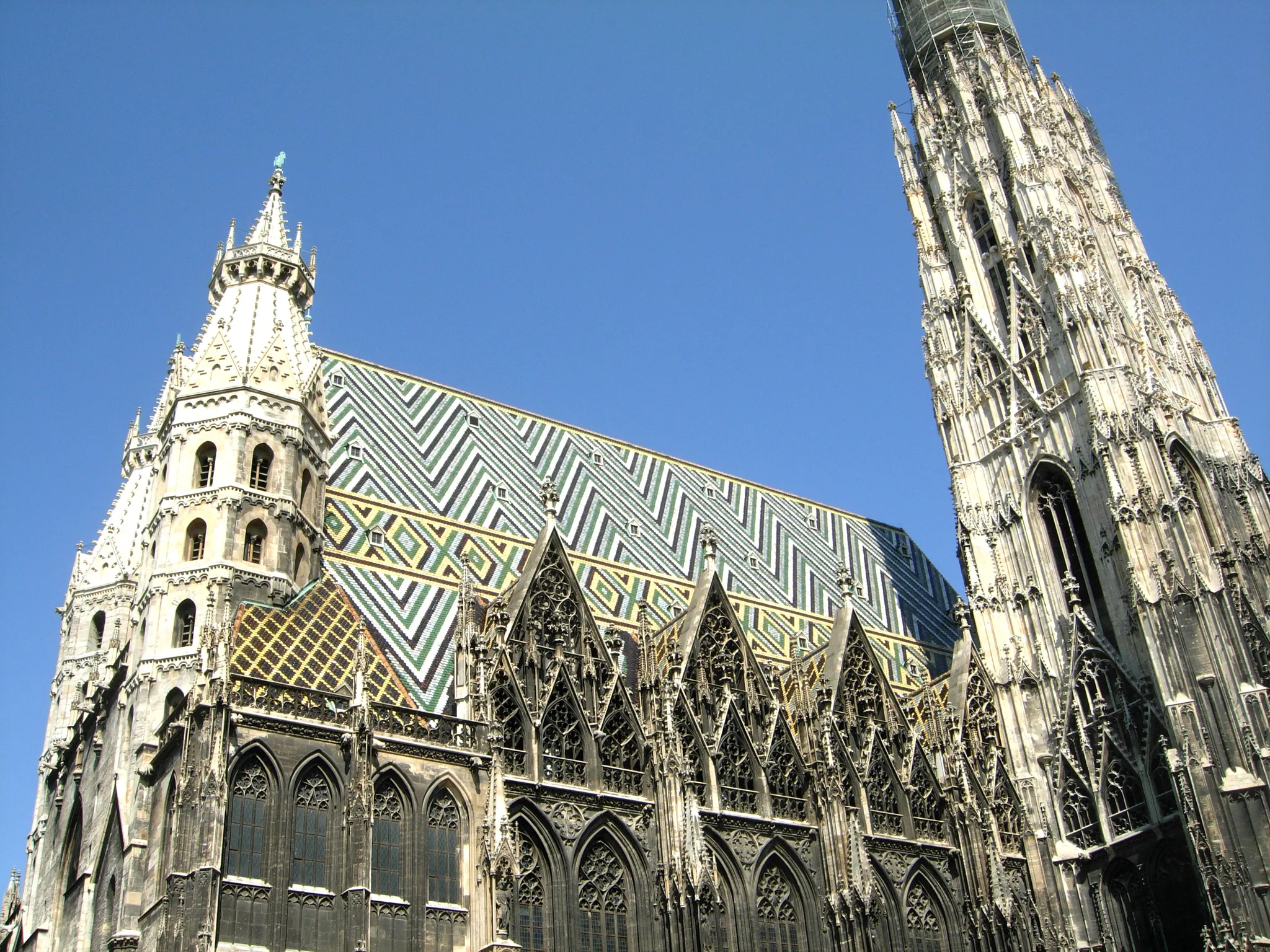
The Gothic spire of St. Stephen's over the imperial capital.
Photo: acediscovery / CC BY 4.0, via Wikimedia Commons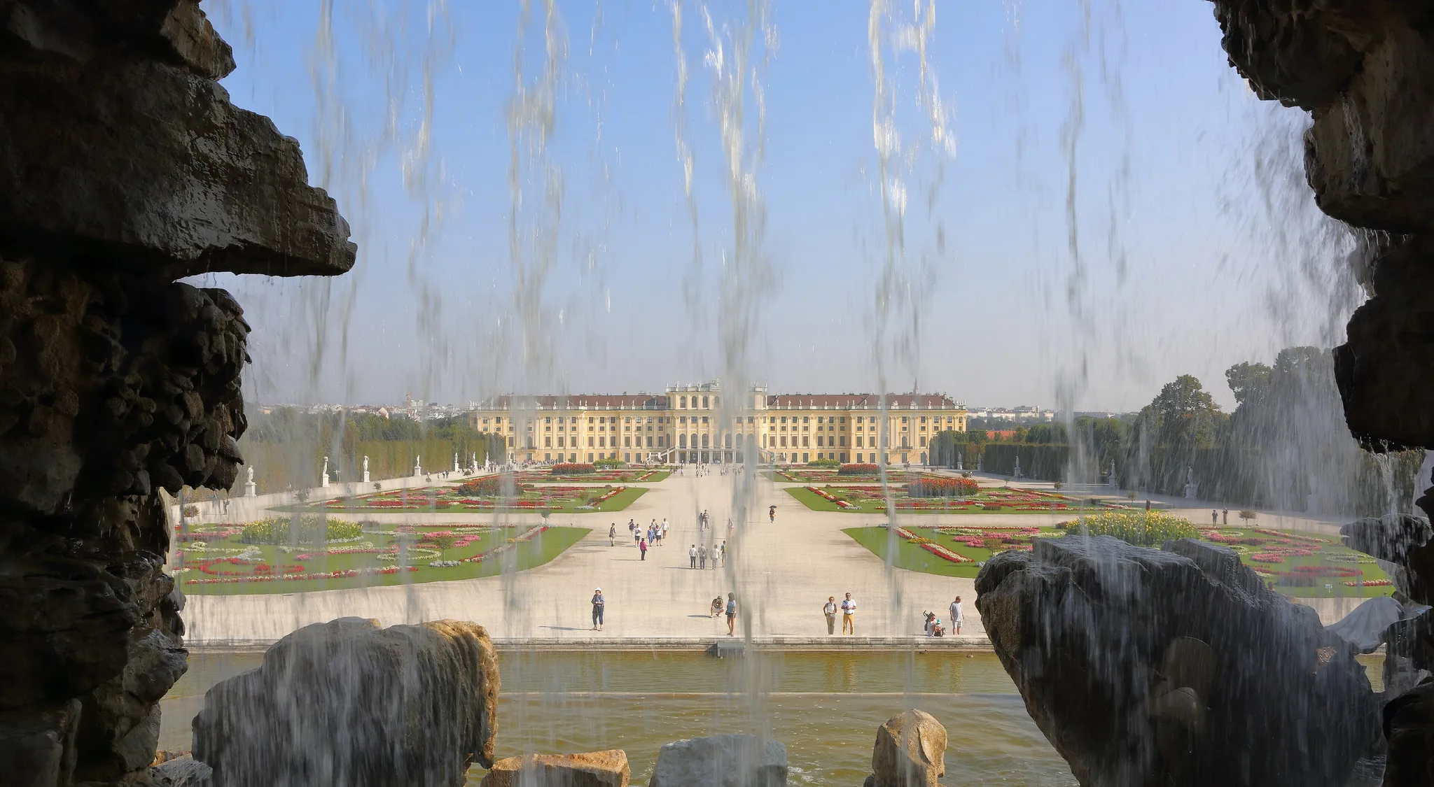
A yellow Baroque imperial palace with formal gardens.
Photo: Martin Falbisoner / CC BY-SA 4.0, via Wikimedia Commons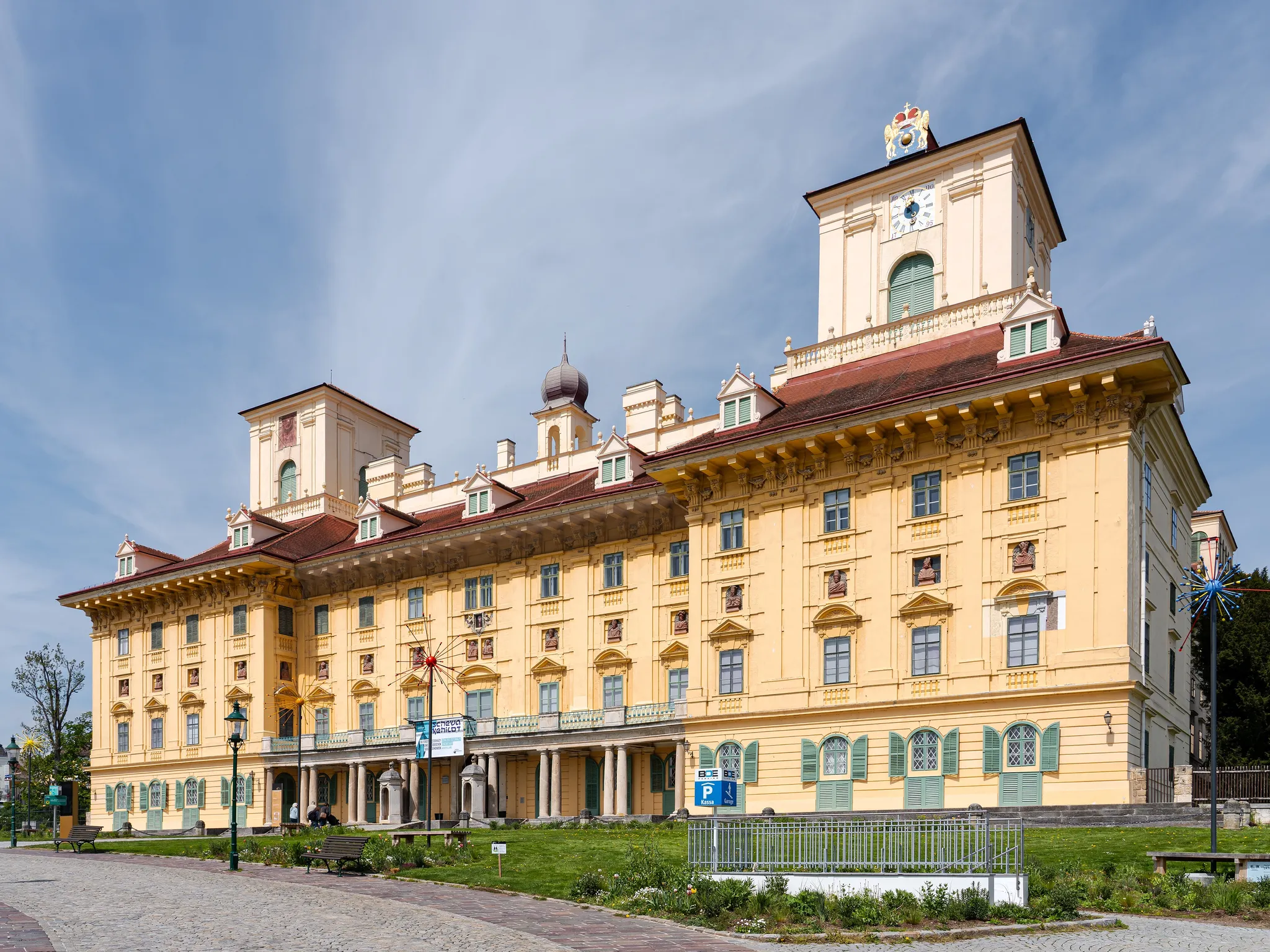
The Burgenland capital where Haydn worked for the Esterházy princes.
Photo: Aciarium / CC BY-SA 4.0, via Wikimedia Commons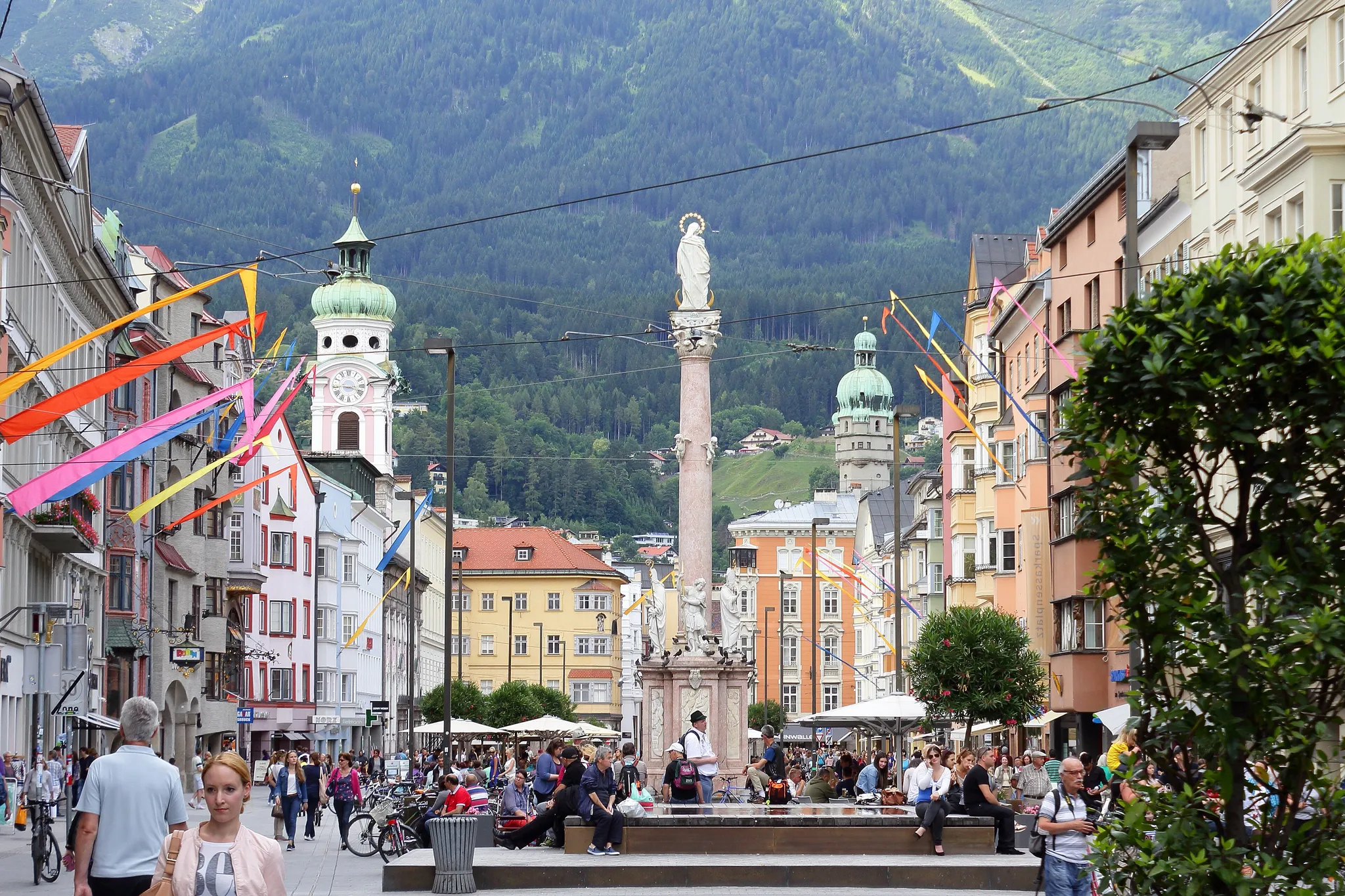
The Tyrolean capital, with the Golden Roof and Alps rising straight from the streets.
Photo: Michael aus Halle / CC BY-SA 3.0, via Wikimedia Commons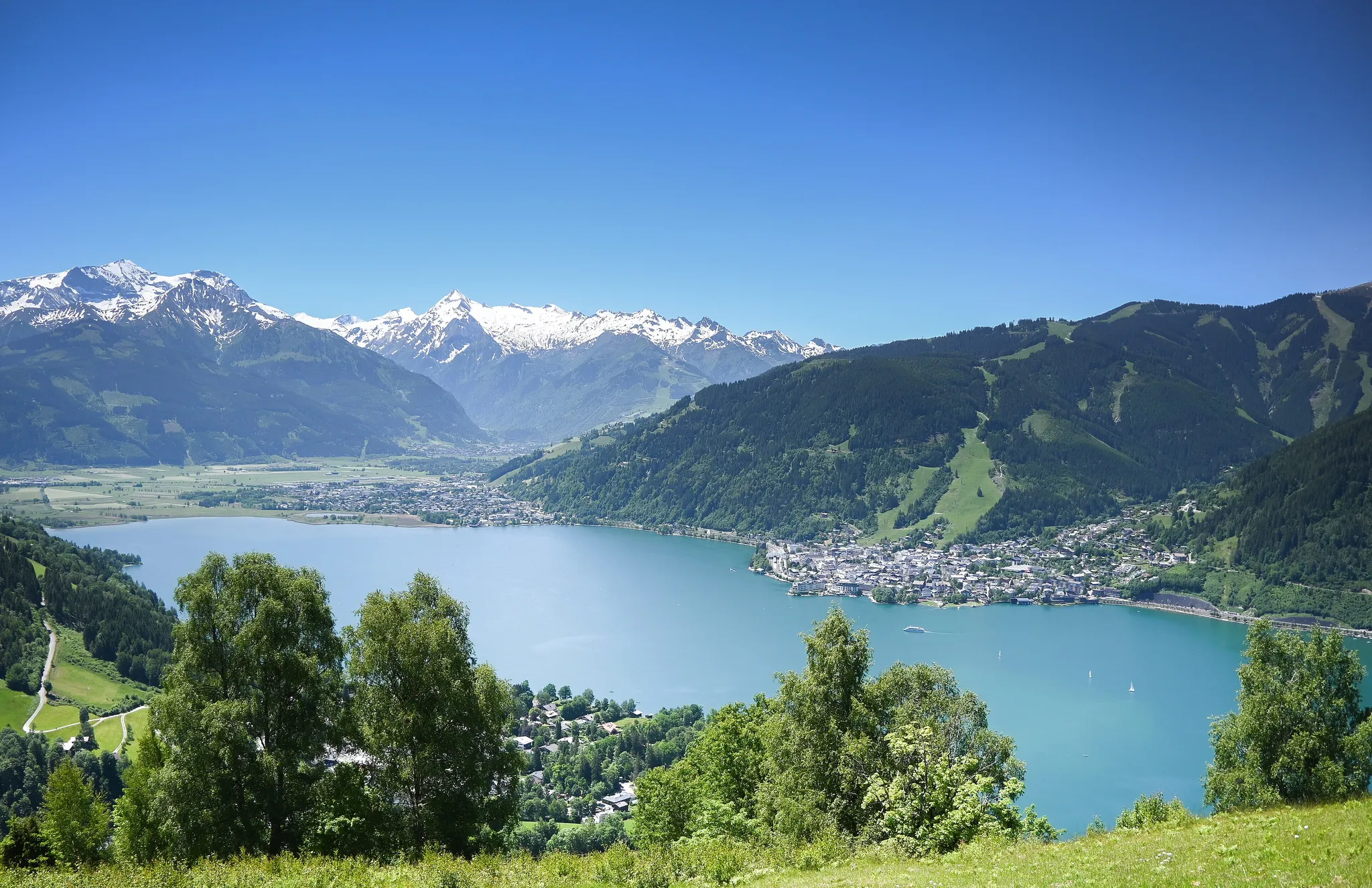
An Alpine lake with the town of Zell am See on its shore, below the Schmittenhöhe.
Photo: Public domain, via Wikimedia Commons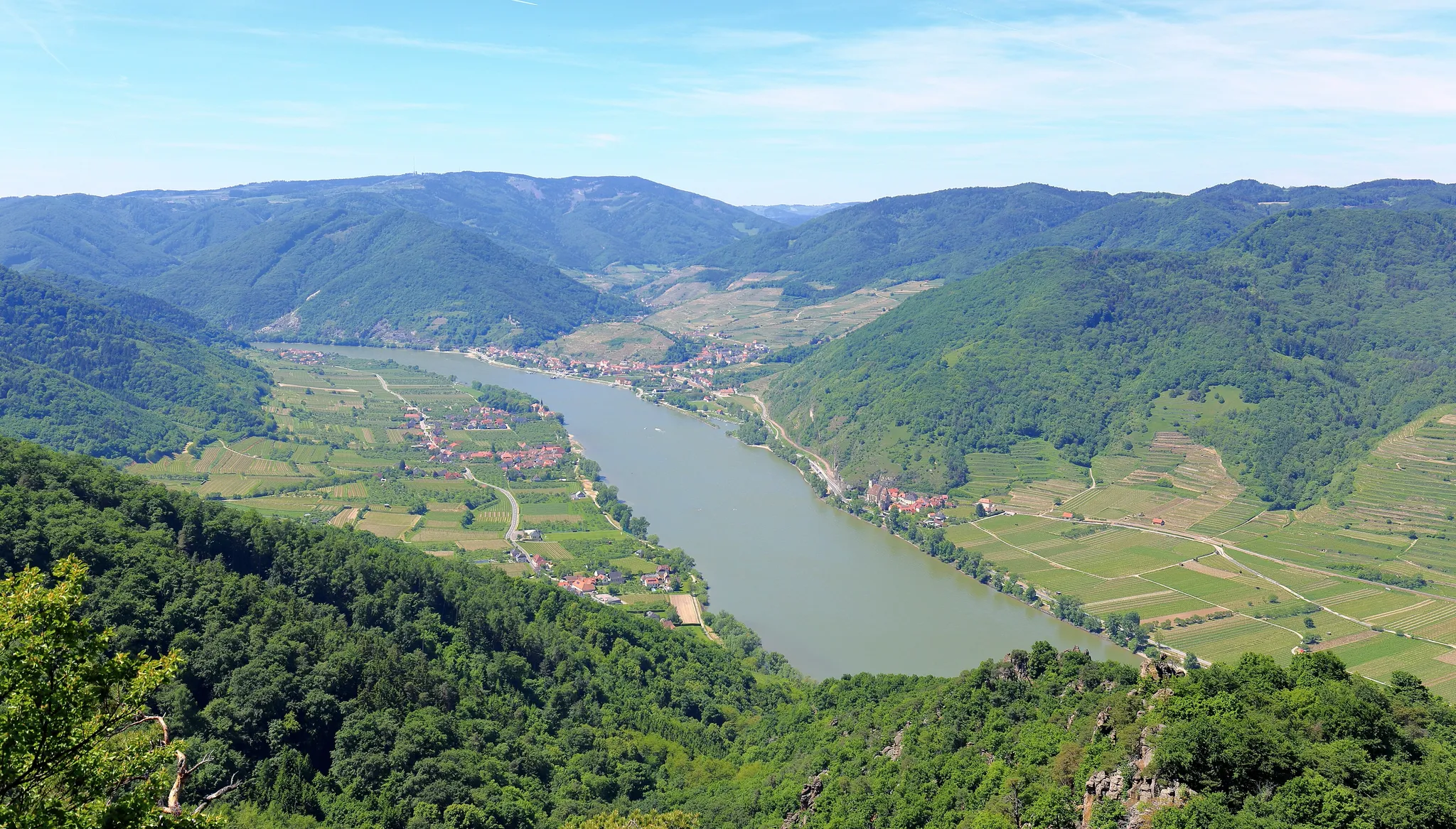
A stretch of the Danube lined with vineyards, apricot orchards and abbeys.
Photo: C.Stadler/Bwag / CC BY-SA 4.0, via Wikimedia Commons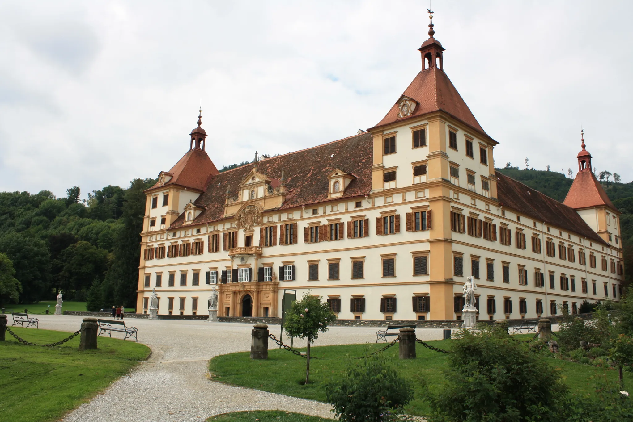
A baroque palace built as a model of the universe, with 365 windows.
Photo: Kevinsmithnyc / CC BY-SA 3.0 at, via Wikimedia Commons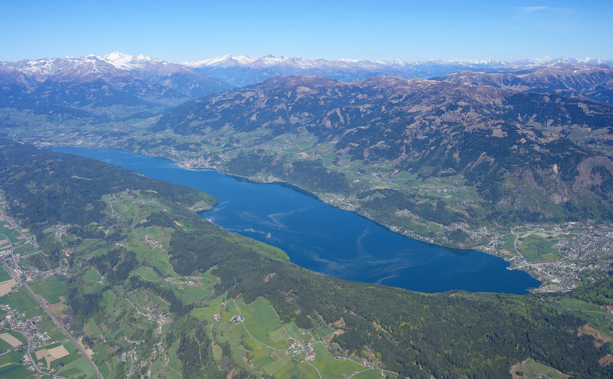
Carinthia's second largest lake, warm enough to swim in all summer.
Photo: Carsten Steger / CC BY-SA 4.0, via Wikimedia Commons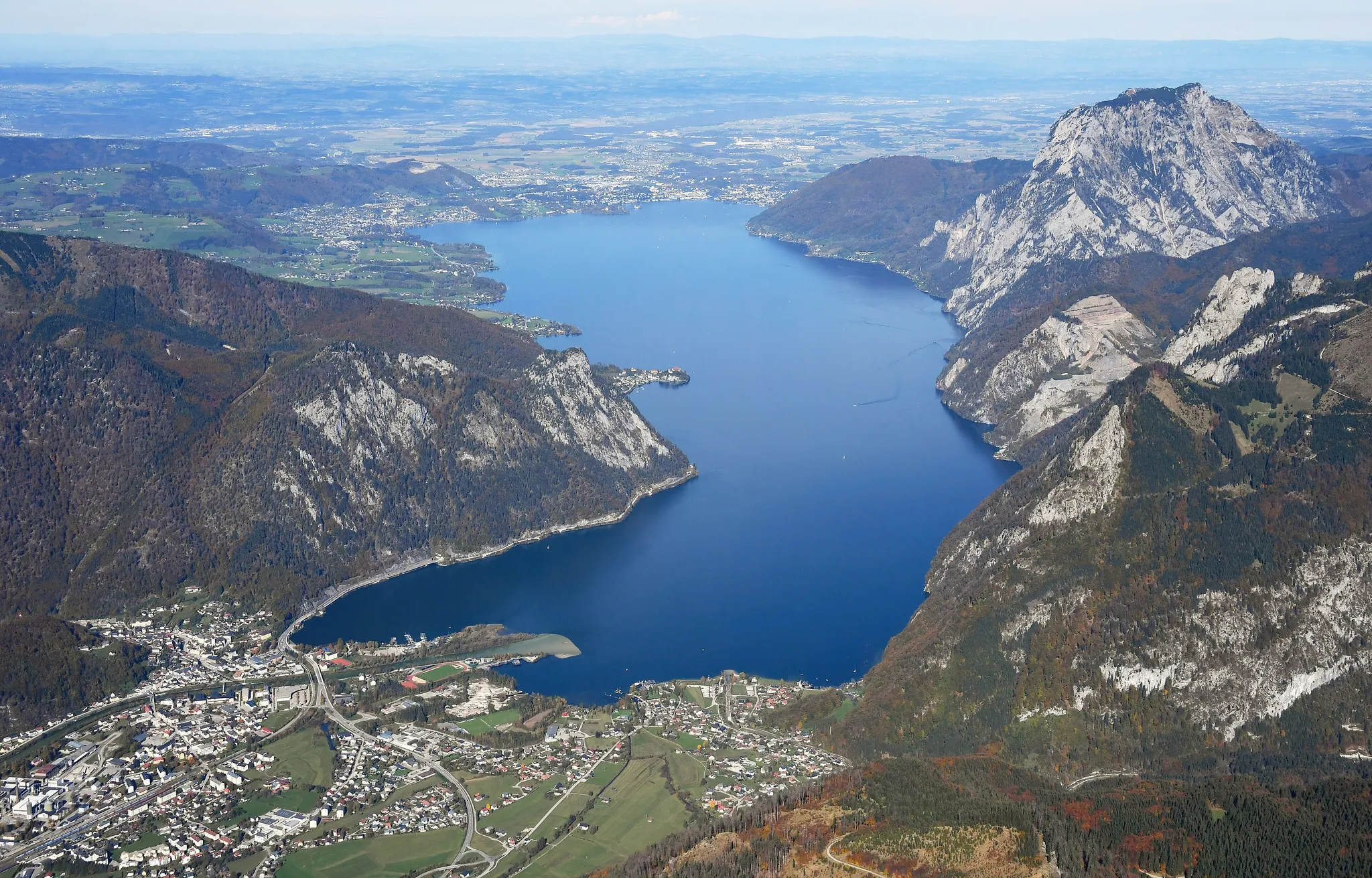
Austria's deepest lake, beneath the 1,691-metre Traunstein.
Photo: Carsten Steger / CC BY-SA 4.0, via Wikimedia Commons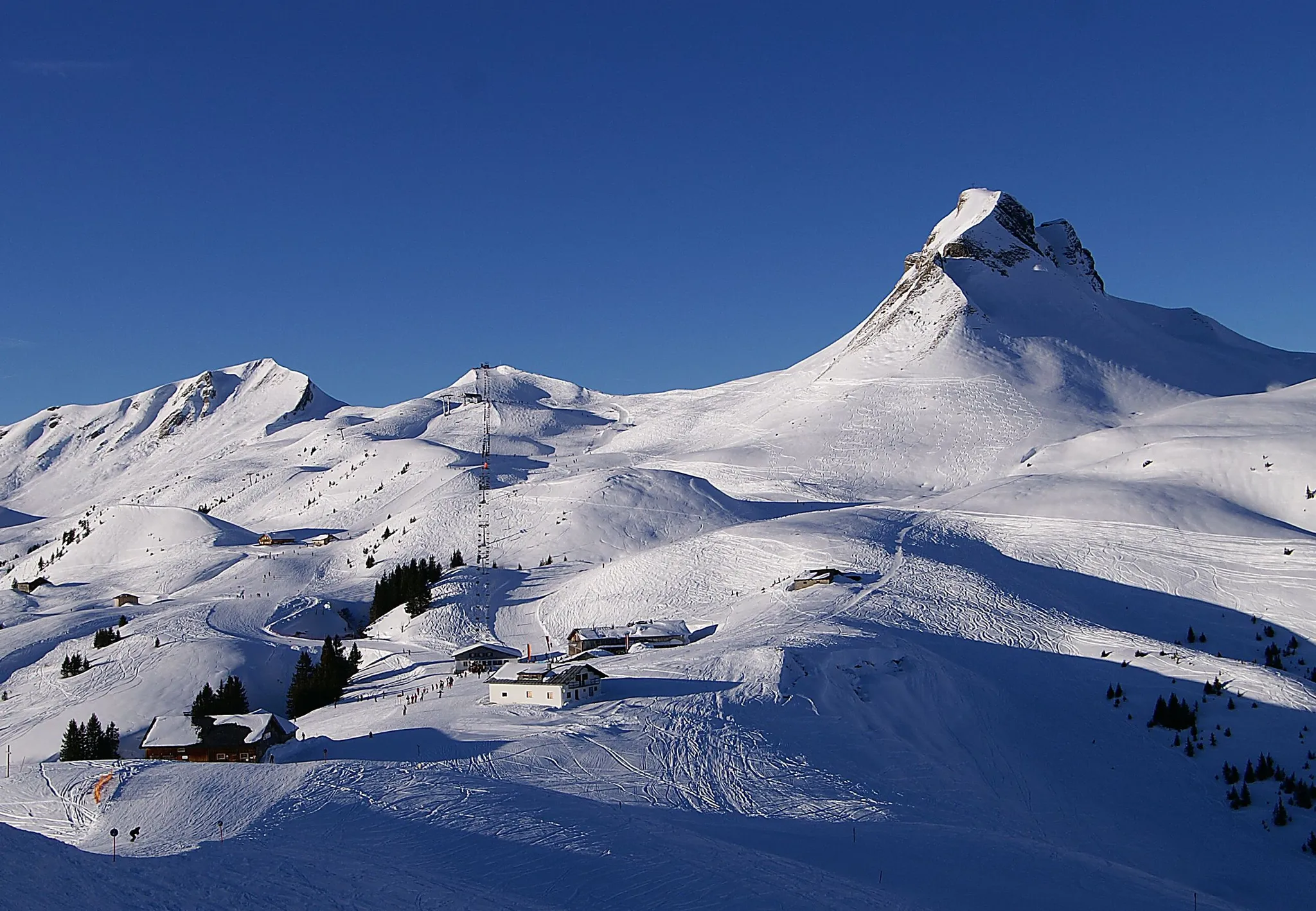
A region of Alpine meadows and timber-built villages in Austria's far west.
Photo: böhringer friedrich / CC BY-SA 2.5, via Wikimedia Commons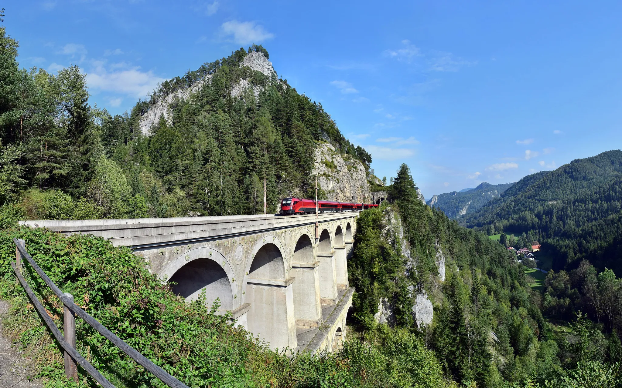
The first mountain railway in Europe, from 1854, with 16 viaducts through the Alps.
Photo: Haeferl / CC BY-SA 3.0 at, via Wikimedia Commons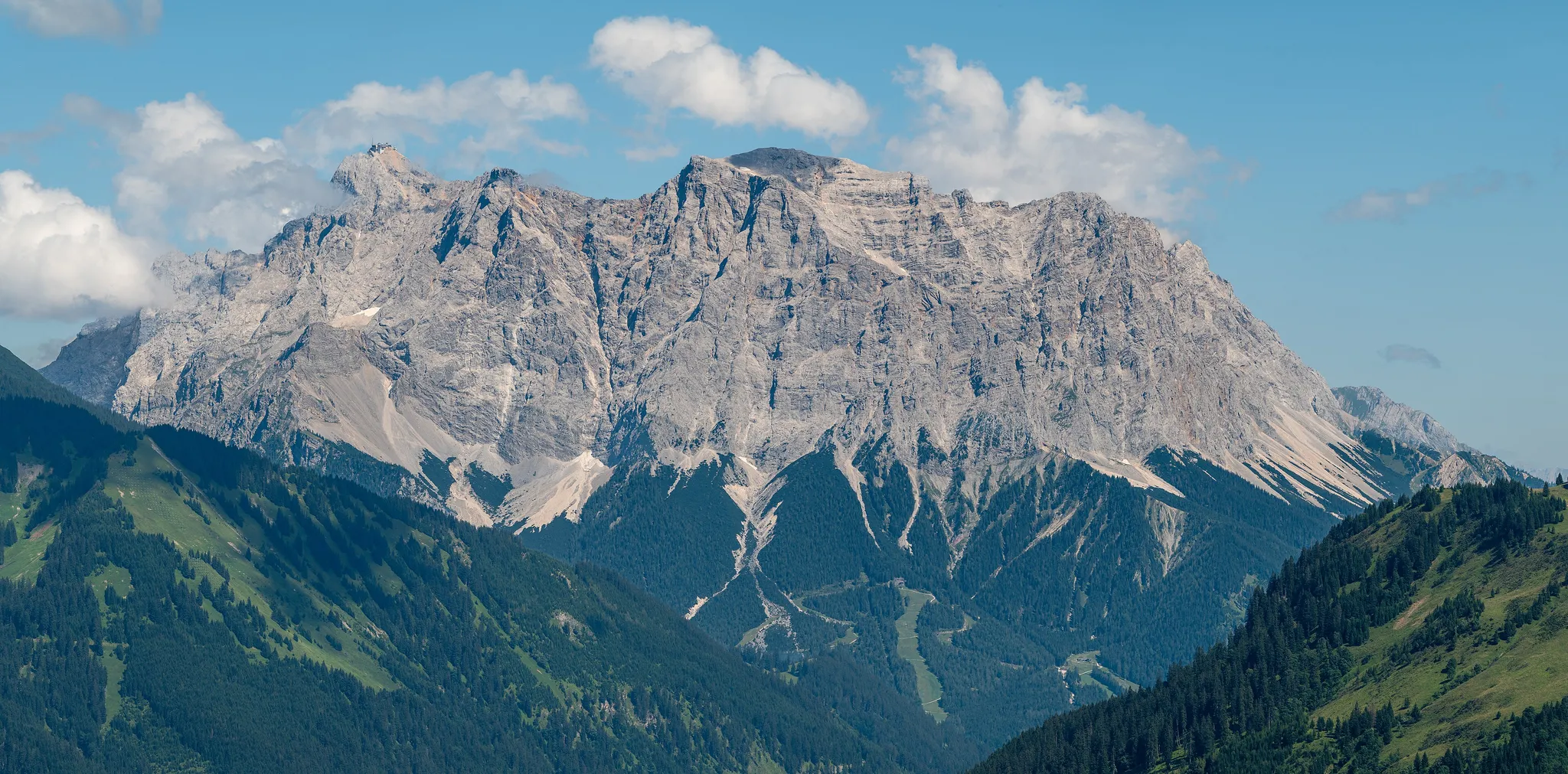
Germany's highest peak at 2,962 metres, on the Austrian border.
Photo: Tuxyso / CC BY-SA 4.0, via Wikimedia Commons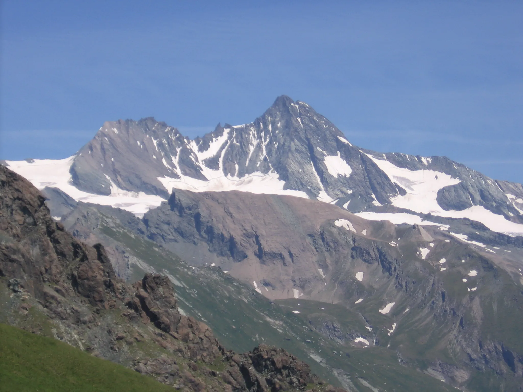
Austria's highest peak at 3,798 metres, above the Pasterze glacier.
Photo: Public domain, via Wikimedia Commons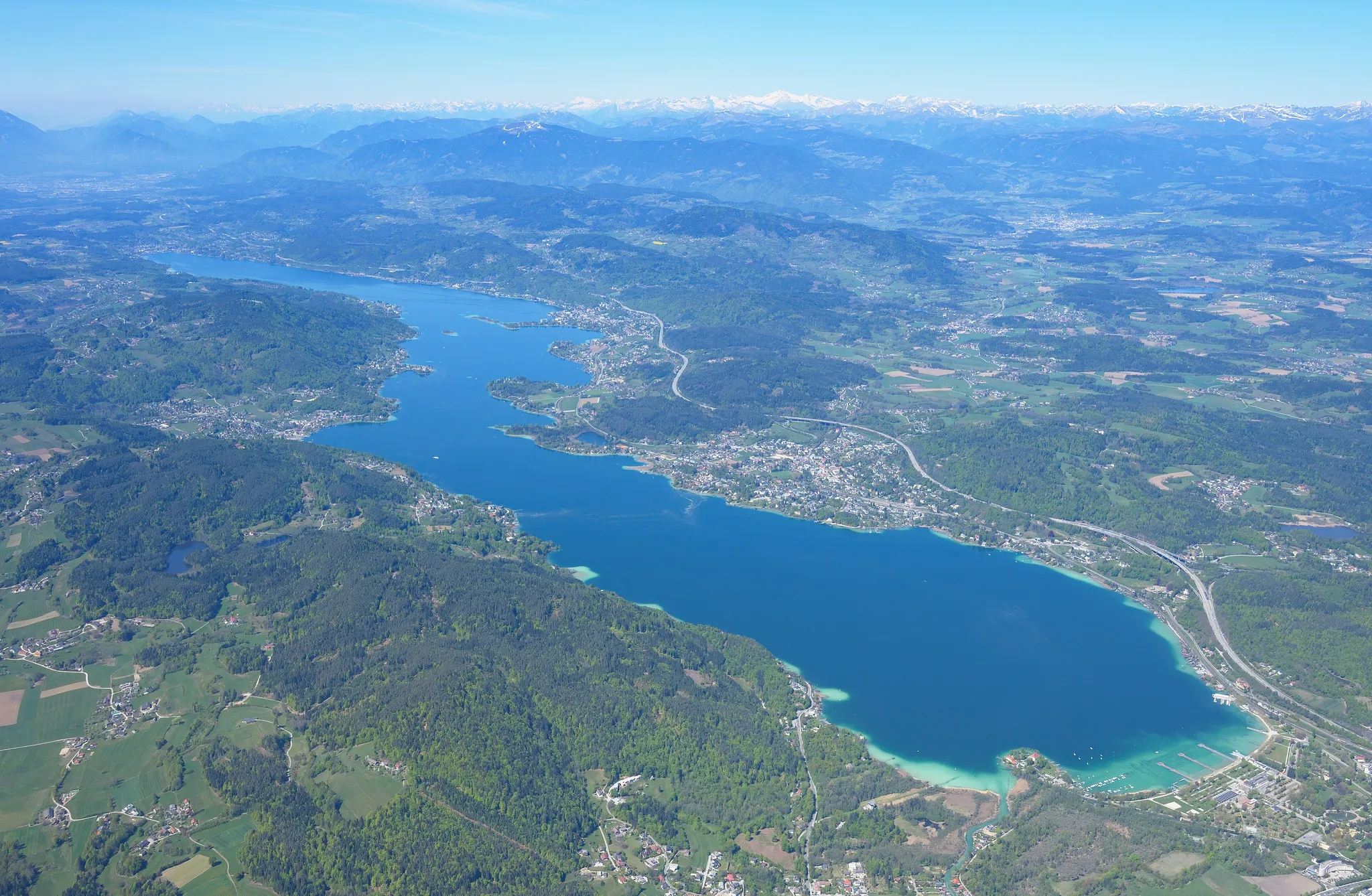
Austria's warmest Alpine lake, ringed by villas and the resort of Velden.
Photo: Carsten Steger / CC BY-SA 4.0, via Wikimedia Commons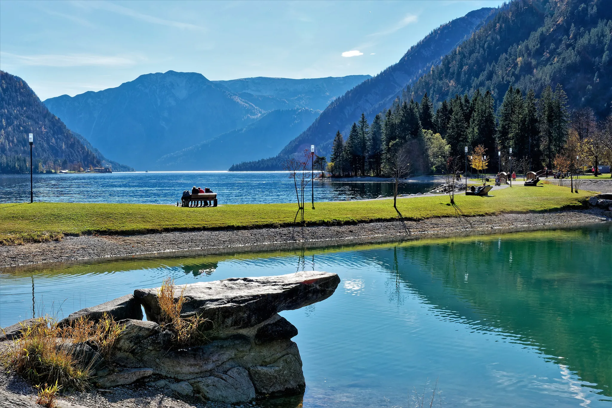
Tyrol's largest lake, a fjord-like stretch of water between the Karwendel and Rofan ranges.
Photo: Holger Uwe Schmitt / CC BY-SA 4.0, via Wikimedia Commons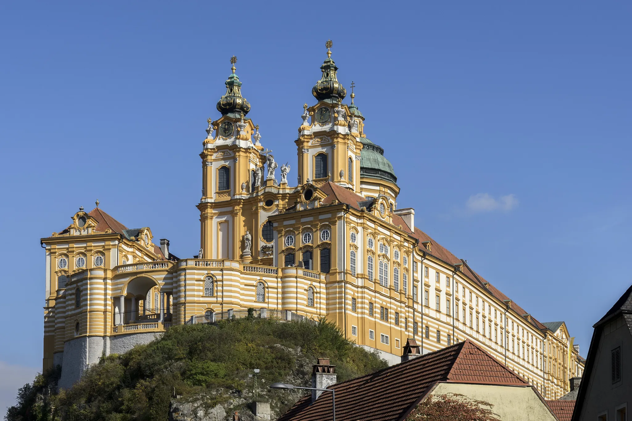
A yellow baroque abbey towering over the Danube, setting of The Name of the Rose.
Photo: Thomas Ledl / CC BY-SA 4.0, via Wikimedia Commons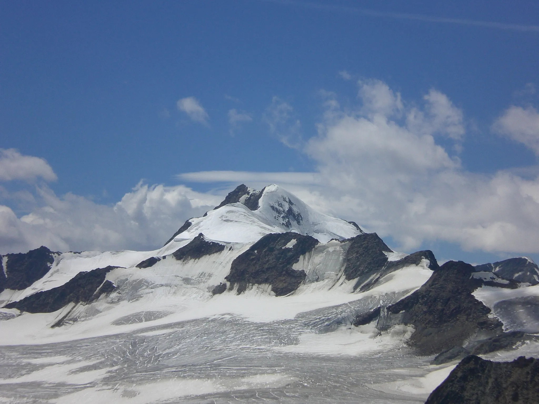
Tyrol's highest peak at 3,768 metres, above the Ötztal glaciers.
Photo: Pirmin Olde Weghuis / CC BY-SA 3.0, via Wikimedia Commons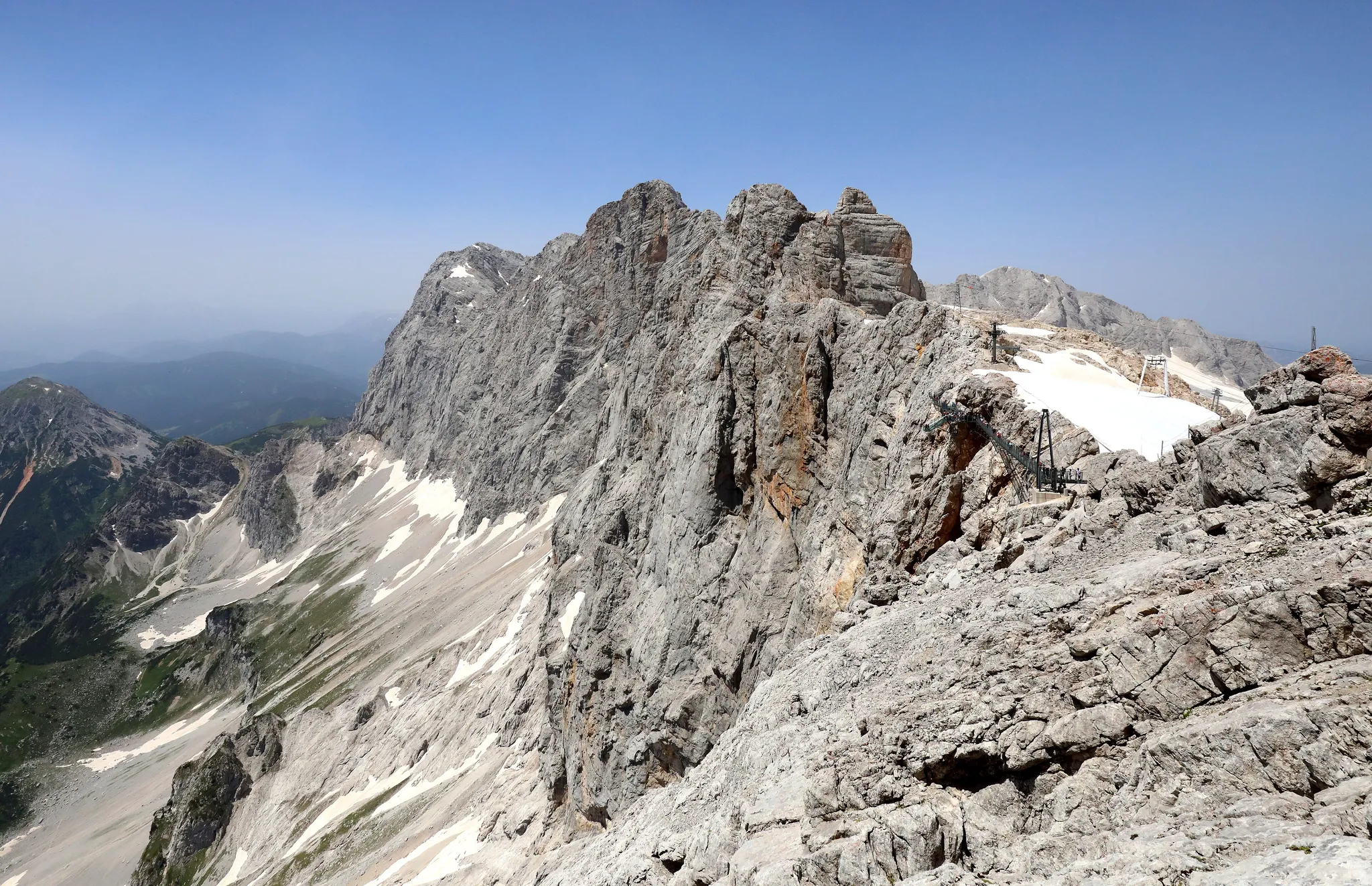
A 2,995-metre peak with a glass 'Skywalk' over a 250-metre drop.
Photo: C.Stadler/Bwag / CC BY-SA 4.0, via Wikimedia Commons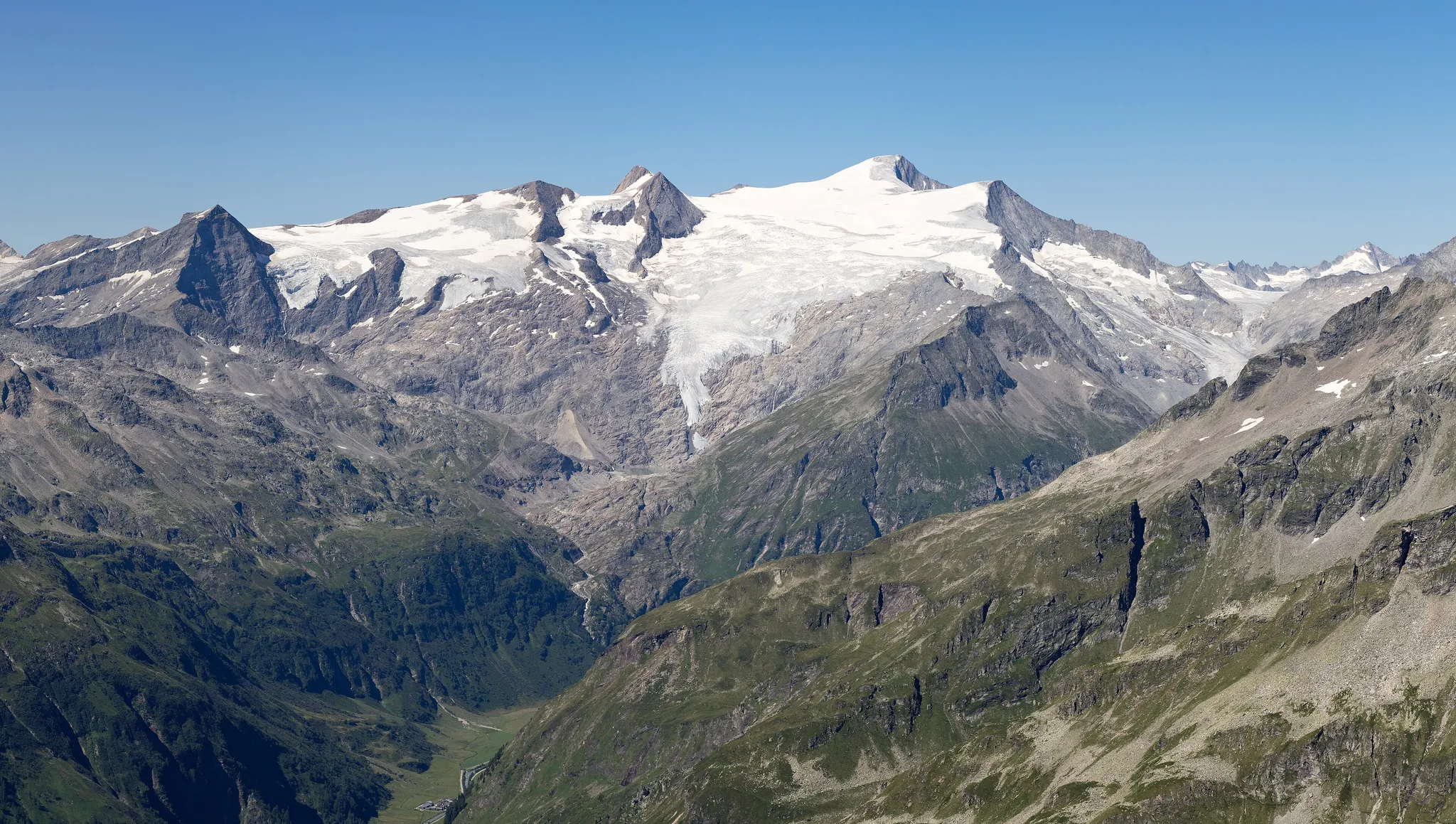
A 3,657-metre glacier-covered peak, the 'world-old majesty' of the Hohe Tauern.
Photo: Jörg Braukmann / CC BY-SA 4.0, via Wikimedia Commons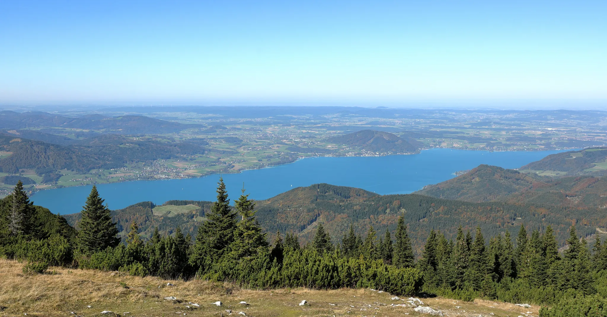
The largest lake entirely within Austria, painted many times by Gustav Klimt.
Photo: C.Stadler/Bwag / CC BY-SA 4.0, via Wikimedia Commons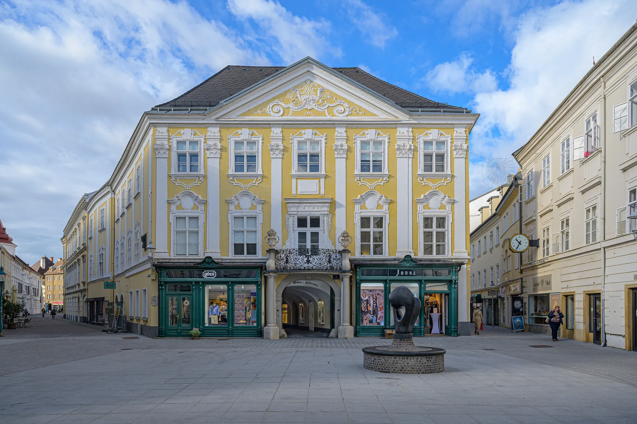
Lower Austria's capital, a baroque city on the Traisen River.
Photo: Isiwal / CC BY-SA 4.0, via Wikimedia CommonsHow to place them
Vienna is the Historic Centre and Schönbrunn, with Eisenstadt 40 km south and St Pölten 55 km west; Melk Abbey and the Wachau are the Danube just beyond St Pölten. That is the whole east. The Semmering railway is on the way south from Vienna to Graz, where Eggenberg Castle is.
The Salzkammergut is the lake block east of Salzburg: Hallstatt, the Attersee, the Traunsee and the Dachstein are within 40 km of each other. Salzburg itself is the north-western edge of that group, with Lake Zell and the Grossglockner south of it in the Hohe Tauern.
Tyrol is the west: Innsbruck, the Achensee north of it, the Zugspitze on the German border, the Wildspitze in the Ötztal to the south-west. Bregenz Forest is the far western tip beyond the Arlberg. Carinthia is the south: the Wörthersee and the Millstätter See, the two warm lakes, 50 km apart. Eleven of the 23 are rated hard and six of those are lakes. The Tyrolean ones have bare rock above them; the Salzkammergut and Carinthian ones have wooded slopes and villas.
Austria is one country. The daily draws from all 167.
Play the daily in the appQuestions & answers
How many Austria photos does the game have?
23. The northernmost is Wachau, the southernmost Wörthersee; each round on this page picks five.
What is the hardest Austria round?
The hard ones are Eisenstadt, Lake Zell and Eggenberg Castle, Graz and eight others; at that level half the points go for every 451 km of miss.
Where is full marks easiest in Austria?
Lake Zell, with a 60 km radius. Land anywhere inside it and the round pays 5,000.