Photo location game · Americas
Bolivia landmarks quiz: guess where 10 photos were taken
10 photographs of Bolivia and the map they belong on. Five make a round; the full set is below for study.
★ 4.7 on Google Play· 60 ratings· 500+ downloads· Free
Five of the 10 places, one at a time. Put a pin where you think the photo is.
Tap the map where you think this is
Where they are
10 on the mapAll 10 places
by id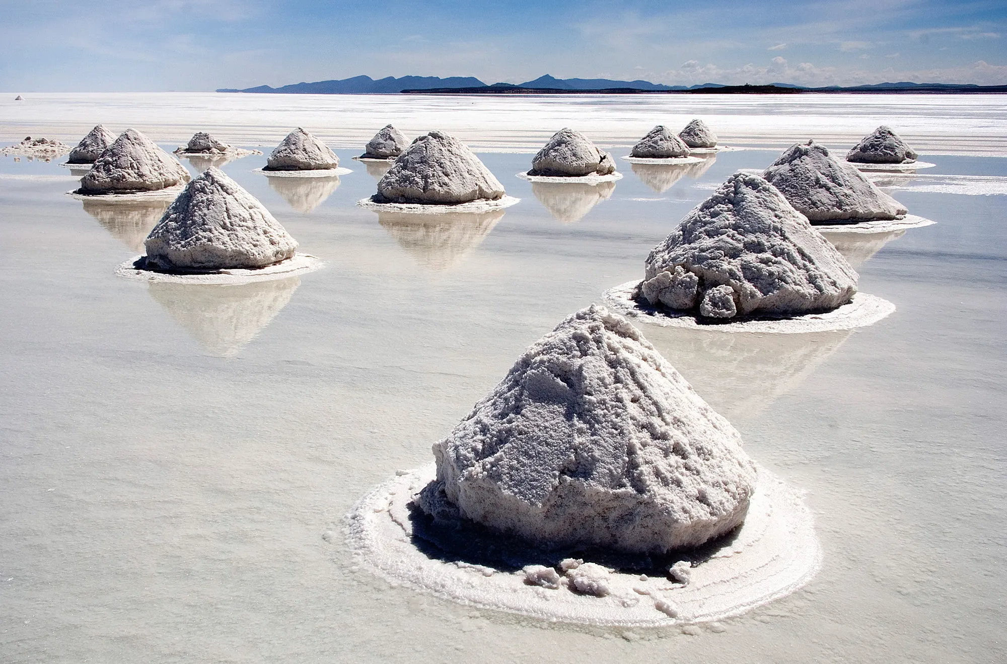
The world's largest salt flat, a mirror after rain.
Photo: Luca Galuzzi (Lucag), edit by Trialsanderrors / CC BY-SA 2.5, via Wikimedia Commons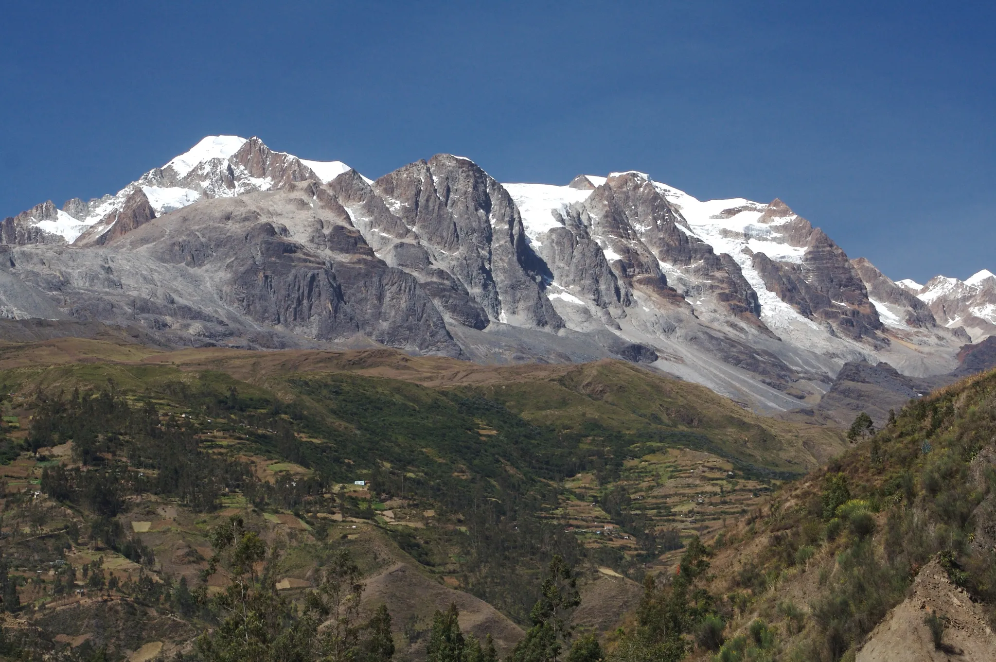
A 6,368-metre Andean peak above Lake Titicaca, sacred to the Aymara.
Photo: codiferous (Cody H) / CC BY 2.0, via Wikimedia Commons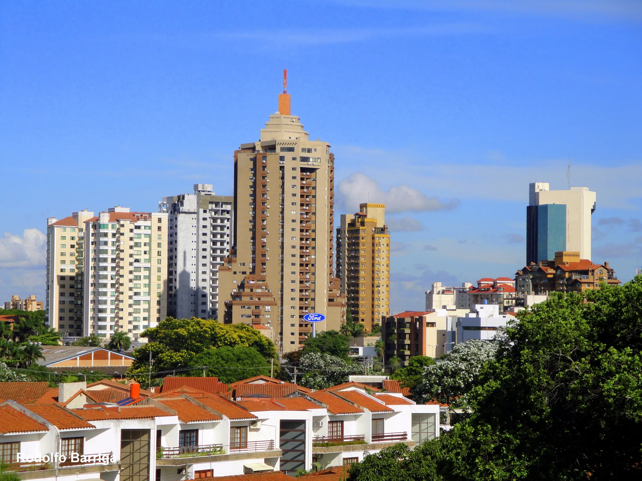
Bolivia's largest city, a tropical boomtown of ring roads in the eastern lowlands.
Photo: Rodolfo Barriga / CC BY-SA 3.0, via Wikimedia Commons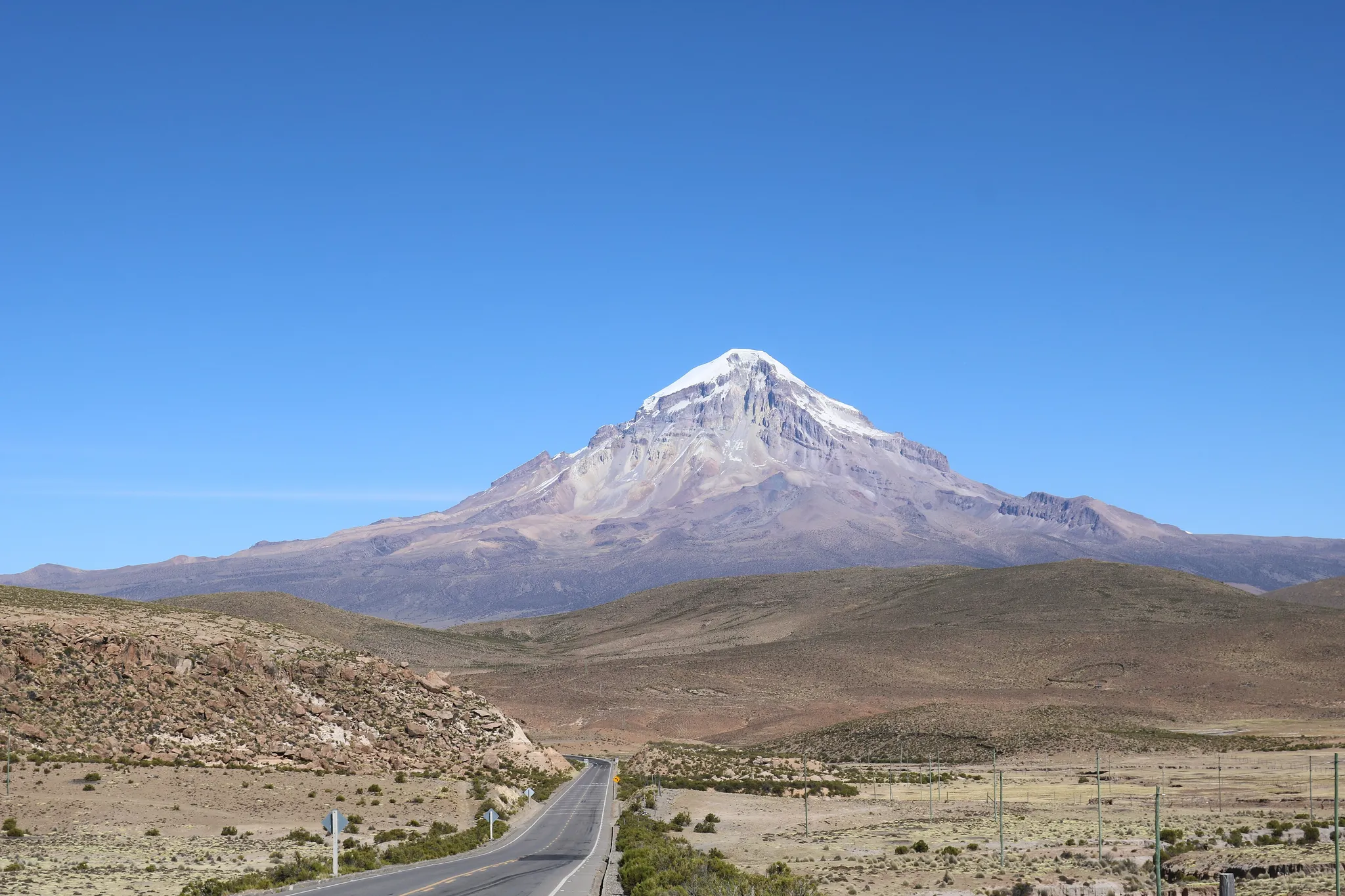
Bolivia's highest mountain, a 6,542-metre volcano above the Altiplano.
Photo: Thespacechaser / CC0, via Wikimedia Commons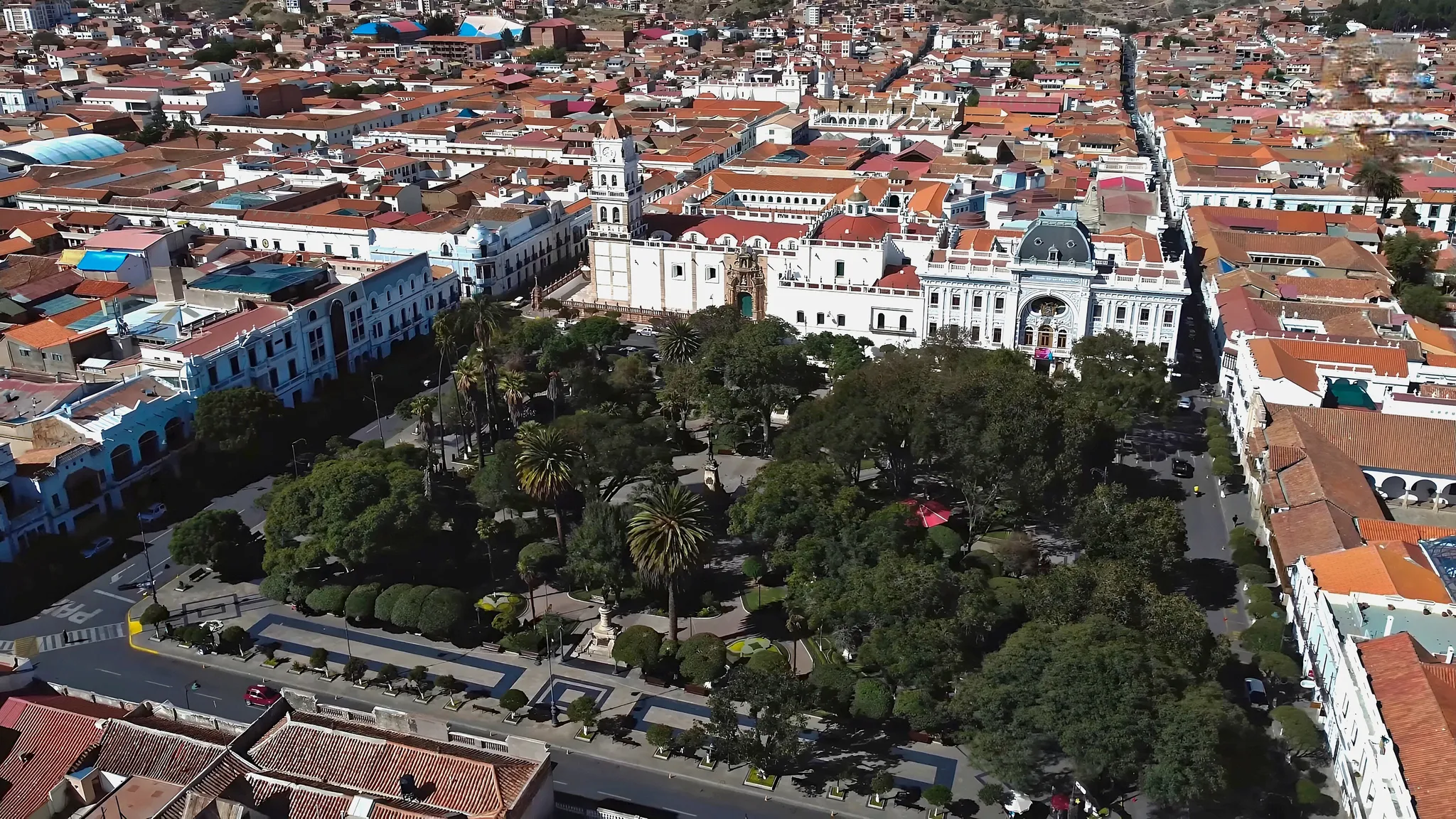
Bolivia's white colonial capital, where the country's independence was declared.
Photo: Parallelepiped09 / CC BY-SA 4.0, via Wikimedia Commons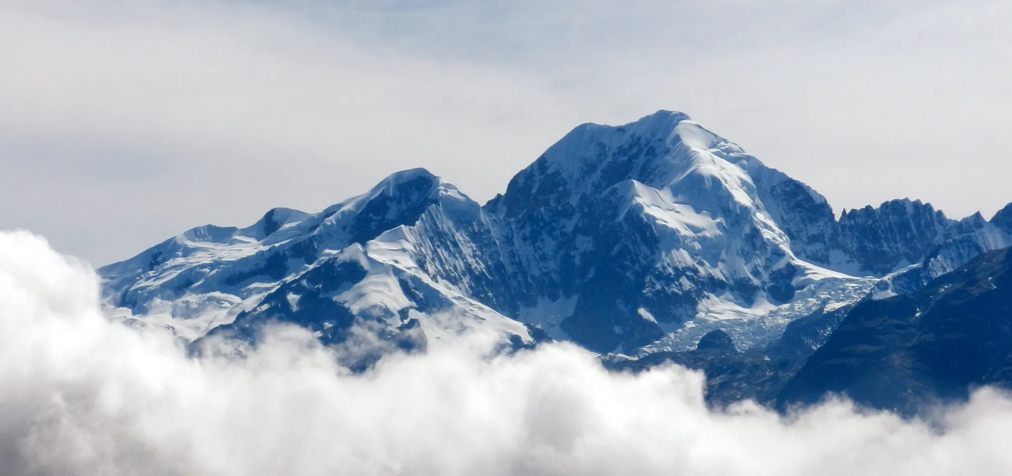
A 6,427-metre snow peak in the Cordillera Real of Bolivia.
Photo: JYB Devot / CC BY-SA 4.0, via Wikimedia Commons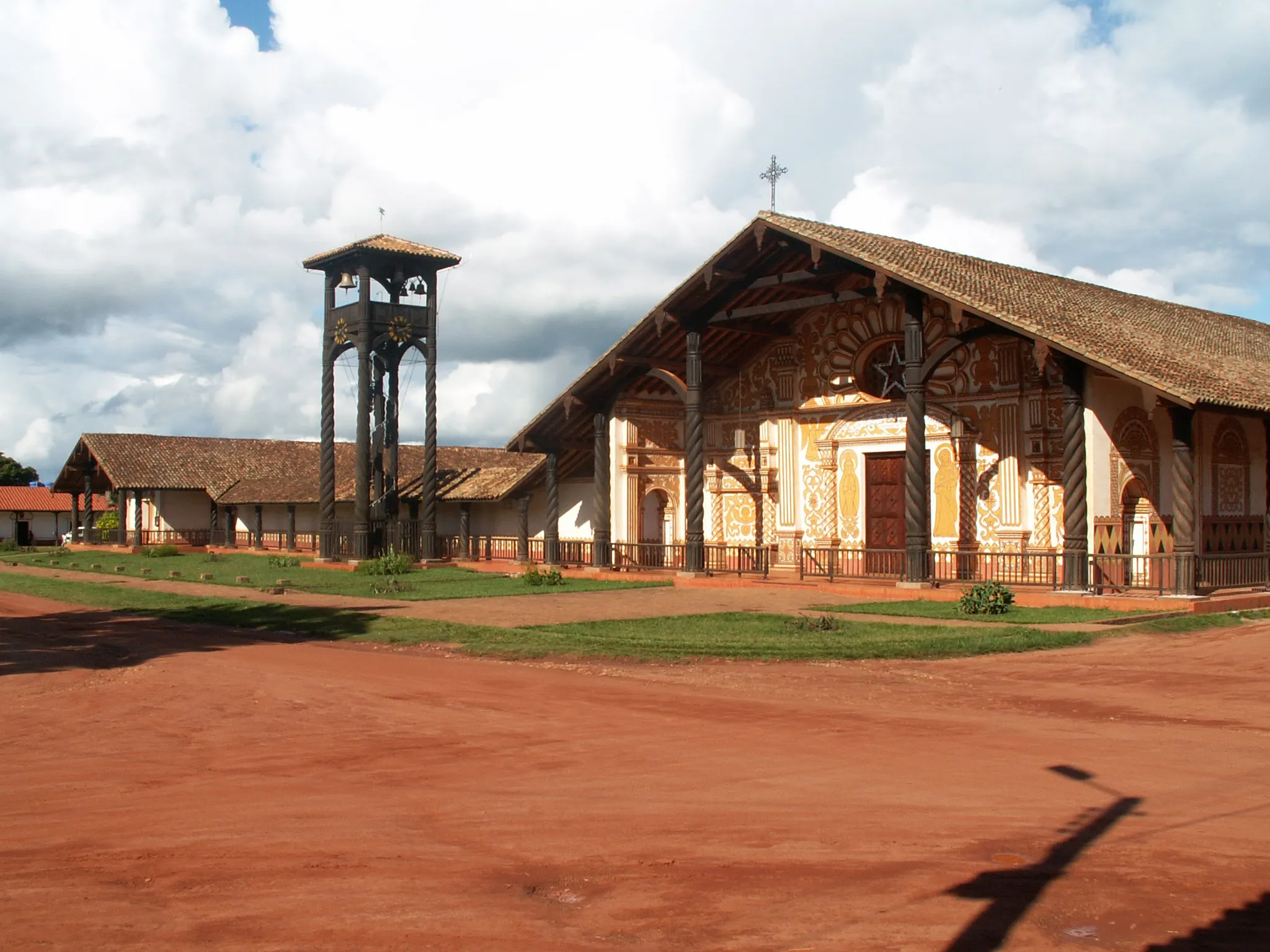
Wooden Jesuit mission churches from the 1700s, still in use in the Bolivian lowlands.
Photo: Daan at Dutch Wikipedia / CC BY-SA 3.0, via Wikimedia Commons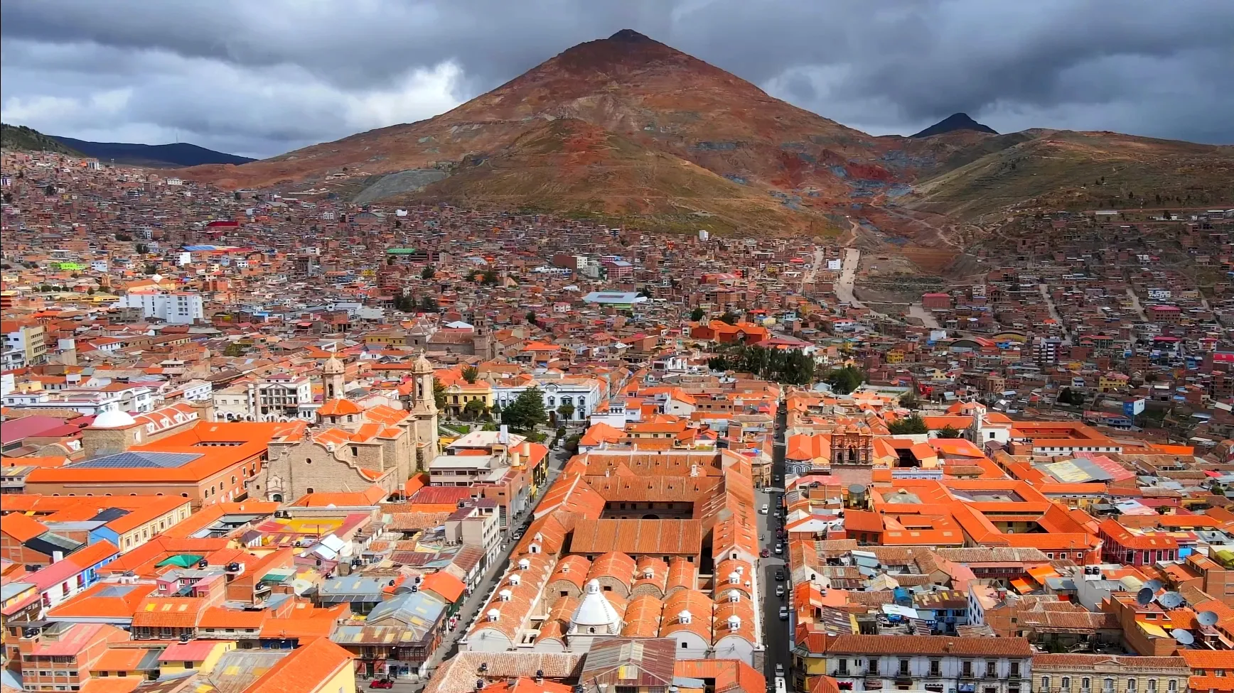
A 4,000-metre-high silver-mining city beneath the Cerro Rico mountain.
Photo: Parallelepiped09 / CC BY-SA 4.0, via Wikimedia Commons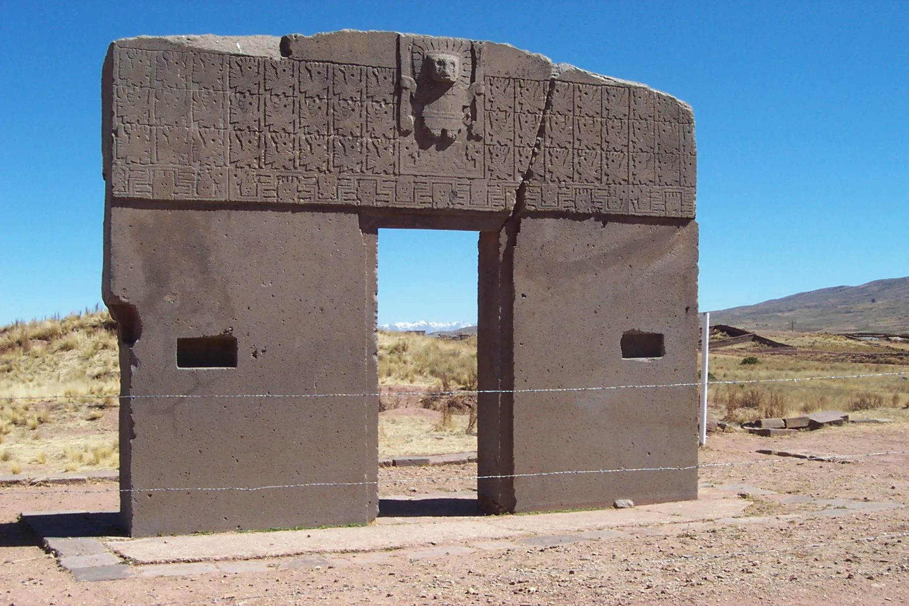
The Gateway of the Sun and a pre-Inca capital on the shore of Lake Titicaca.
Photo: Public domain, via Wikimedia Commons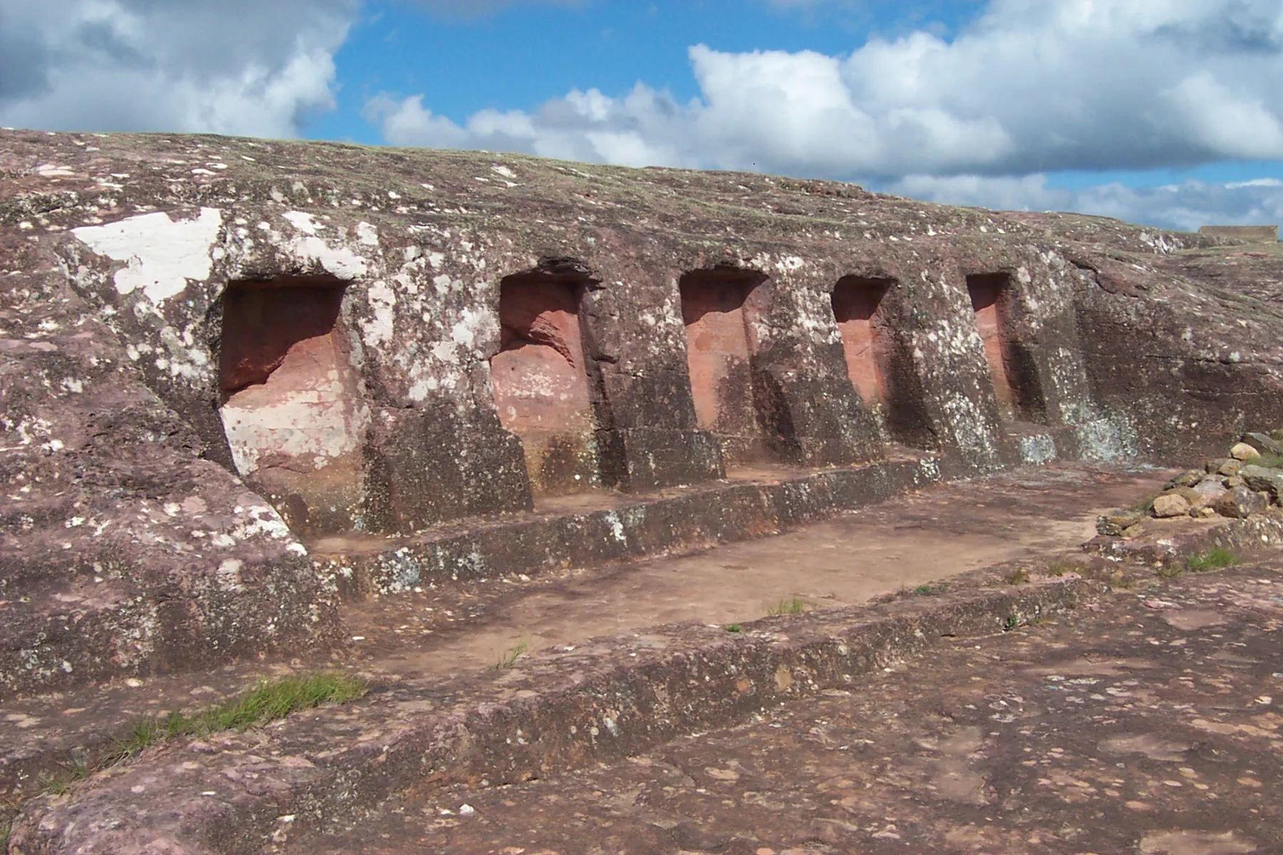
A giant carved sandstone rock, the largest petroglyph in the world.
Photo: Mhwater at Dutch Wikipedia / CC BY-SA 3.0, via Wikimedia CommonsHow to place them
West to east, Nevado Sajama to Jesuit Missions of Chiquitos, Bolivia's 10 places cover 710 km. Three of them sit within 90 km of each other in the north-west: Illampu, Janq'u Uma and Tiwanaku.
Salar de Uyuni, Illampu and Santa Cruz de la Sierra are rated hard, and six of the 10 are at that level. Potosí and Tiwanaku are the easy ones. Any pin within 120 km of Salar de Uyuni scores 5,000; that is the widest radius in the set. El Fuerte de Samaipata is a giant carved sandstone rock, the largest petroglyph in the world.
Bolivia is one country. The daily draws from all 167.
Play the daily in the appQuestions & answers
How many locations does Bolivia get?
There are 10, spanning Illampu to Salar de Uyuni. Five come up per round.
Which Bolivia location is rated hardest?
Salar de Uyuni, Illampu and Santa Cruz de la Sierra, plus three more, carry the hard rating, where 451 km of error costs half the score.
Which Bolivia photo forgives the widest miss?
Salar de Uyuni. Its radius is 120 km, the widest here; a pin within it takes the full 5,000.