Photo location game · Americas
Canada landmarks quiz: guess where 17 photos were taken
The 17 Canada locations from the game, laid out with their photos and facts. Play a round first, then read.
★ 4.7 on Google Play· 60 ratings· 500+ downloads· Free
The round is five photos long. Look, tap the map, read the distance, move on.
Tap the map where you think this is
Where they are
17 on the mapAll 17 places
by id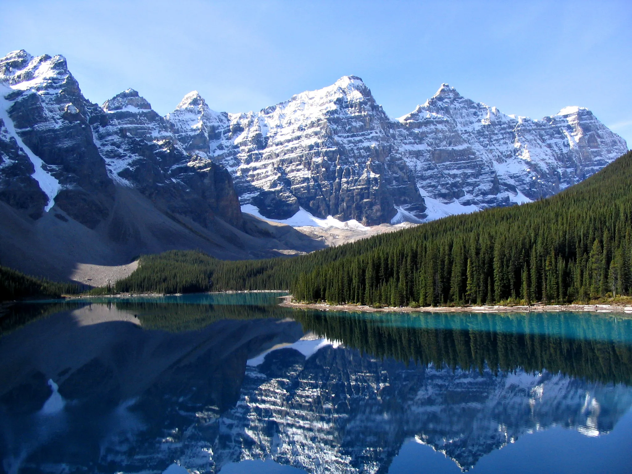
A glacier-fed turquoise lake beneath the Valley of the Ten Peaks.
Photo: Public domain, via Wikimedia Commons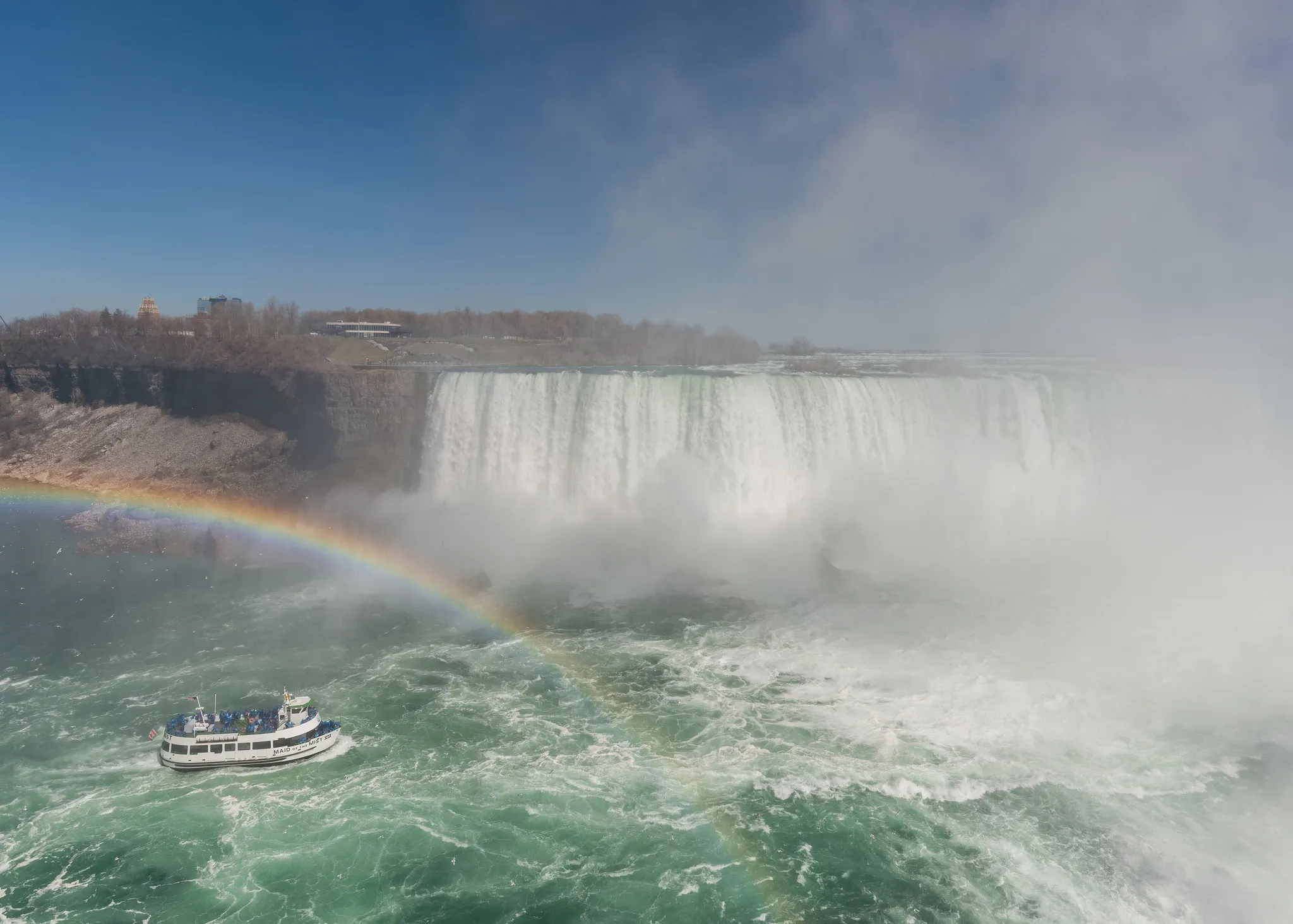
The thundering waterfalls straddling the US–Canada border.
Photo: DXR / CC BY-SA 4.0, via Wikimedia Commons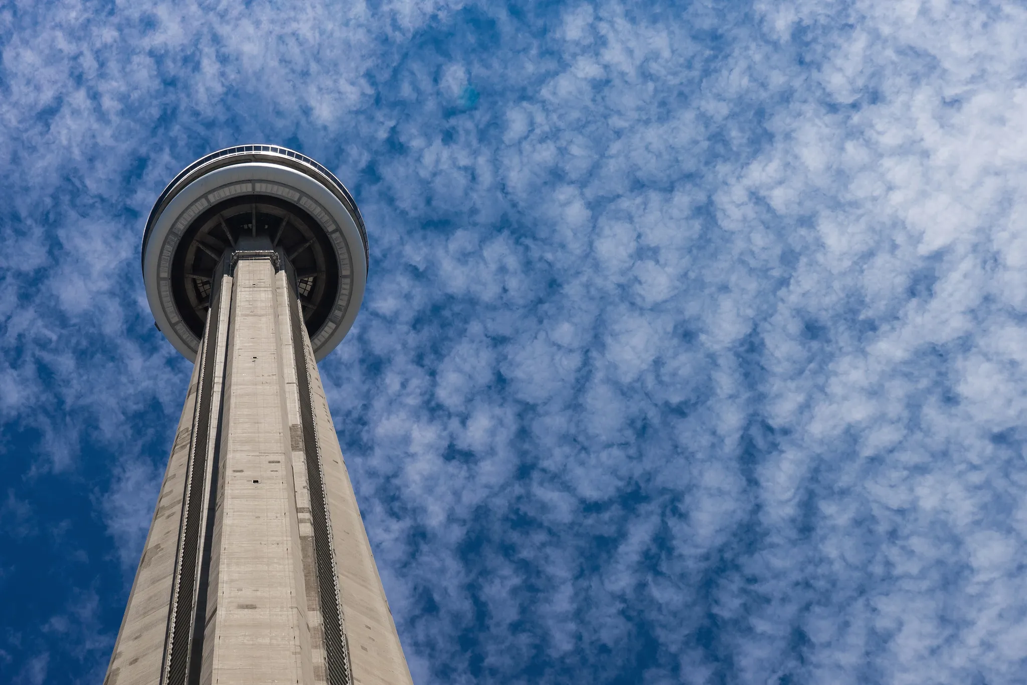
A slender concrete communications tower over Lake Ontario.
Photo: Scott Webb scottwebb / CC0, via Wikimedia Commons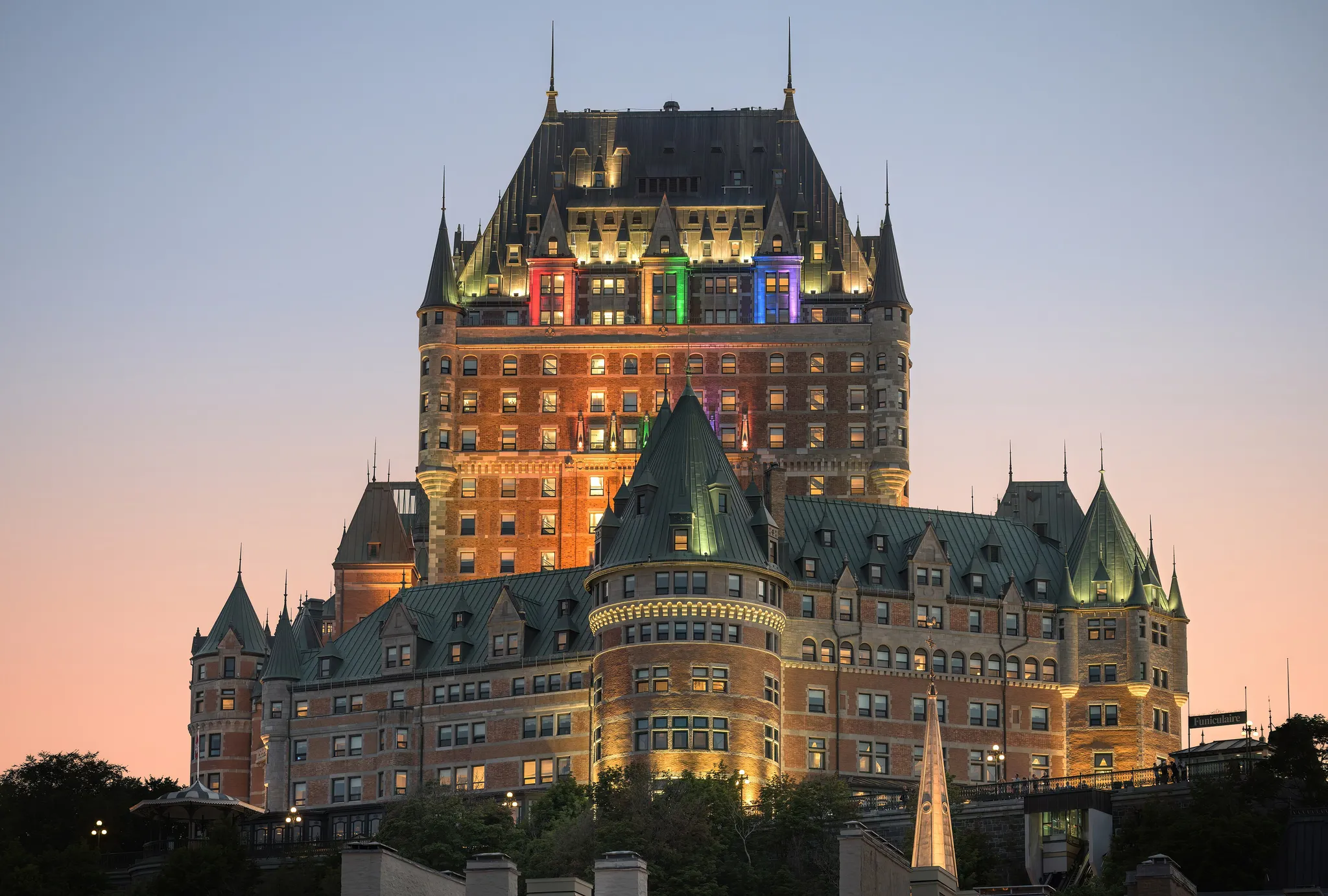
A grand château-hotel above a walled old town on the St. Lawrence.
Photo: Wilfredor / CC0, via Wikimedia Commons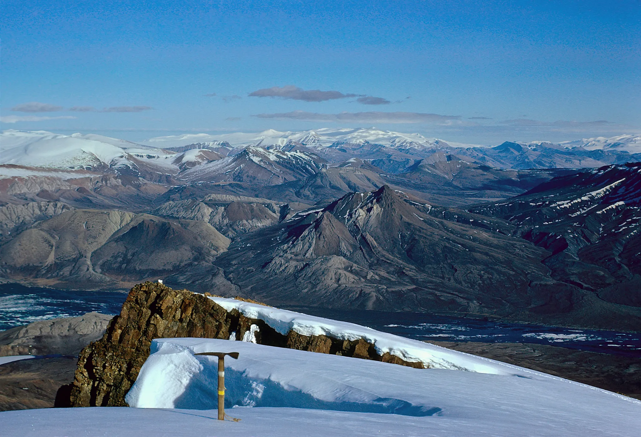
A remote Arctic island of fossil forests and glaciers, with no permanent residents.
Photo: Matti&Keti; Lorenz.King@geogr.uni-giessen.de / CC BY-SA 4.0, via Wikimedia Commons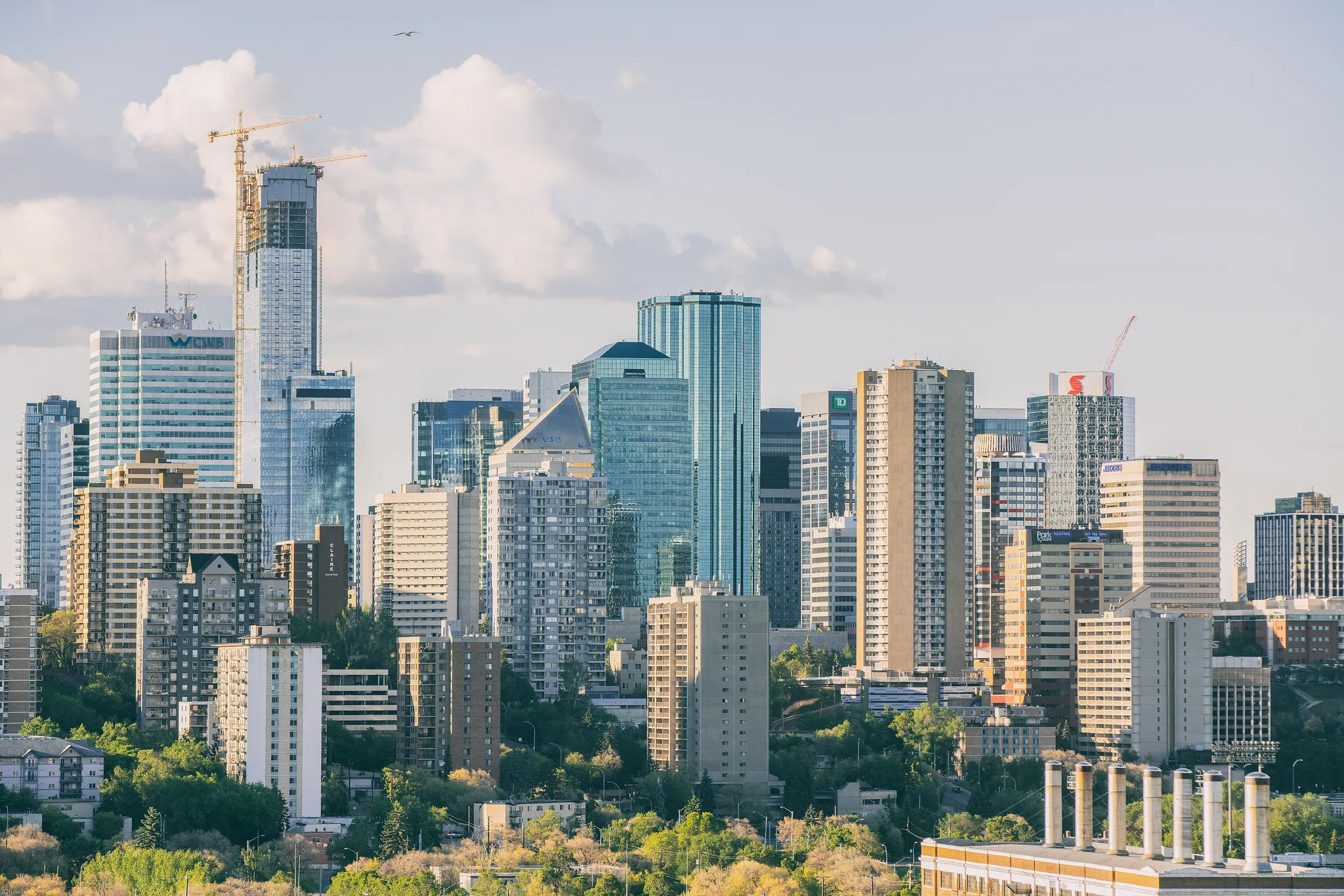
Alberta's capital, gateway to the north and home of one of the world's largest malls.
Photo: IQRemix / CC BY-SA 2.0, via Wikimedia Commons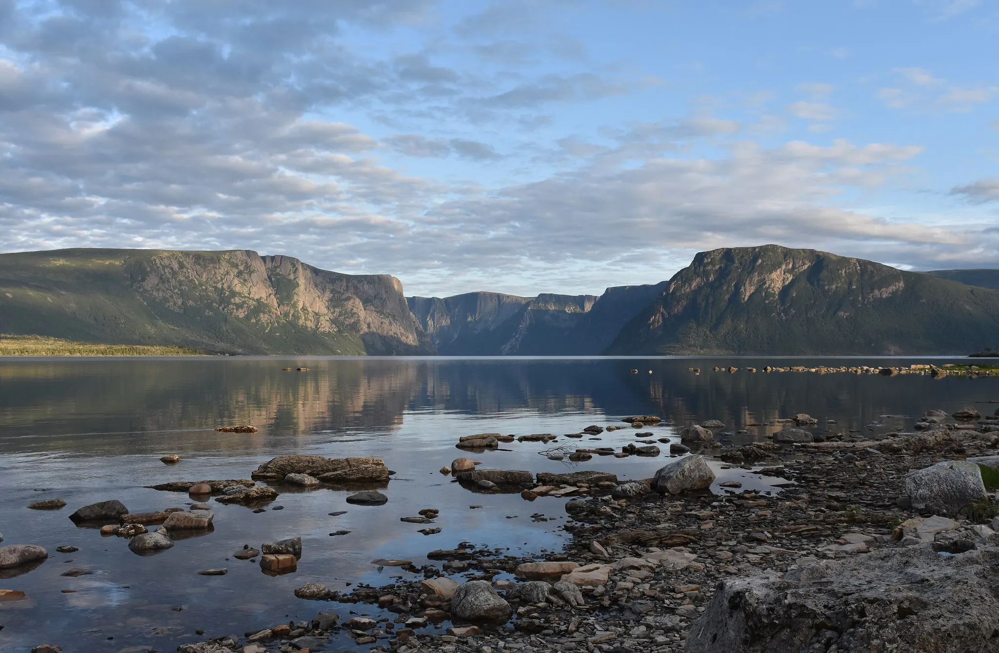
Fjords and a bare orange tableland where the Earth's mantle lies exposed.
Photo: Adavyd / CC BY-SA 4.0, via Wikimedia Commons
A vast northern lake with Canada's largest active sand dunes on its shore.
Photo: randreu / CC BY 3.0, via Wikimedia Commons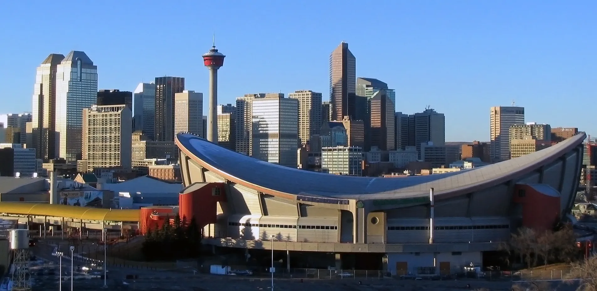
Alberta's largest city, home of the Stampede rodeo and the 1988 Winter Olympics.
Photo: Public domain, via Wikimedia Commons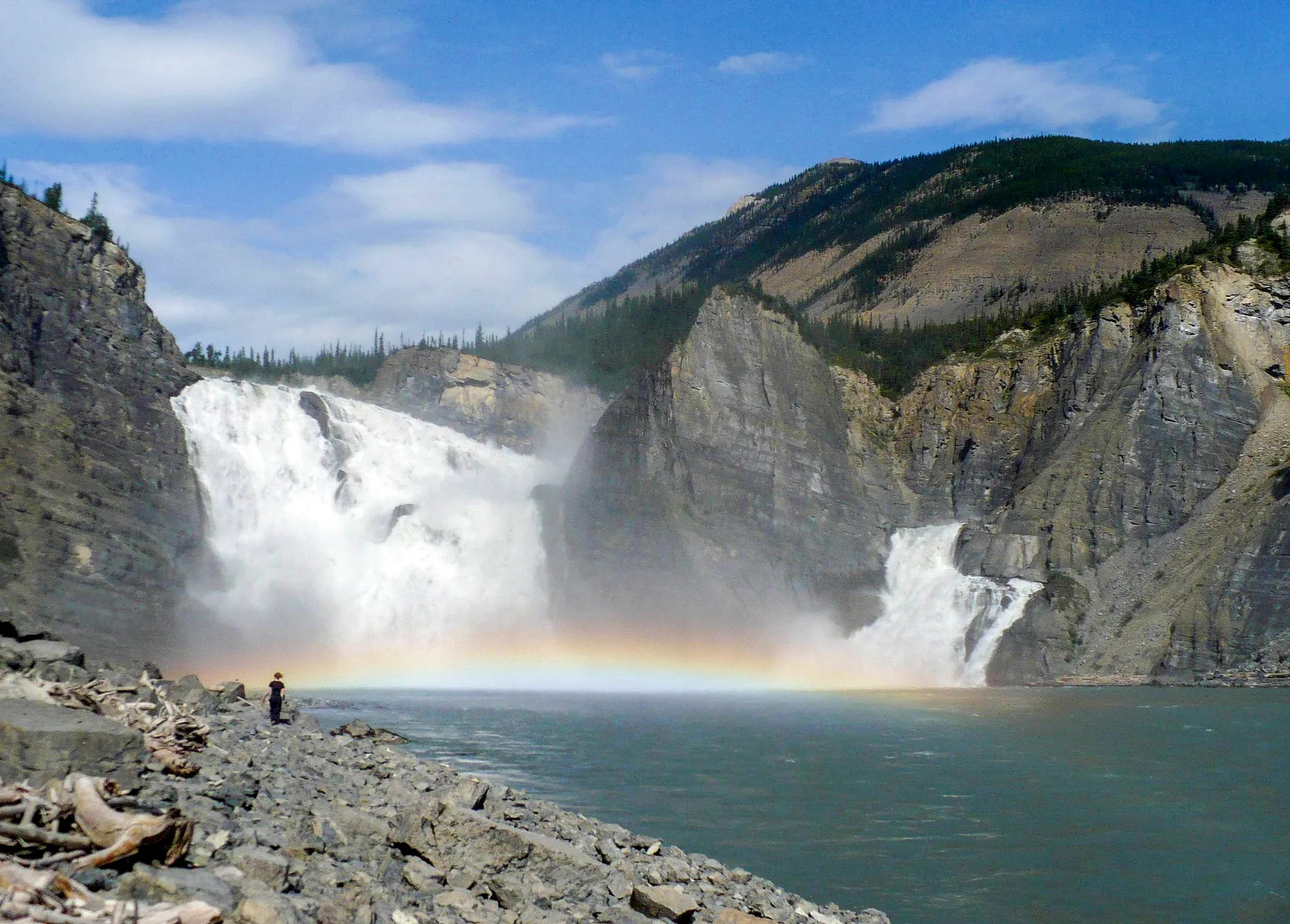
A wilderness river park with Virginia Falls, twice the height of Niagara.
Photo: Public domain, via Wikimedia Commons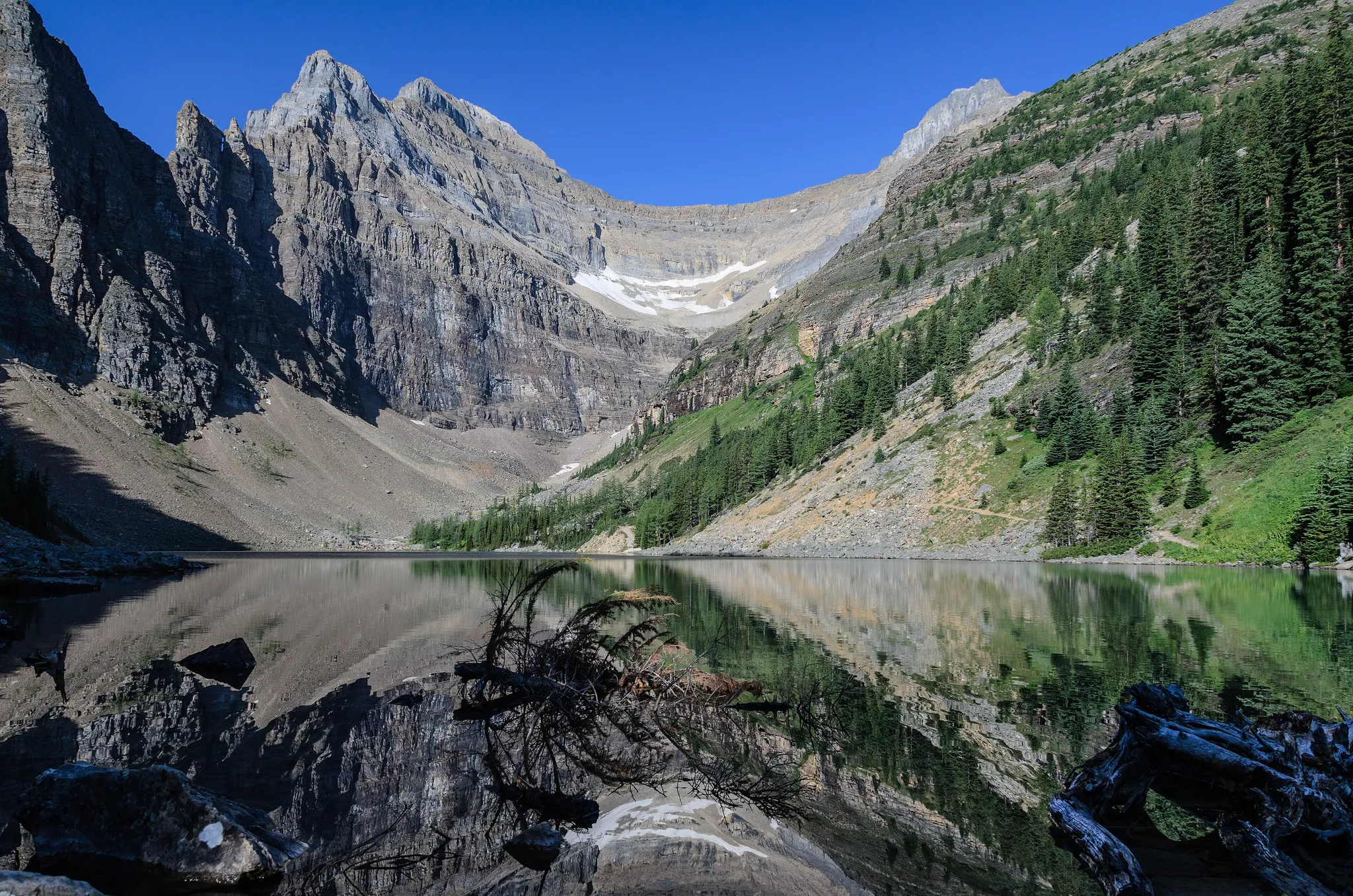
Canada's first national park, turquoise lakes beneath the Rockies.
Photo: Florian Fuchs / CC BY 3.0, via Wikimedia Commons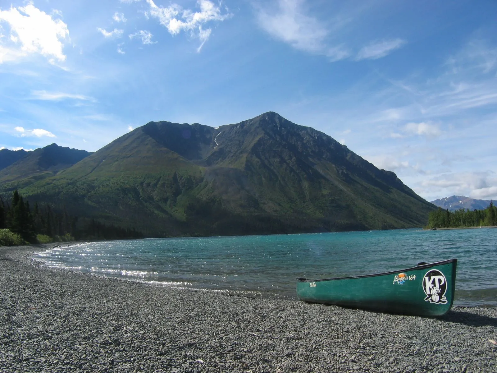
The largest protected wilderness on Earth, straddling Alaska and Yukon.
Photo: John Johnston / CC BY 2.0, via Wikimedia Commons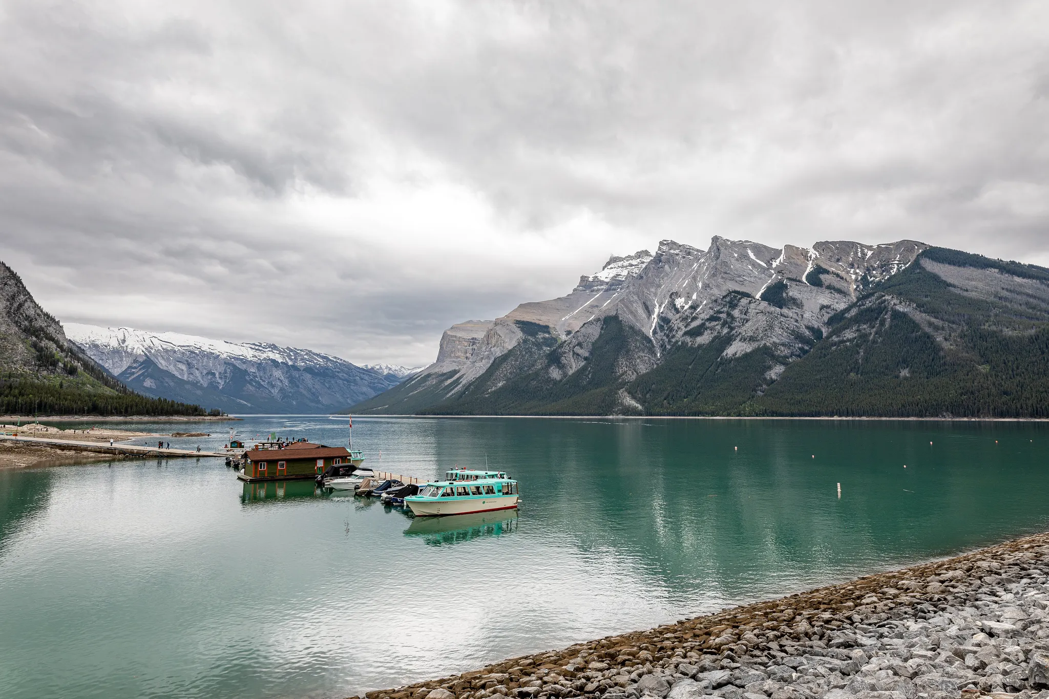
Banff, Jasper, Yoho and Kootenay together, the classic Canadian Rockies.
Photo: Dietmar Rabich / CC BY-SA 4.0, via Wikimedia Commons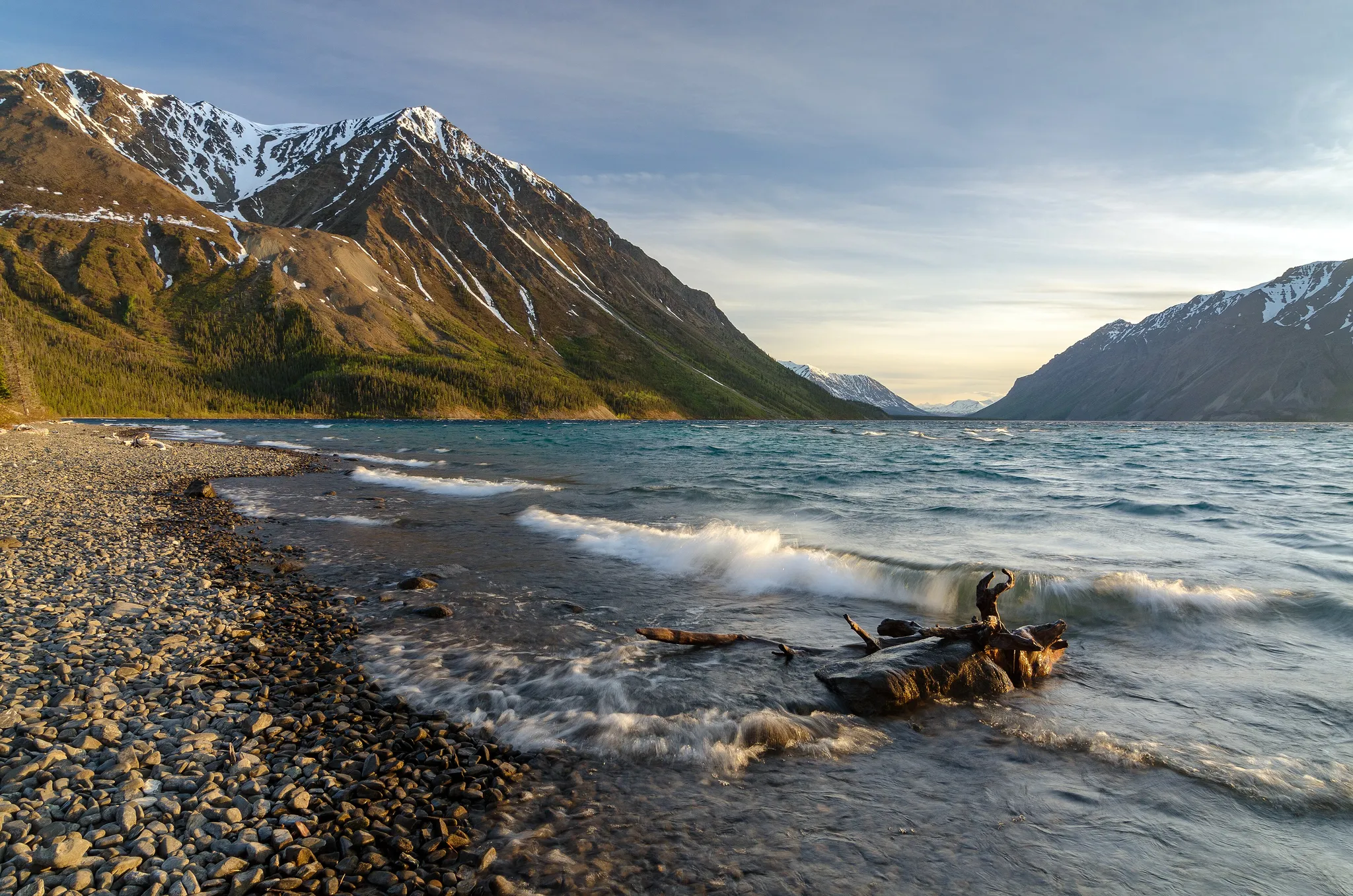
A Yukon wilderness of icefields and Mount Logan, Canada's highest peak.
Photo: Jakub Fryš / CC BY-SA 4.0, via Wikimedia Commons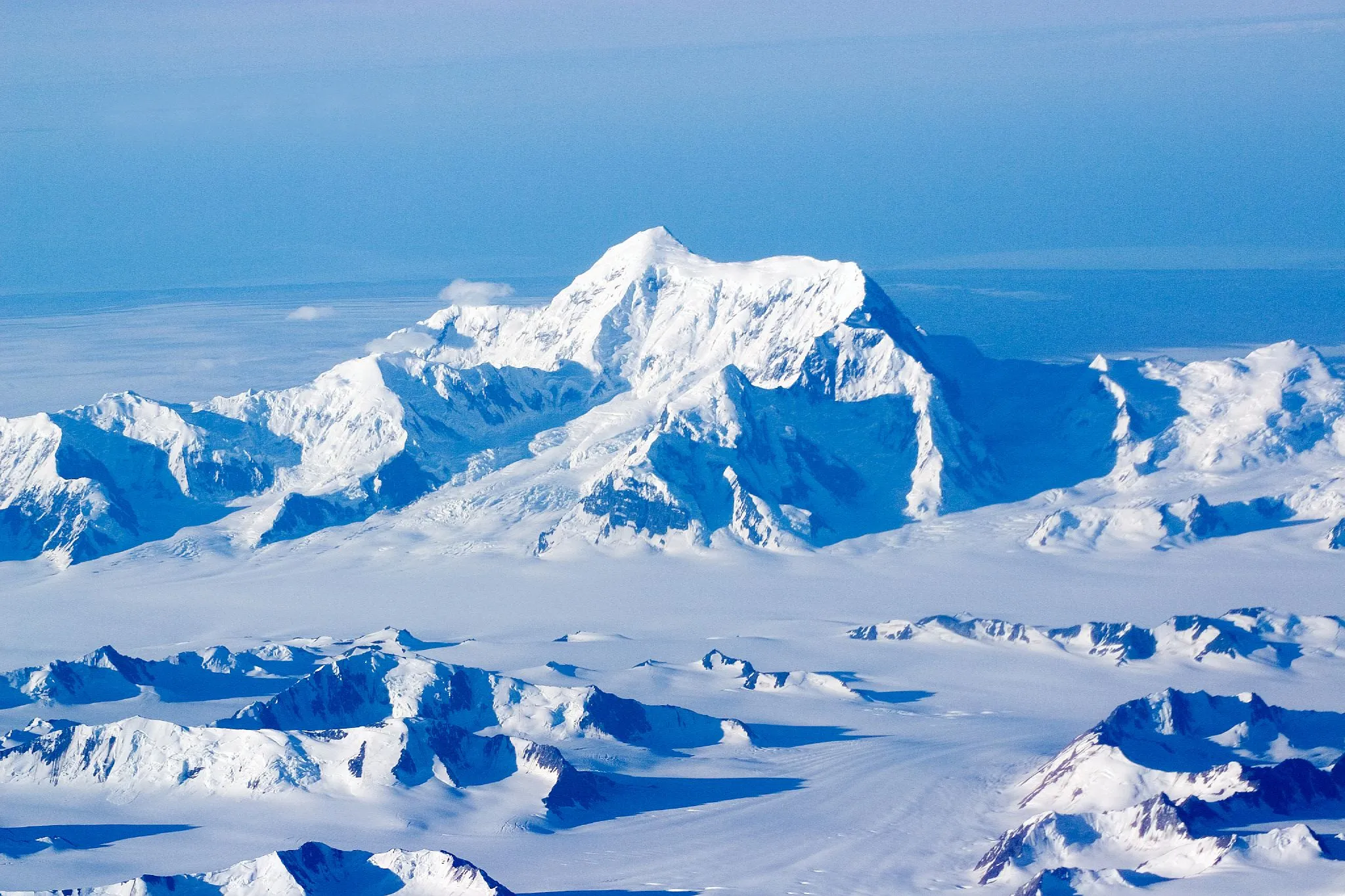
The second highest peak in both Canada and the US, rising straight from the Pacific.
Photo: Jack French from San Francisco, USA / CC BY 2.0, via Wikimedia Commons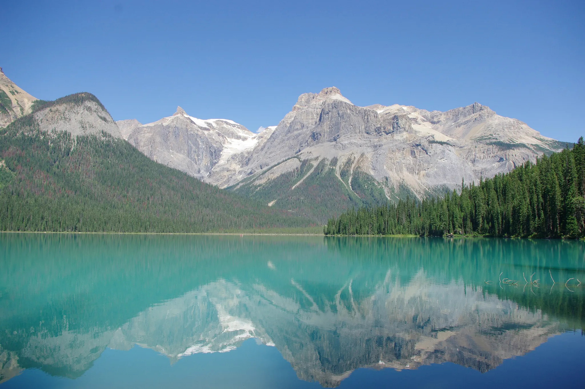
A Rockies park with Emerald Lake and the Burgess Shale fossil beds.
Photo: JZ85 / CC BY 3.0, via Wikimedia Commons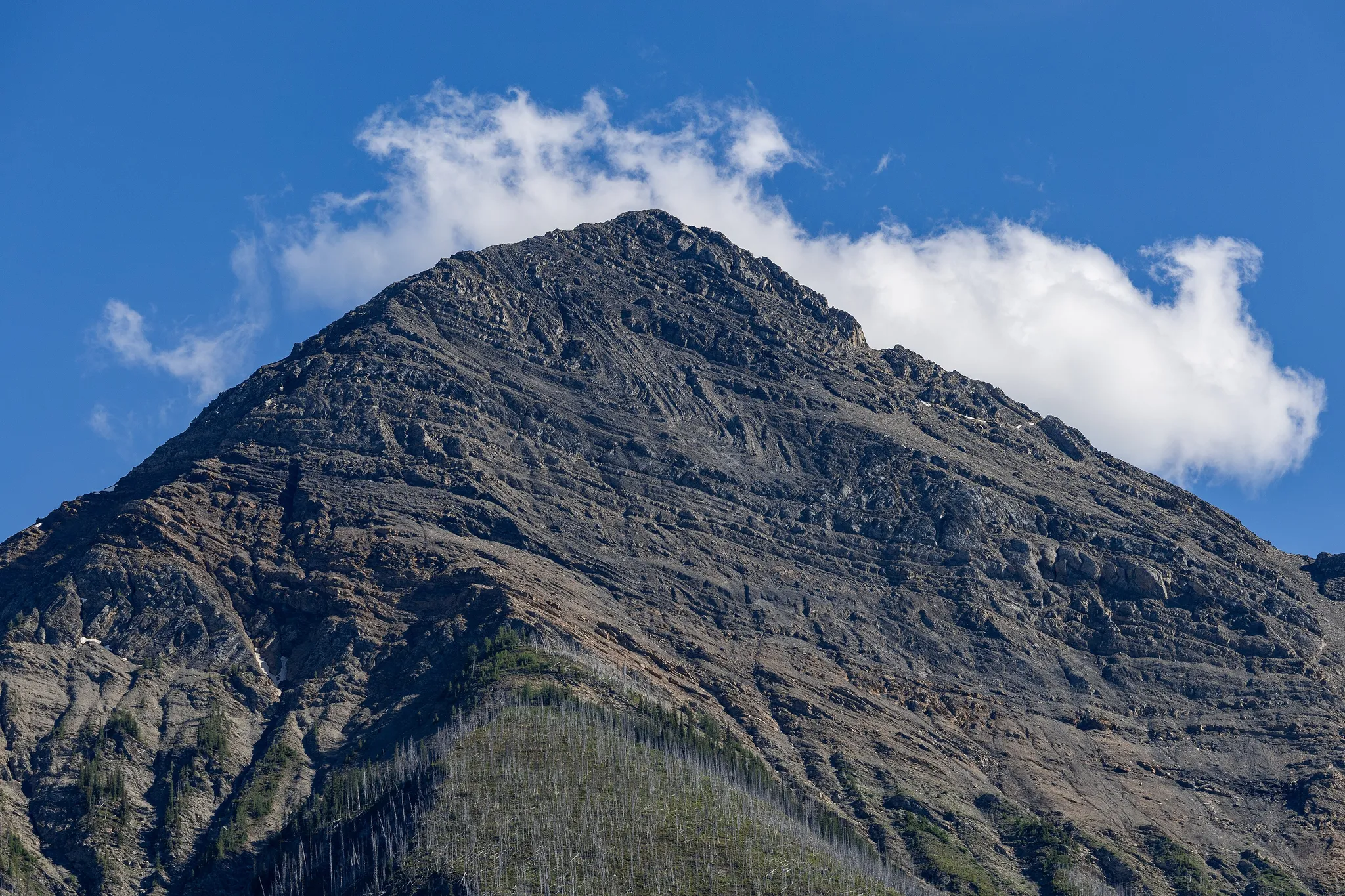
A Rockies park of hot springs and the vivid Marble Canyon.
Photo: Chris Woodrich / CC BY-SA 4.0, via Wikimedia CommonsHow to place them
Start at Kluane / Wrangell – St. Elias / Glacier Bay / Tatshenshini-Alsek and head east; Gros Morne National Park is the last of Canada's 17 places, 5,000 km on. Moraine Lake, Banff, Calgary, Banff National Park, Canadian Rocky Mountain Parks World Heritage Site and two more keep close company near the middle, 120 km end to end. Think of Axel Heiberg Island on its own: 2,300 km to Nahanni National Park Reserve, the next nearest.
The mix is five easy, seven medium, five hard. Kootenay National Park is a Rockies park of hot springs and the vivid Marble Canyon.
Canada is one country. The daily draws from all 167.
Play the daily in the appQuestions & answers
How many Canada photos does the game have?
17. They run from Axel Heiberg Island down to Niagara Falls, and a round takes five at random.
What is the hardest Canada round?
Start with Moraine Lake, Banff, Québec City and Kluane / Wrangell – St. Elias / Glacier Bay / Tatshenshini-Alsek; two more share the rating. Hard photos halve in value with each 451 km of miss.
Where is full marks easiest in Canada?
Moraine Lake, Banff: 80 km of leeway, the most generous circle on this page.