Photo location game · Americas
Chile landmarks quiz: guess where 21 photos were taken
The 21 Chile locations from the game, laid out with their photos and facts. Play a round first, then read.
★ 4.7 on Google Play· 60 ratings· 500+ downloads· Free
The round is five photos long. Look, tap the map, read the distance, move on.
Tap the map where you think this is
Where they are
19 on the mapAll 21 places
by id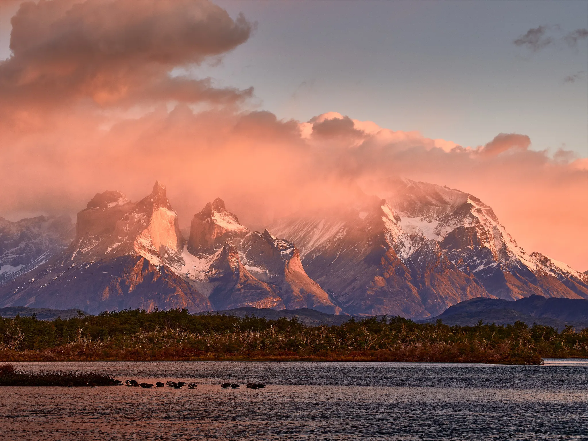
Granite towers rising over Patagonian lakes and steppe.
Photo: Pedro Szekely from Los Angeles, USA / CC BY-SA 2.0, via Wikimedia Commons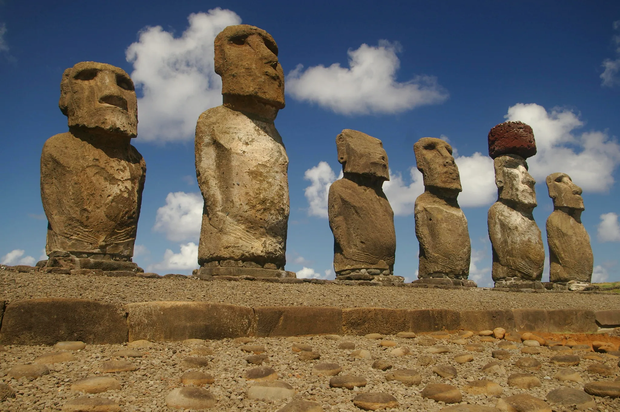
Giant stone heads standing on a remote Pacific island.
Photo: Rivi / CC BY-SA 3.0, via Wikimedia Commons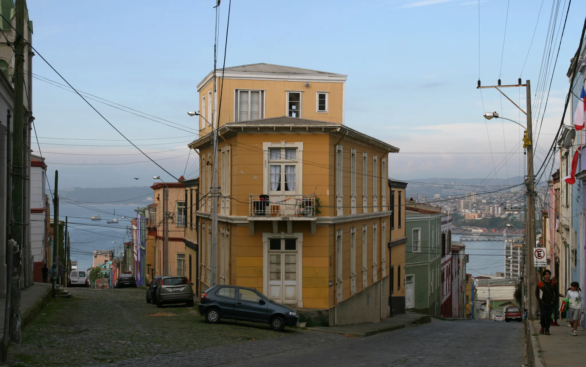
Colourful houses tumbling down hills above a Pacific port.
Photo: Till Niermann / CC BY 3.0, via Wikimedia Commons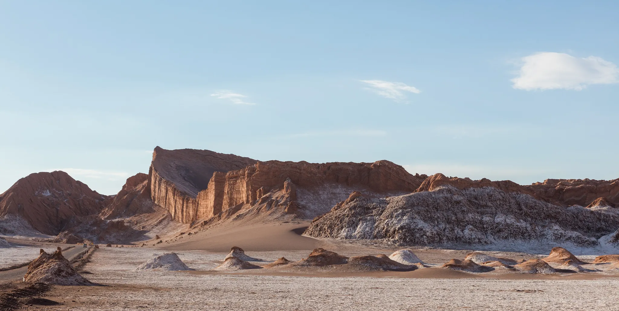
The world's driest desert, of salt valleys and red dunes.
Photo: Diego Delso / CC BY-SA 4.0, via Wikimedia Commons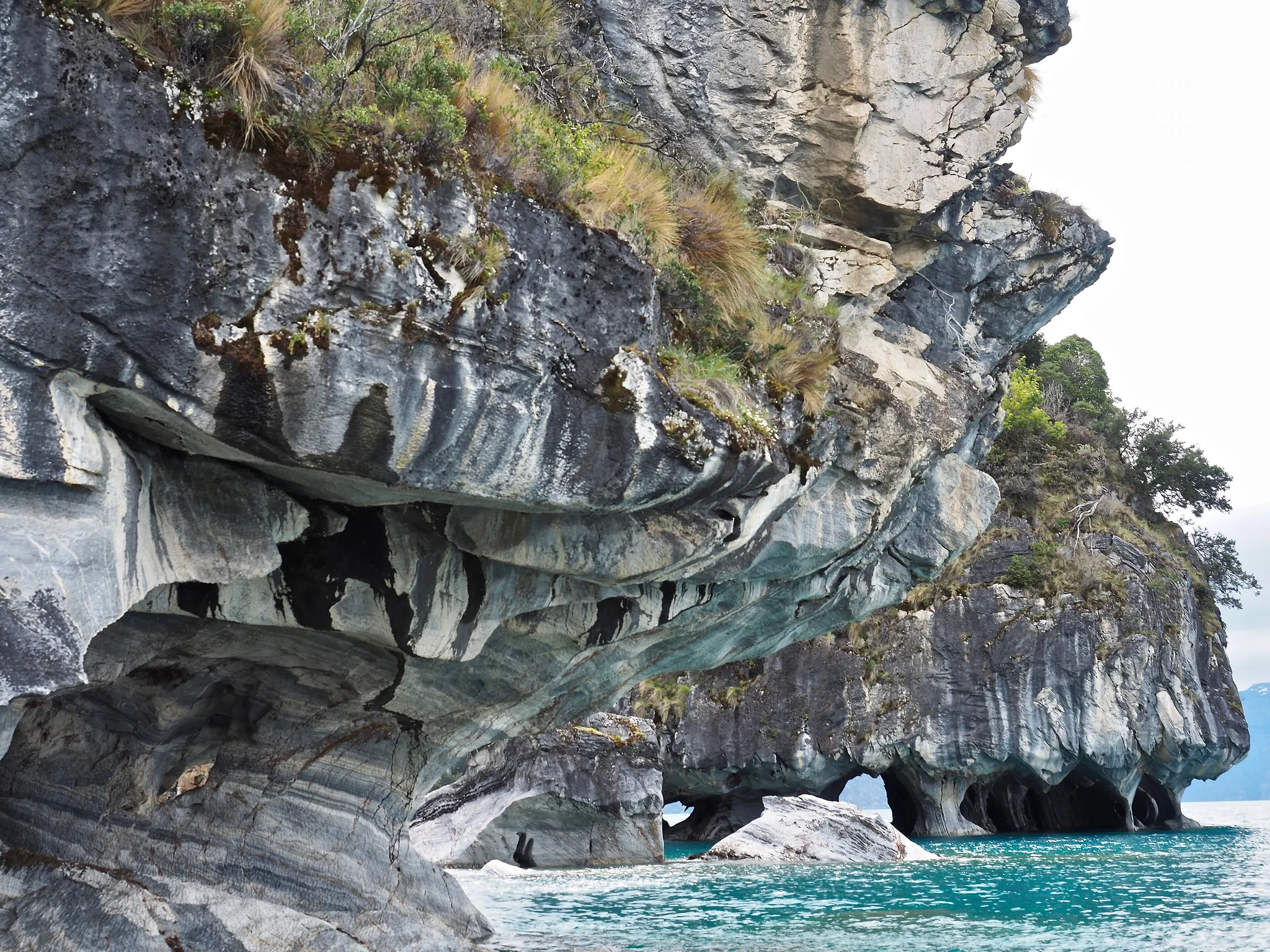
Swirled marble caverns above the turquoise water of a Patagonian lake.
Photo: Wescottm / CC BY 4.0, via Wikimedia Commons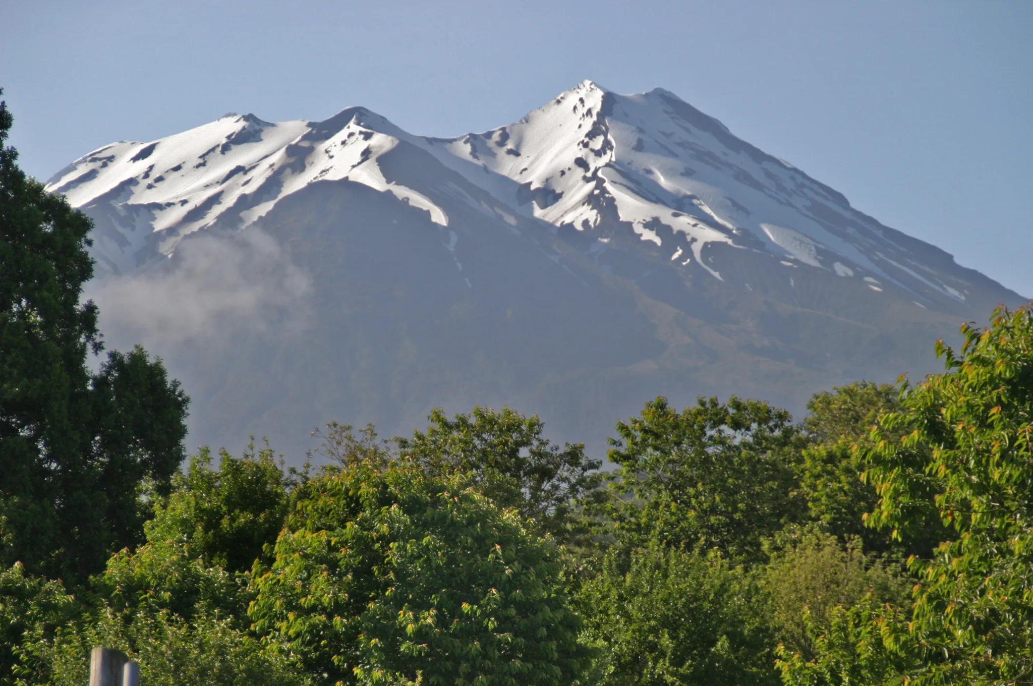
A Chilean volcano that erupted without warning in 2015 after 43 quiet years.
Photo: W. Bulach / CC BY-SA 4.0, via Wikimedia Commons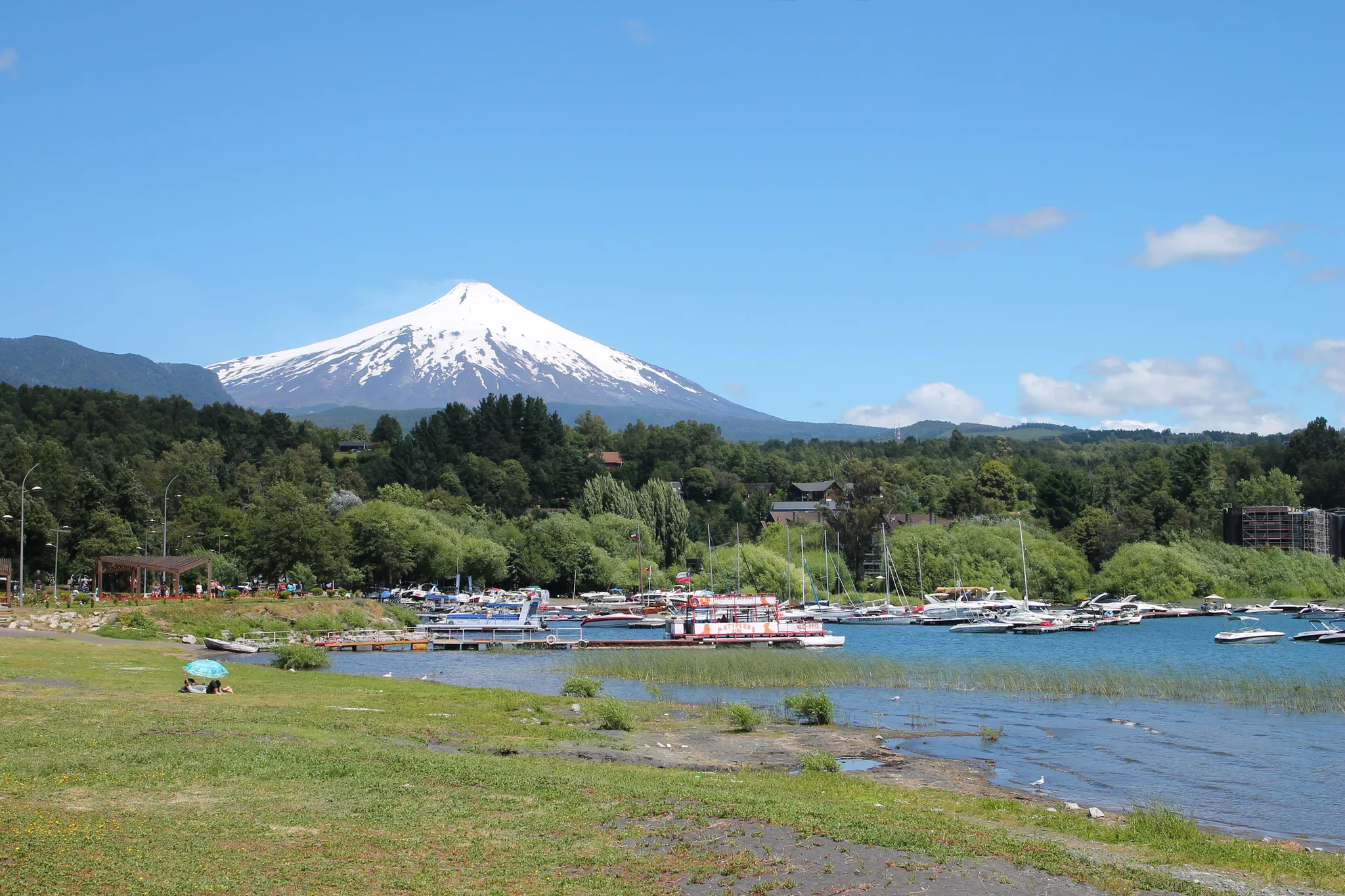
One of the most active volcanoes in South America, with a lava lake in its crater.
Photo: Draceane / CC BY-SA 4.0, via Wikimedia Commons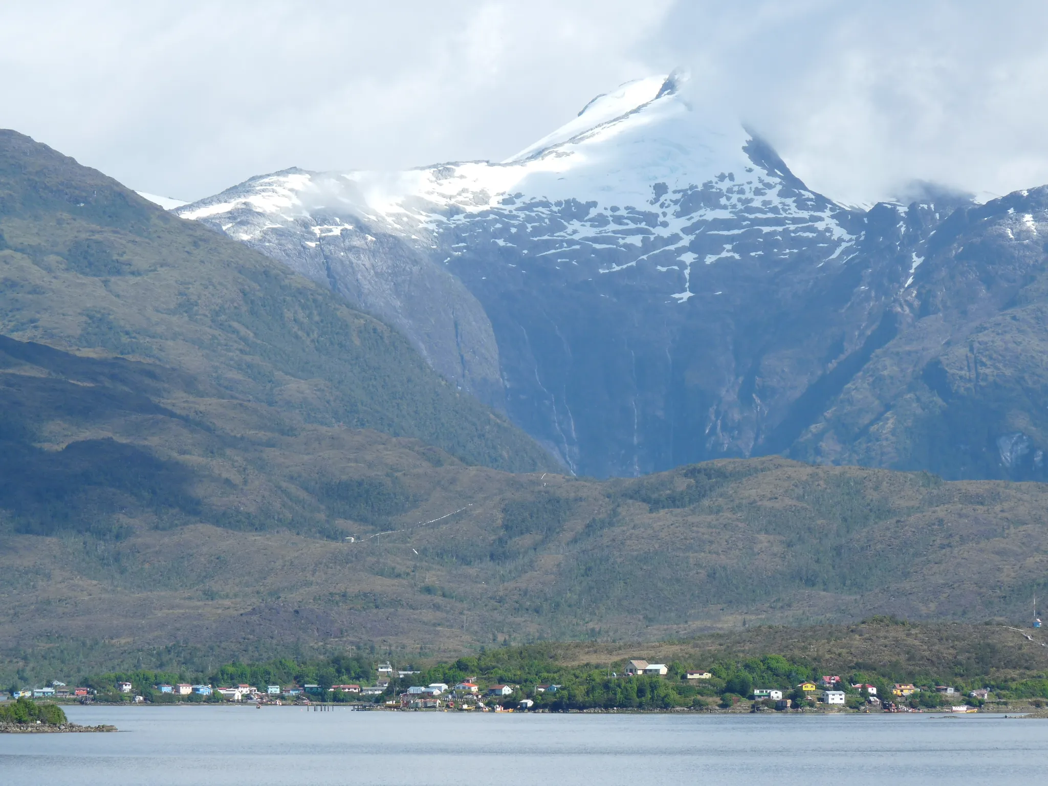
A large uninhabited island of fjords and rainforest in Chilean Patagonia.
Photo: Public domain, via Wikimedia Commons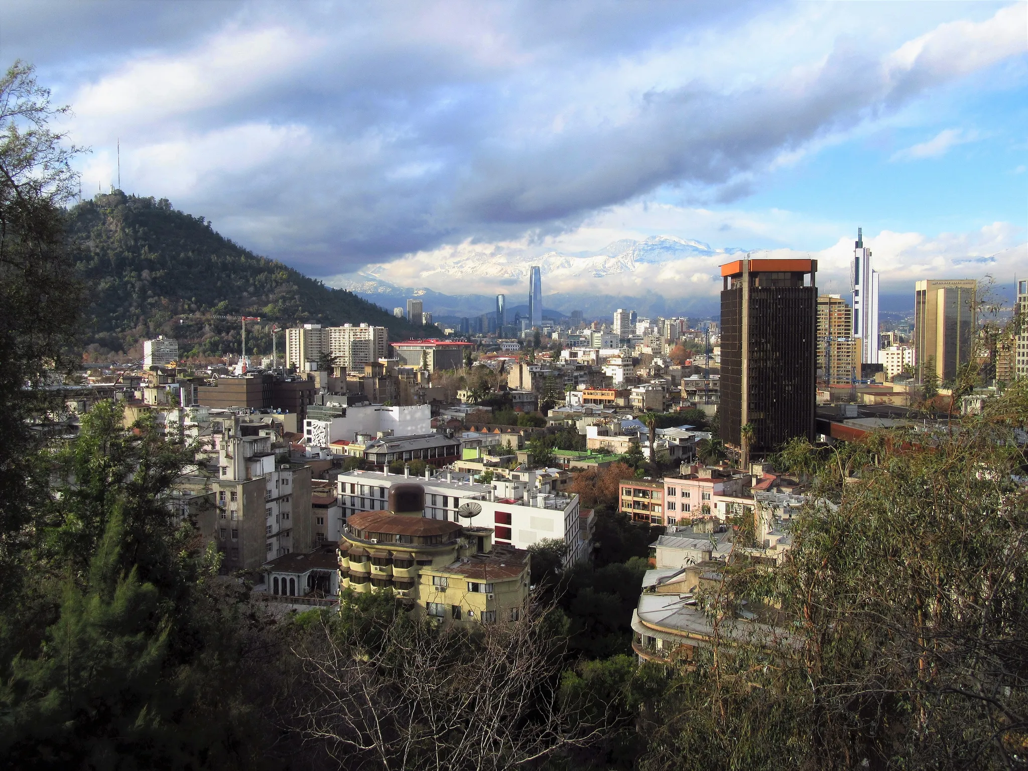
A granite needle in Patagonia, one of the hardest climbs in the world.
Photo: Felipe Restrepo Acosta / CC BY-SA 4.0, via Wikimedia Commons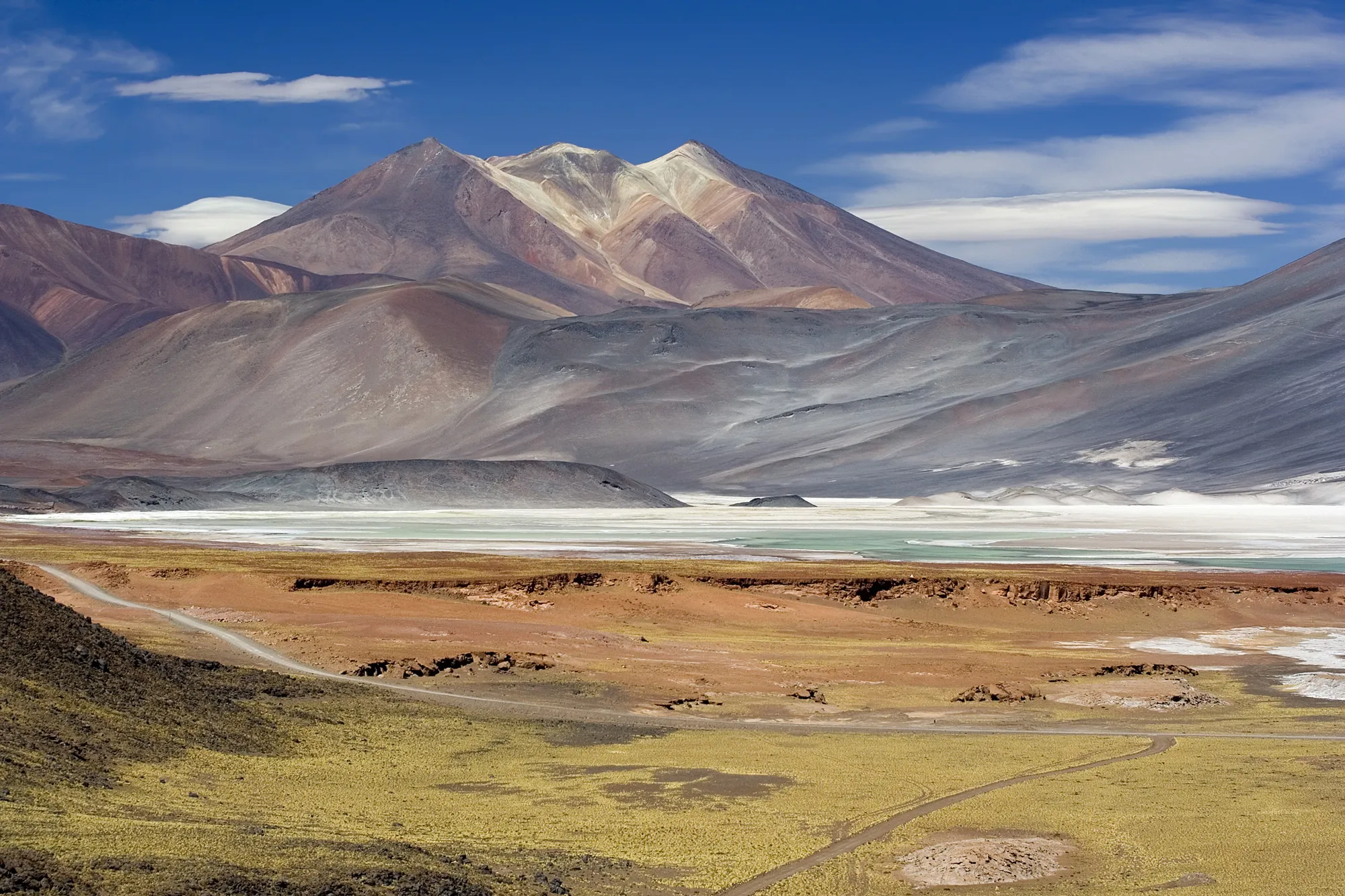
A 6,638-metre volcano on the Chile–Argentina border, with an Inca shrine on its summit.
Photo: Luca Galuzzi (Lucag) / CC BY-SA 2.5, via Wikimedia Commons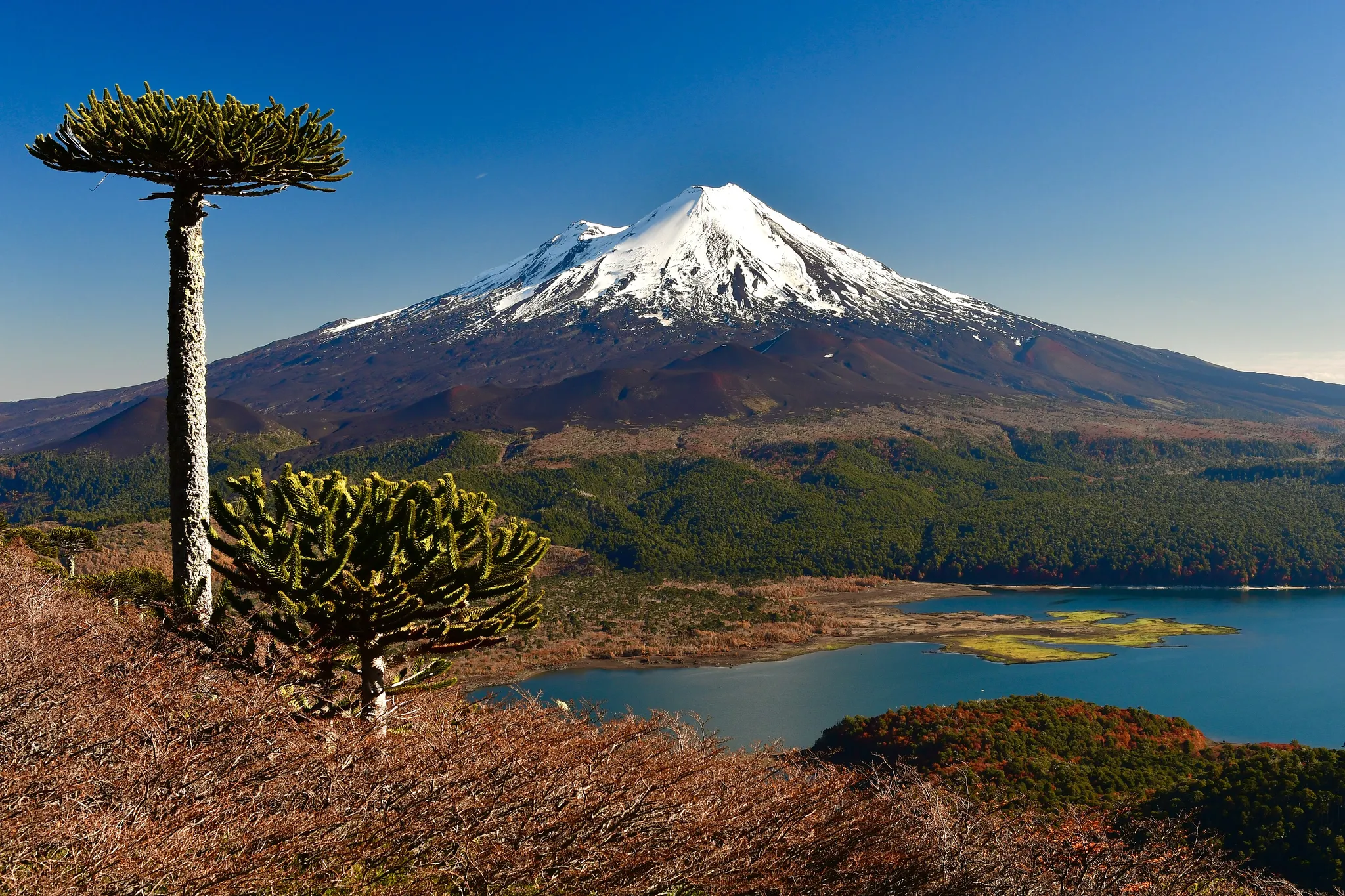
One of Chile's most active volcanoes, a snow-capped cone with a ski resort on its slopes.
Photo: Mpazmarzolo / CC BY-SA 4.0, via Wikimedia Commons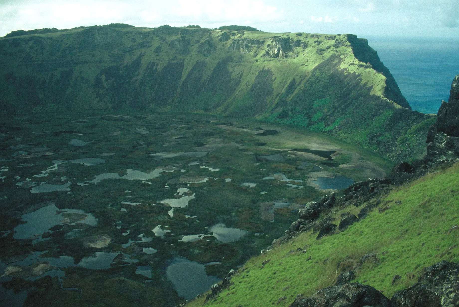
The volcanic crater lake of Rano Kau on Easter Island, home of the moai.
Photo: ProfessorX / CC BY-SA 3.0, via Wikimedia Commons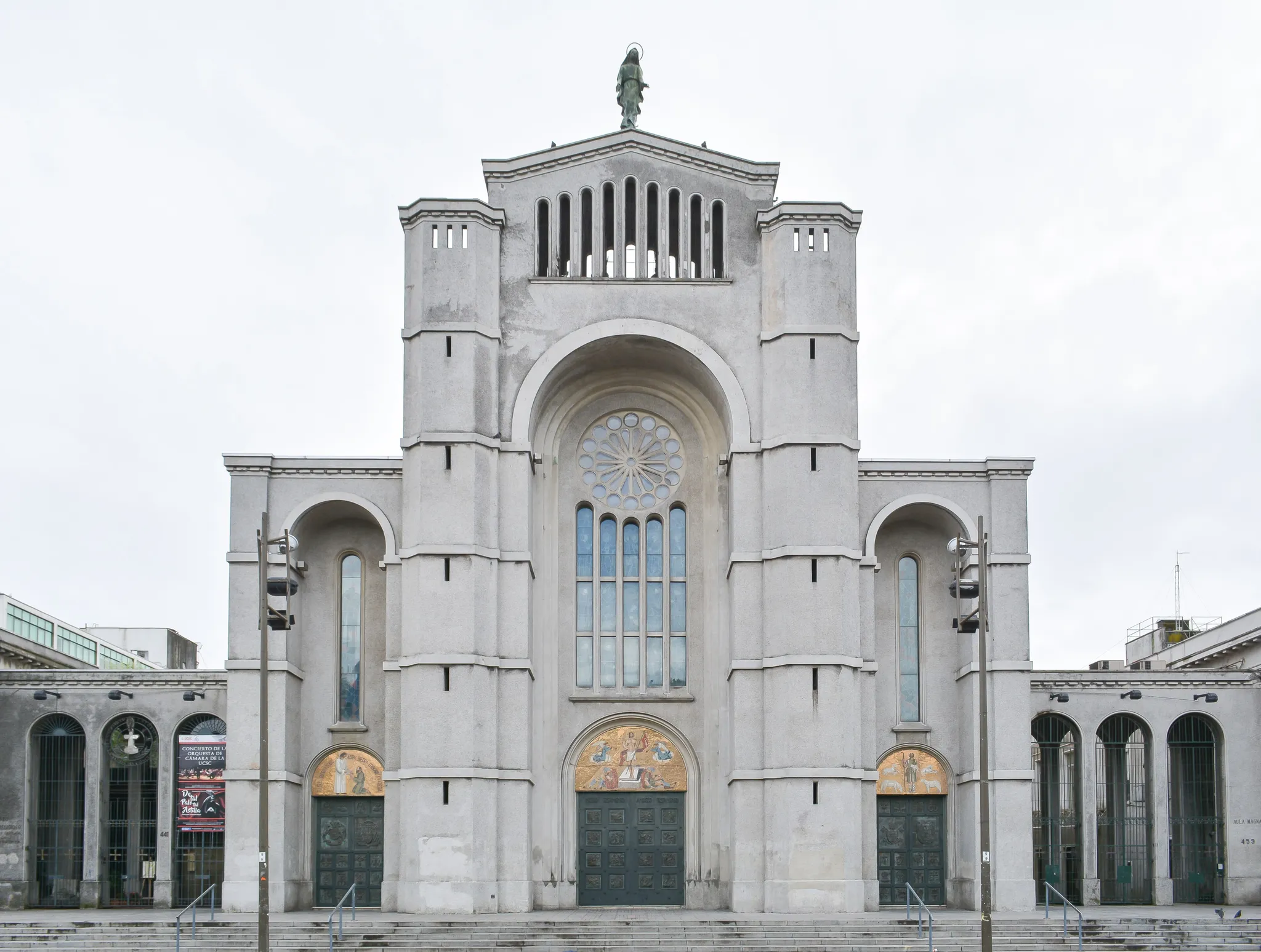
The concrete cathedral of Concepción, rebuilt after the 1939 earthquake.
Photo: Carlos Figueroa / CC BY-SA 4.0, via Wikimedia Commons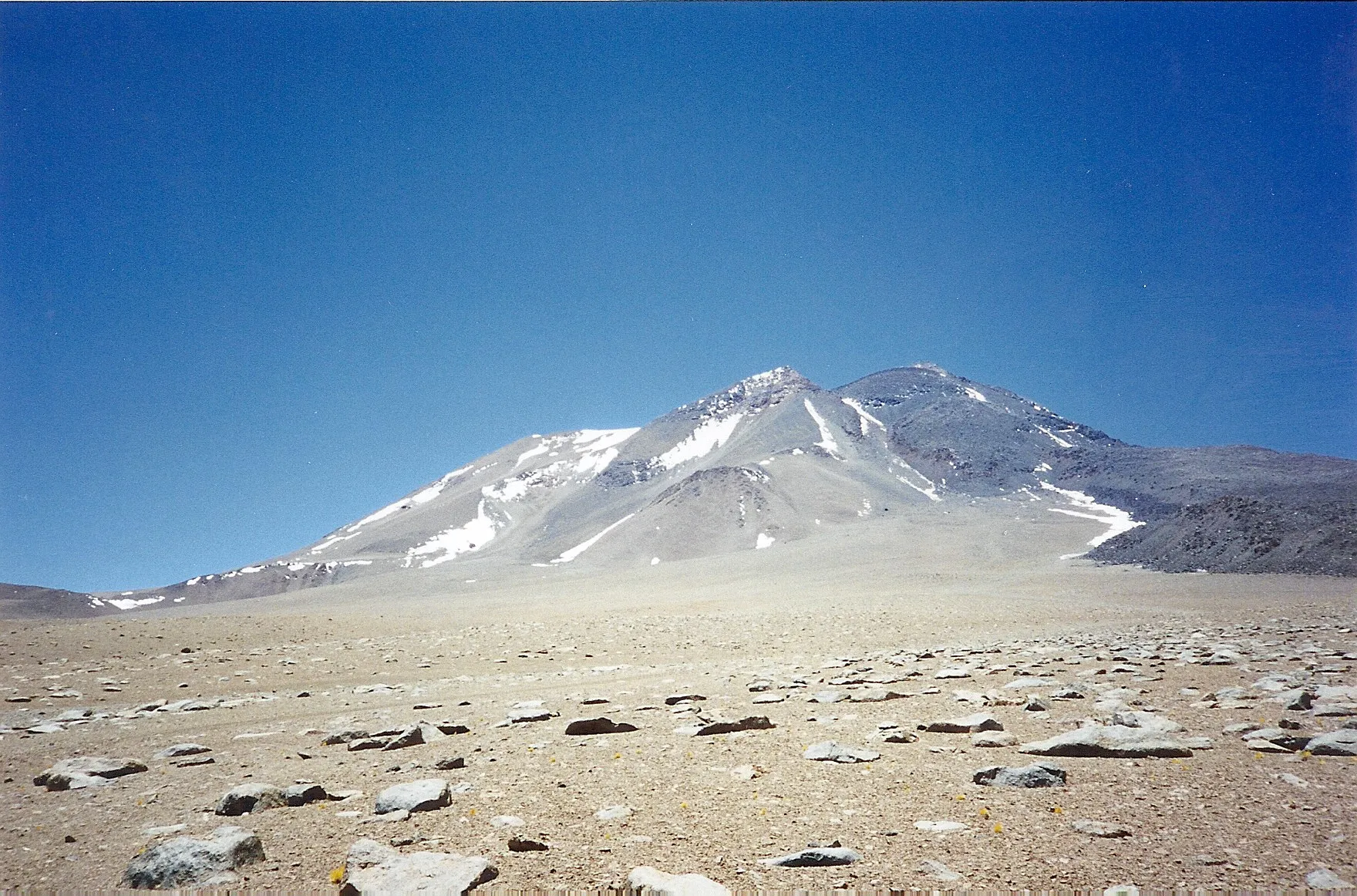
A 6,739-metre volcano where three frozen Inca children were found on the summit.
Photo: Alex1jas / CC BY-SA 4.0, via Wikimedia Commons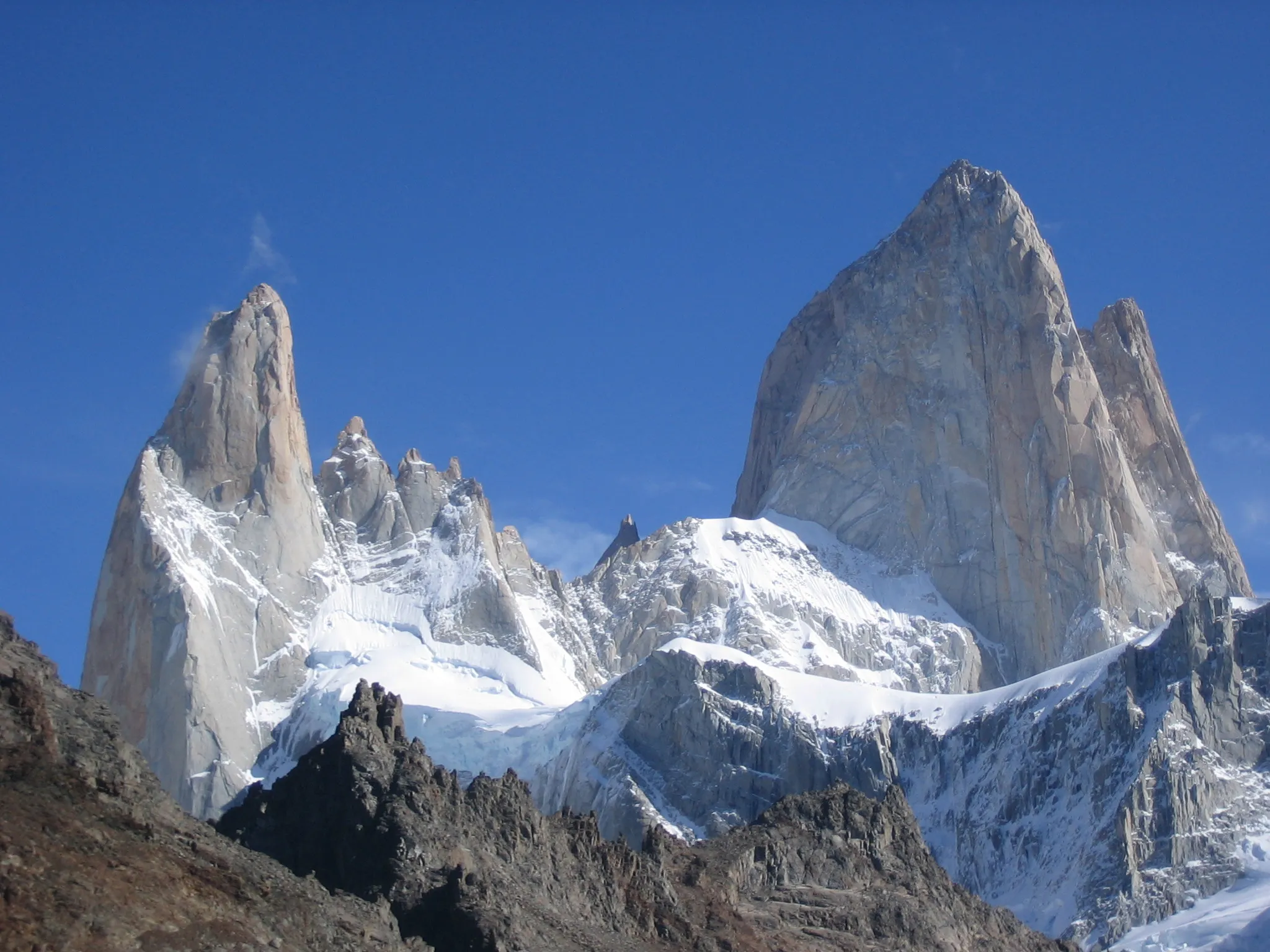
A granite tower in Patagonia whose silhouette is the Patagonia clothing logo.
Photo: Public domain, via Wikimedia Commons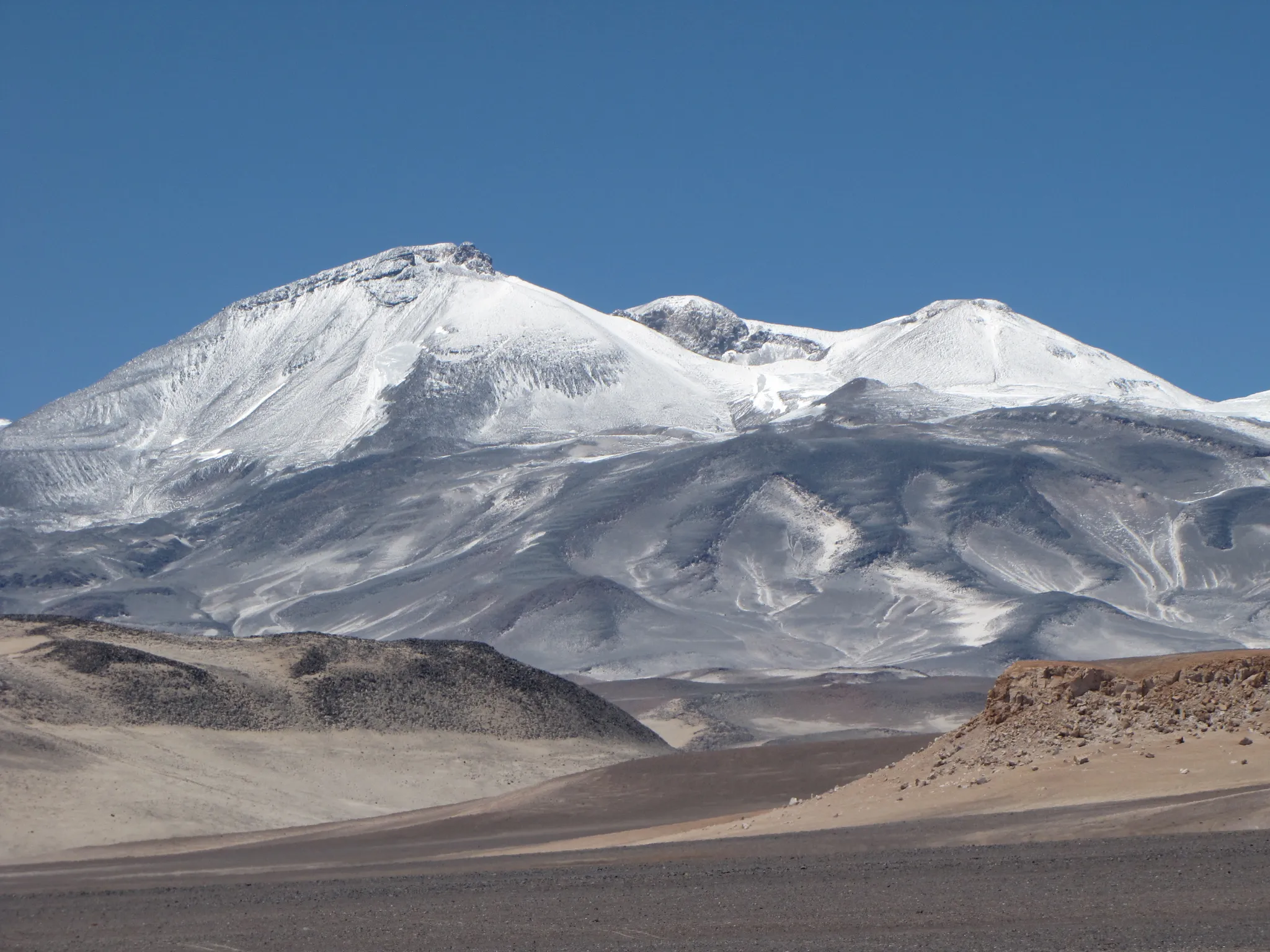
The highest volcano on Earth, 6,893 metres on the Chile–Argentina border.
Photo: sergejf / CC BY-SA 2.0, via Wikimedia Commons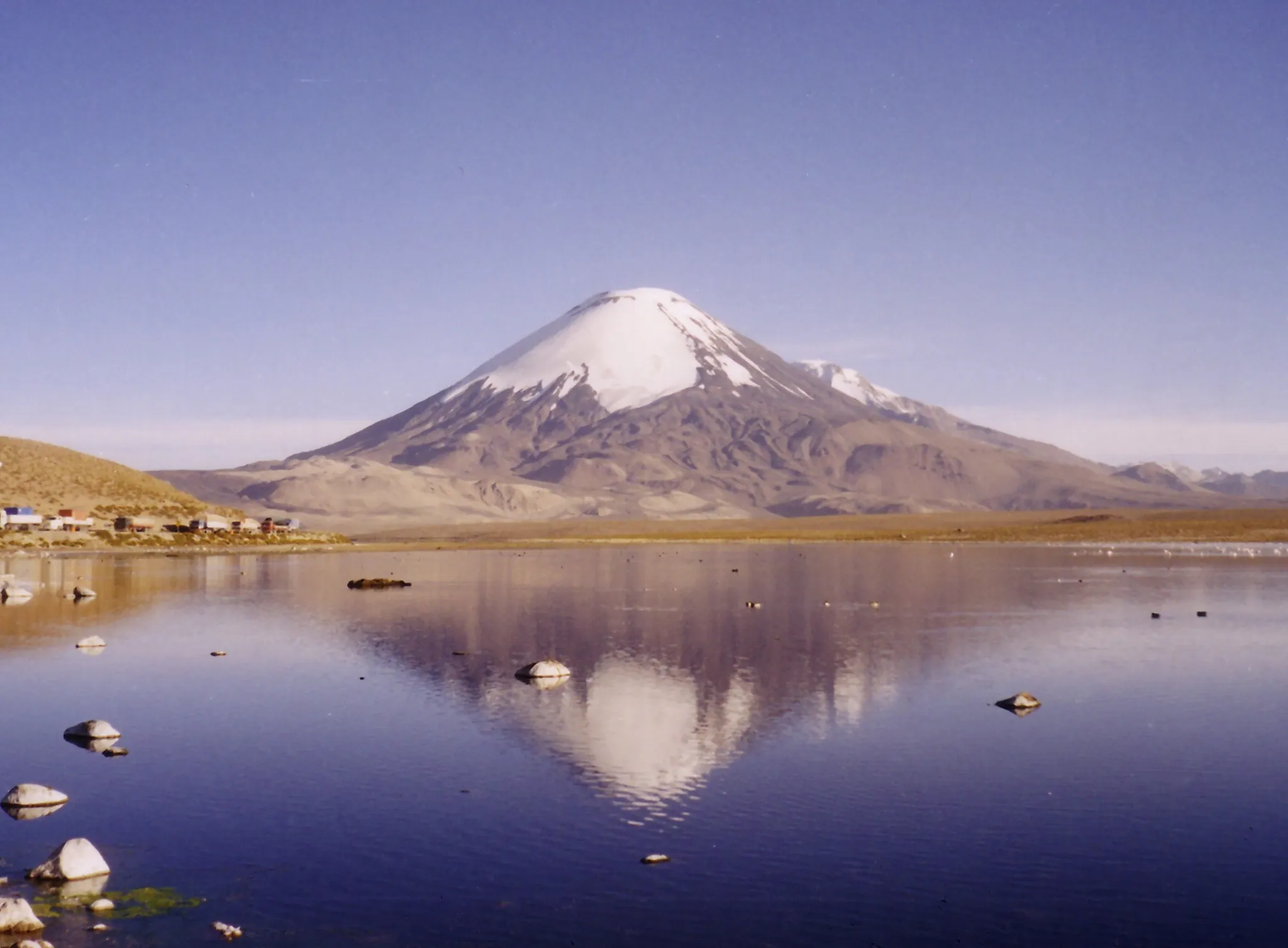
A perfect 6,348-metre volcanic cone mirrored in Lake Chungará.
Photo: Gerd Breitenbach / CC BY-SA 3.0, via Wikimedia Commons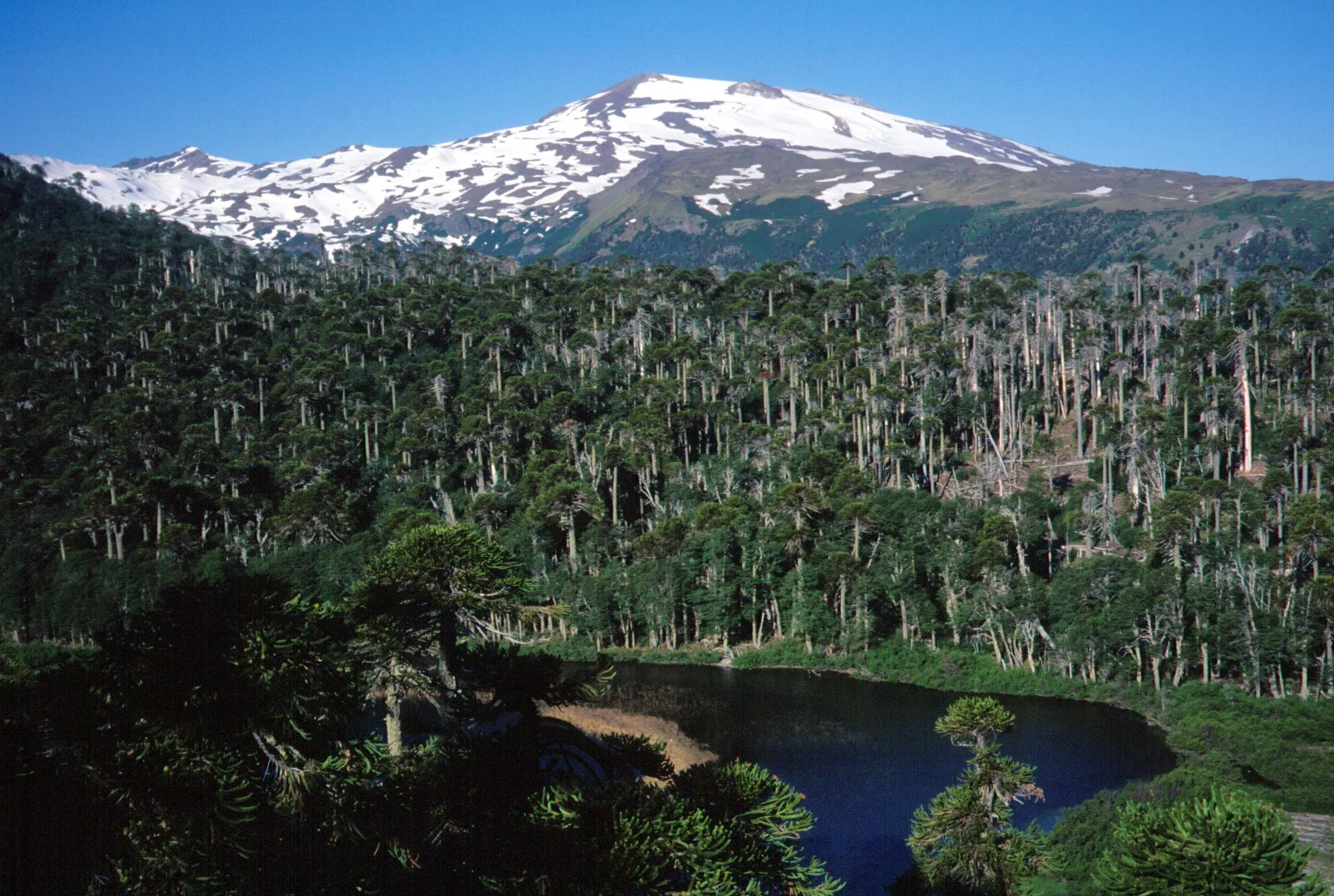
An Andean volcano on the Chile–Argentina border with an acidic crater lake.
Photo: Mono Andes from - / CC BY 2.0, via Wikimedia Commons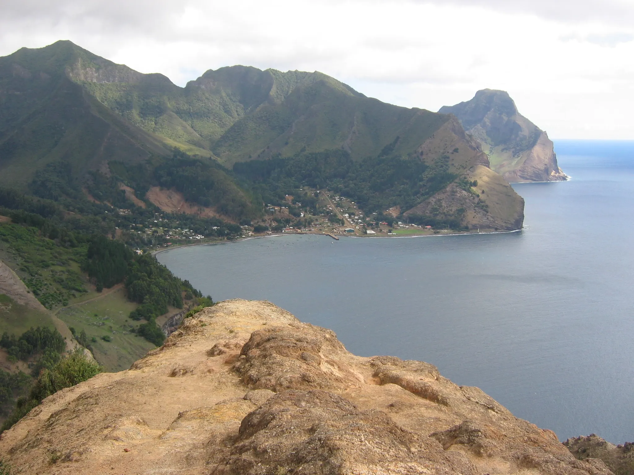
The island where a marooned sailor inspired Robinson Crusoe.
Photo: Serpentus / CC BY-SA 3.0, via Wikimedia Commons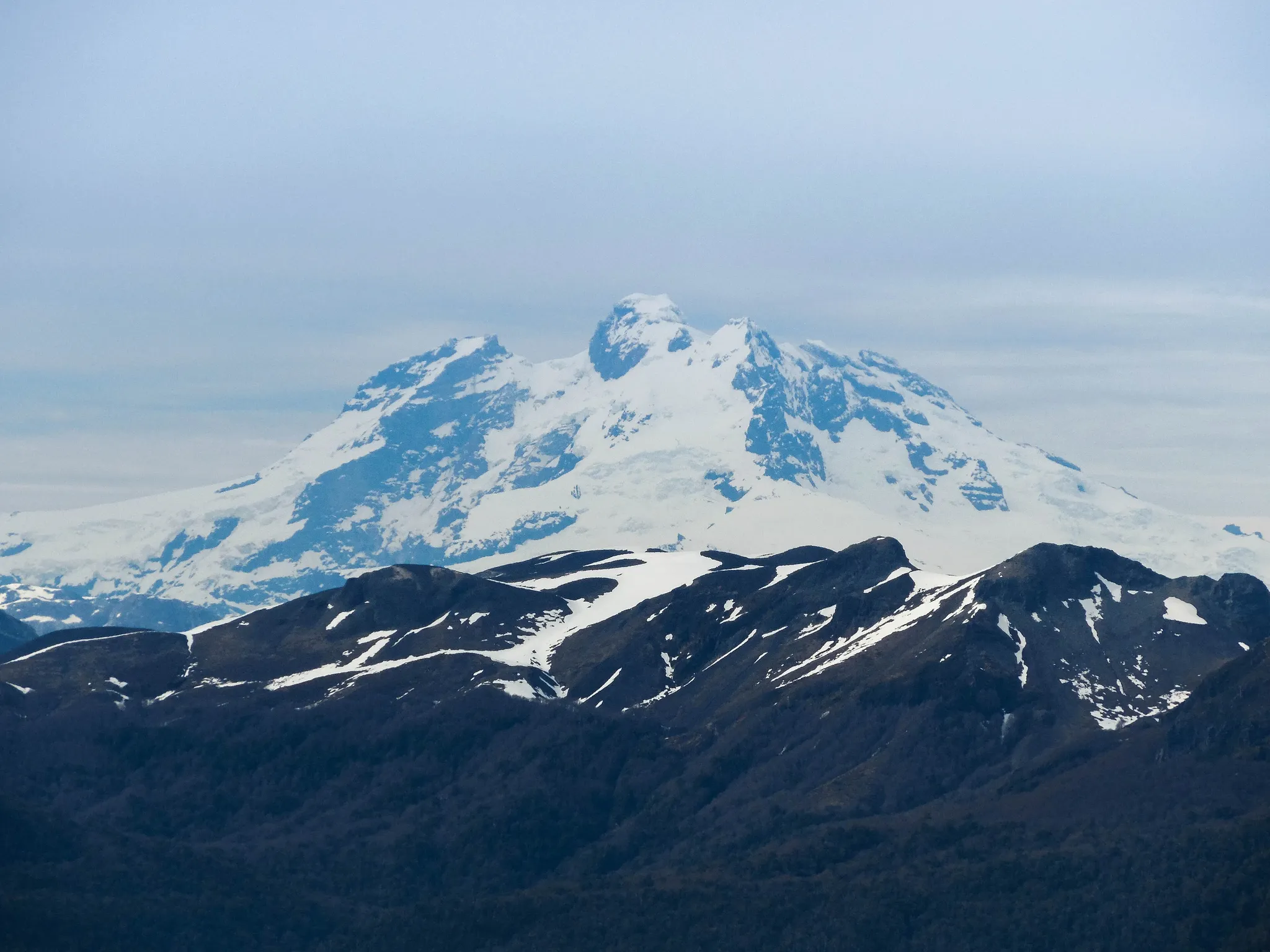
An extinct volcano on the Chile–Argentina border whose glaciers roar like thunder.
Photo: Natalia Reyes Escobar / CC BY-SA 4.0, via Wikimedia Commons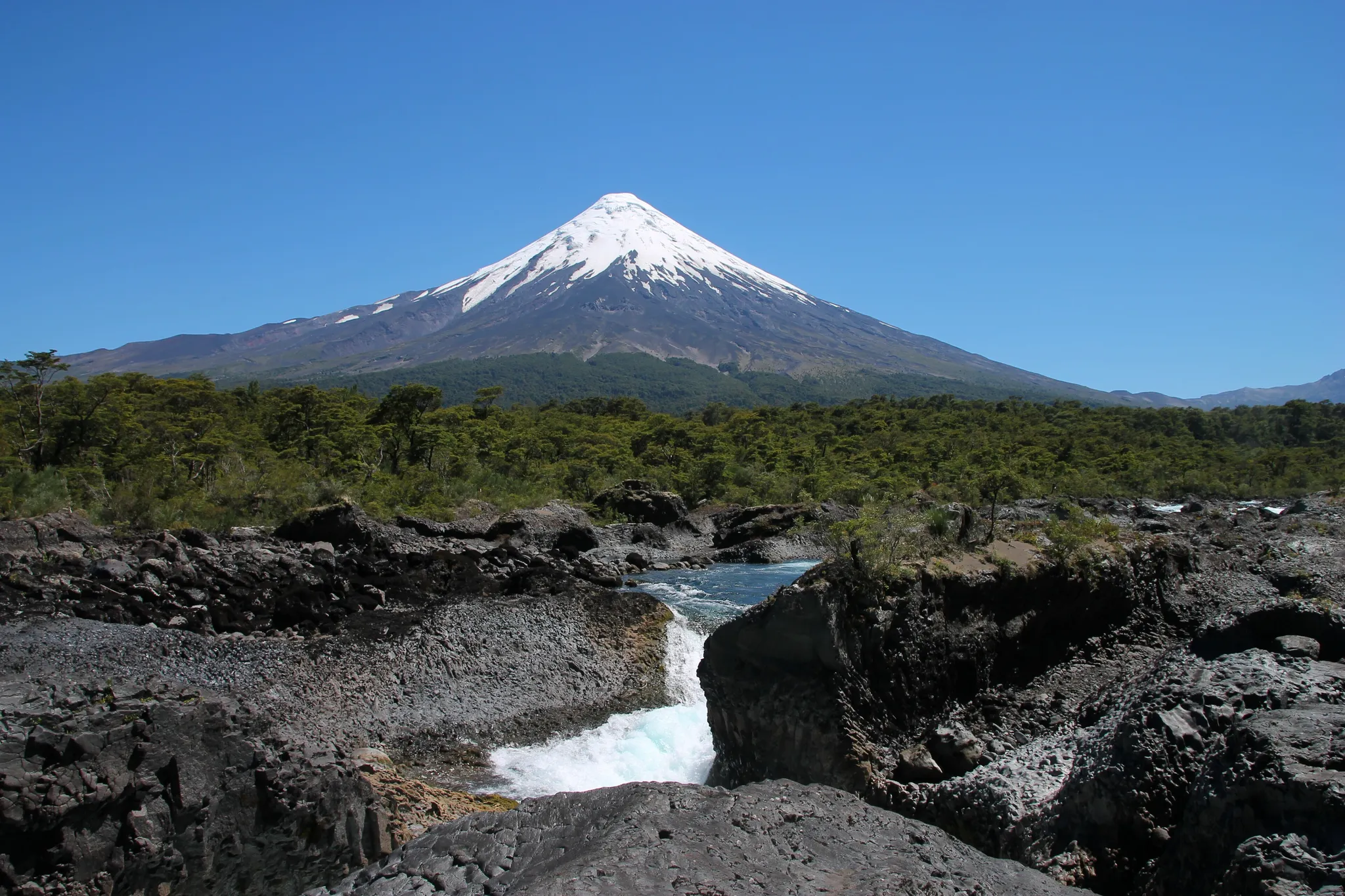
A snow-capped cone so symmetrical it is called the 'Fuji of South America'.
Photo: Draceane / CC BY-SA 4.0, via Wikimedia CommonsHow to place them
Parinacota at the top, Torres del Paine at the bottom, 3,650 km between them: that is the reach of the 19 mainland places. Calbuco, Tronador and Osorno: three places near the middle, none more than 120 km from the others. Robinson Crusoe Island is the one that punishes a lazy pin: Cathedral of the Most Holy Conception, the closest other place, is 630 km away. Two places are off the map below and out of the map round: Moai, Easter Island, Rapa Nui National Park.
13 of 21 rated hard, one expert: Chile does not give points away. Relief comes from Ojos del Salado, rated easy. Moai, Easter Island is the expert round. The 150 km radius on Moai, Easter Island means the right region is enough for full points. Parinacota is a perfect 6,348-metre volcanic cone mirrored in Lake Chungará.
Chile is one country. The daily draws from all 167.
Play the daily in the appQuestions & answers
How many Chile photos does the game have?
21. They run from Parinacota down to Torres del Paine, counting two outside the mainland map, and a round takes five at random.
What is the hardest Chile round?
Start with Moai, Easter Island and Marble Caves. Expert photos halve in value with each 277 km of miss.
Where is full marks easiest in Chile?
Moai, Easter Island: 150 km of leeway, the most generous circle on this page.