Photo location game · Europe
Croatia landmarks quiz: guess where 19 photos were taken
19 photos from Croatia and where each one was taken. A round is five photos, and all 19 are listed below.
★ 4.7 on Google Play· 60 ratings· 1000+ downloads· Free
You see a photo, then the map. Five rounds from Croatia, scored by how far your pin lands from the real spot.
Tap the map where you think this is
Where they are
19 on the mapAll 19 places
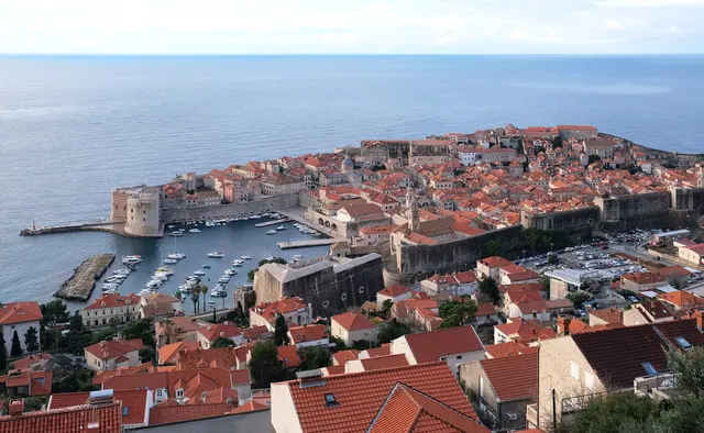
Stone walls wrapping a terracotta-roofed city on the Adriatic.
Photo: kallerna / CC BY-SA 4.0, via Wikimedia Commons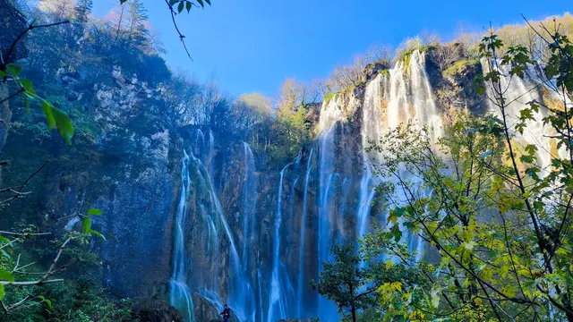
Turquoise terraced lakes linked by tumbling waterfalls.
Photo: OrionCro / CC BY-SA 4.0, via Wikimedia Commons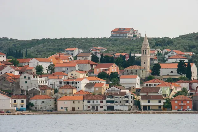
An olive-covered Adriatic island facing the city of Zadar.
Photo: Photograph by Mike Peel (www.mikepeel.net). / CC BY-SA 4.0, via Wikimedia Commons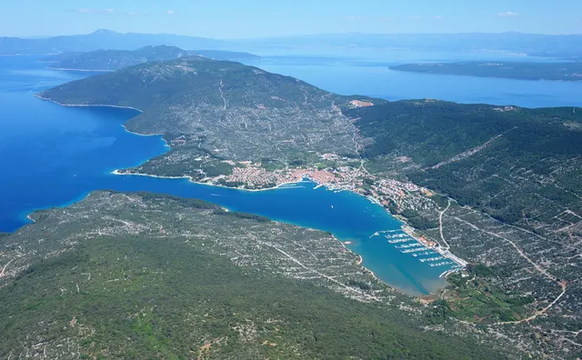
A long Adriatic island of griffon vultures and a freshwater lake.
Photo: Carsten Steger / CC BY-SA 4.0, via Wikimedia Commons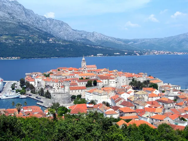
A Dalmatian island whose walled town claims to be Marco Polo's birthplace.
Photo: Unknown author / CC BY-SA 3.0, via Wikimedia Commons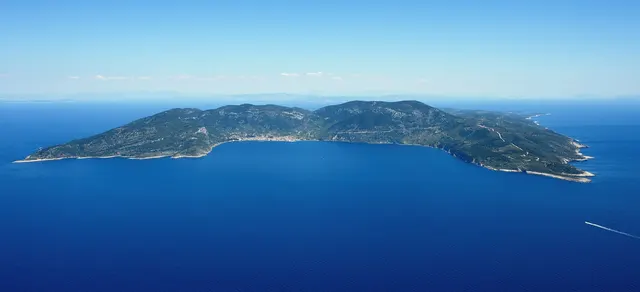
Croatia's outermost inhabited island, closed to foreigners until 1989.
Photo: Carsten Steger / CC BY-SA 4.0, via Wikimedia Commons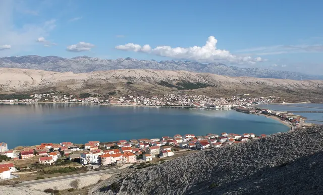
A bare Adriatic island of salt pans, lace and sheep's cheese.
Photo: Palauenc05 / CC BY-SA 4.0, via Wikimedia Commons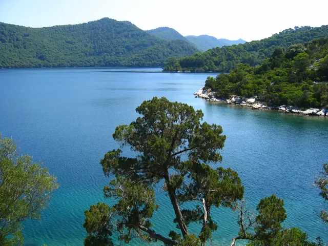
A forested Adriatic island with two salt lakes and a monastery on an islet.
Photo: Public domain, via Wikimedia Commons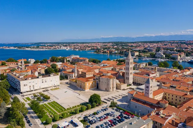
A Roman and Venetian port with a sea organ played by the waves.
Photo: dronepicr / CC BY 2.0, via Wikimedia Commons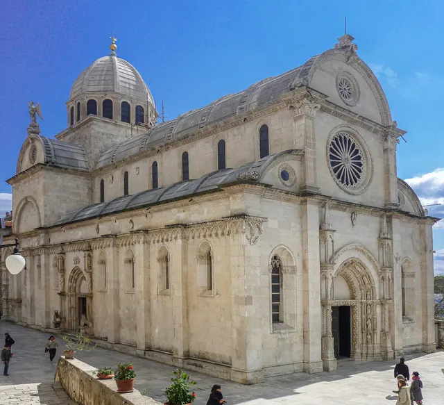
A cathedral built entirely of stone, with 71 carved faces around its walls.
Photo: SchiDD / CC BY-SA 4.0, via Wikimedia Commons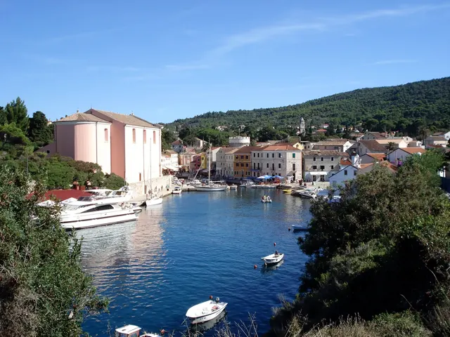
An Adriatic island of pine forests and a historic harbour town, famed for its clean air.
Photo: Daniel Niederl / CC BY-SA 2.5, via Wikimedia Commons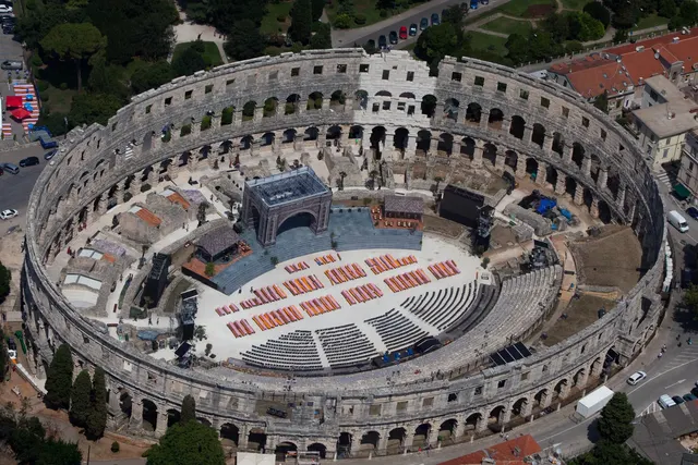
One of the six largest Roman arenas, with all four side towers still standing.
Photo: Jeroen Komen from Utrecht, Netherlands / CC BY-SA 2.0, via Wikimedia Commons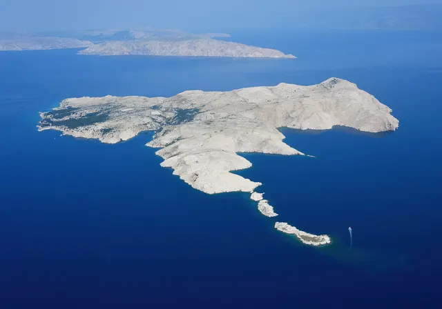
The 'Barren Island', a Yugoslav political prison camp, now abandoned.
Photo: Carsten Steger / CC BY-SA 4.0, via Wikimedia Commons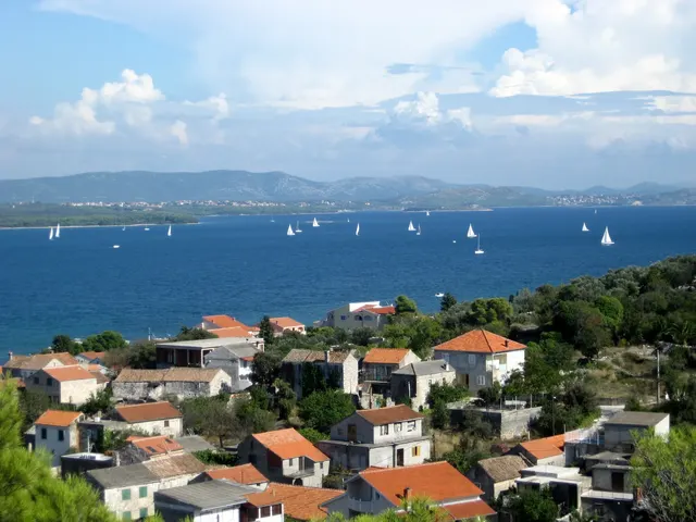
A Croatian island of olive groves, linked to Ugljan by a bridge.
Photo: Andres rus / CC BY-SA 3.0, via Wikimedia Commons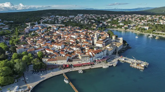
Croatia's largest island, linked to the mainland by a bridge, with a Venetian old town.
Photo: Arne Müseler / CC BY-SA 3.0 de, via Wikimedia Commons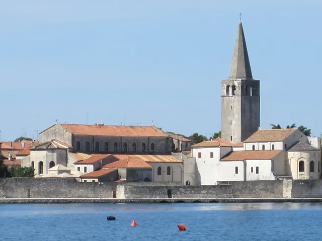
A 6th-century basilica in Poreč with glittering Byzantine mosaics.
Photo: Tiefkuehlfan / CC BY-SA 4.0, via Wikimedia Commons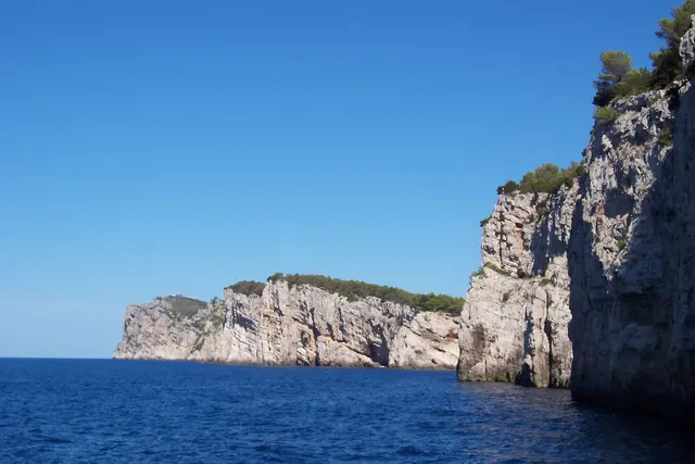
The 'Long Island' of Croatia, with a salt lake and cliffs on its wild southern tip.
Photo: Ivana51 / CC BY-SA 3.0, via Wikimedia Commons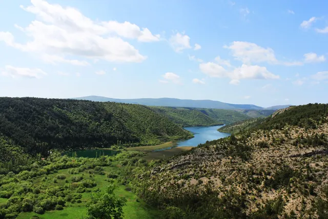
A river of travertine waterfalls near Šibenik. Swimming below the falls has been banned since 2021.
Photo: Matea Bolčević / CC BY-SA 4.0, via Wikimedia Commons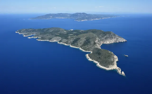
A tiny Adriatic island famous for its Blue Cave, lit from below by the sea.
Photo: Carsten Steger / CC BY-SA 4.0, via Wikimedia CommonsHow to place them
The places here run 460 km from Euphrasian Basilica in the north to Dubrovnik in the south. The busiest part of the map is around Pag, near the middle of the map, with Ugljan, Zadar, Lošinj, Goli otok and Dugi otok within 60 km.
Here the photos are rated two easy, ten medium and seven hard. The hard ones include Ugljan, Zadar and Šibenik Cathedral. The easy ones are Korčula and Krk.
The daily in the app mixes photos from all 167 countries in the game, five a day, the same five for everyone.
Play the dailyQuestions & answers
How many places from Croatia can come up?
There are 19, from Euphrasian Basilica down to Dubrovnik. A round uses five.
Which photo from Croatia is the hardest?
The hard ones include Ugljan, Zadar and Šibenik Cathedral. On any photo the score halves for every 693 km you are outside the accuracy radius.
Which photo from Croatia gives the most room for error?
Several, including Ugljan, Cres and Korčula. They share the widest radius on this page, 60 km, and any pin inside it scores the full 5,000.