Photo location game · Europe
Faroe Islands landmarks quiz: guess where 15 photos were taken
Every Faroe Islands location in the game, 15 in all, with its photo, its fact and its place on the map. The round at the top plays five.
★ 4.7 on Google Play· 60 ratings· 500+ downloads· Free
Five of the 15 places, one at a time. Put a pin where you think the photo is.
Tap the map where you think this is
Where they are
15 on the mapAll 15 places
by id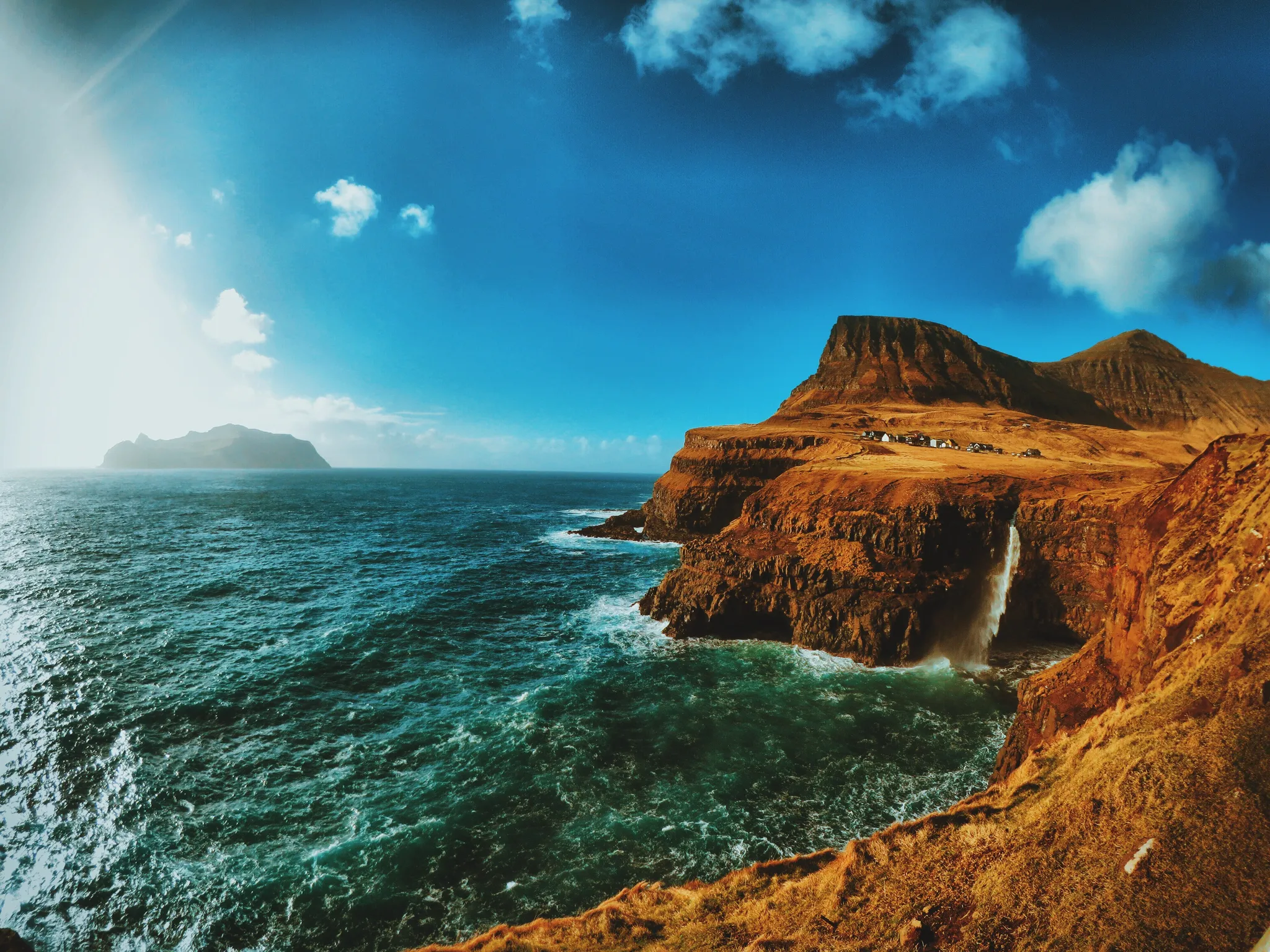
A waterfall plunging to the sea beside a tiny North Atlantic village.
Photo: Felipe Tofani / CC BY-SA 2.0, via Wikimedia Commons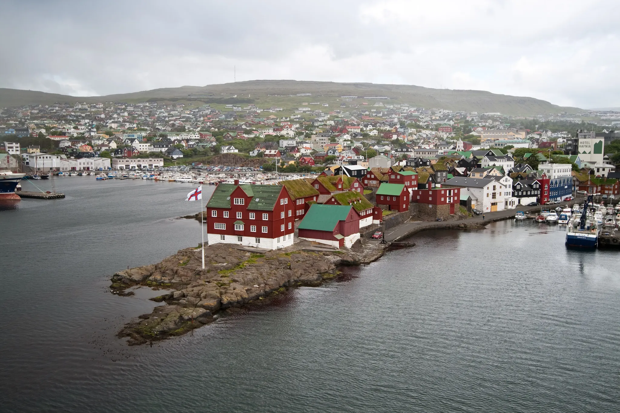
One of the smallest capitals in the world, turf-roofed houses on a Faroe harbour.
Photo: Stig Nygaard from Copenhagen, Denmark / CC BY 2.0, via Wikimedia Commons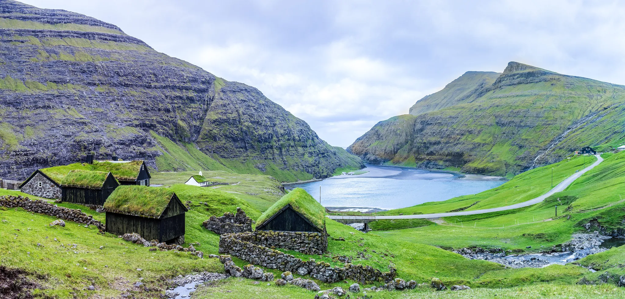
The largest Faroe island, home to the capital Tórshavn and turf-roofed villages.
Photo: MiroRosa / CC BY-SA 4.0, via Wikimedia Commons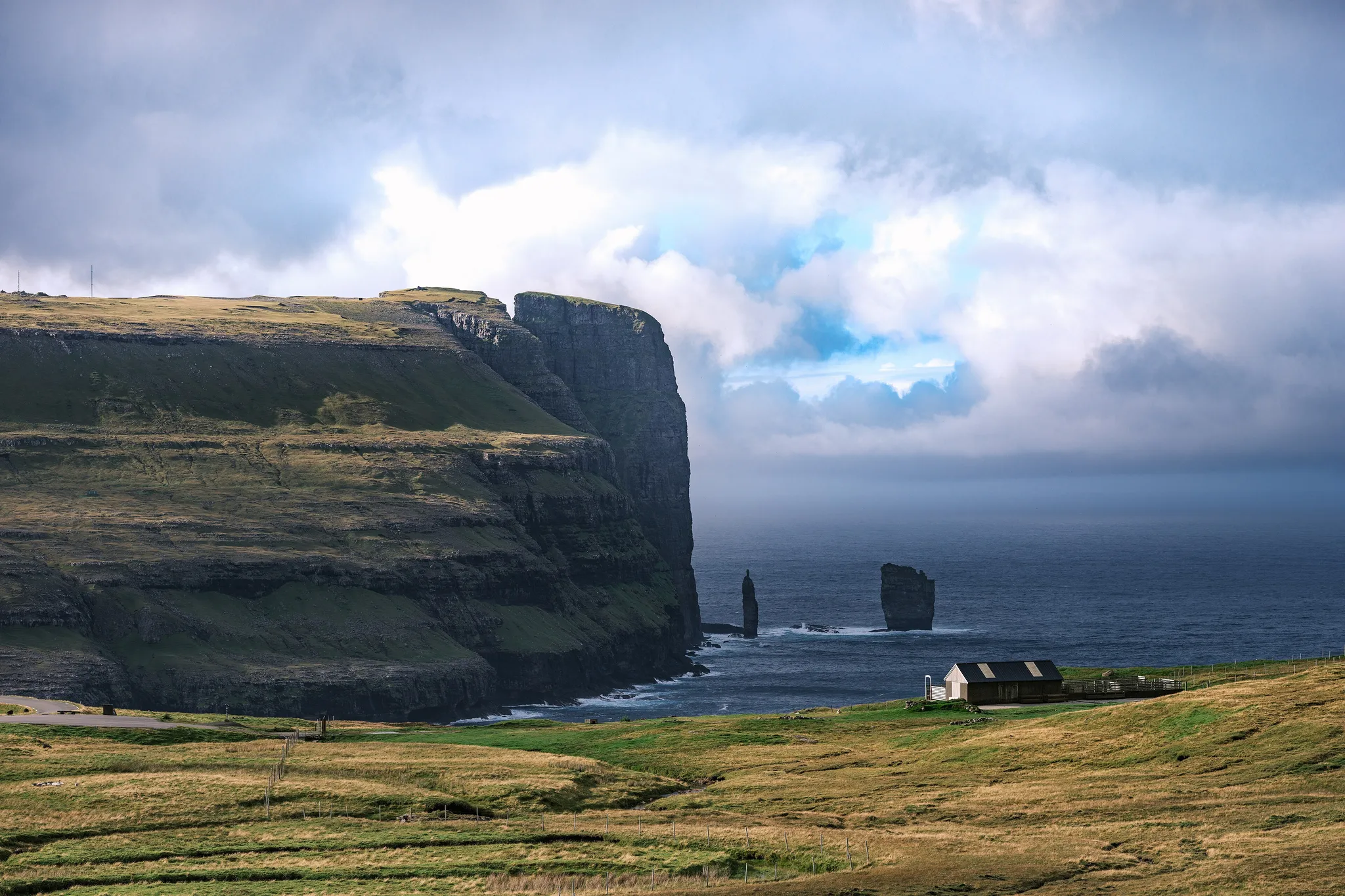
The second largest Faroe island, with the highest peaks and the Risin og Kellingin sea stacks.
Photo: Sanshiro KUBOTA from London, UK / CC BY 2.0, via Wikimedia Commons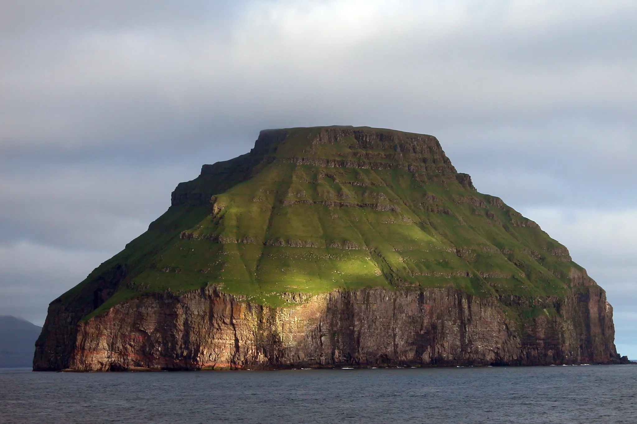
The smallest of the Faroe Islands, an uninhabited rock often capped by a lens of cloud.
Photo: Erik Christensen, Porkeri (Contact at the Danish Wikipedia) / CC BY-SA 3.0, via Wikimedia Commons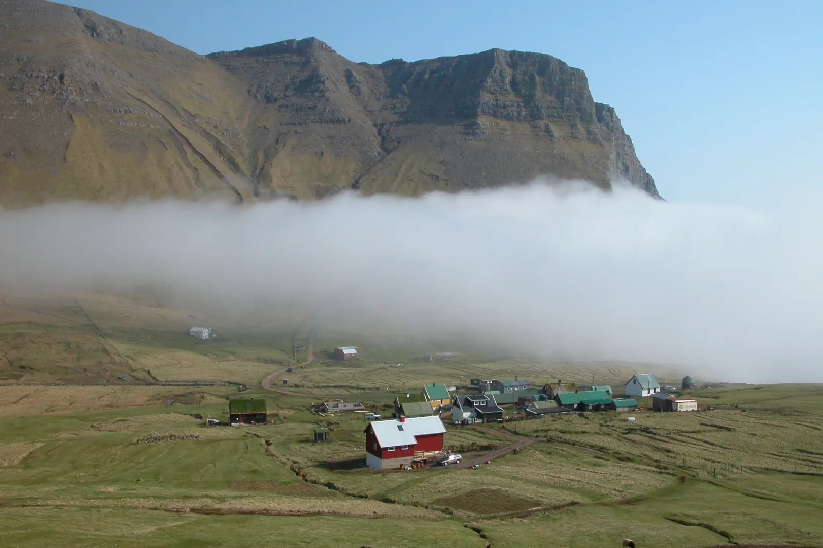
The Faroe island with the airport and the lake that seems to float above the ocean.
Photo: Erik Christensen / CC BY-SA 3.0, via Wikimedia Commons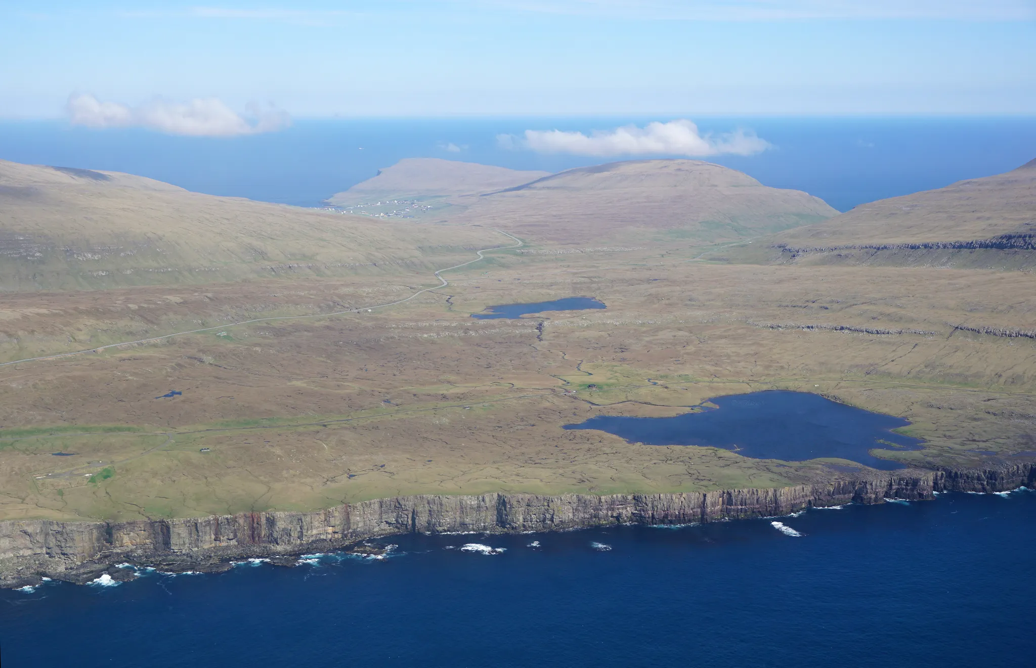
A gentle Faroe island of sand dunes and lakes, reached by tunnel since 2023.
Photo: kallerna / CC BY-SA 4.0, via Wikimedia Commons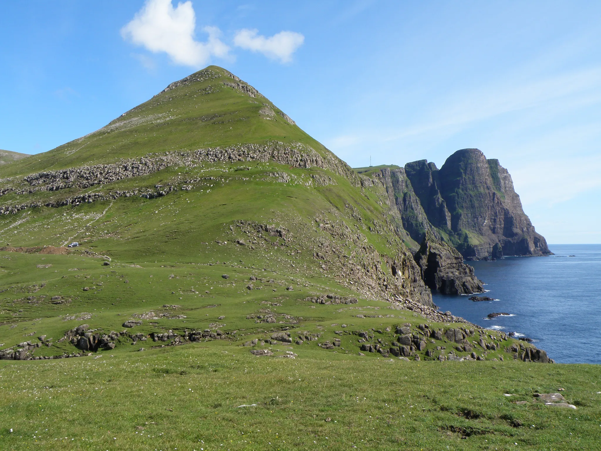
The southernmost Faroe island, with sheer basalt cliffs facing the Atlantic.
Photo: Eileen Sandá / CC BY-SA 3.0, via Wikimedia Commons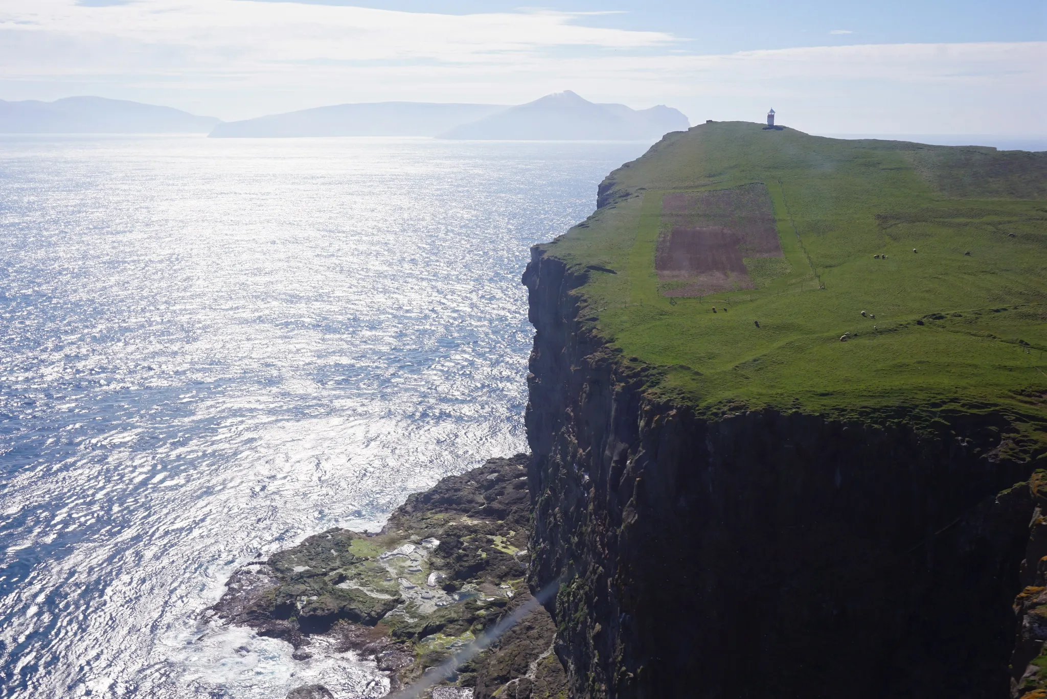
A steep Faroe island farmed by a single family, reached by helicopter.
Photo: kallerna / CC BY-SA 4.0, via Wikimedia Commons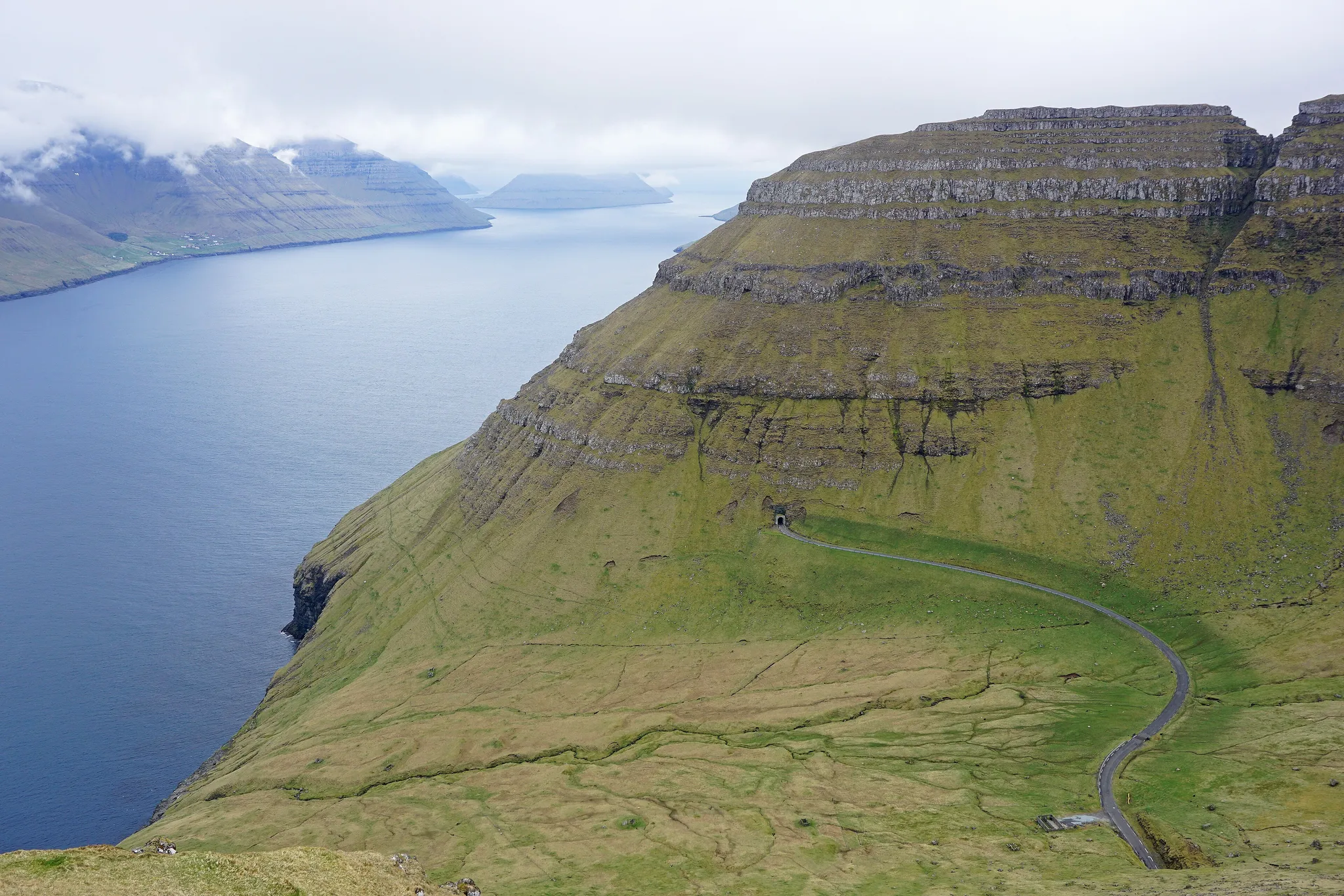
The 'flute' island of the Faroes, with the Kallur lighthouse on its northern cliffs.
Photo: kallerna / CC BY-SA 4.0, via Wikimedia Commons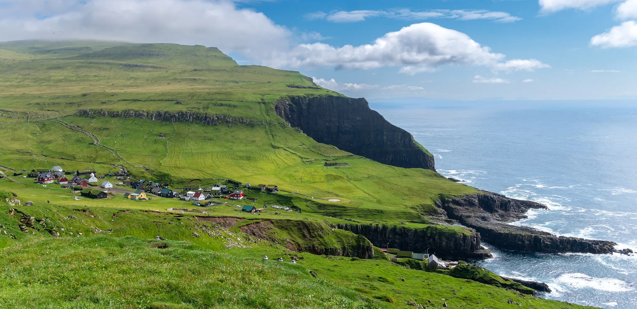
The westernmost Faroe island, famous for its puffin cliffs.
Photo: Ekrem Canli / CC BY-SA 4.0, via Wikimedia Commons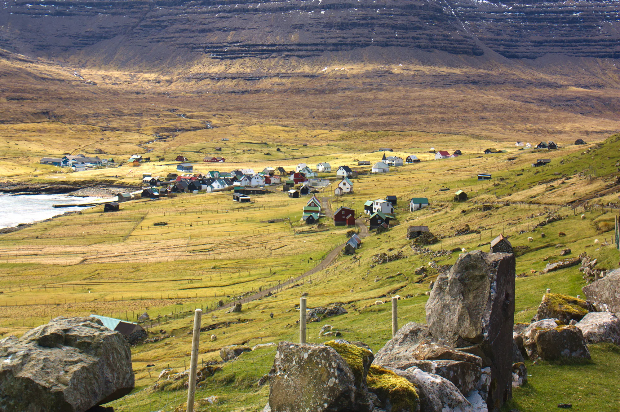
A remote Faroe island of fewer than 30 people, reached only by ferry or helicopter.
Photo: Maciej Brencz / CC BY 2.0, via Wikimedia Commons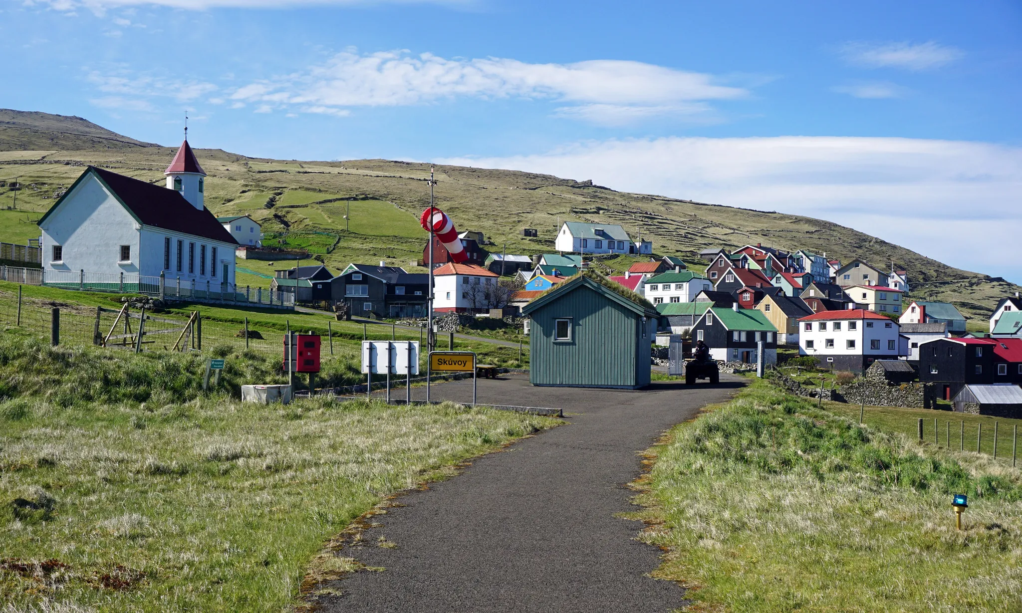
A small Faroe island of some 30 people, named after its skua birds.
Photo: kallerna / CC BY-SA 4.0, via Wikimedia Commons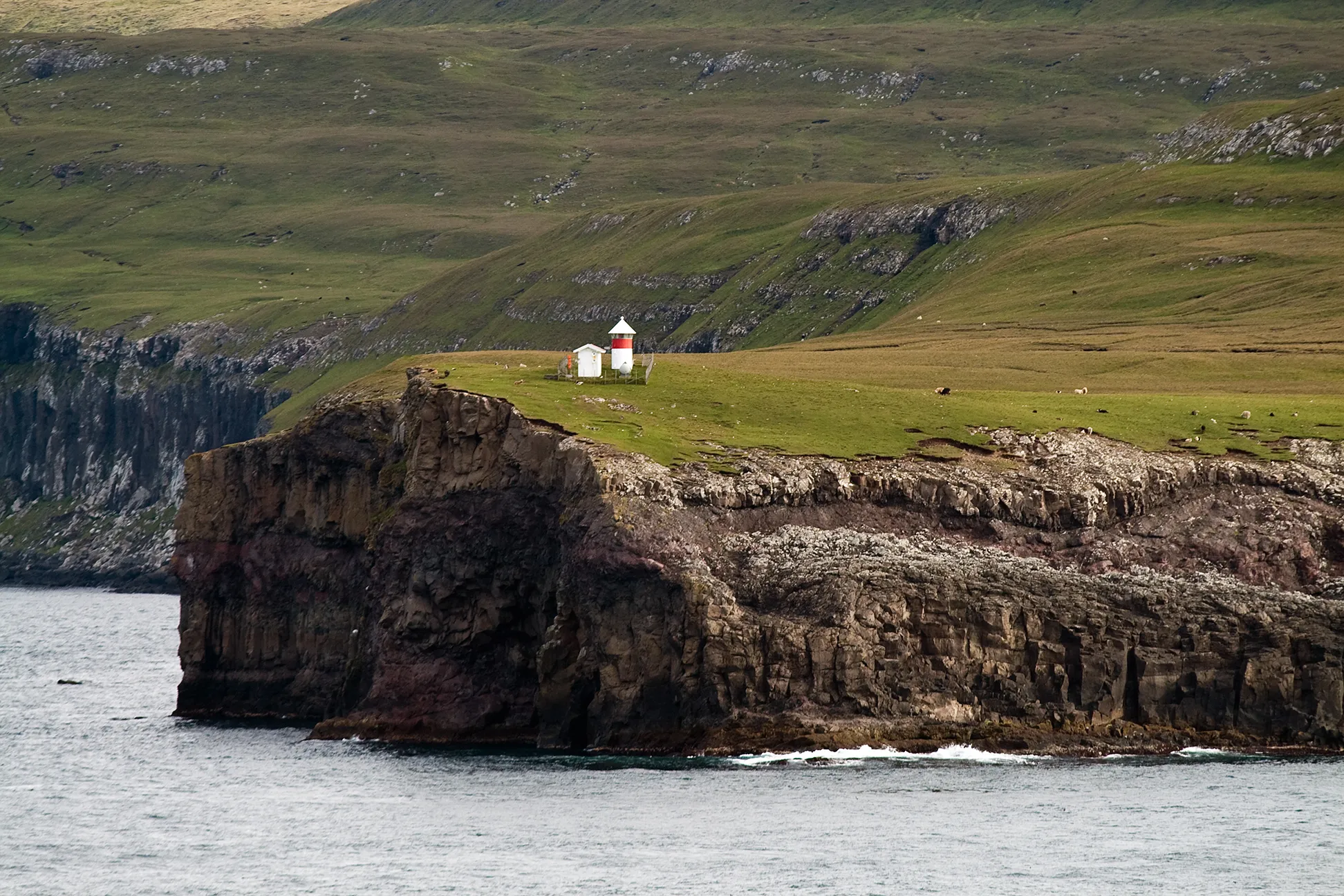
A long thin island sheltering Tórshavn harbour, with one village and many storm petrels.
Photo: Stig Nygaard from Copenhagen, Denmark / CC BY 2.0, via Wikimedia Commons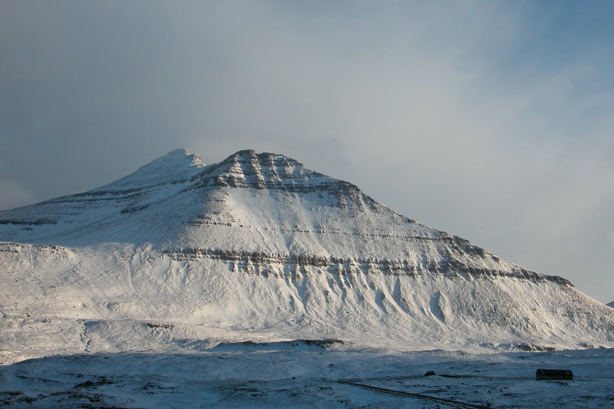
The highest peak of the Faroe Islands, at 880 metres above the Atlantic.
Photo: Erik Christensen, Porkeri (Contact at the Danish Wikipedia) / CC BY-SA 3.0, via Wikimedia CommonsHow to place them
Faroe Islands' 15 places all sit inside 85 km. Aim for the middle and the accuracy radius does the rest. The north is the crowded corner: Gásadalur, Tórshavn, Streymoy, Eysturoy and four more, all inside 25 km.
Count them: twelve medium, two hard, one expert. Svínoy and Slættaratindur are where to concentrate. The expert photo is Gásadalur: a waterfall plunging to the sea beside a tiny North Atlantic village. For Gásadalur the target is 150 km wide, the biggest in this set. Stóra Dímun is a steep Faroe island farmed by a single family, reached by helicopter.
Faroe Islands is one country. The daily draws from all 167.
Play the daily in the appQuestions & answers
How many Faroe Islands photos does the game have?
15. The northernmost is Slættaratindur, the southernmost Suðuroy; each round on this page picks five.
What is the hardest Faroe Islands round?
Gásadalur is alone at expert; expert photos lose half their points for every 277 km outside the radius.
Where is full marks easiest in Faroe Islands?
Gásadalur, with a 150 km radius. Land anywhere inside it and the round pays 5,000.