Photo location game · Europe
Iceland landmarks quiz: guess where 21 photos were taken
A round of five from Iceland, then all 21 places with their photos, facts and dots on the map.
★ 4.7 on Google Play· 60 ratings· 500+ downloads· Free
Five places from the 21 below, in a random order. Your pin against the real spot, five times.
Tap the map where you think this is
Where they are
21 on the mapAll 21 places
by id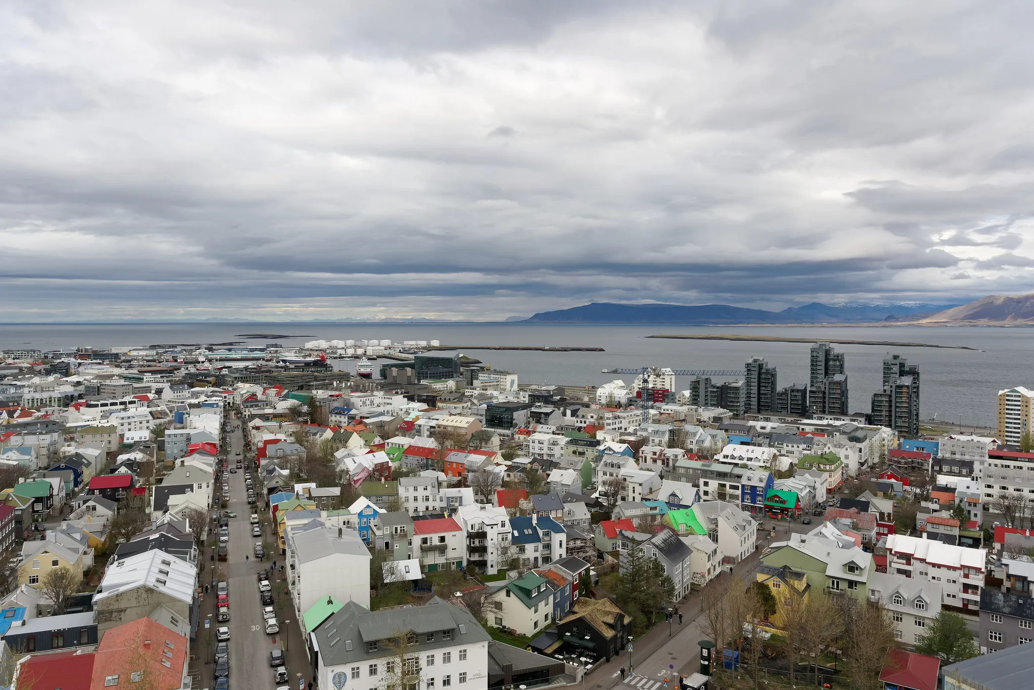
The world's northernmost capital, marked by Hallgrímskirkja church.
Photo: Jakub Hałun / CC BY-SA 4.0, via Wikimedia Commons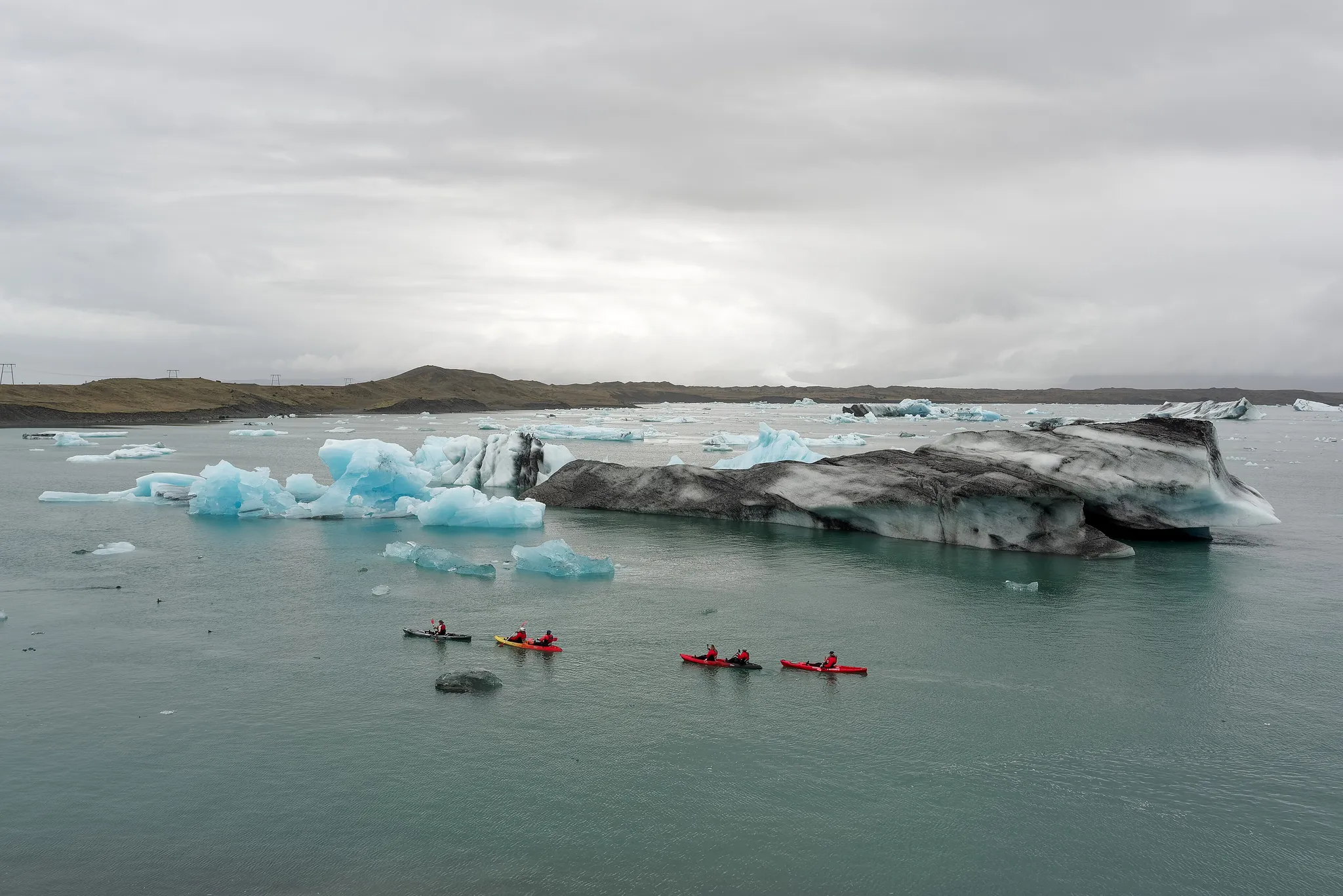
Icebergs drifting in a lagoon at the foot of a glacier.
Photo: Jakub Hałun / CC BY 4.0, via Wikimedia Commons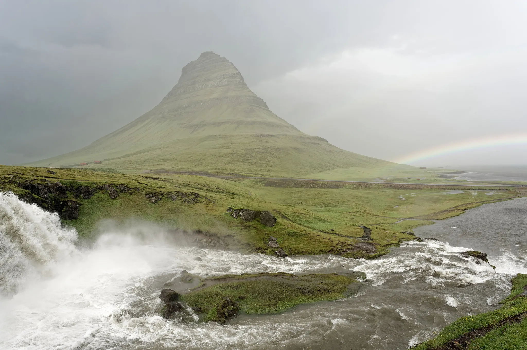
A cone-shaped peak beside a waterfall on a windswept peninsula.
Photo: Jakub Hałun / CC BY 4.0, via Wikimedia Commons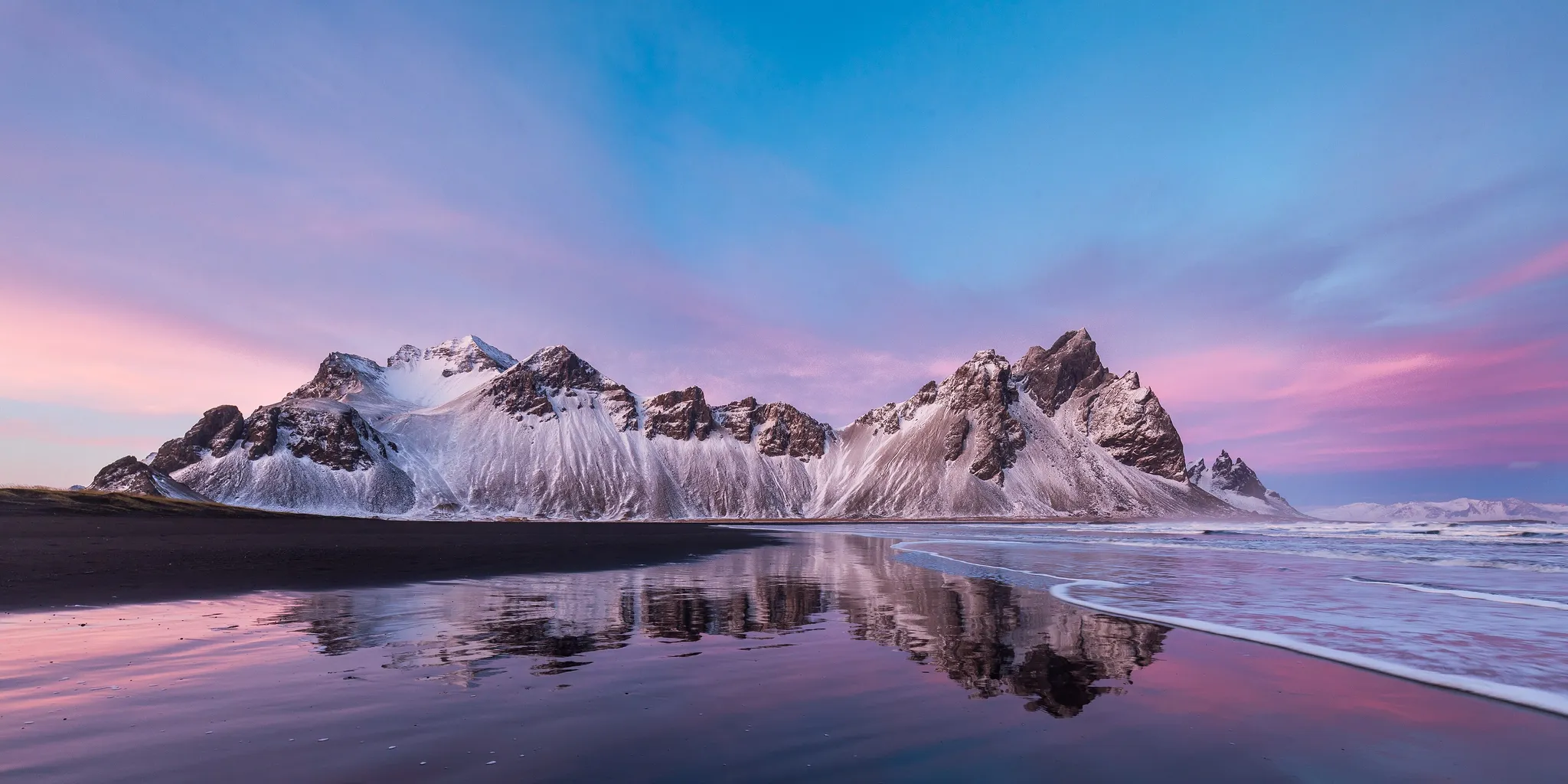
A jagged black massif rising behind a dark-sand lagoon.
Photo: Gérard Cachon / CC BY 2.0, via Wikimedia Commons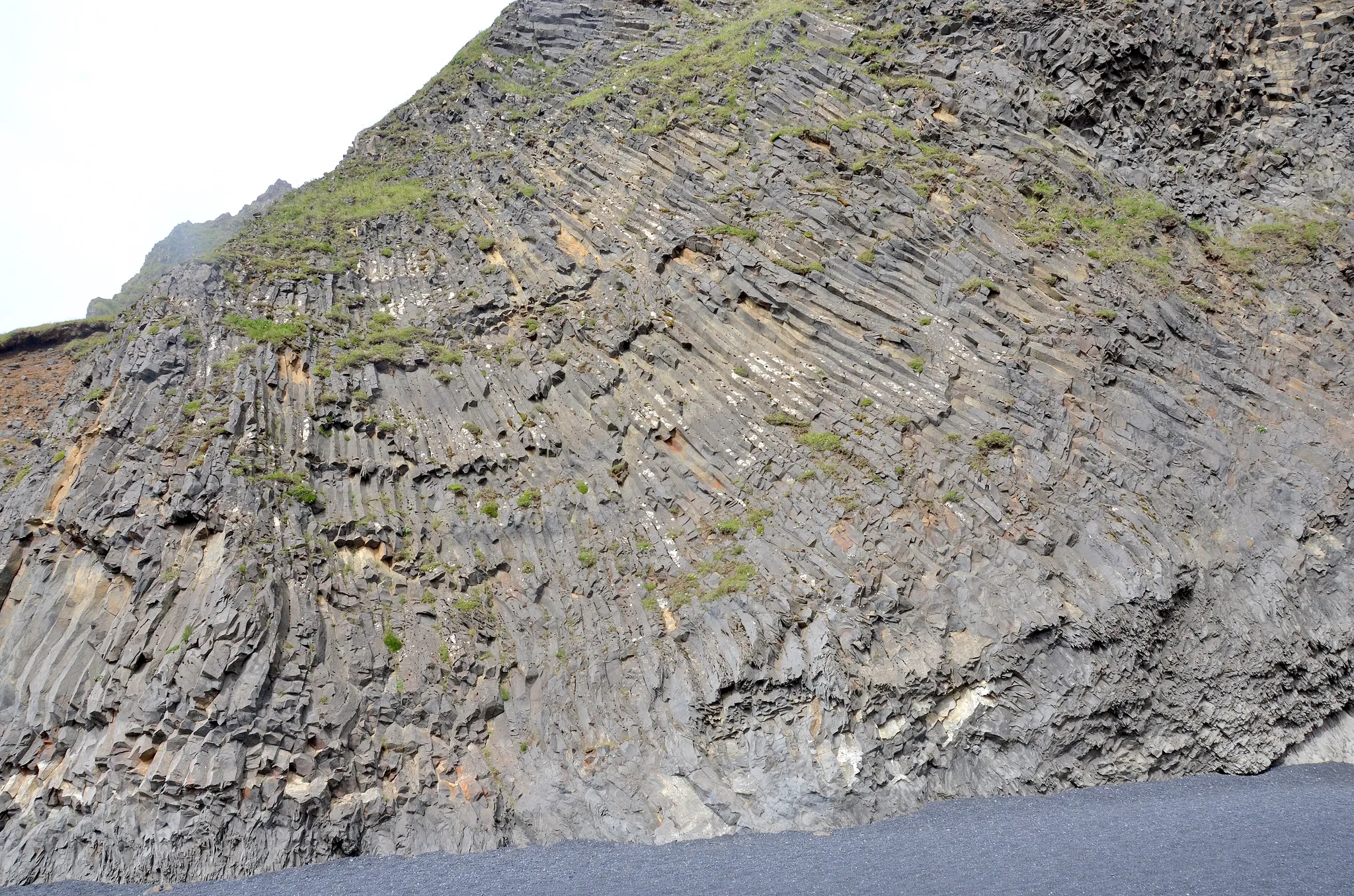
A black-sand beach with basalt columns and sea stacks.
Photo: Olga Ernst / CC BY-SA 4.0, via Wikimedia Commons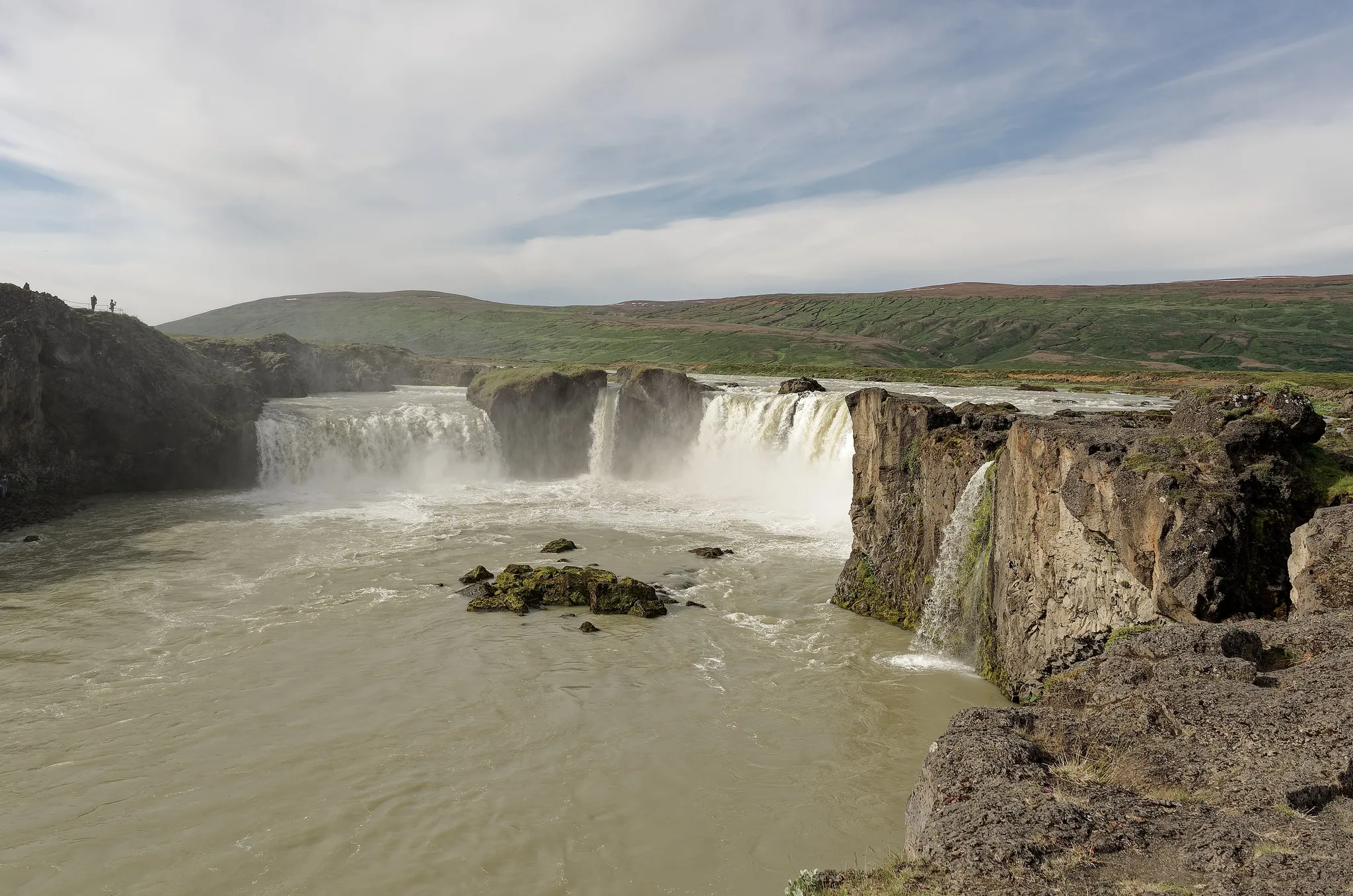
Iceland's second highest peak, a volcano buried under the Vatnajökull ice cap.
Photo: Jakub Hałun / CC BY 4.0, via Wikimedia Commons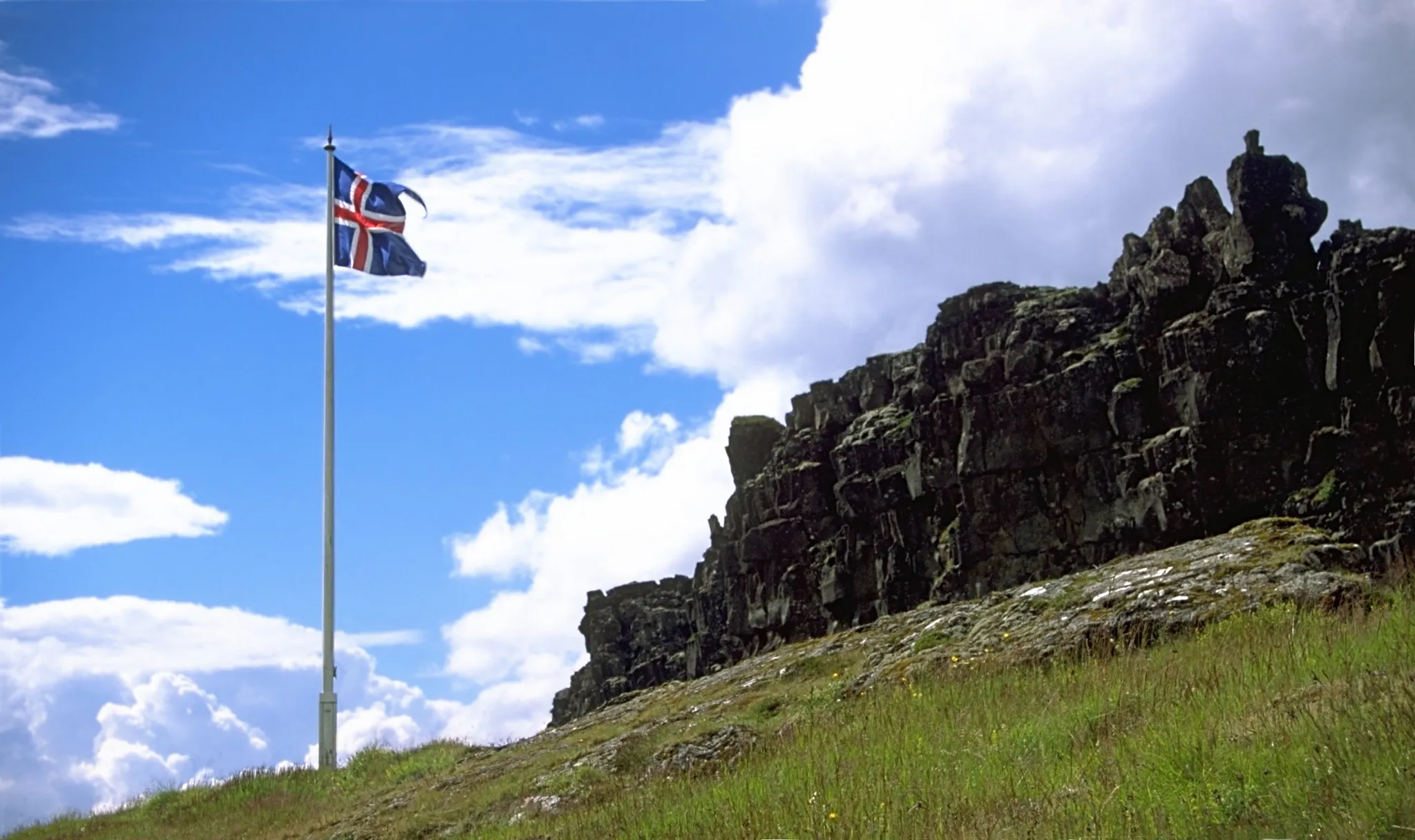
The rift valley where Iceland's parliament first met in the year 930.
Photo: Andreas Tille / CC BY-SA 4.0, via Wikimedia Commons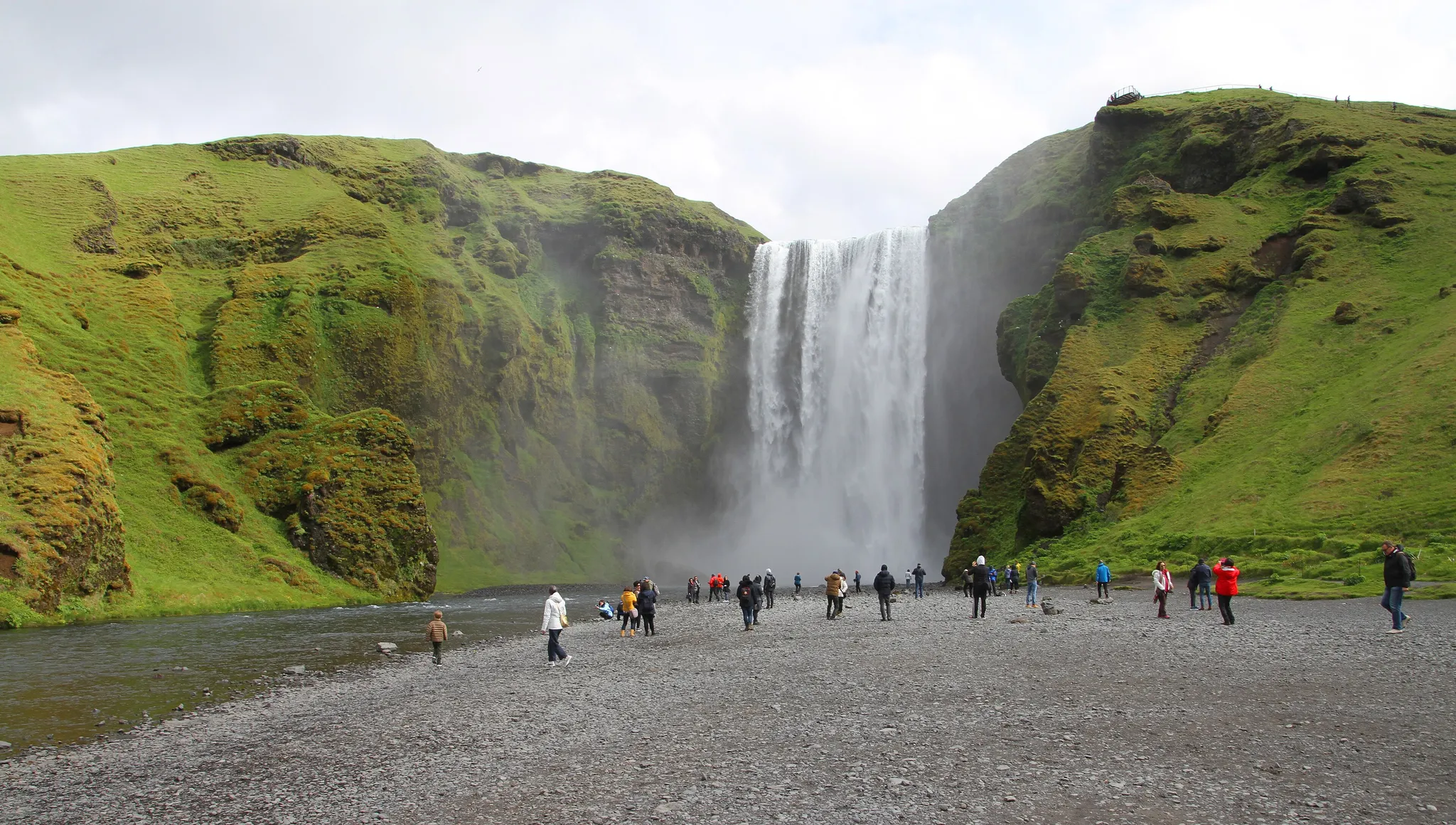
A 60-metre curtain of water on Iceland's south coast, often crowned by a rainbow.
Photo: Gerd Eichmann / CC BY-SA 4.0, via Wikimedia Commons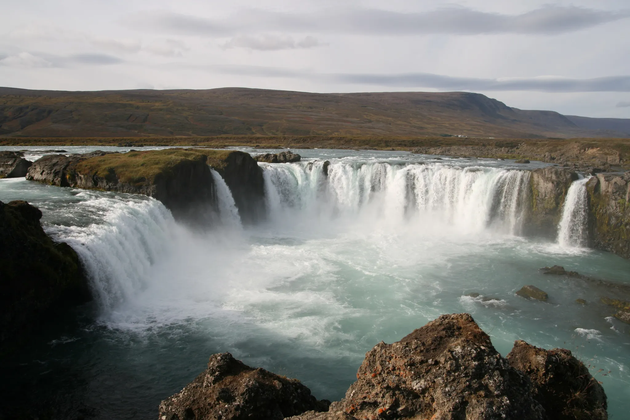
The 'Waterfall of the Gods', where Iceland's pagan idols were thrown in the year 1000.
Photo: Superbass / CC BY-SA 3.0, via Wikimedia Commons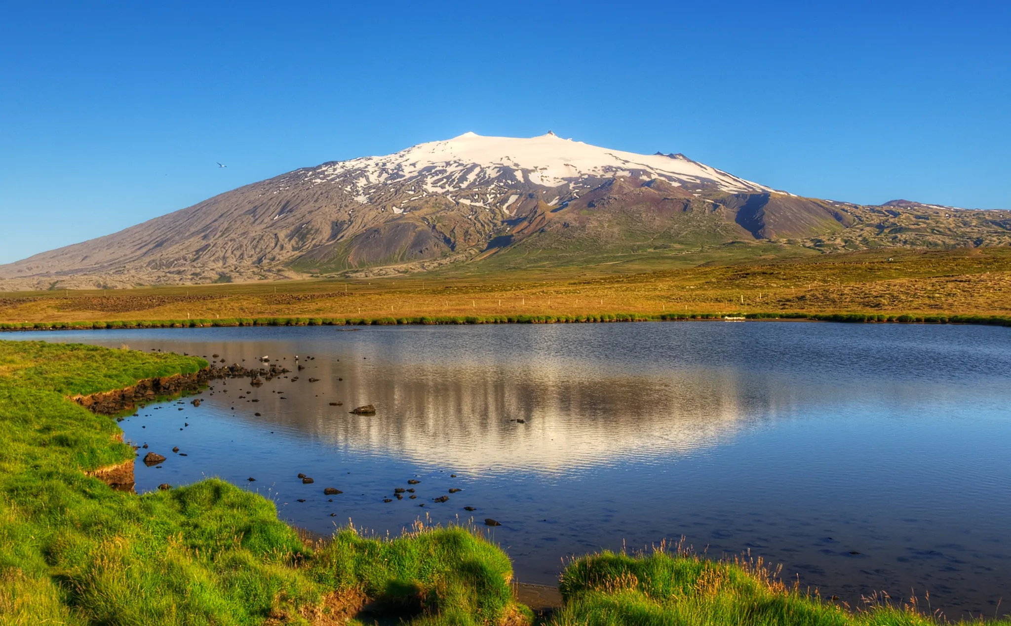
The glacier-capped volcano where Jules Verne began the Journey to the Centre of the Earth.
Photo: Axel Kristinsson from Reykjavík, Iceland / CC BY 2.0, via Wikimedia Commons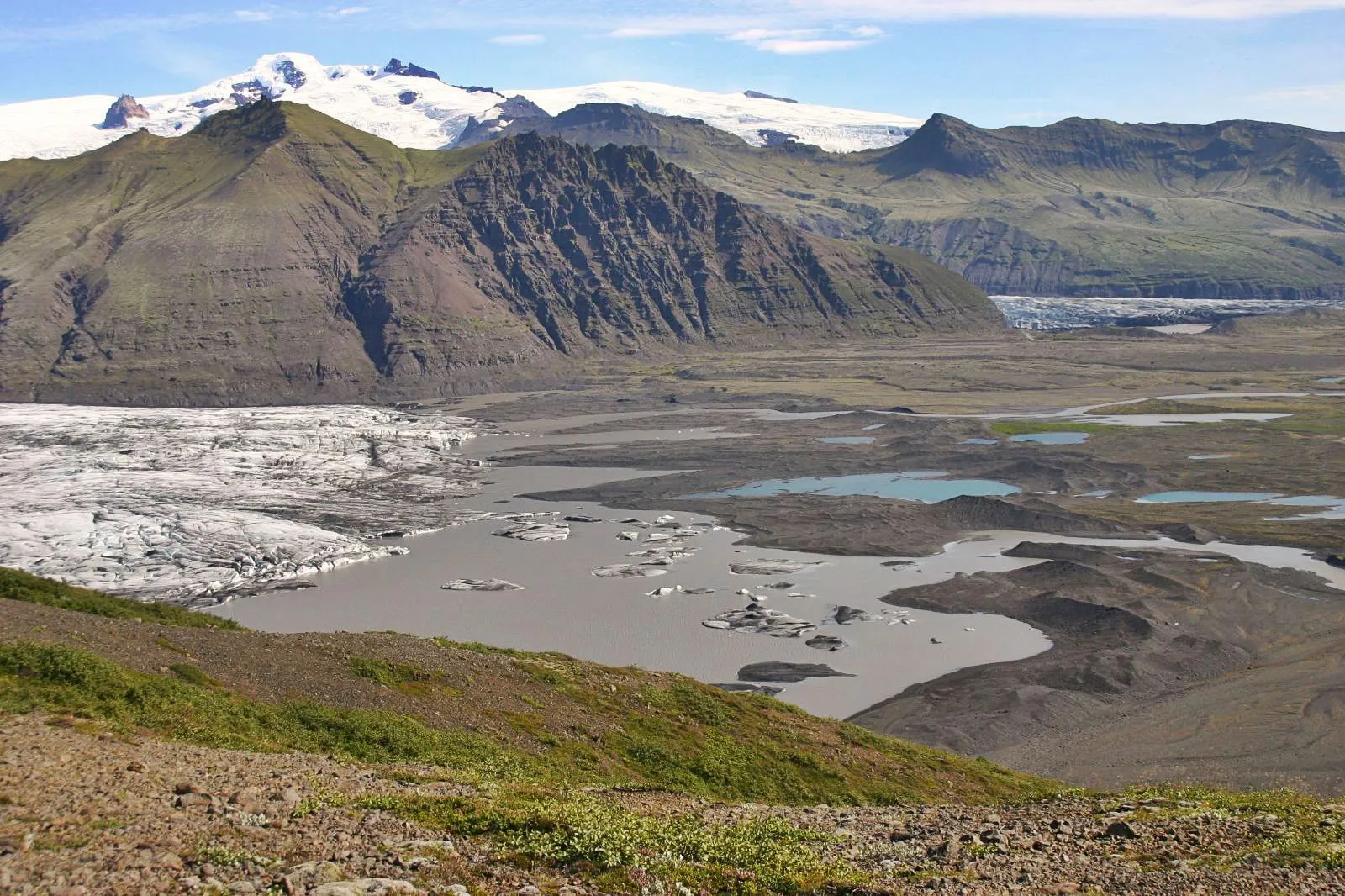
Europe's largest ice cap, with glacier tongues spilling into black volcanic sands.
Photo: Justraveling.com / CC BY-SA 4.0, via Wikimedia Commons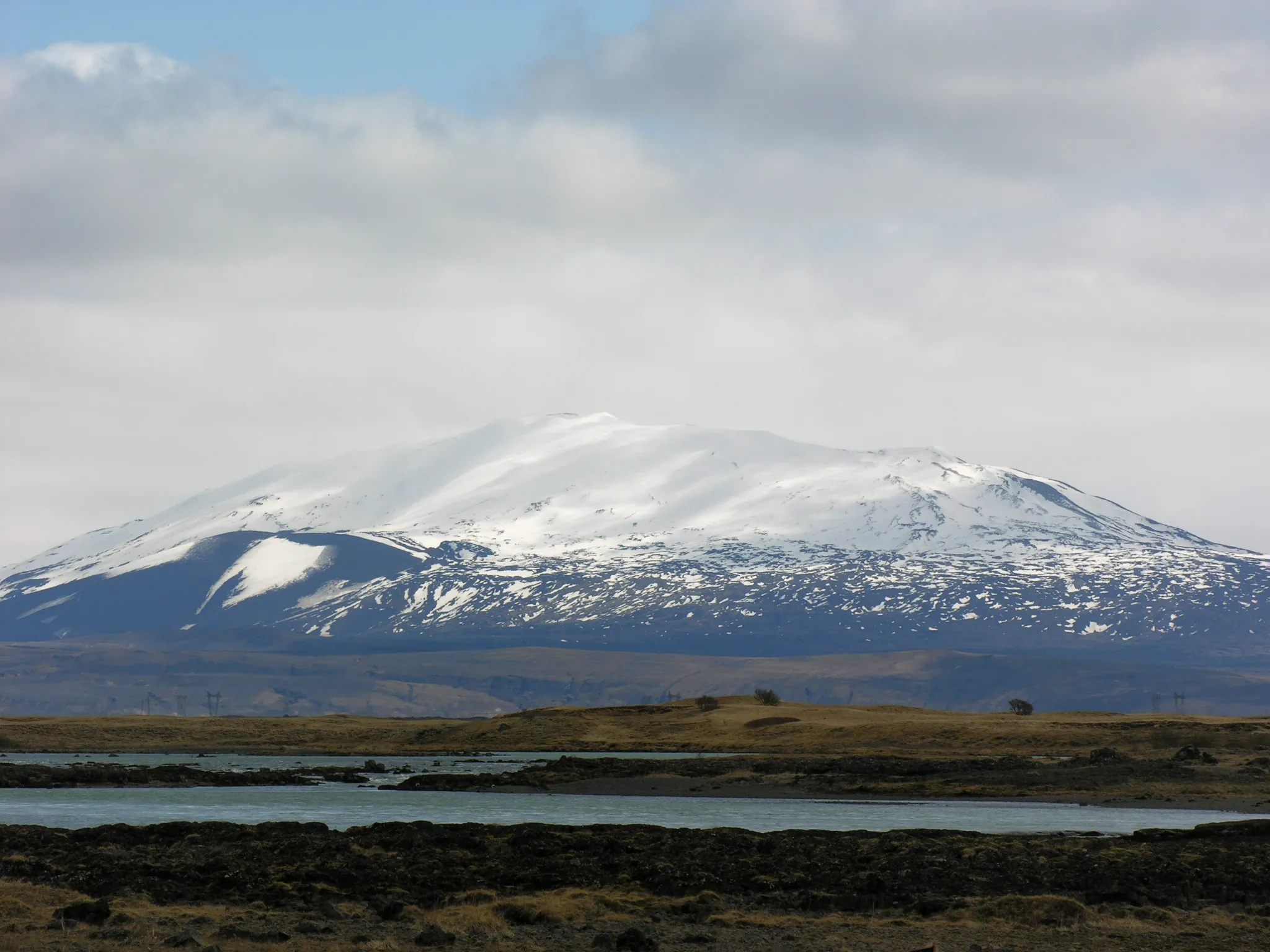
Iceland's most active volcano, once feared as the gateway to hell.
Photo: Hansueli Krapf / CC BY-SA 3.0, via Wikimedia Commons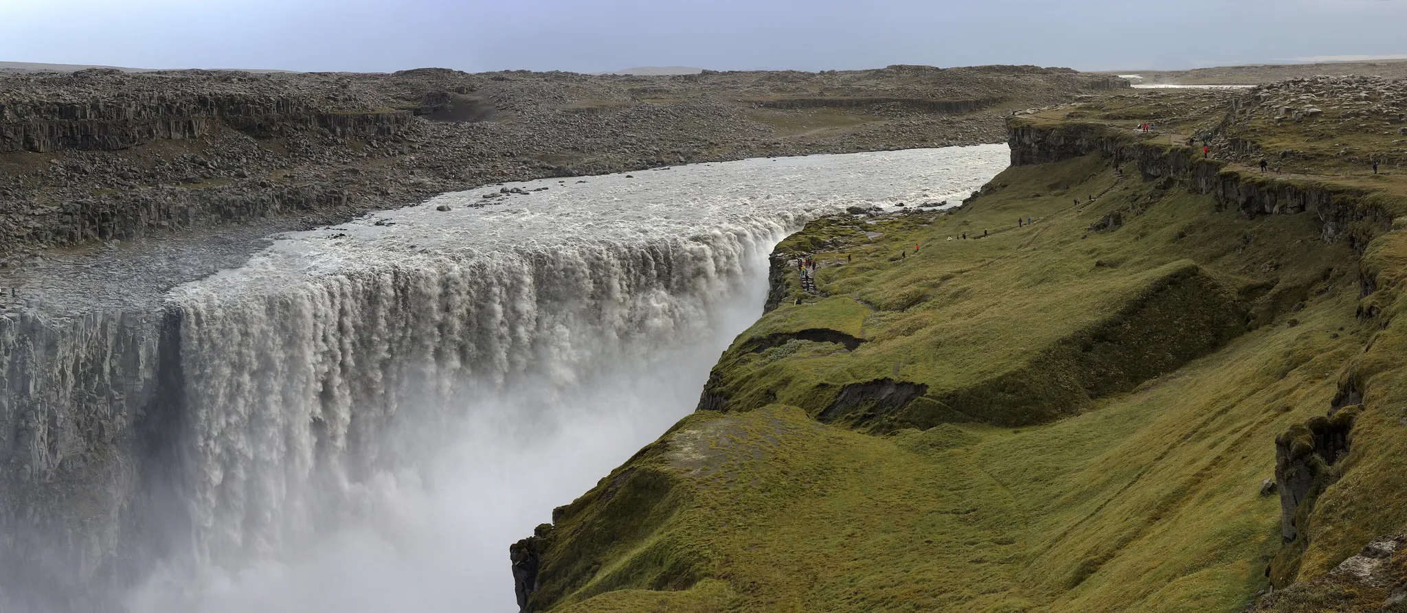
The most powerful waterfall in Europe, 100 metres wide and 44 metres high.
Photo: Spike / CC BY-SA 4.0, via Wikimedia Commons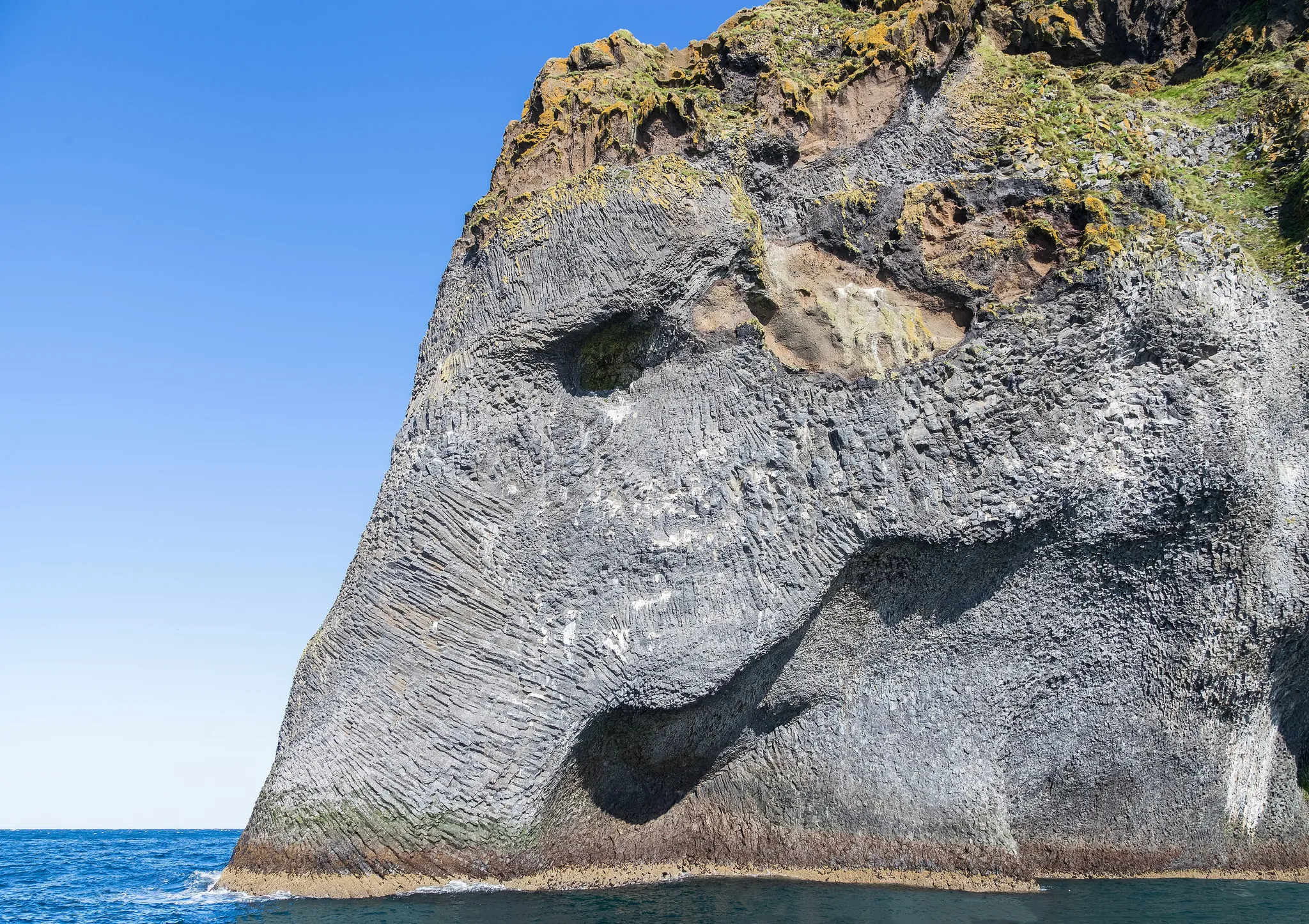
An island half-buried by a 1973 eruption, its harbour saved by spraying seawater on the lava.
Photo: Diego Delso / CC BY-SA 4.0, via Wikimedia Commons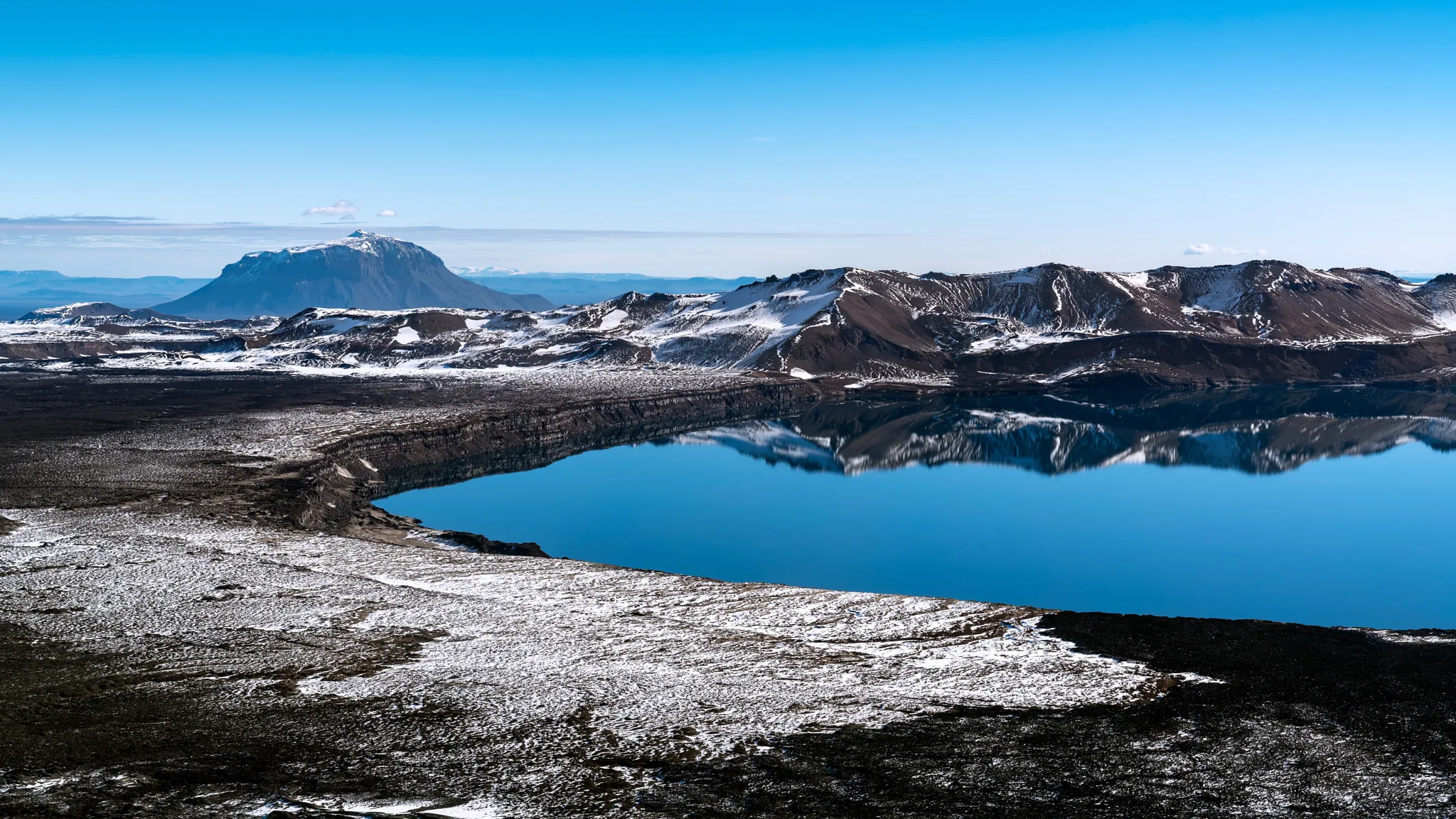
A remote caldera lake in the Icelandic highlands where Apollo astronauts trained.
Photo: Ilya Grigorik / CC BY-SA 3.0, via Wikimedia Commons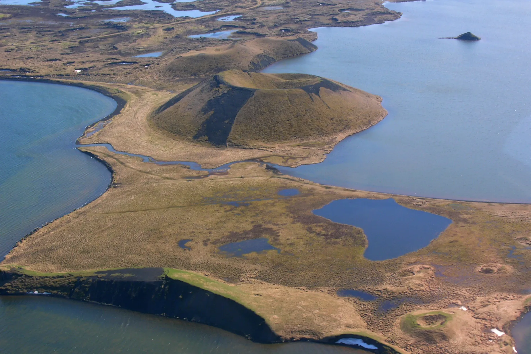
A shallow volcanic lake of pseudocraters and lava pillars in northern Iceland.
Photo: Hansueli Krapf / CC BY-SA 3.0, via Wikimedia Commons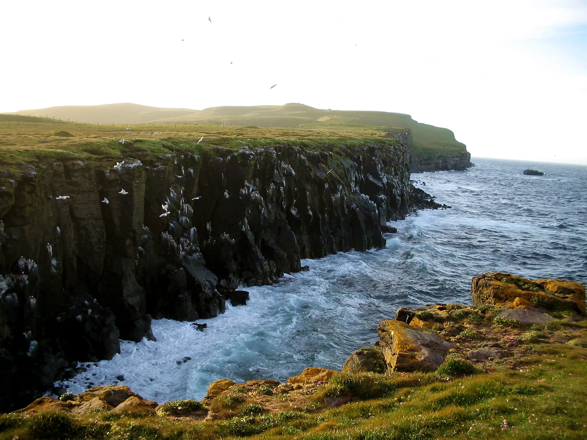
Iceland's only piece of land on the Arctic Circle, an island of puffins.
Photo: MosheA / CC BY-SA 2.5, via Wikimedia Commons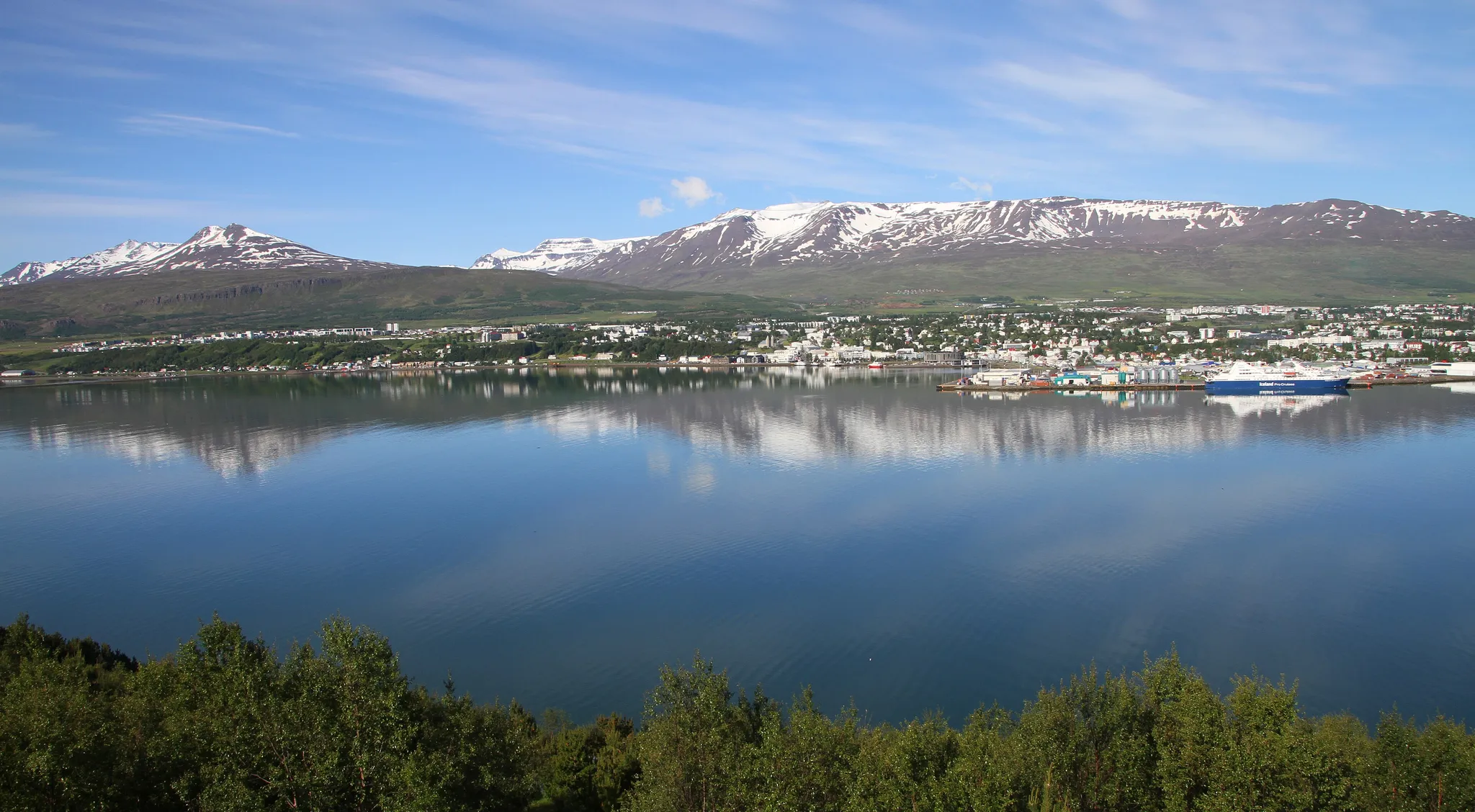
The capital of northern Iceland, a fjord town just below the Arctic Circle.
Photo: Gerd Eichmann / CC BY-SA 4.0, via Wikimedia Commons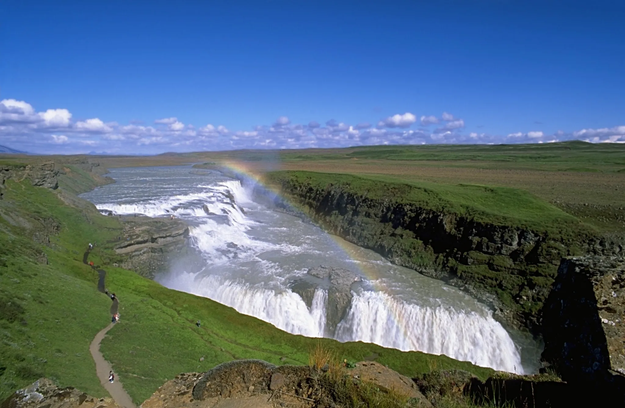
The 'Golden Falls', a two-step waterfall that plunges into a canyon on the Golden Circle.
Photo: Andreas Tille / CC BY-SA 4.0, via Wikimedia Commons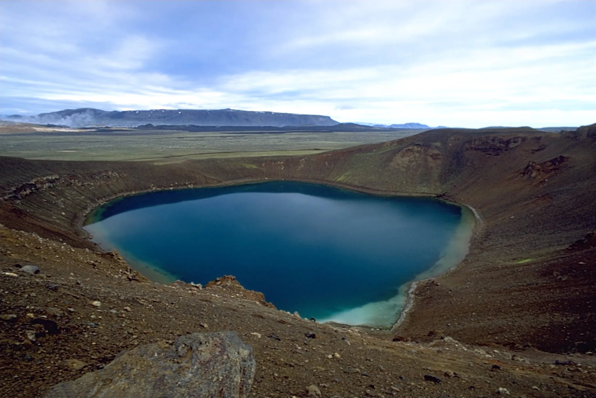
A volcanic caldera with a milky-blue crater lake and steaming geothermal fields.
Photo: Andreas Tille / CC BY-SA 4.0, via Wikimedia Commons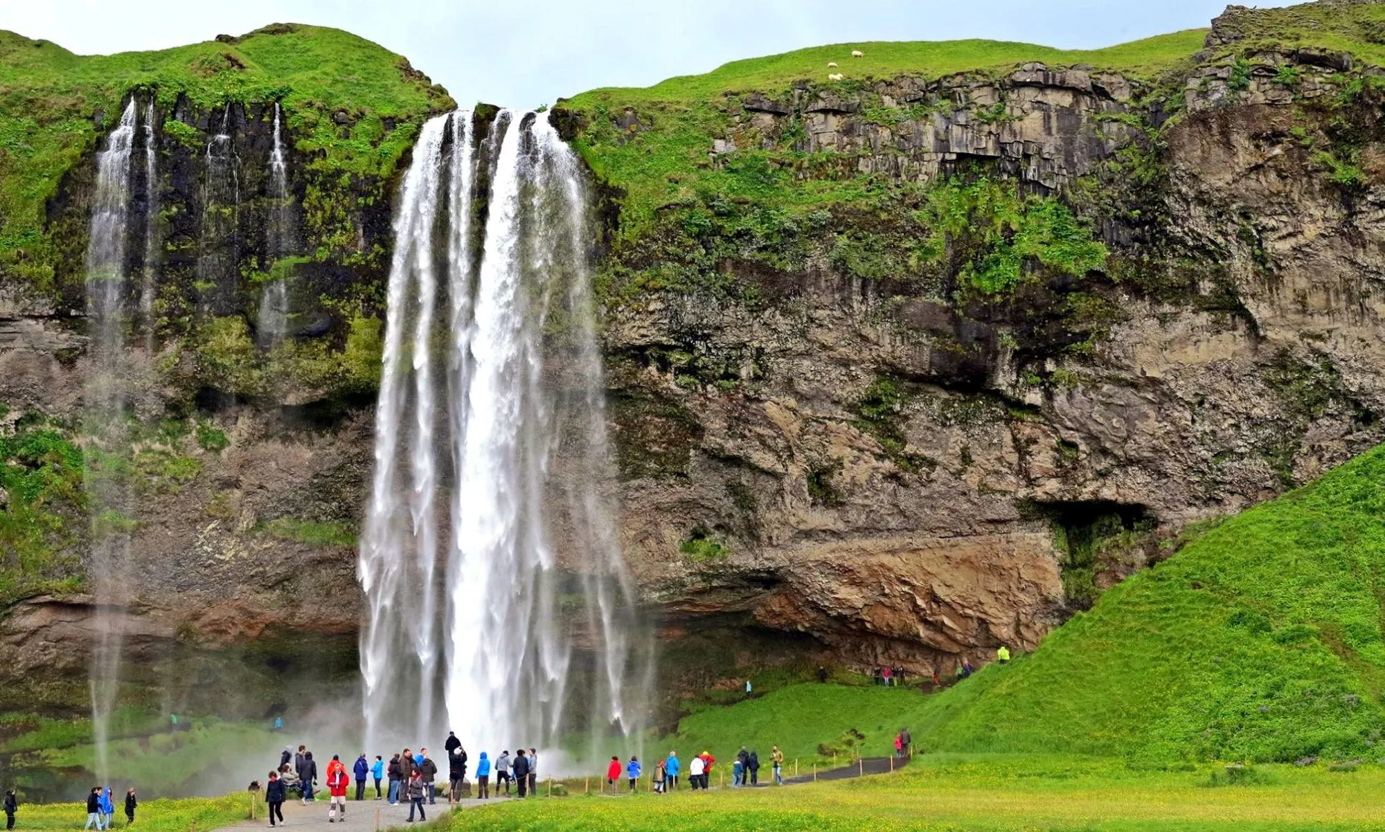
A 60-metre waterfall with a path that lets you walk behind the curtain of water.
Photo: Zoran Kurelić Rabko / CC BY-SA 3.0, via Wikimedia CommonsHow to place them
Heading east from Snæfellsjökull, it is 420 km before Iceland's 21 places run out at Vestrahorn. The densest patch is in the south, where Reynisfjara, Skógafoss, Hekla, Heimaey and Seljalandsfoss sit within 55 km.
Two easy, eleven medium, four hard: Skógafoss and Goðafoss on the hard side, Thingvellir National Park and Hekla on the easy. The expert photo is Jökulsárlón. Jökulsárlón forgives 150 km, the most of any place here. Heimaey is an island half-buried by a 1973 eruption, its harbour saved by spraying seawater on the lava.
Iceland is one country. The daily draws from all 167.
Play the daily in the appQuestions & answers
How many locations does Iceland get?
Iceland has 21 in the pool, Grímsey being the northernmost and Reynisfjara the southernmost.
Which Iceland location is rated hardest?
Jökulsárlón, Kirkjufell and Vestrahorn, among four rated expert. Miss by 277 km beyond the radius and half the points are gone.
Which Iceland photo forgives the widest miss?
Aim for Jökulsárlón. Anything within 150 km of it counts as exact.