Photo location game · Asia
Indonesia landmarks quiz: guess where 13 photos were taken
13 photographs of Indonesia and the map they belong on. Five make a round; the full set is below for study.
★ 4.7 on Google Play· 60 ratings· 500+ downloads· Free
4 photos from Indonesia on this map. Tap where you think each one was taken.
Tap the map where you think this is
Where they are
4 on the mapAll 13 places
by id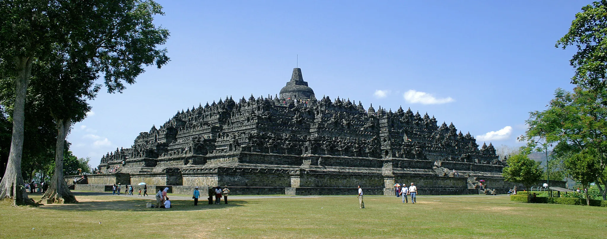
The world's largest Buddhist temple, tiered with stupas, on Java.
Photo: Gunawan Kartapranata / CC BY-SA 3.0, via Wikimedia Commons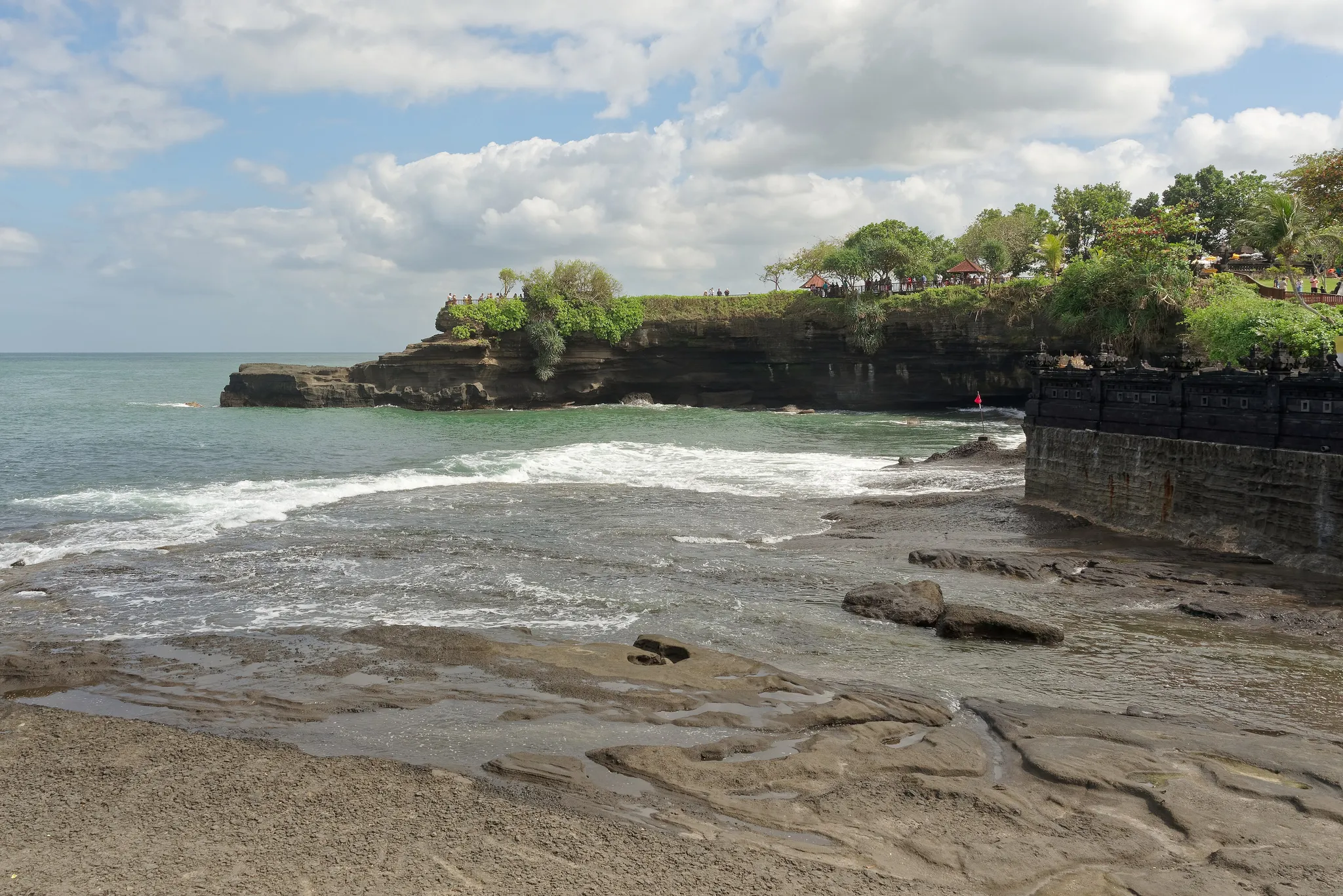
A Hindu temple on a rock islet cut off at high tide.
Photo: Jakub Hałun / CC BY-SA 4.0, via Wikimedia Commons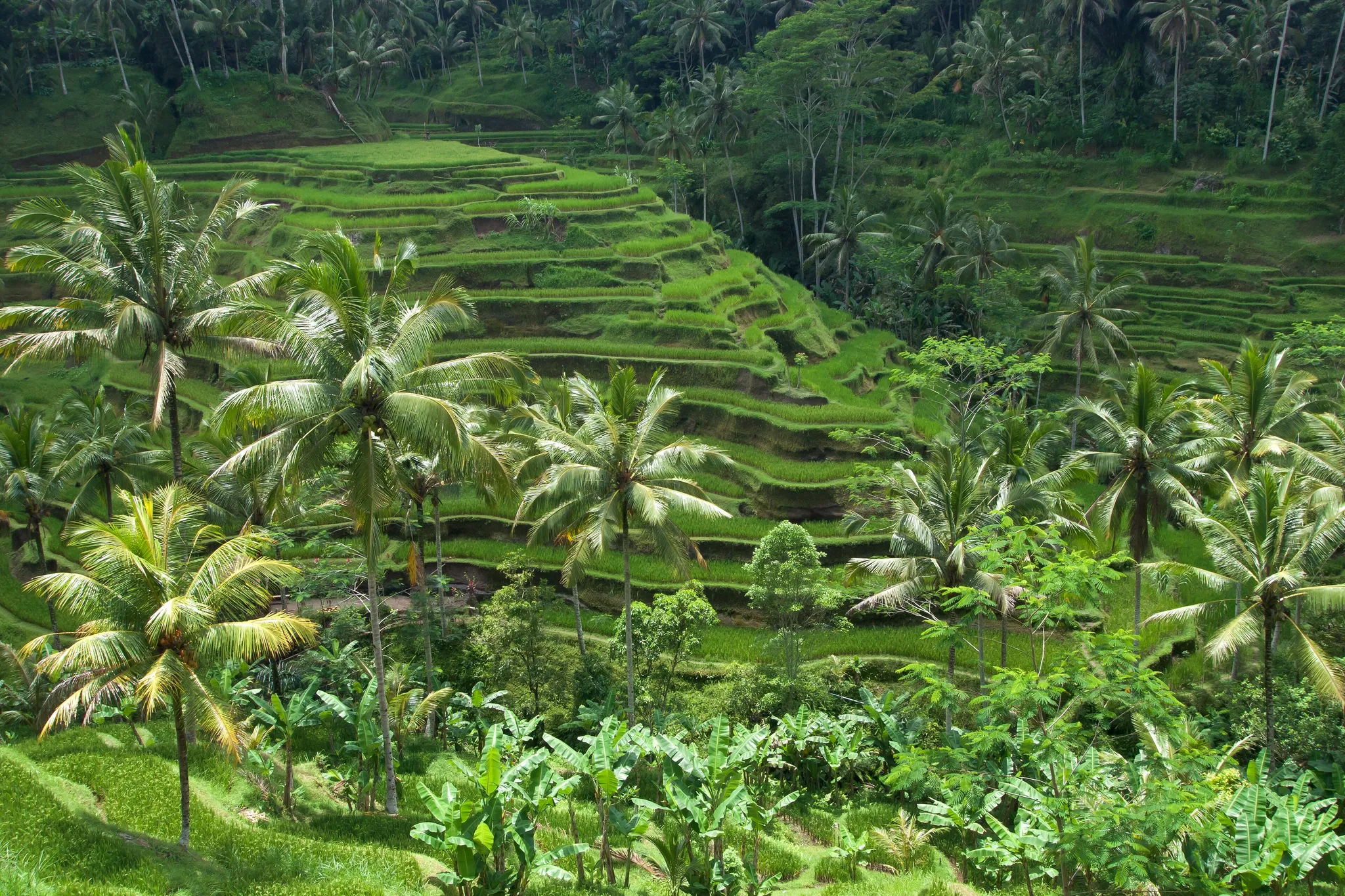
Curved emerald rice terraces watered by a traditional system.
Photo: Vyacheslav Argenberg / CC BY 4.0, via Wikimedia Commons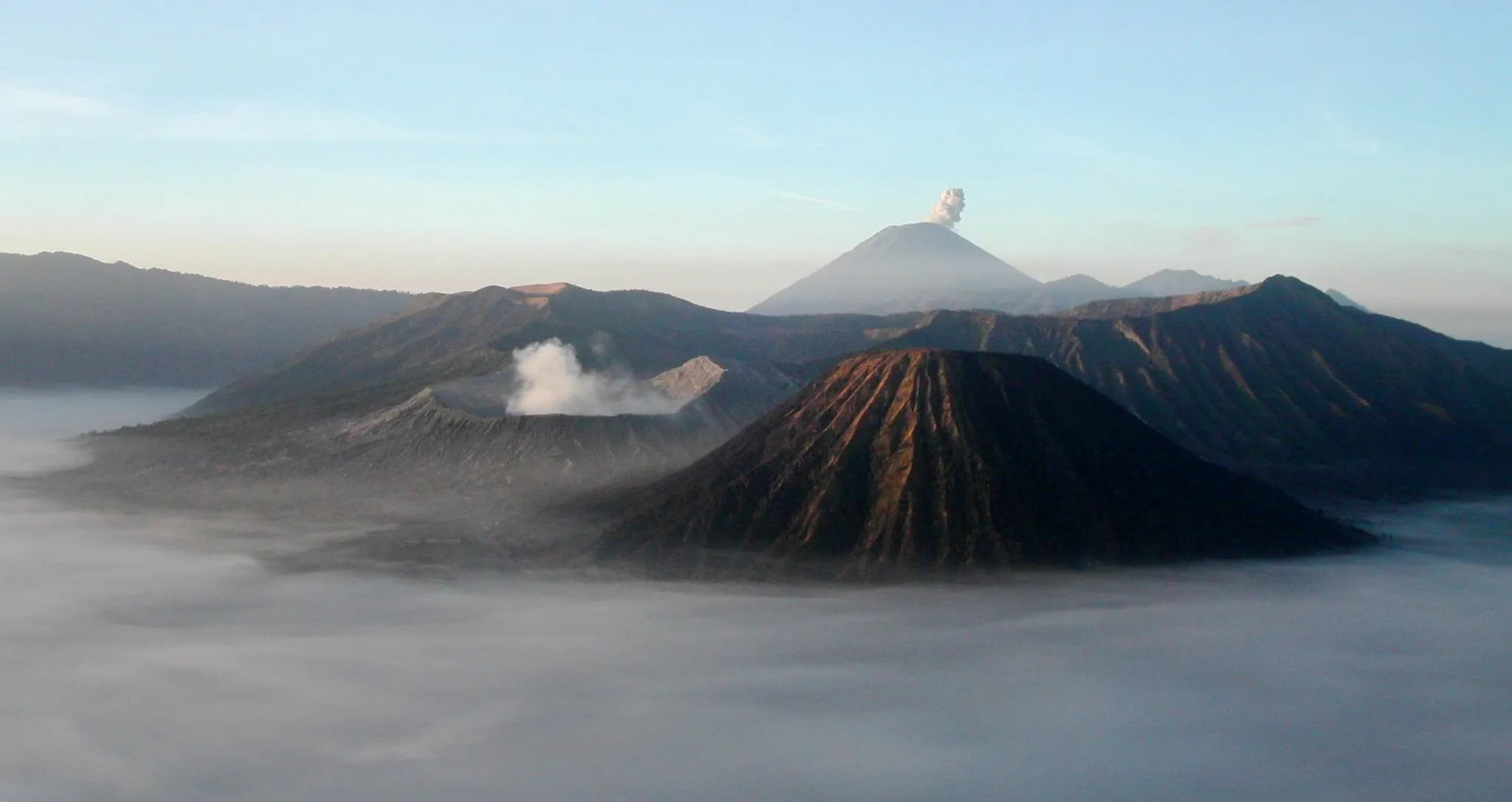
A smoking volcanic crater in a sea of sand on Java.
Photo: Thomas Hirsch (= user Ravn) / CC BY-SA 3.0, via Wikimedia Commons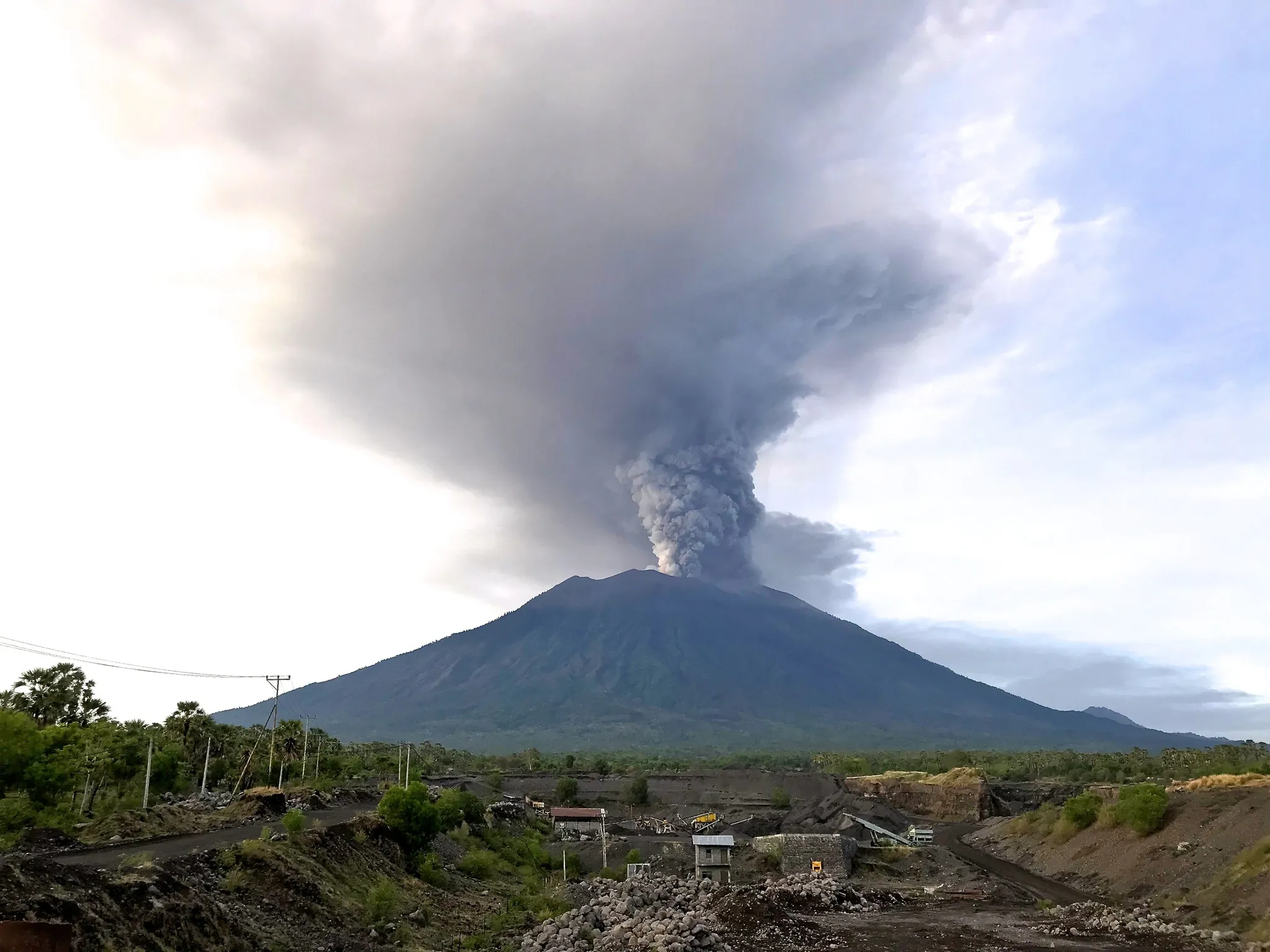
Bali's highest and holiest volcano, home of the gods in Balinese belief.
Photo: Michael W. Ishak (www.myreefsdiary.com) / CC BY-SA 4.0, via Wikimedia Commons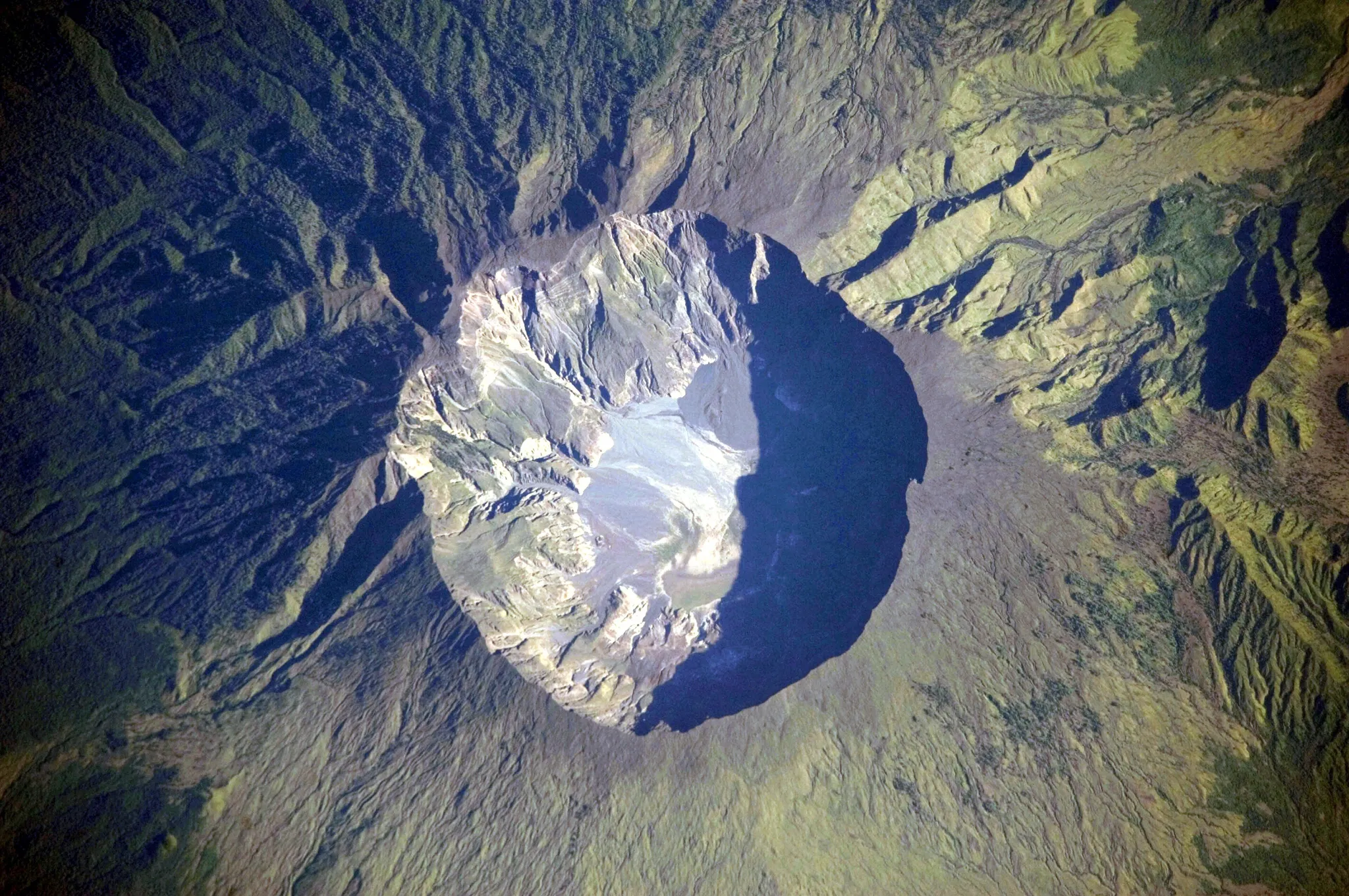
The volcano whose 1815 eruption caused the 'year without a summer'.
Photo: Public domain, via Wikimedia Commons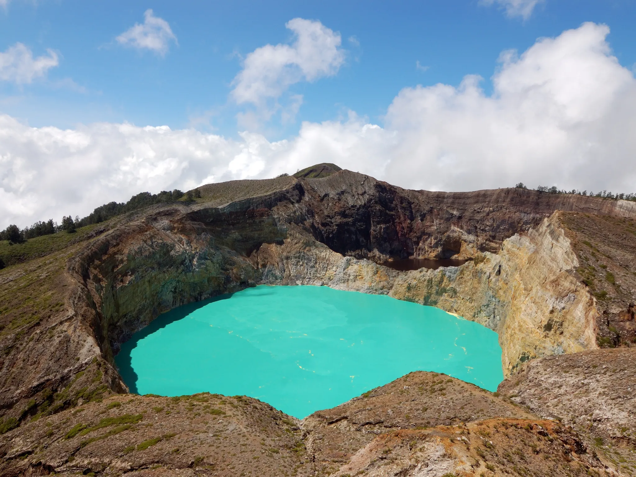
A volcano with three crater lakes that change colour from turquoise to black.
Photo: Rosino / CC BY-SA 2.0, via Wikimedia Commons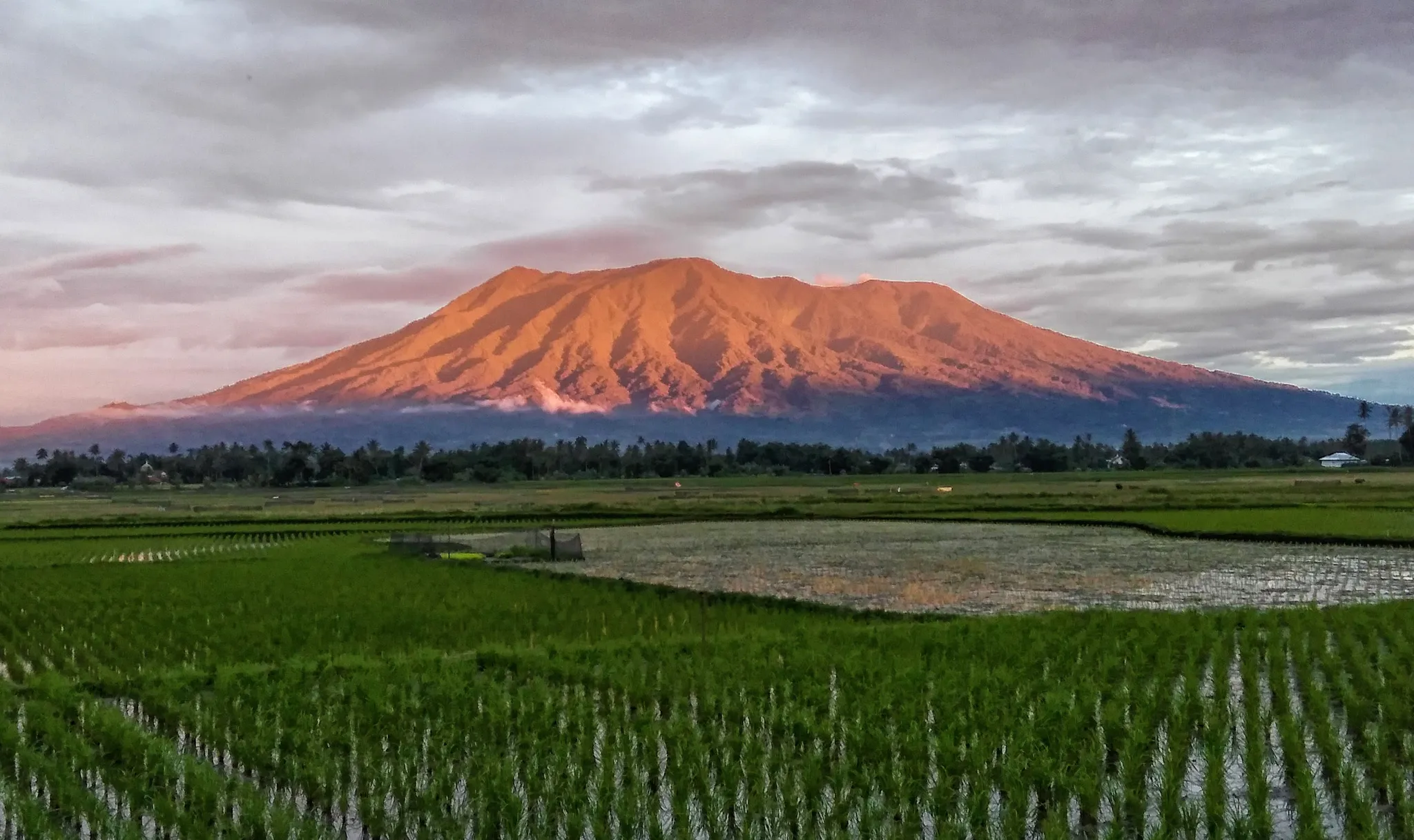
West Sumatra's most active volcano, looming over the Minangkabau highlands.
Photo: Dody.bukittinggi / CC BY-SA 4.0, via Wikimedia Commons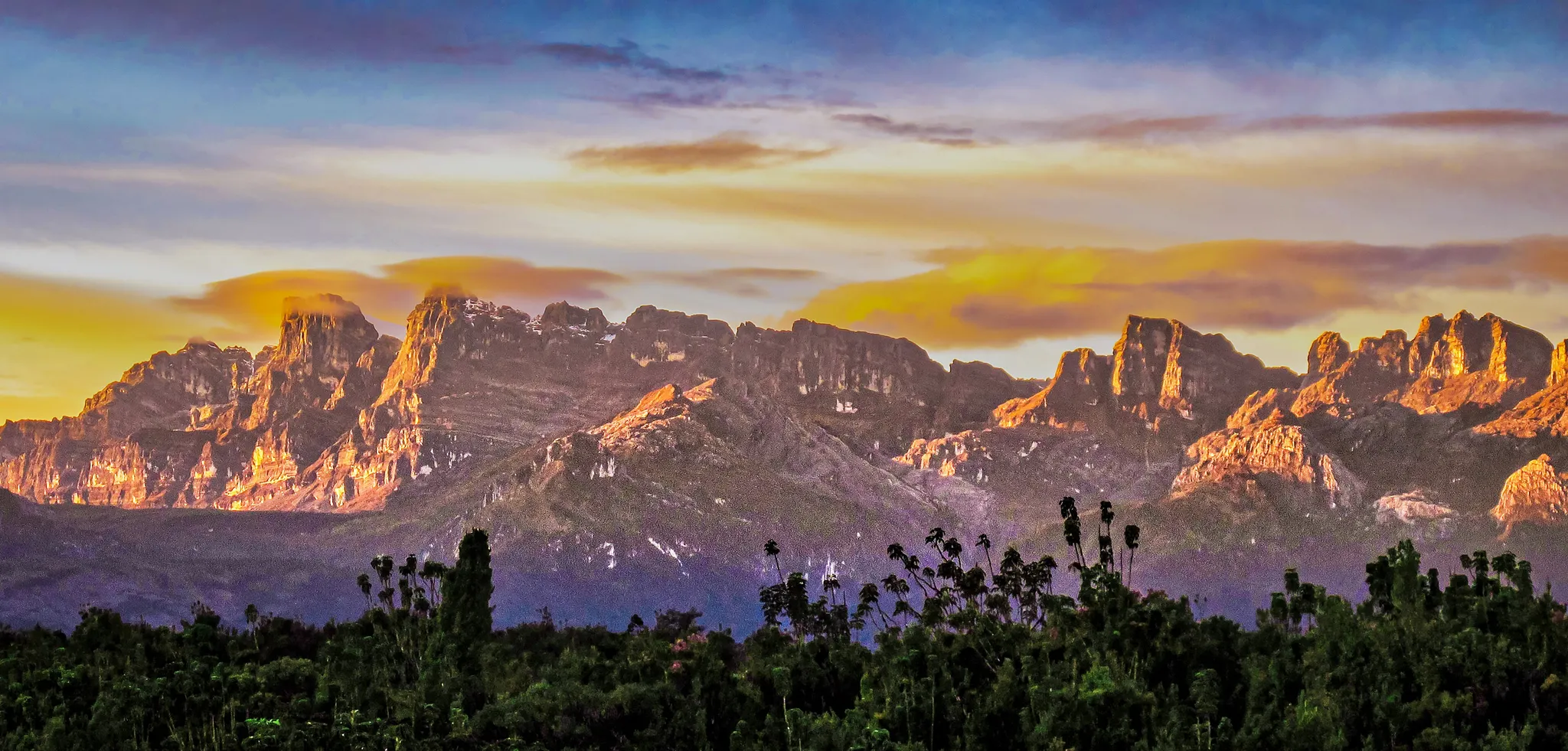
The only tropical park stretching from snow-capped peaks to the sea.
Photo: Ganjarmustika1904 / CC BY-SA 4.0, via Wikimedia Commons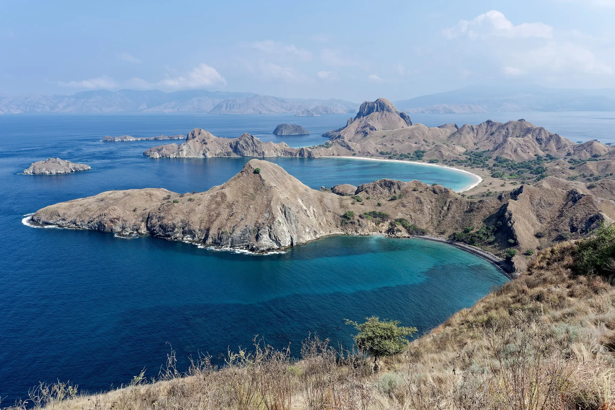
Volcanic islands that are the only home of the Komodo dragon.
Photo: Jakub Hałun / CC BY 4.0, via Wikimedia Commons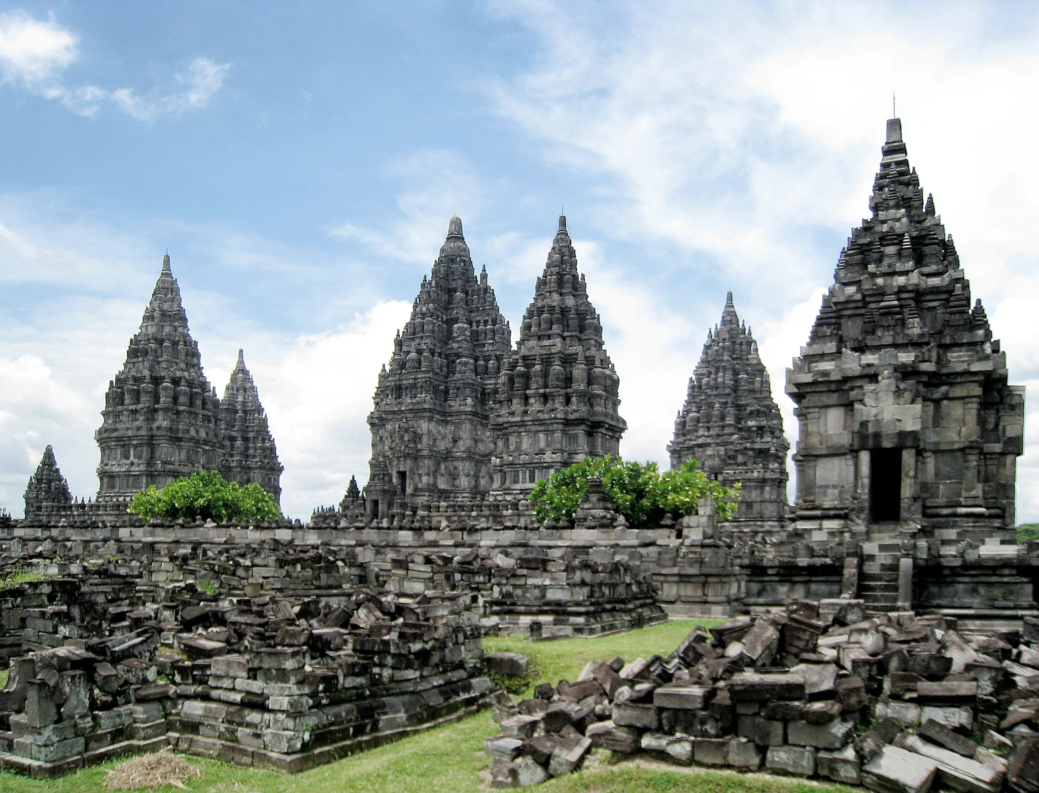
The largest Hindu temple complex in Indonesia, with towering 9th-century spires.
Photo: Gunawan Kartapranata / CC BY-SA 3.0, via Wikimedia Commons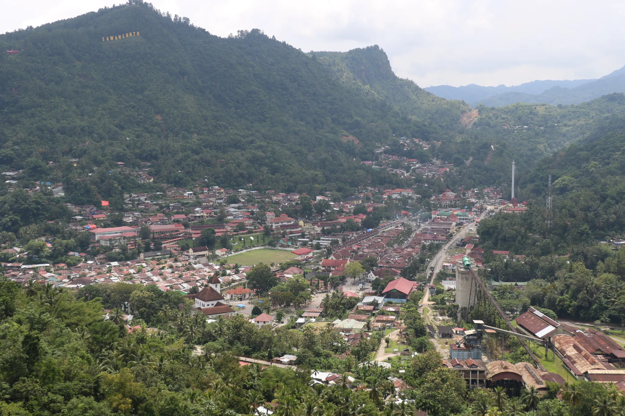
A colonial coal-mining town in the Sumatran hills, now a heritage site.
Photo: Public domain, via Wikimedia Commons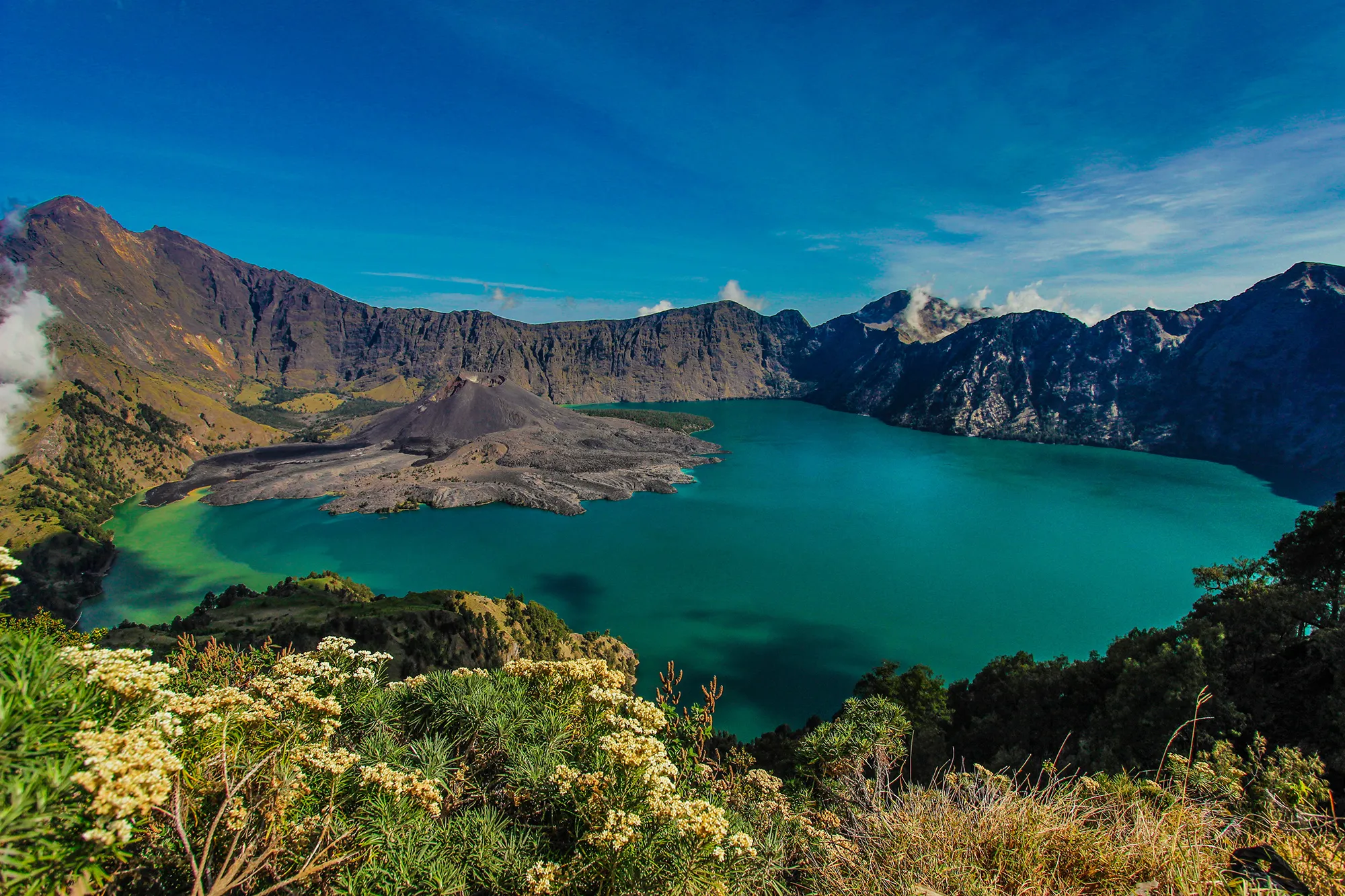
Indonesia's second highest volcano, with a crescent crater lake at 2,000 metres.
Photo: Aldoarianto.87 / CC BY-SA 4.0, via Wikimedia CommonsHow to place them
West to east, Rinjani to Keli Mutubuurai, the 4 mainland places cover 590 km. Borobudur, Tanah Lot, Bali, Tegallalang Rice Terraces, Bali, Mount Bromo, Mount Agung, Marapi, Lorentz National Park, Prambanan Temple and Sawahlunto have a card but no dot; the map stops short of them.
Between Mount Agung and Tambora at one end and Mount Bromo and Keli Mutubuurai at the other sit four medium photos. Tanah Lot, Bali is a Hindu temple on a rock islet cut off at high tide.
Indonesia is one country. The daily draws from all 167.
Play the daily in the appQuestions & answers
How many locations does Indonesia get?
There are 13 (nine are off the mainland map), spanning Marapi to Keli Mutubuurai. Five come up per round.
Which Indonesia location is rated hardest?
Mount Bromo, Keli Mutubuurai and Marapi, plus one more, carry the hard rating, where 451 km of error costs half the score.
Which Indonesia photo forgives the widest miss?
Mount Bromo. Its radius is 30 km, the widest here; a pin within it takes the full 5,000.