Photo location game · Asia
Iran landmarks quiz: guess where 13 photos were taken
13 photos taken in Iran, each marked on the map with a line about the place. Each round picks five.
★ 4.7 on Google Play· 60 ratings· 1000+ downloads· Free
You see a photo, then the map. Five rounds from Iran, scored by how far your pin lands from the real spot.
Tap the map where you think this is
Where they are
13 on the mapAll 13 places
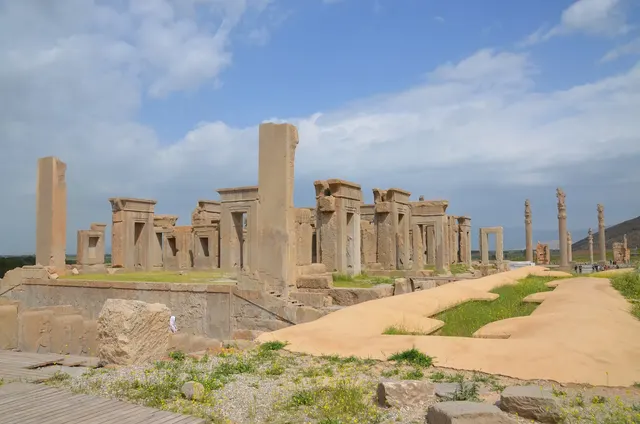
The ceremonial capital of the ancient Persian Empire.
Photo: Carole Raddato / CC BY-SA 2.0, via Wikimedia Commons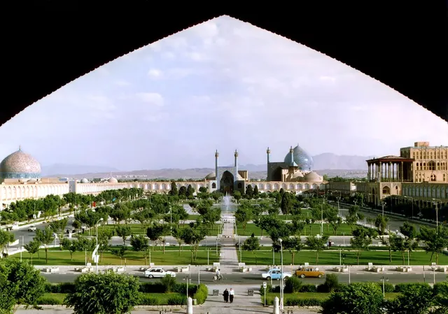
A vast square framed by blue-tiled mosques and bazaars.
Photo: en:User:Arad / CC BY-SA 3.0, via Wikimedia Commons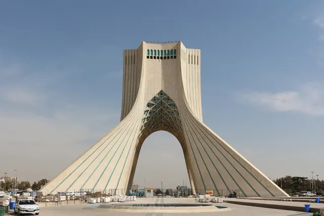
The marble arch built in 1971 as the gateway to Tehran.
Photo: Bernard Gagnon / CC BY-SA 4.0, via Wikimedia Commons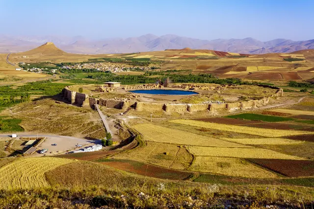
A Zoroastrian fire temple ringed around a crater lake in the mountains.
Photo: Elaheabed / CC BY-SA 4.0, via Wikimedia Commons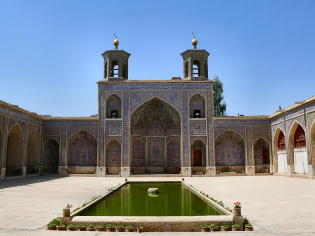
The 'Pink Mosque' of Shiraz, famous for stained glass that floods its hall with colour.
Photo: dynamosquito / CC BY-SA 2.0, via Wikimedia Commons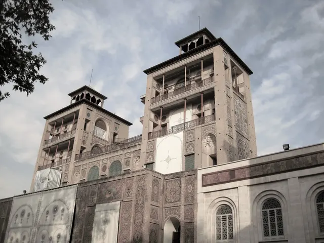
The tiled Qajar royal palace of Tehran, where the last shah was crowned.
Photo: Miladpoorali / CC BY-SA 4.0, via Wikimedia Commons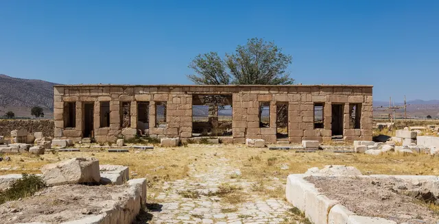
The first Persian capital, with the simple stone tomb of Cyrus the Great.
Photo: Diego Delso / CC BY-SA 4.0, via Wikimedia Commons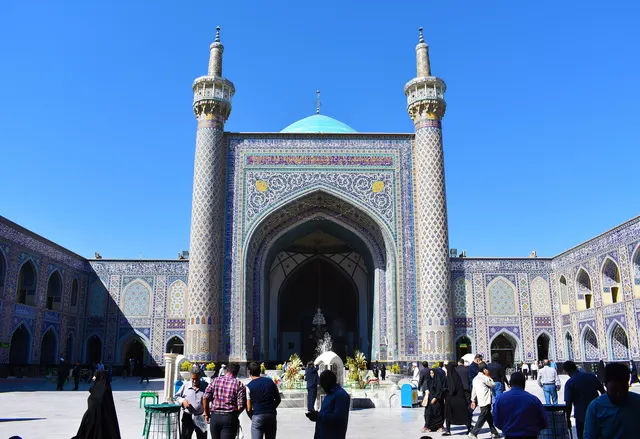
A 15th-century Timurid mosque of turquoise tiles inside the Imam Reza shrine.
Photo: Goudarz.memar / CC BY-SA 4.0, via Wikimedia Commons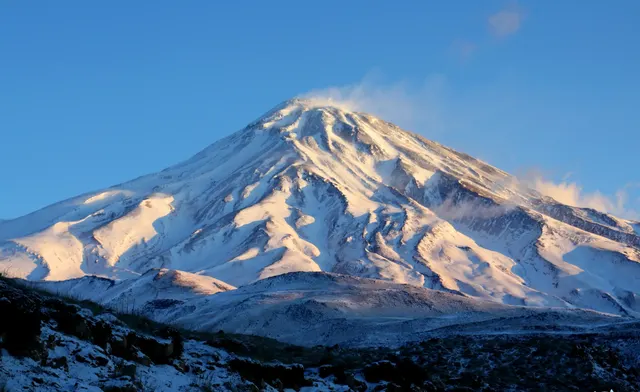
Iran's highest peak, a snow-capped volcano of Persian legend.
Photo: Safa.daneshvar / CC BY-SA 4.0, via Wikimedia Commons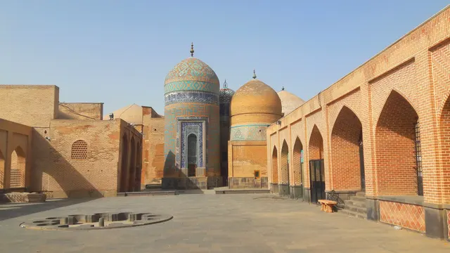
A Sufi shrine complex of tiled domes and brick halls in Ardabil.
Photo: MAF70 / CC BY-SA 4.0, via Wikimedia Commons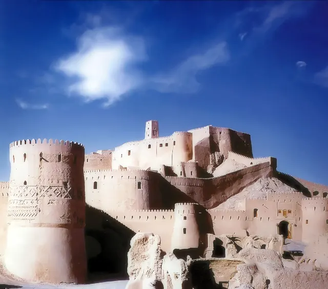
A vast mud-brick citadel on the Silk Road, rebuilt after the 2003 earthquake.
Photo: Arad Mojtahedi / CC BY-SA 3.0, via Wikimedia Commons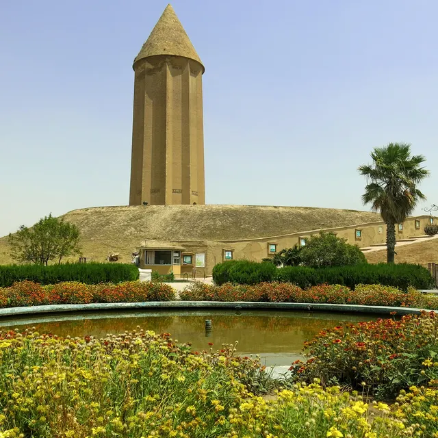
A 53-metre brick tomb tower from 1006, the tallest of its kind in the world.
Photo: Hadi Karimi / CC BY-SA 4.0, via Wikimedia Commons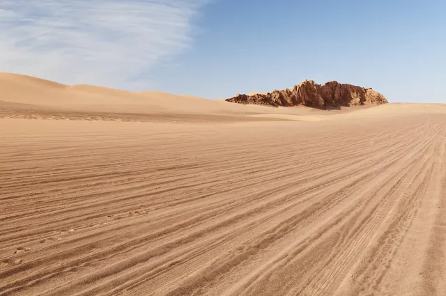
A salt desert that holds the record for the hottest ground temperature on Earth.
Photo: Lrkrol / CC BY 4.0, via Wikimedia CommonsHow to place them
There are 1,400 km between the top and the bottom of the map, from Sheikh Safi al-Din Khānegāh and Shrine Ensemble down to Bam Citadel. The busiest part of the map is around Persepolis, in the south, with Nasir-ol-Molk Mosque and Pasargadae within 120 km.
By rating, the photos are four easy, eight medium and one hard. The hard one is Goharshad Mosque. Golestan Palace, Pasargadae, Damavand and Dasht-e Lut are rated easy. Takht-e Soleyman is a Zoroastrian fire temple ringed around a crater lake in the mountains.
The daily in the app mixes photos from all 167 countries in the game, five a day, the same five for everyone.
Play the dailyQuestions & answers
How many places in Iran are in the game?
13 places. Sheikh Safi al-Din Khānegāh and Shrine Ensemble is the furthest north and Bam Citadel the furthest south.
What is the hardest photo from Iran?
Goharshad Mosque, the only photo rated hard. A miss of 693 km beyond the radius costs half the score.
Which photo is the easiest to score full points on?
Persepolis and Damavand. They share the widest radius on this page, 25 km, and any pin inside it scores the full 5,000.