Photo location game · Europe
Ireland landmarks quiz: guess where 11 photos were taken
A round of five from Ireland, then all 11 places with their photos, facts and dots on the map.
★ 4.7 on Google Play· 60 ratings· 500+ downloads· Free
The round is five photos long. Look, tap the map, read the distance, move on.
Tap the map where you think this is
Where they are
11 on the mapAll 11 places
by id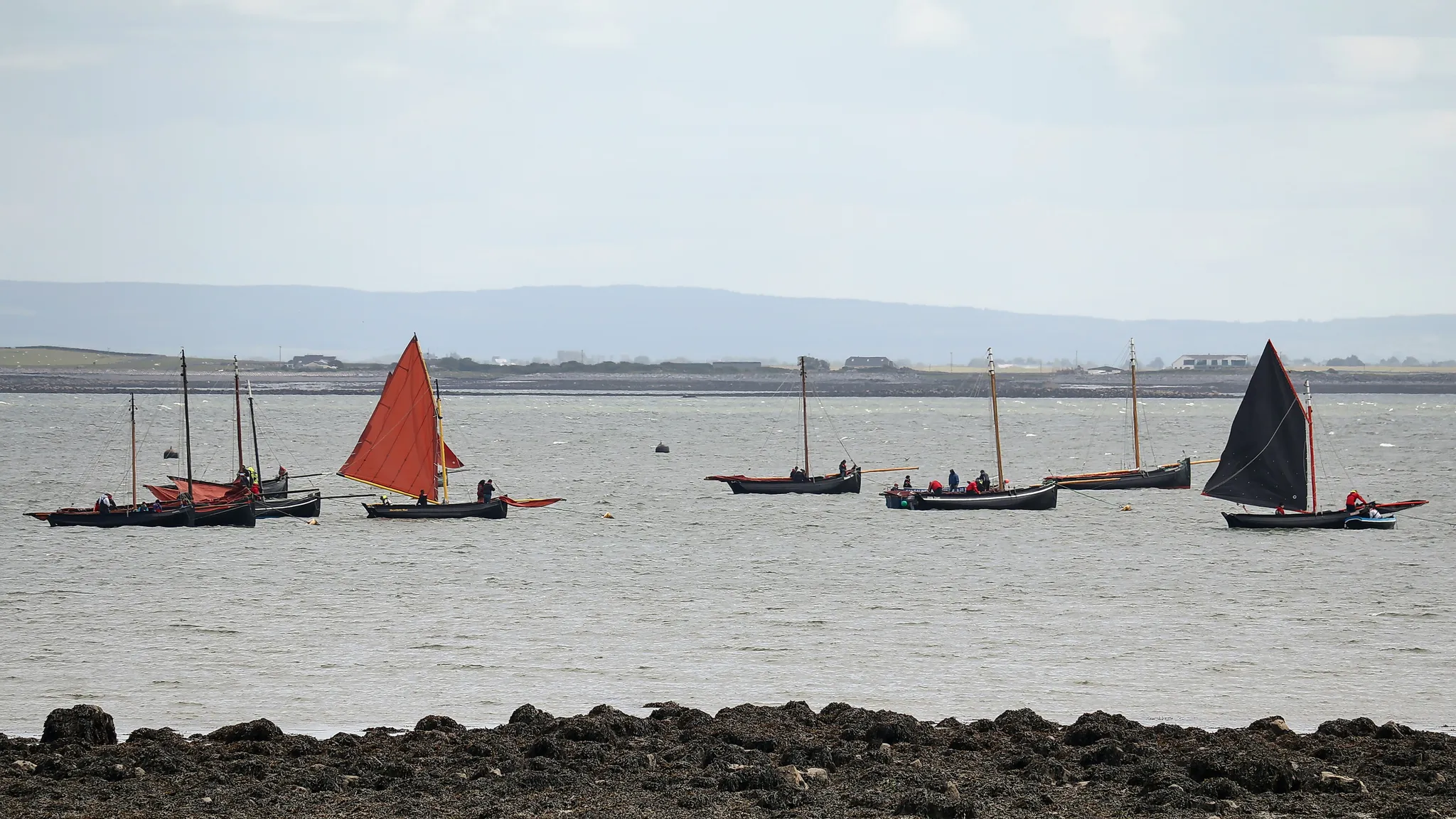
The bay on Ireland's west coast that Galway city opens onto, guarded by the Aran Islands.
Photo: Robert Linsdell from St. Andrews, Canada / CC BY 2.0, via Wikimedia Commons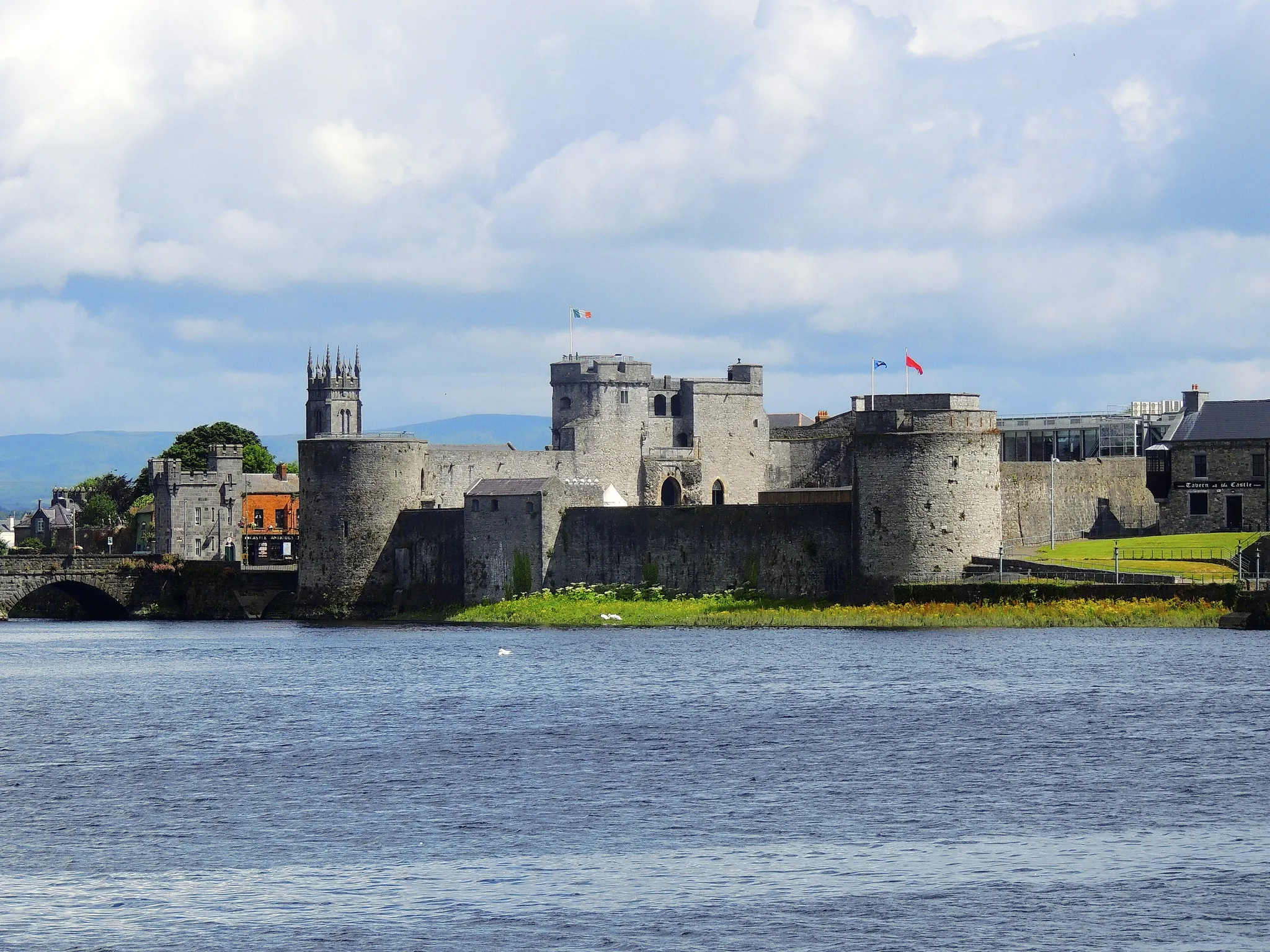
A Shannon-side city with King John's Castle guarding the river.
Photo: MonikaKub / CC BY-SA 4.0, via Wikimedia Commons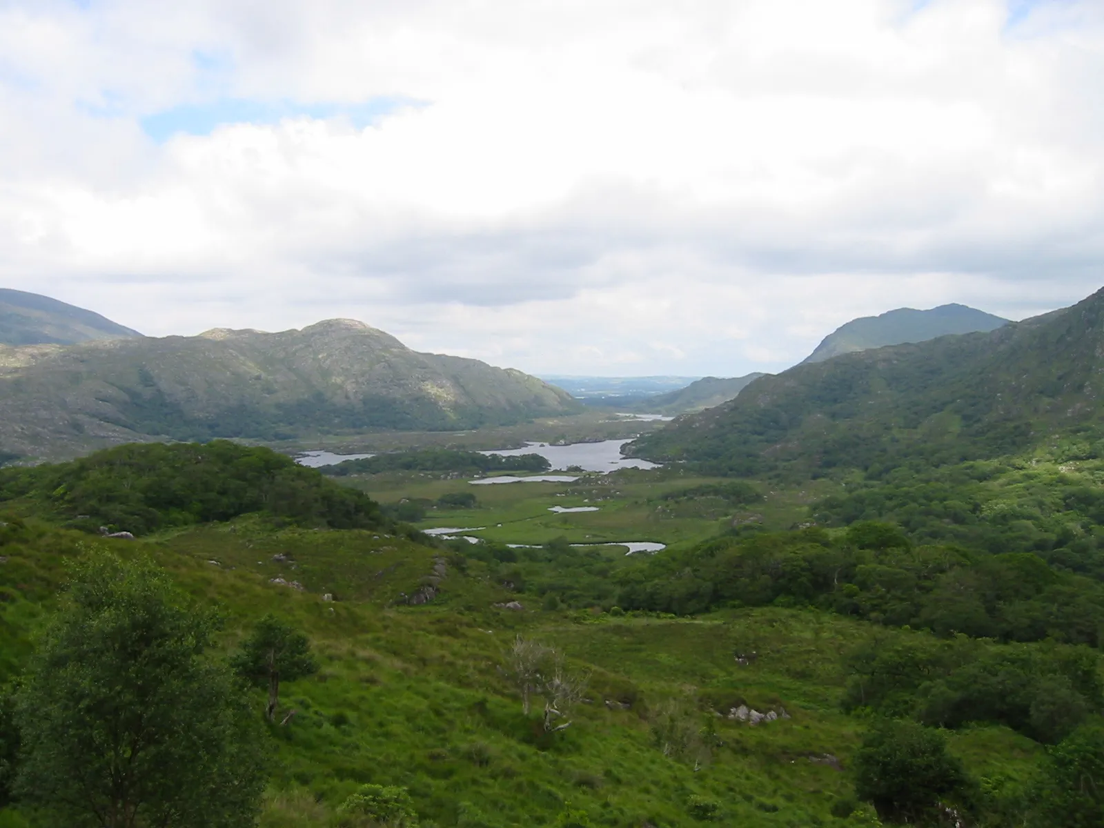
Ireland's first national park, lakes and oak woods beneath the MacGillycuddy's Reeks.
Photo: Public domain, via Wikimedia Commons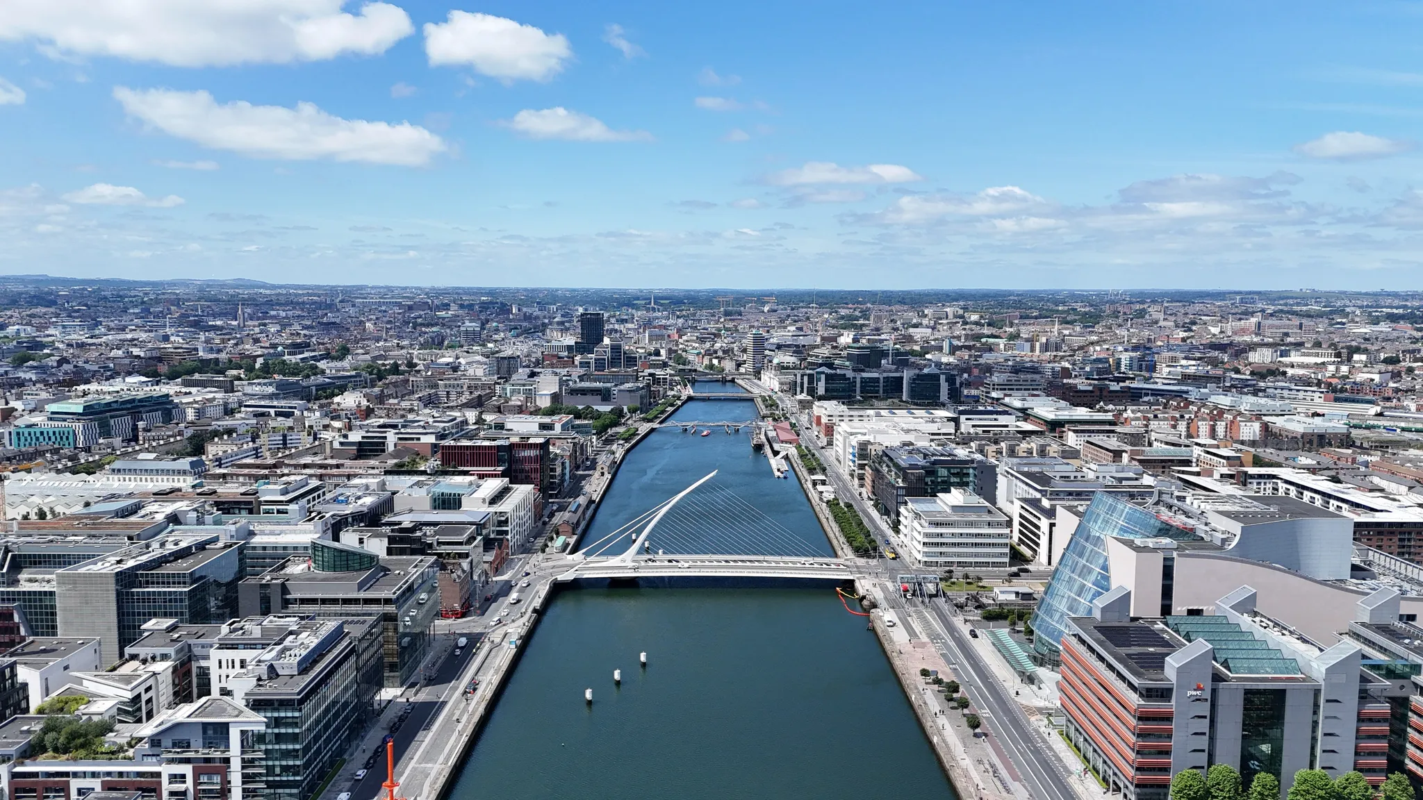
The Irish capital on the River Liffey, home of Guinness and James Joyce.
Photo: 瑞丽江的河水 / CC BY-SA 4.0, via Wikimedia Commons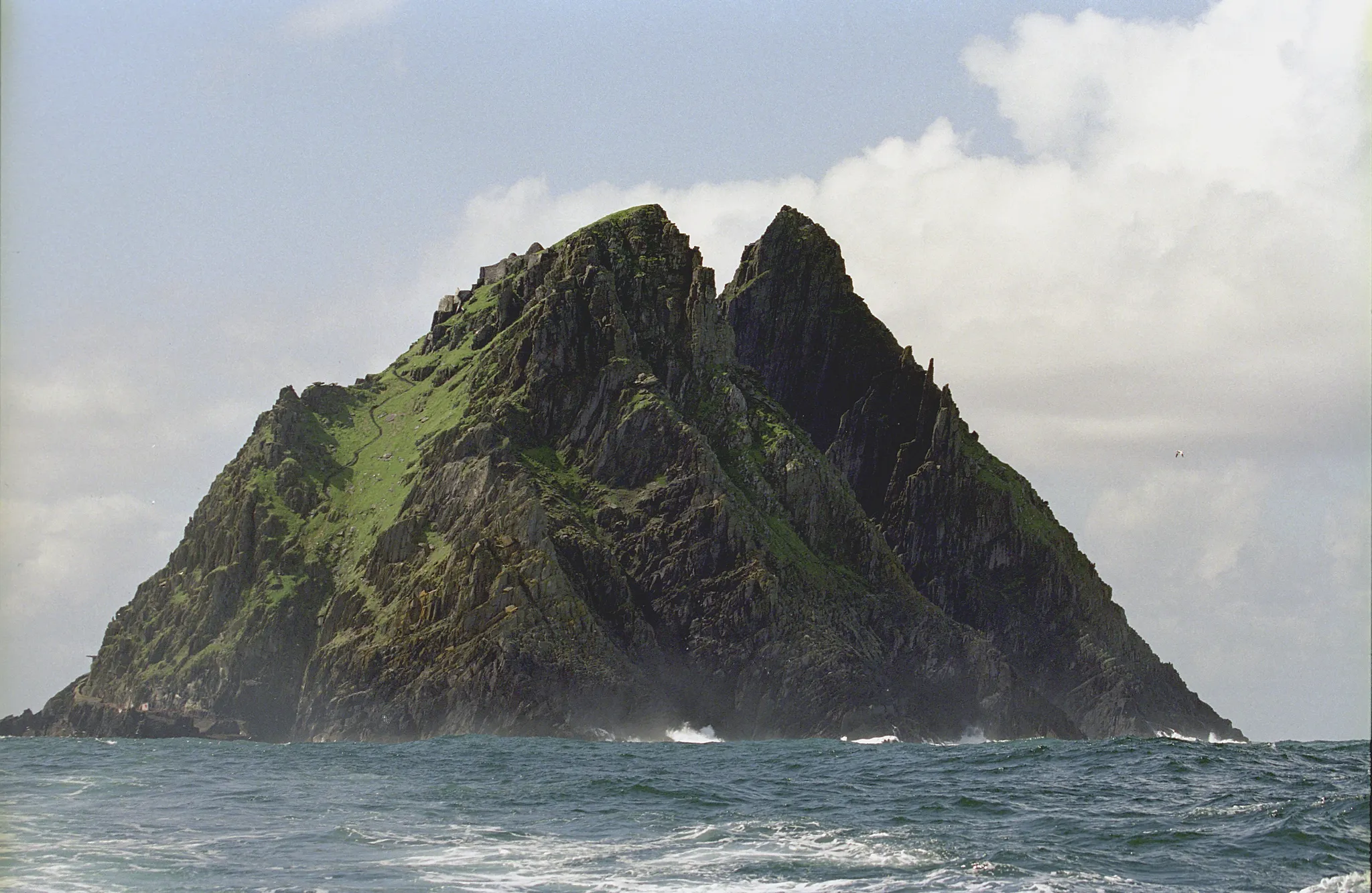
A jagged Atlantic rock with a 6th-century monastery, seen in Star Wars.
Photo: Jerzy Strzelecki / CC BY-SA 3.0, via Wikimedia Commons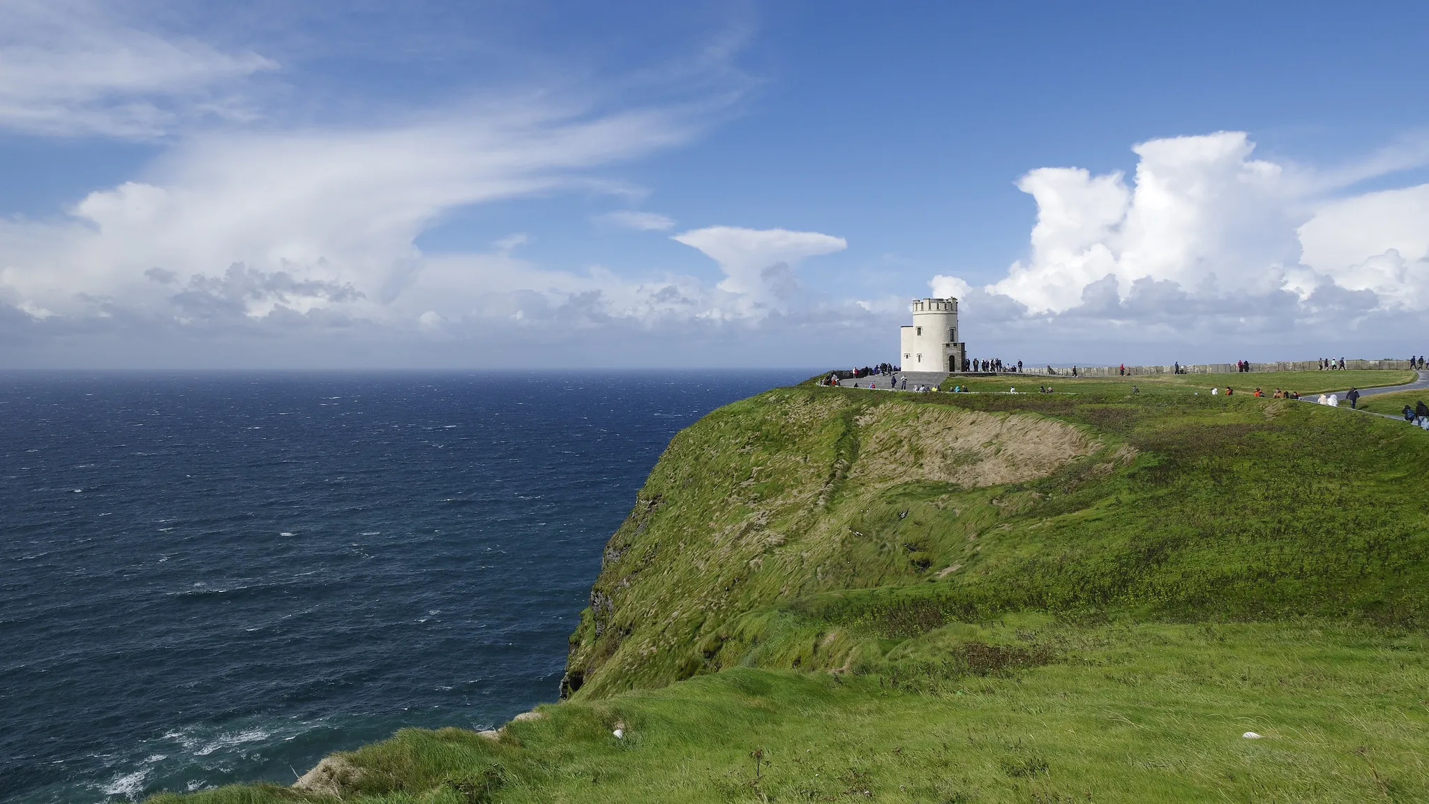
Sea cliffs rising 214 metres above the Atlantic on Ireland's west coast.
Photo: Berthold Werner / CC BY-SA 4.0, via Wikimedia Commons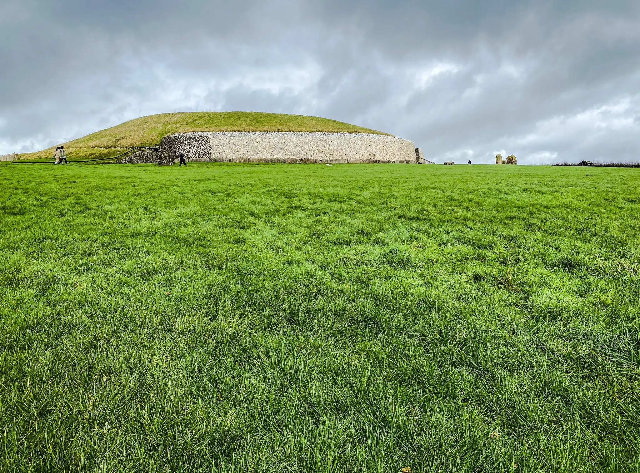
Newgrange, a 5,200-year-old passage tomb lit by the sun only at the winter solstice.
Photo: Dieglop / CC BY-SA 4.0, via Wikimedia Commons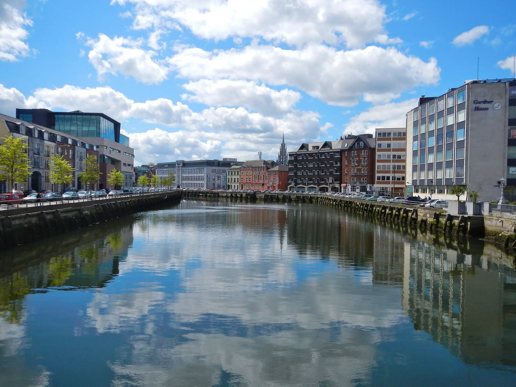
Ireland's second city, built on an island in the River Lee.
Photo: K.ristof / CC BY-SA 3.0, via Wikimedia Commons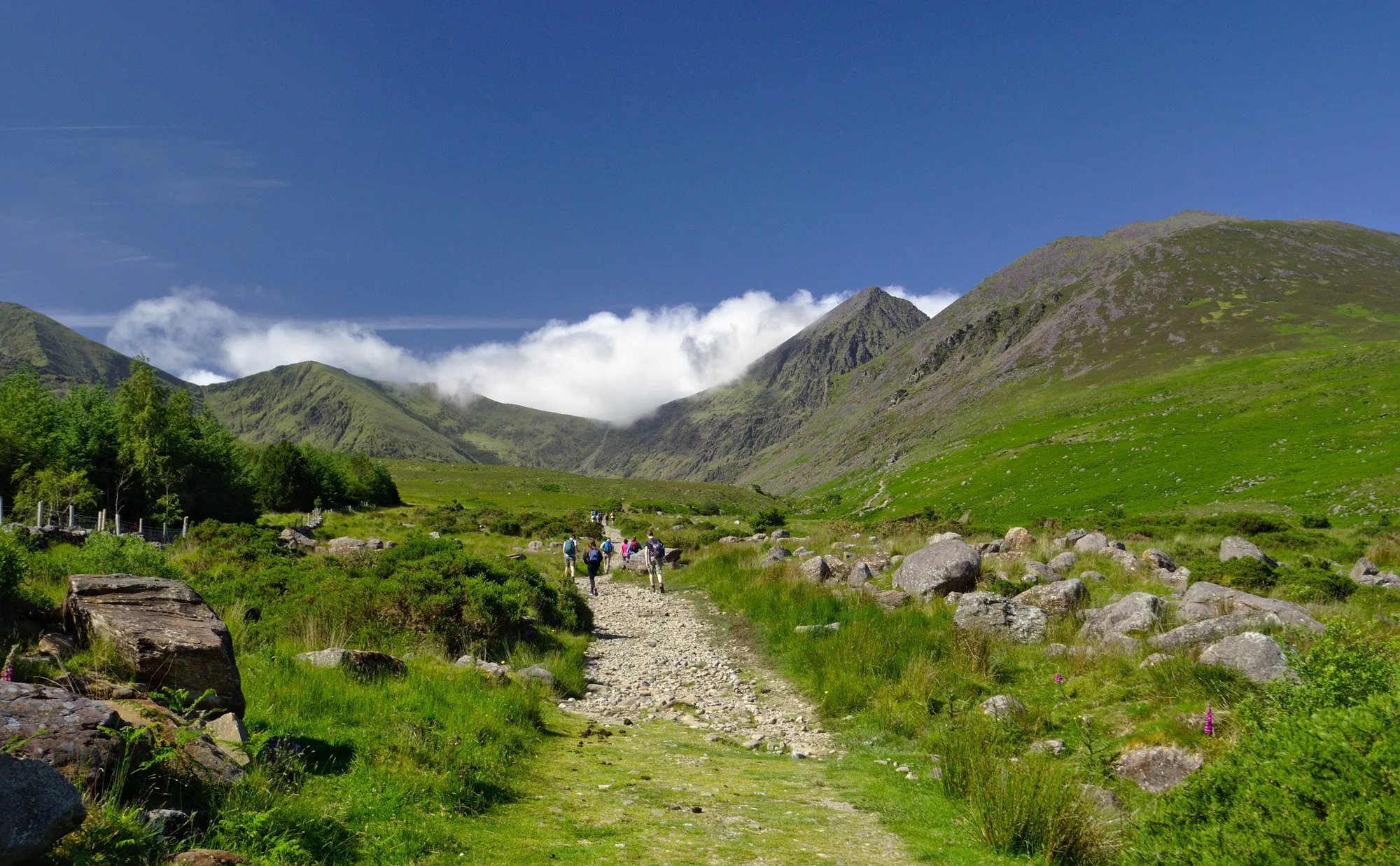
Ireland's highest mountain at 1,039 metres, in the MacGillycuddy's Reeks.
Photo: Mariusz Z / CC BY-SA 2.0, via Wikimedia Commons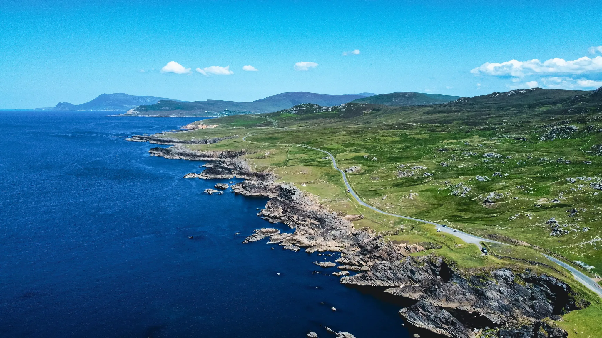
Ireland's largest island, with Europe's highest sea cliffs at Croaghaun.
Photo: Kiran Madhusudhanan / CC BY-SA 4.0, via Wikimedia Commons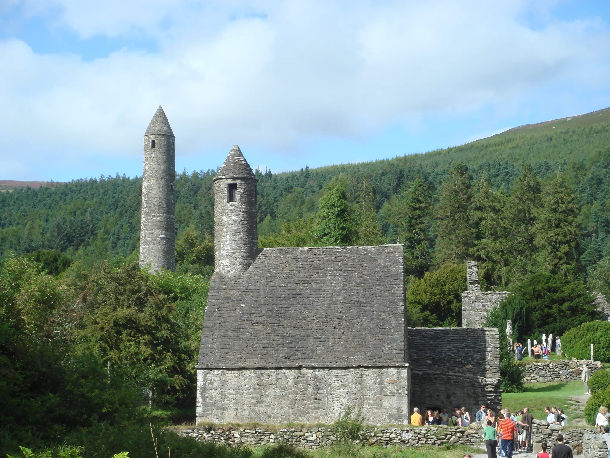
A 6th-century monastic city with a round tower in a valley of two lakes.
Photo: Schcambo at English Wikipedia / CC BY 3.0, via Wikimedia CommonsHow to place them
Ireland's 11 places sit on an east-west line 340 km long, Skellig Michael to Dublin.
The ratings lean hard, six of 11, Galway Bay, Limerick and Killarney National Park first among them. Dublin is where the points come back. Galway Bay is the forgiving one: a 150 km radius, so anywhere in the right region is full marks. Skellig Michael is a jagged Atlantic rock with a 6th-century monastery, seen in Star Wars.
Ireland is one country. The daily draws from all 167.
Play the daily in the appQuestions & answers
How many locations does Ireland get?
Ireland has 11 in the pool, Achill Island being the northernmost and Skellig Michael the southernmost.
Which Ireland location is rated hardest?
Galway Bay, Limerick and Killarney National Park, among six rated hard. Miss by 451 km beyond the radius and half the points are gone.
Which Ireland photo forgives the widest miss?
Aim for Galway Bay. Anything within 150 km of it counts as exact.