Photo location game · Europe
Norway landmarks quiz: guess where 20 photos were taken
20 photographs of Norway and the map they belong on. Five make a round; the full set is below for study.
★ 4.7 on Google Play· 60 ratings· 500+ downloads· Free
A photo, then the map. Five rounds from Norway, scored by how far off your pin lands.
Tap the map where you think this is
Where they are
16 on the mapAll 20 places
by id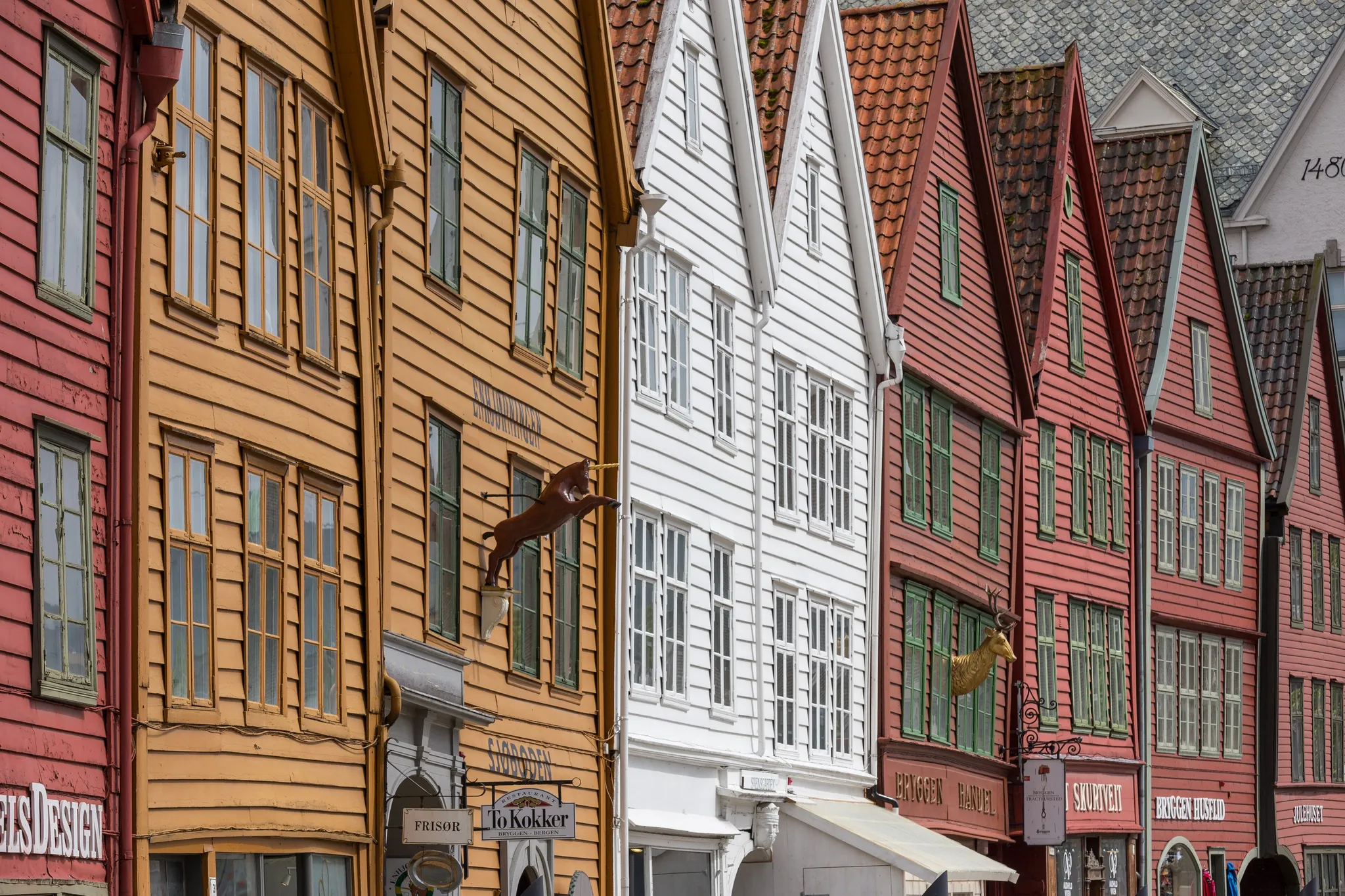
Wooden Hanseatic wharf houses on a Norwegian fjord harbour.
Photo: JoachimKohler-HB / CC BY-SA 4.0, via Wikimedia Commons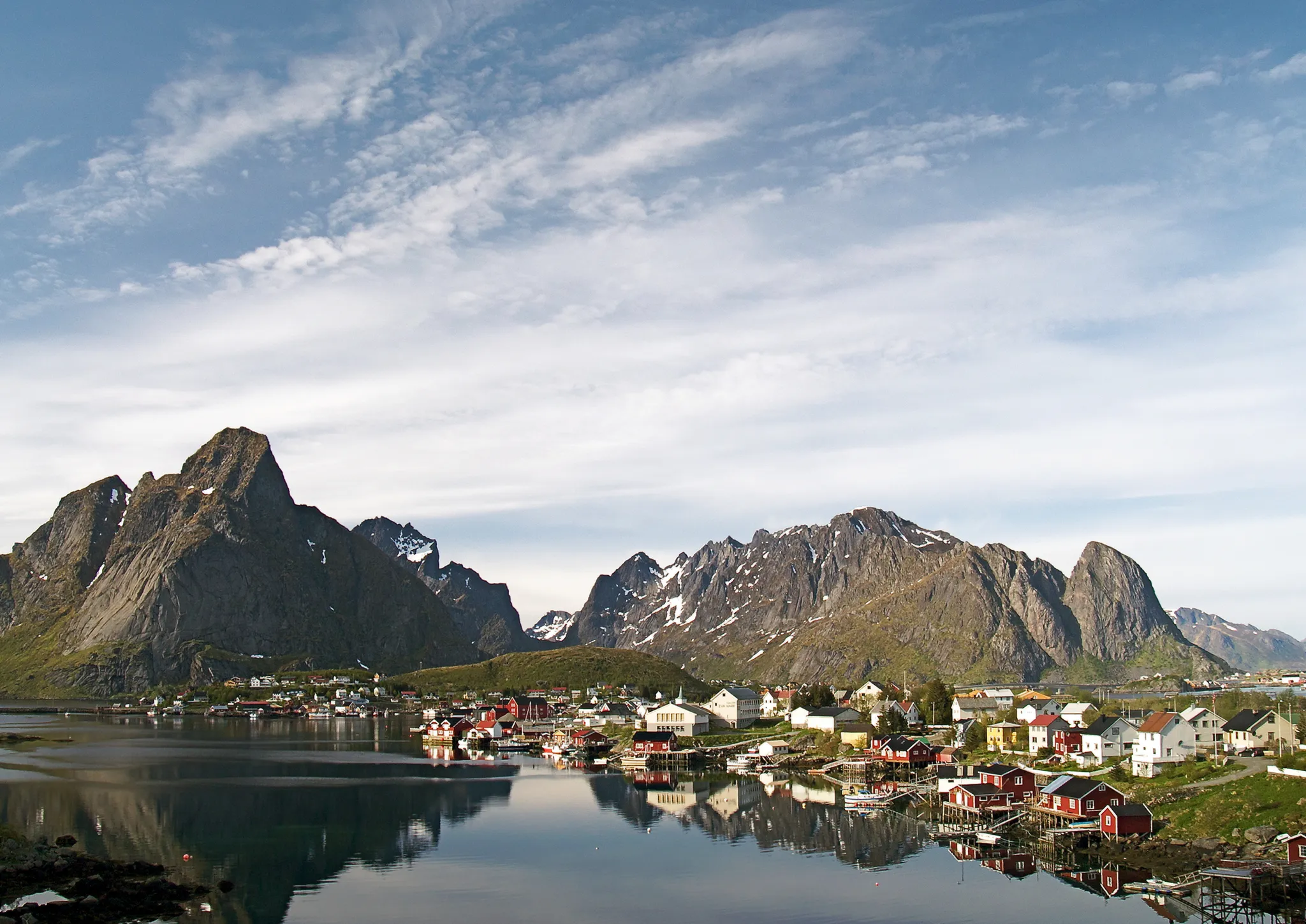
Red fishing huts beneath jagged peaks in the Arctic Lofoten islands.
Photo: Jörg Hempel / CC BY-SA 2.0 de, via Wikimedia Commons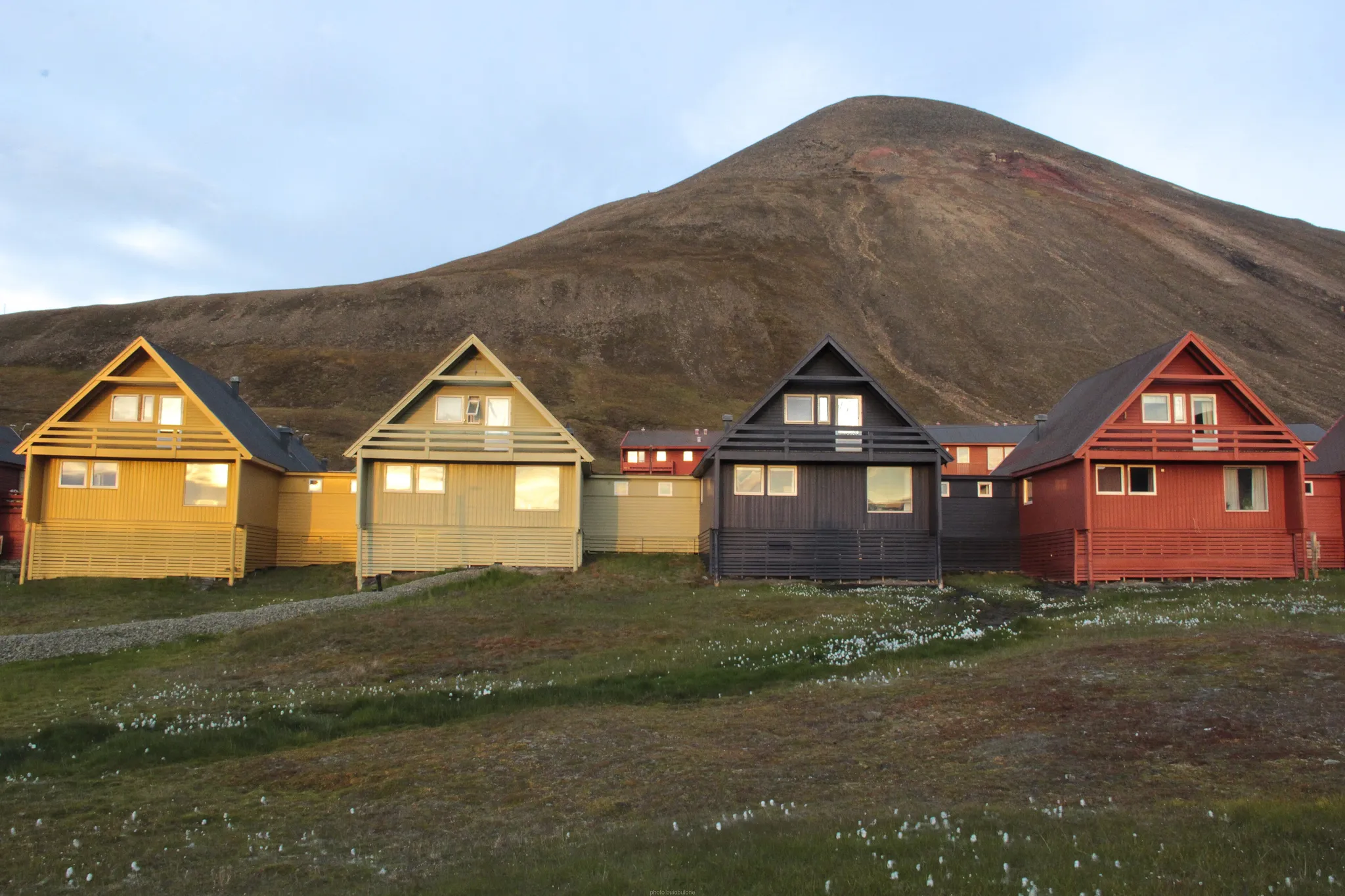
Colourful houses in one of the world's northernmost settlements.
Photo: Buiobuione / CC BY-SA 4.0, via Wikimedia Commons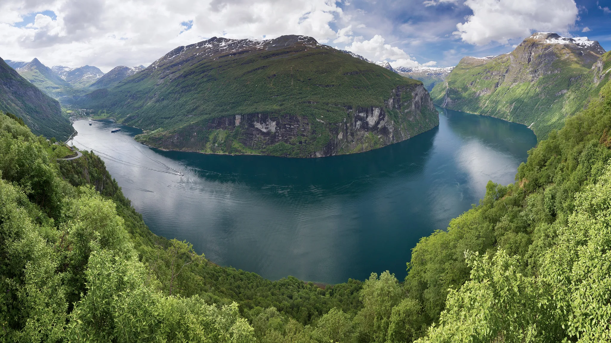
A deep blue fjord with waterfalls plunging down cliffs.
Photo: Ximonic (Simo Räsänen) / CC BY-SA 3.0, via Wikimedia Commons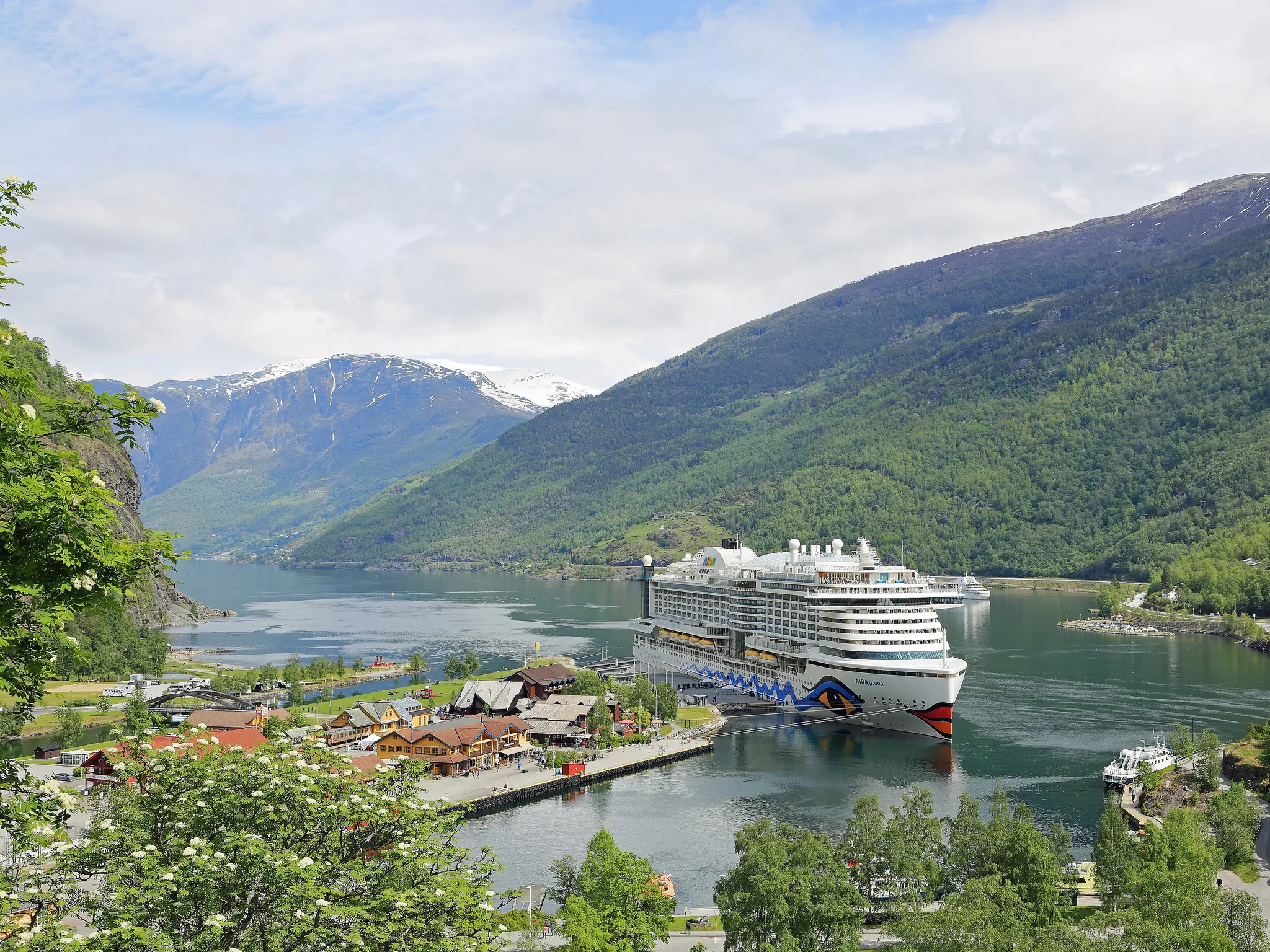
A tiny village at the head of a fjord, end of a mountain railway.
Photo: Martin Falbisoner / CC BY-SA 4.0, via Wikimedia Commons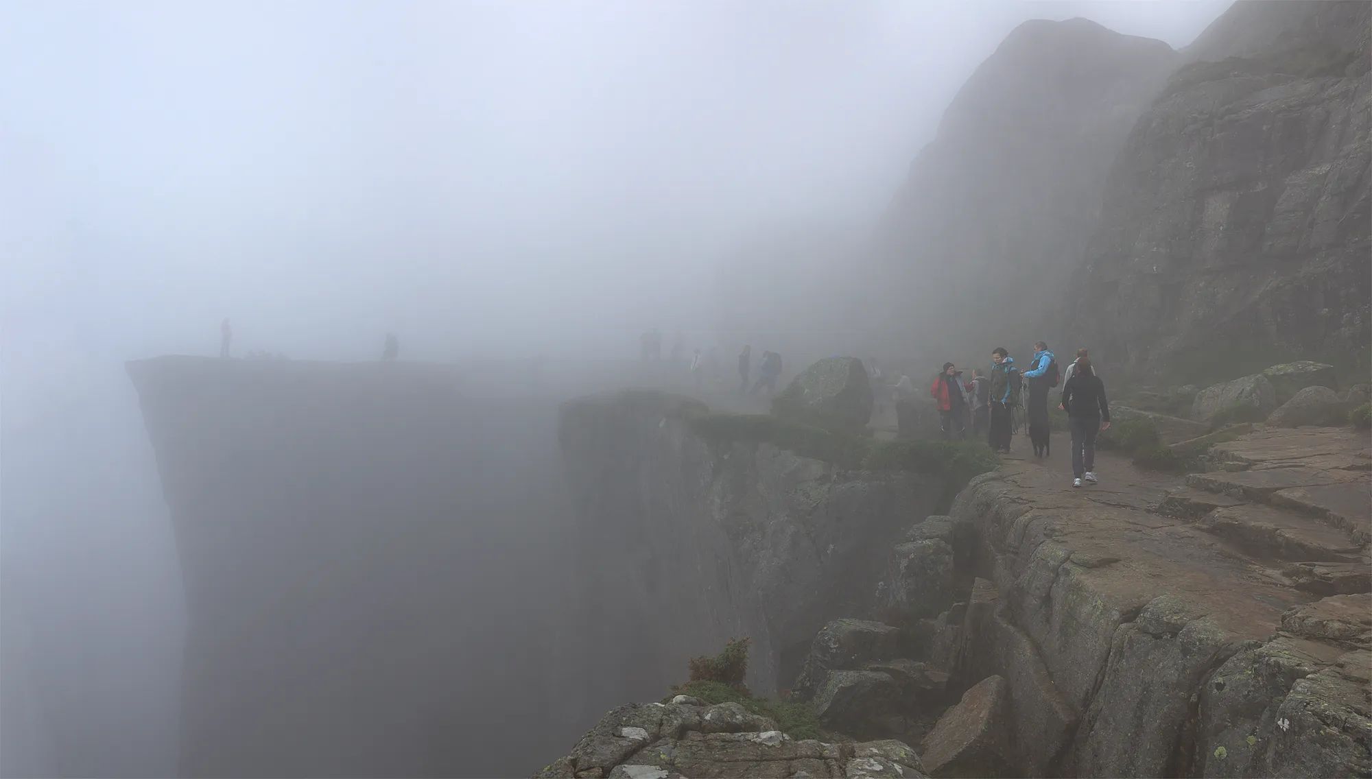
A flat cliff plateau 600 metres above a fjord.
Photo: Åsmund Heimark / CC BY 2.0, via Wikimedia Commons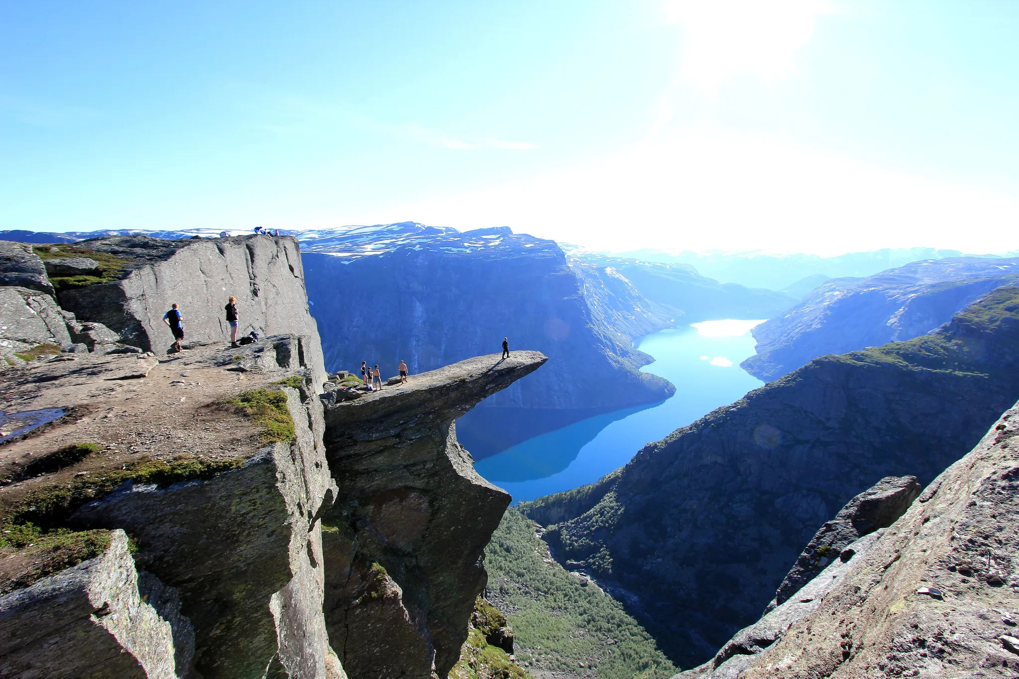
A thin rock tongue jutting out over a mountain lake.
Photo: Steinar Talmoen / CC BY-SA 3.0, via Wikimedia Commons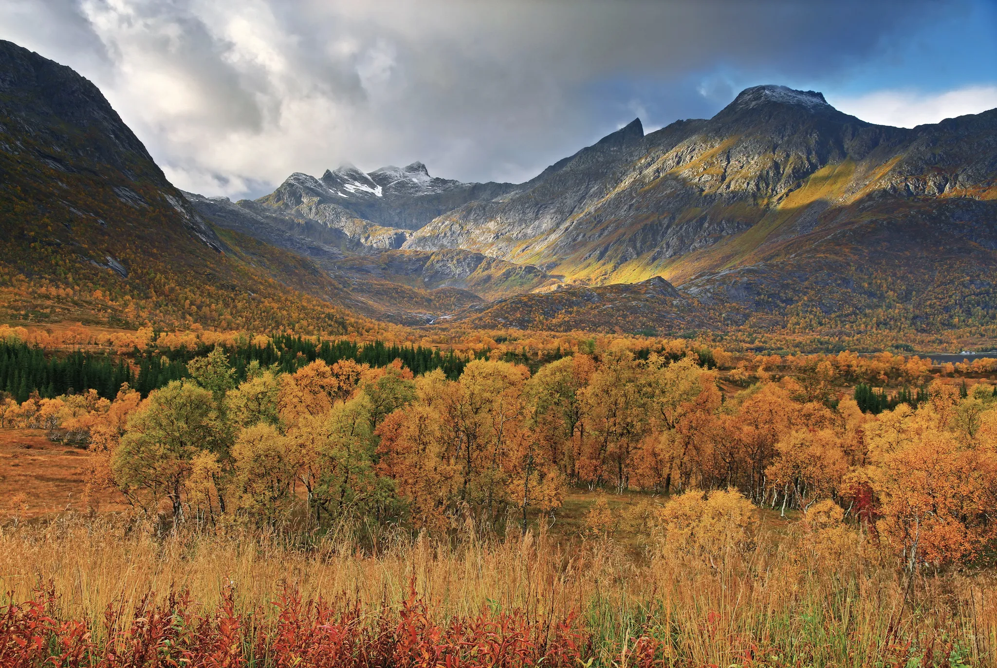
Norway's largest coastal island, with the Vesterålen and Lofoten peaks.
Photo: Ximonic (Simo Räsänen) / CC BY-SA 3.0, via Wikimedia Commons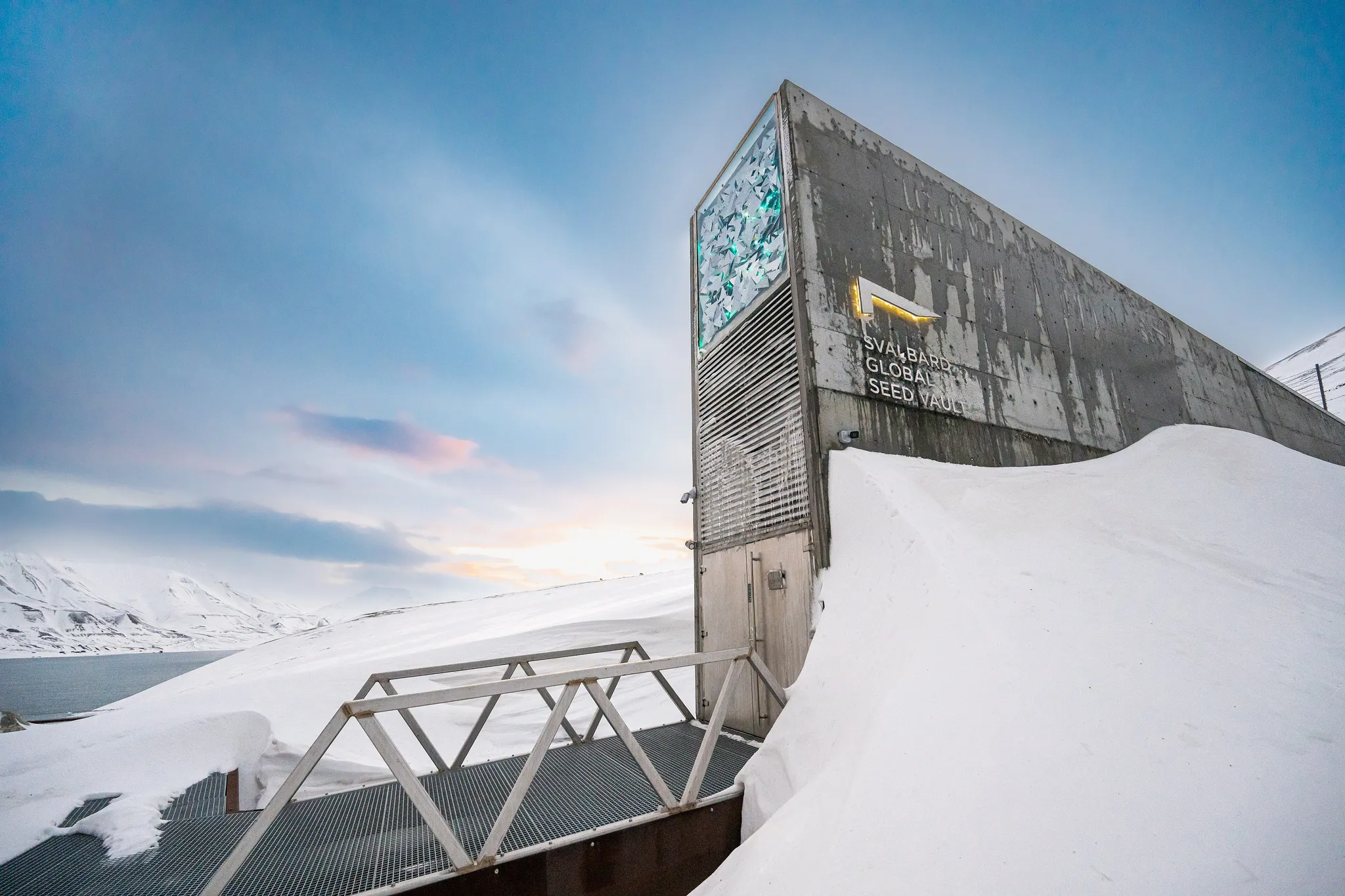
A backup vault for the world's crop seeds, dug into Arctic permafrost.
Photo: Michael Major for Crop Trust / CC BY-SA 2.0, via Wikimedia Commons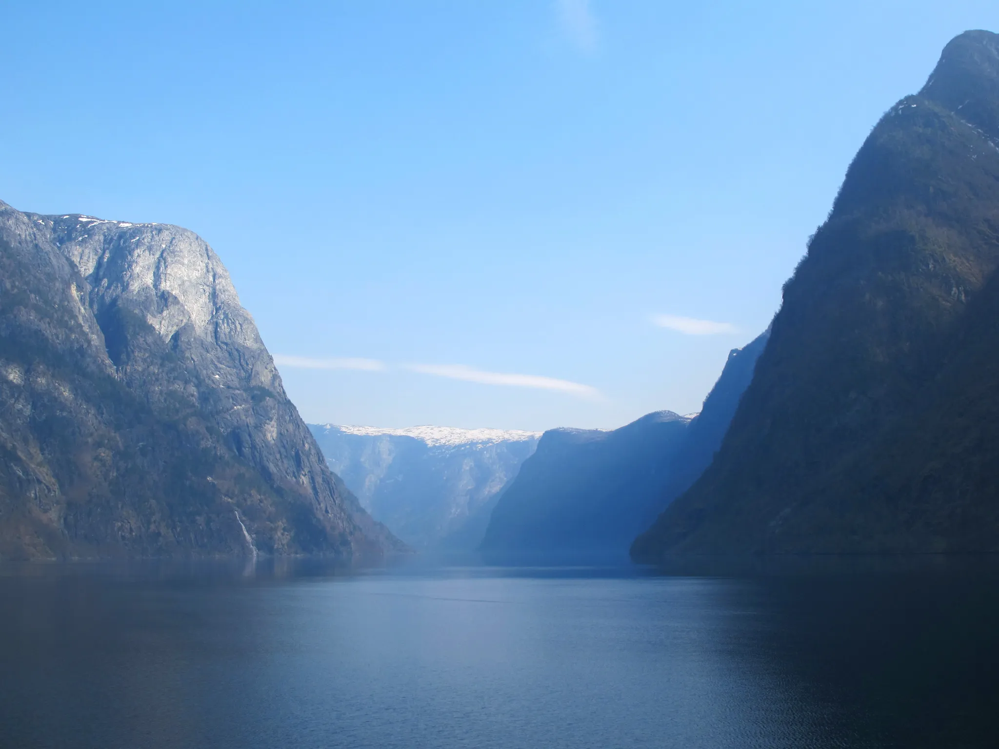
Norway's longest and deepest fjord, 205 km long and 1,300 metres deep.
Photo: Acediscovery / CC BY 4.0, via Wikimedia Commons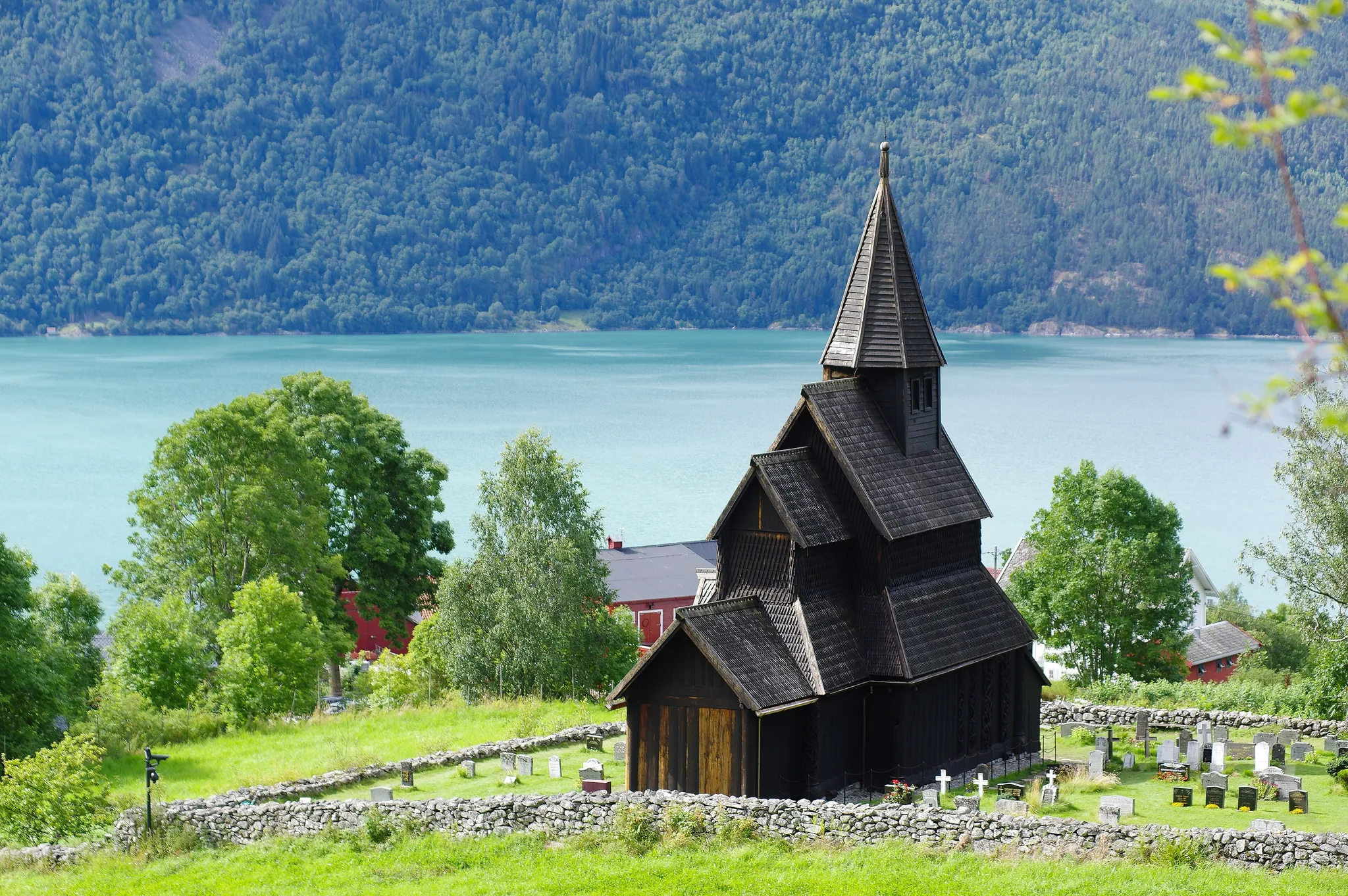
The oldest stave church in Norway, from around 1130, on a fjord shore.
Photo: Bjørn Erik Pedersen / CC BY-SA 4.0, via Wikimedia Commons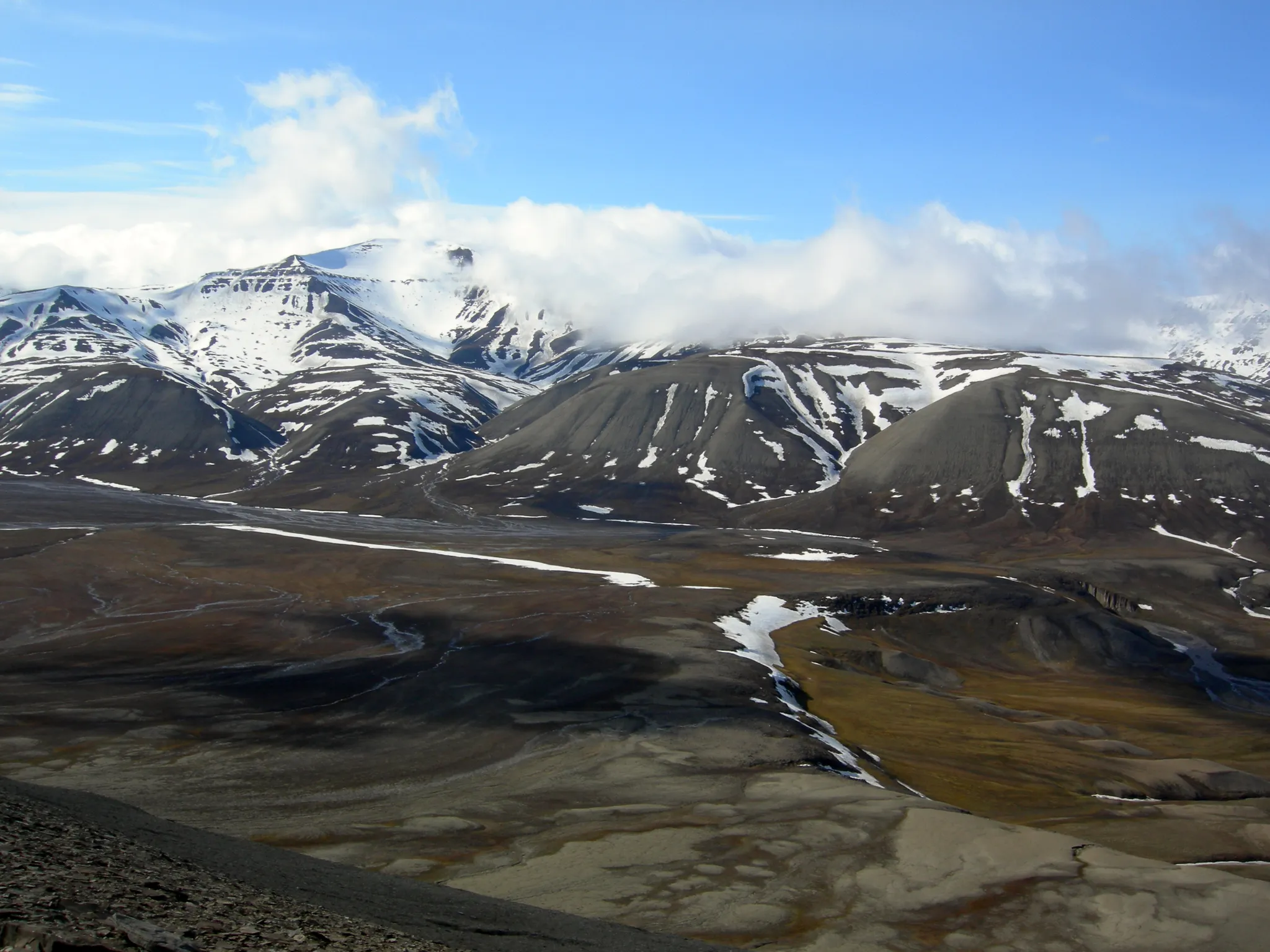
The largest island of Svalbard, land of polar bears and midnight sun.
Photo: Public domain, via Wikimedia Commons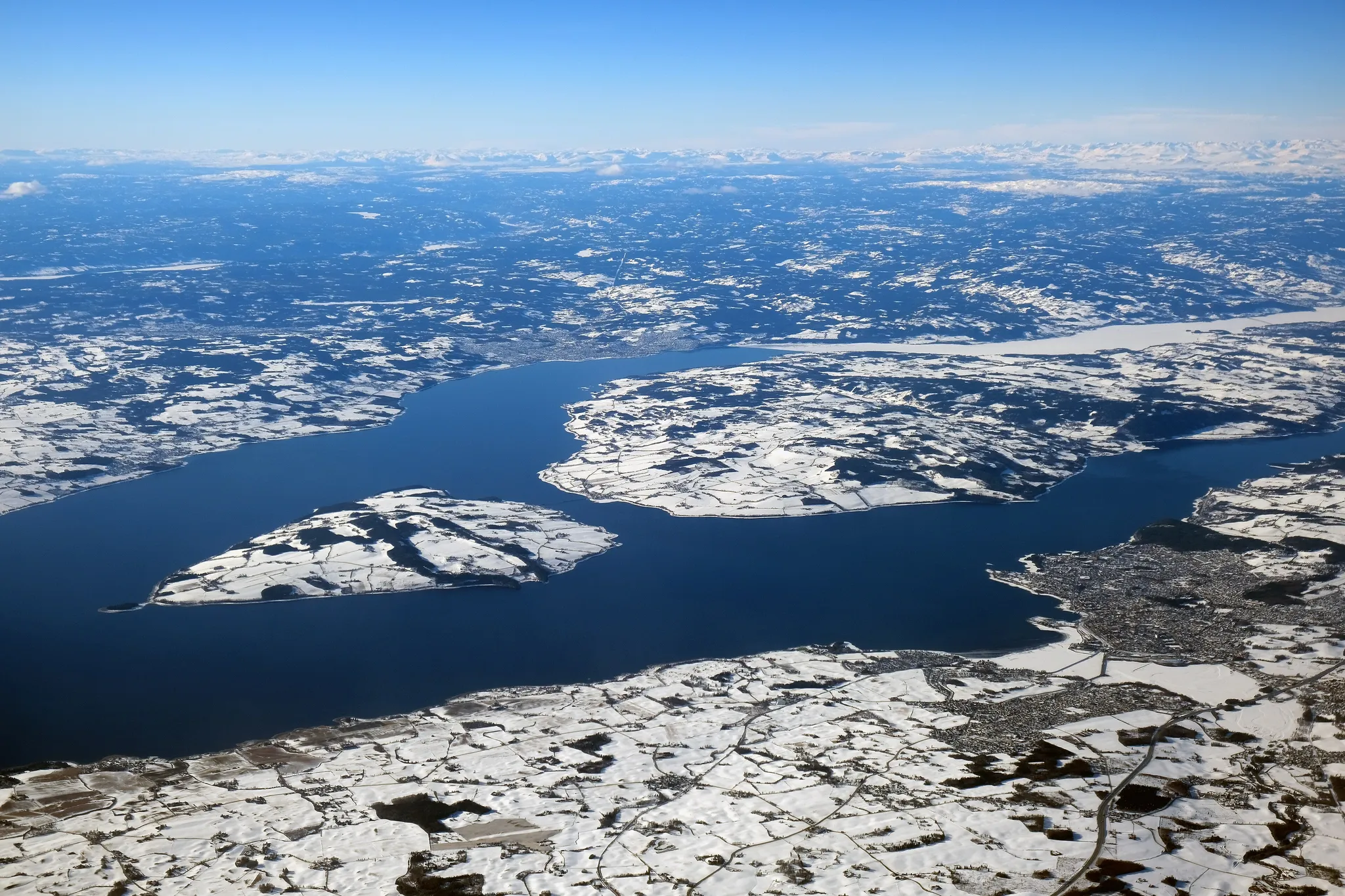
Norway's largest lake, sailed by the world's oldest paddle steamer still in service.
Photo: kallerna / CC BY-SA 4.0, via Wikimedia Commons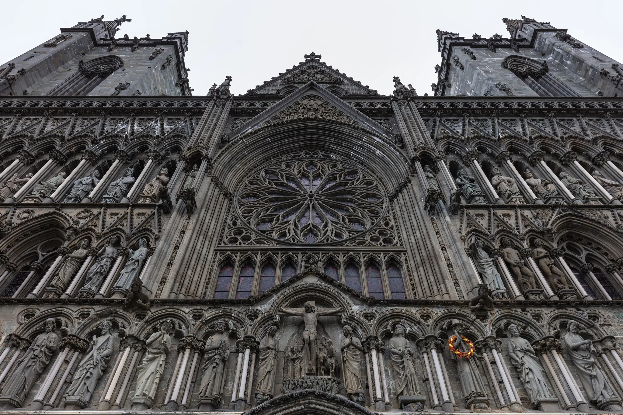
The northernmost medieval cathedral in the world, built over the grave of St Olav.
Photo: Diego Delso / CC BY-SA 4.0, via Wikimedia Commons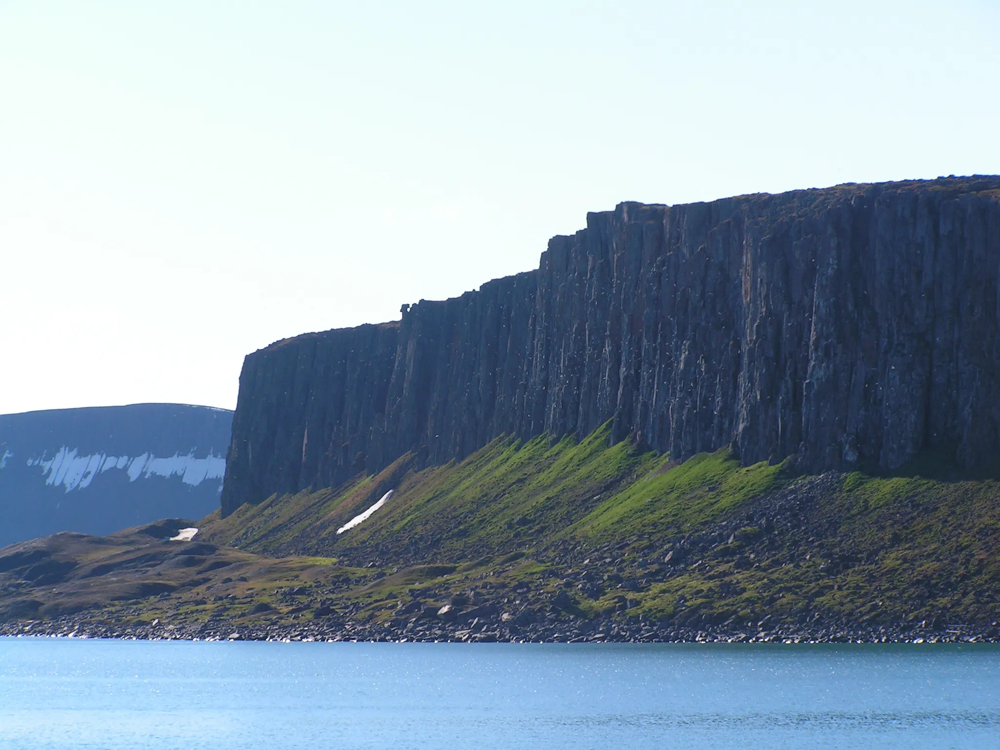
An uninhabited Svalbard island of glaciers and polar bears.
Photo: Hermanhi / CC BY-SA 3.0, via Wikimedia Commons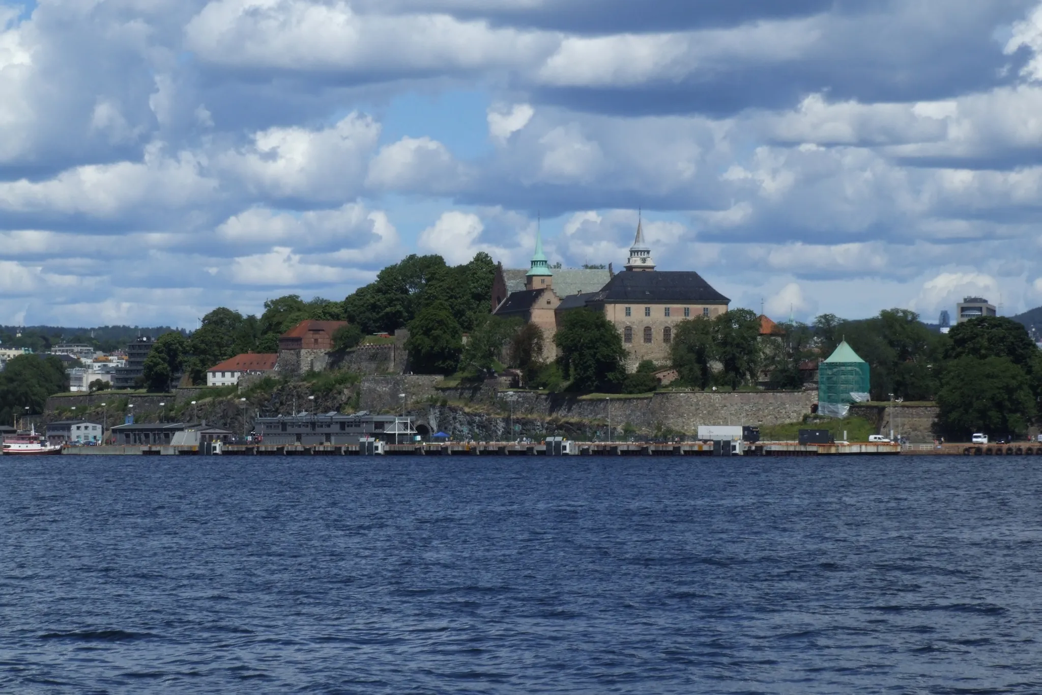
A medieval castle turned Renaissance palace guarding Oslo's harbour.
Photo: Pudelek (Marcin Szala) / CC BY-SA 4.0, via Wikimedia Commons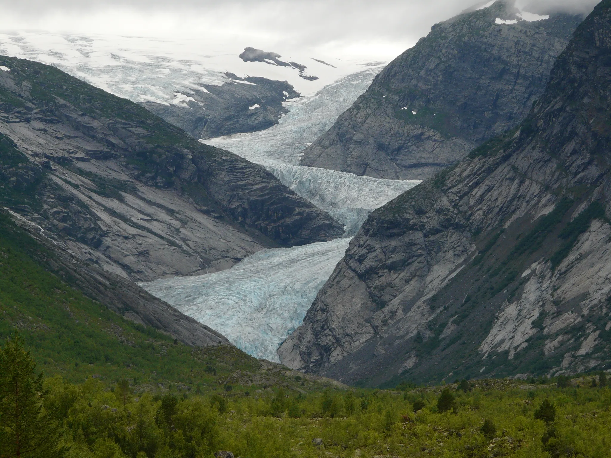
The largest glacier in mainland Europe, with blue tongues spilling into green valleys.
Photo: G.Lanting / CC BY 3.0, via Wikimedia Commons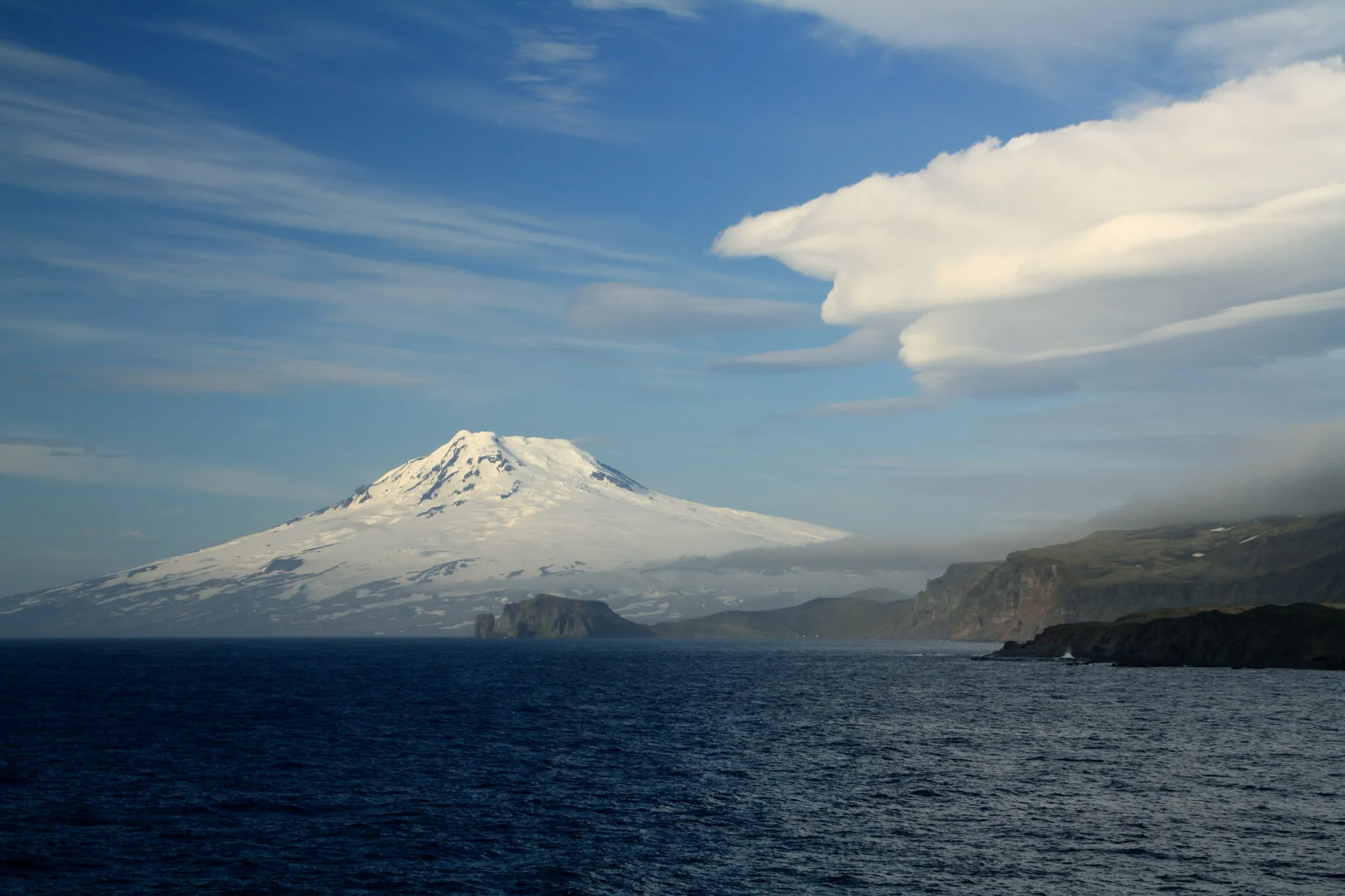
The world's northernmost active volcano, on the Arctic island of Jan Mayen.
Photo: Dreizung / CC BY-SA 3.0, via Wikimedia Commons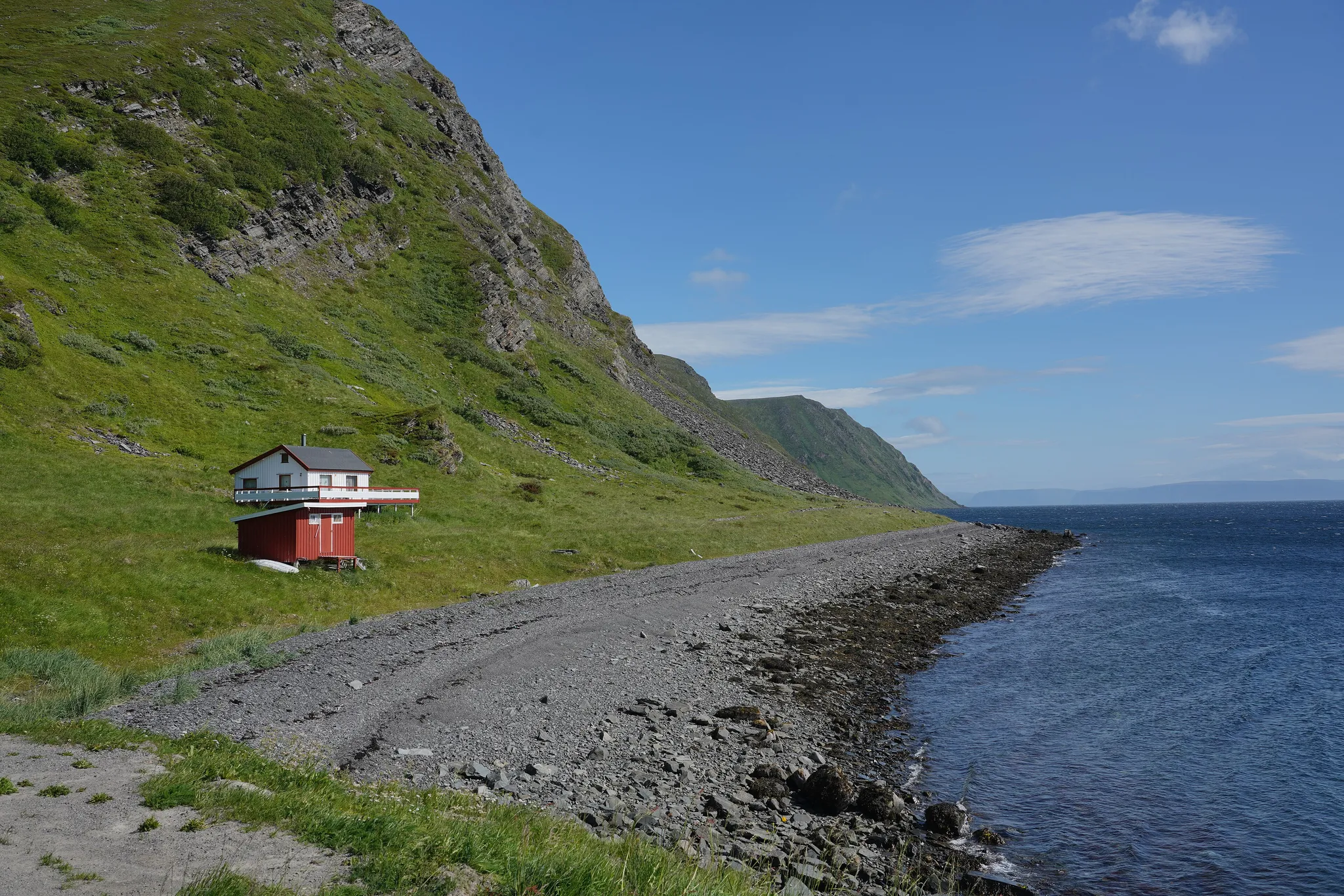
The Arctic island of the North Cape, Europe's northern edge.
Photo: Lukas Beck / CC BY 4.0, via Wikimedia Commons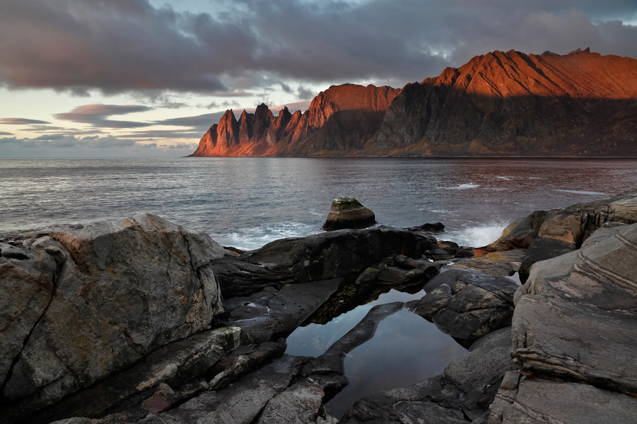
Norway's second largest island, jagged peaks rising straight from the Arctic sea.
Photo: Ximonic (Simo Räsänen) / CC BY-SA 3.0, via Wikimedia CommonsHow to place them
Beerenberg is as far north as it goes and Preikestolen as far south; 1,500 km separate them. Bergen, Flåm, Trolltunga, Sognefjord and two more are neighbours in the south-west; 120 km covers the lot. Beerenberg belongs to no group. Reine, Lofoten is the closest and it is 890 km away. Longyearbyen, Svalbard, Svalbard Global Seed Vault, Spitsbergen and Barentsøya appear in the cards but not on the map, and the round skips them.
Bergen, Reine, Lofoten and Preikestolen are rated hard, and eleven of the 20 are at that level or above. Spitsbergen is where the points come back. Longyearbyen, Svalbard is the expert round. You get 200 km of grace on Longyearbyen, Svalbard, more than on anything else in Norway. Akershus Fortress is a medieval castle turned Renaissance palace guarding Oslo's harbour.
Norway is one country. The daily draws from all 167.
Play the daily in the appQuestions & answers
How many locations does Norway get?
There are 20 (four are off the mainland map), spanning Spitsbergen to Preikestolen. Five come up per round.
Which Norway location is rated hardest?
Only Longyearbyen, Svalbard is rated expert. A 277 km miss on it, past the radius, cuts the score in half.
Which Norway photo forgives the widest miss?
Longyearbyen, Svalbard. Its radius is 200 km, the widest here; a pin within it takes the full 5,000.