Photo location game · Europe
Poland landmarks quiz: guess where 19 photos were taken
Poland in 19 photographs, each pinned to the map with a line of context. Five are dealt per round.
★ 4.7 on Google Play· 60 ratings· 500+ downloads· Free
Five Poland photos. For each one, tap the spot on the map and see how far off you were.
Tap the map where you think this is
Where they are
19 on the mapAll 19 places
by id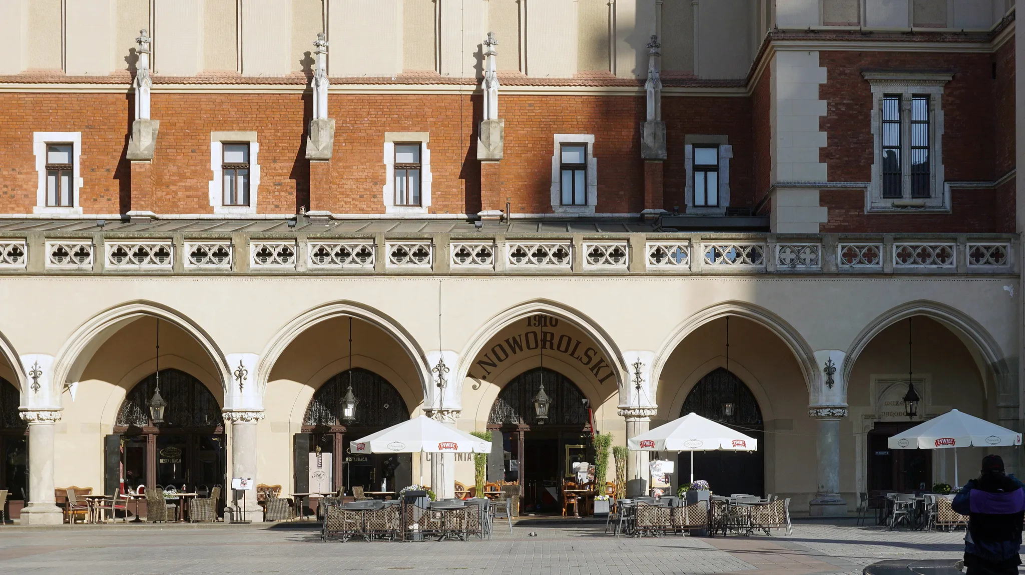
Europe's largest medieval square with the Cloth Hall.
Photo: Igor123121 / CC BY-SA 4.0, via Wikimedia Commons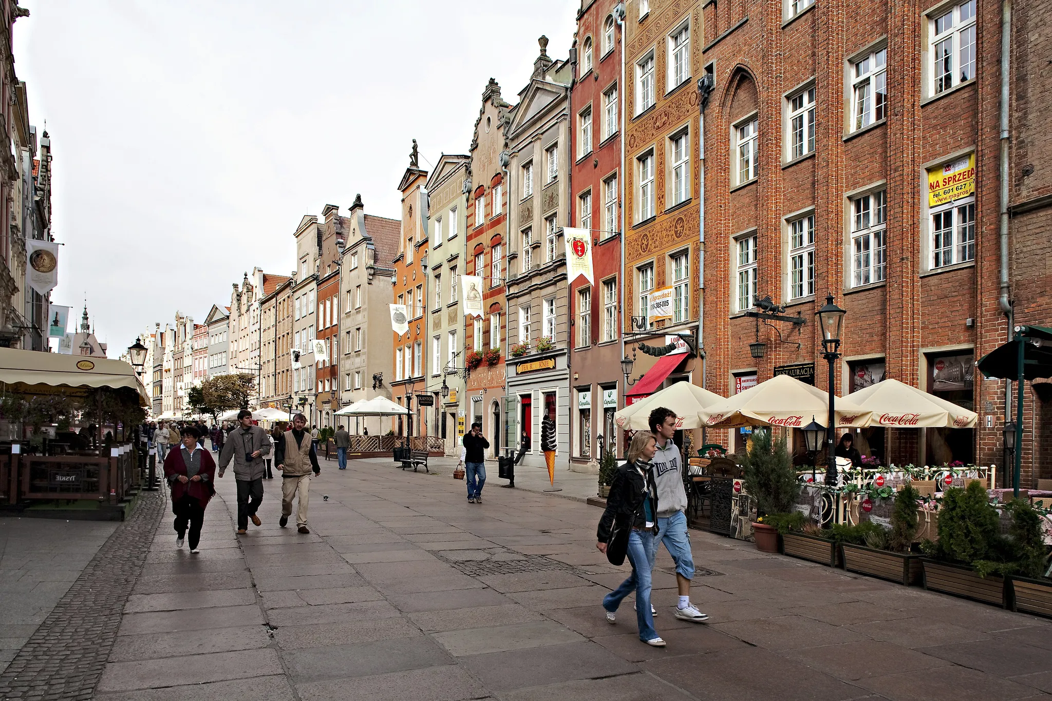
Tall, ornate merchant houses on a Baltic trading street.
Photo: Richardmaackphotography / CC BY 4.0, via Wikimedia Commons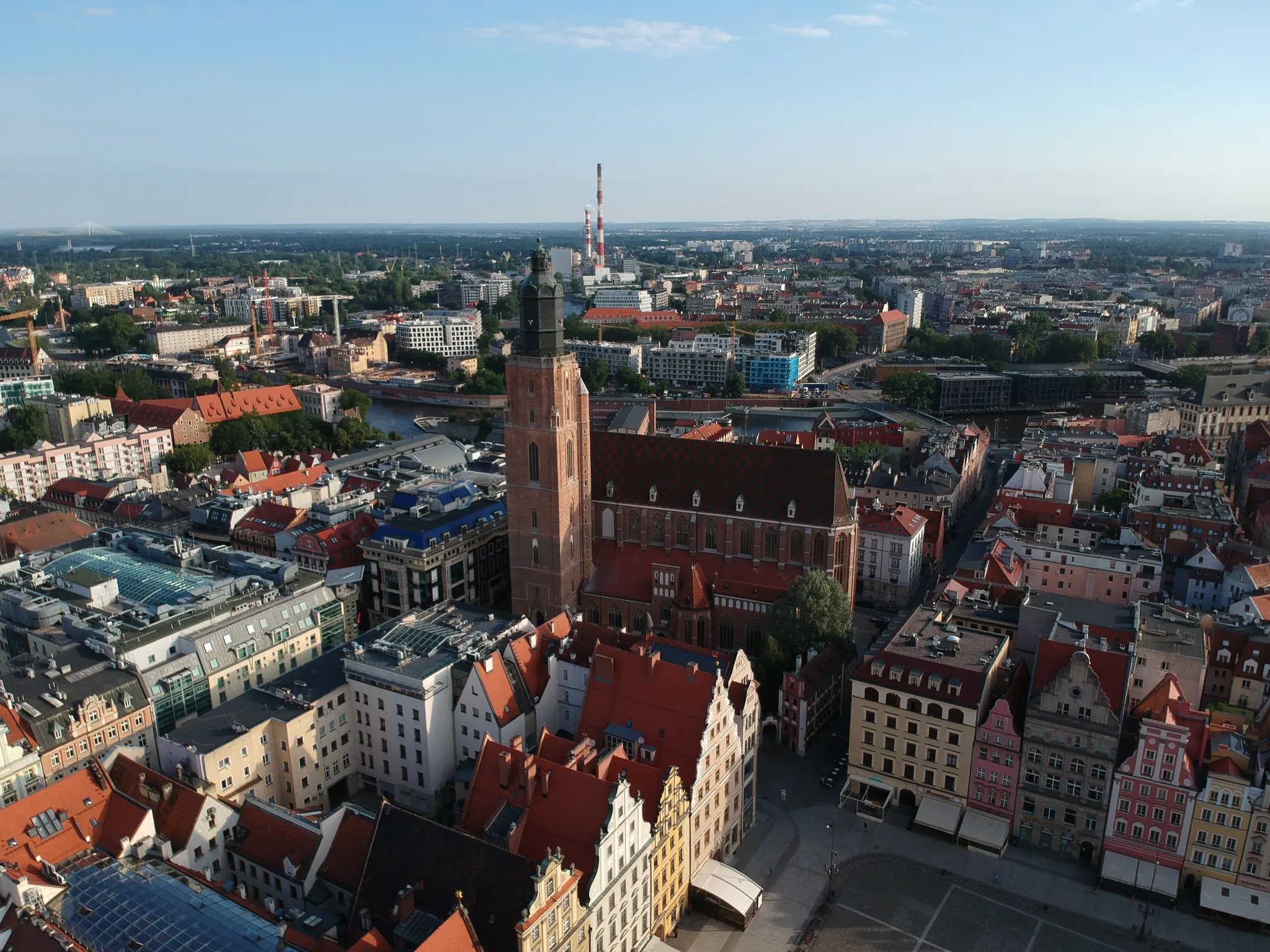
A colourful market square built across river islands.
Photo: Maksym Kozlenko / CC BY-SA 4.0, via Wikimedia Commons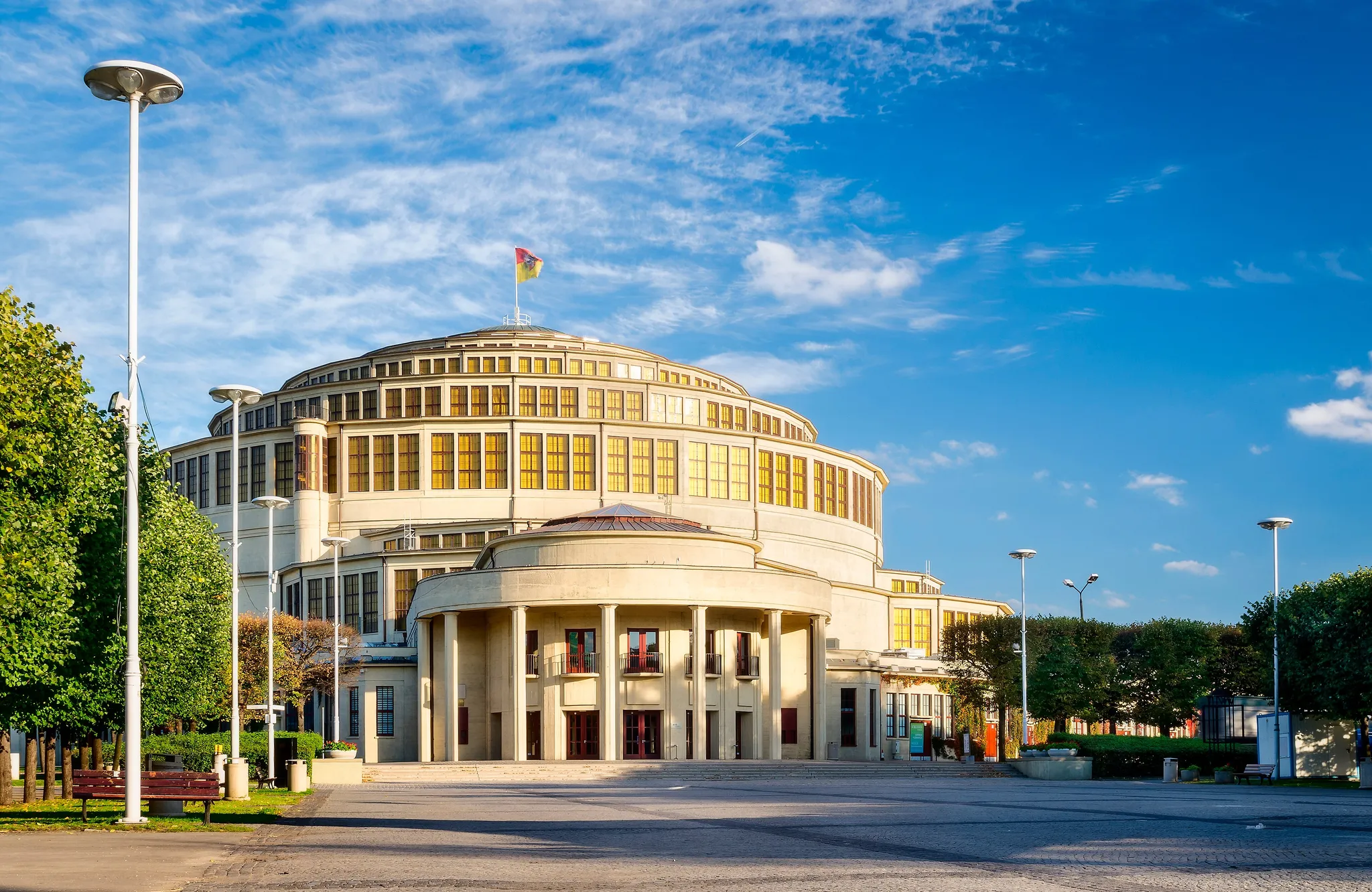
A pioneering reinforced-concrete dome from 1913, once the largest in the world.
Photo: Jar.ciurus / CC BY-SA 3.0 pl, via Wikimedia Commons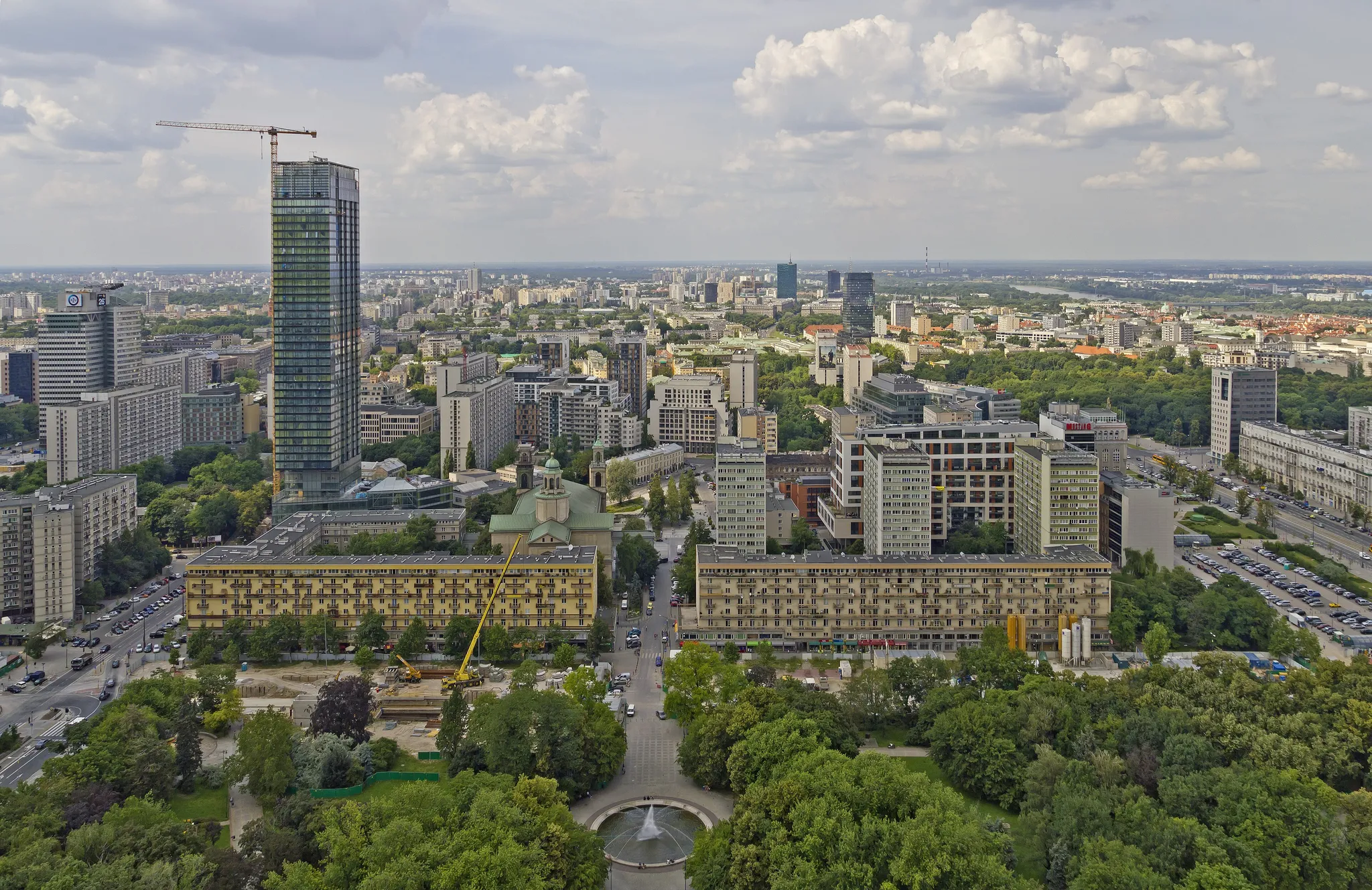
Warsaw's Stalinist skyscraper, a 1955 gift from the Soviet Union.
Photo: A.Savin / CC BY-SA 3.0, via Wikimedia Commons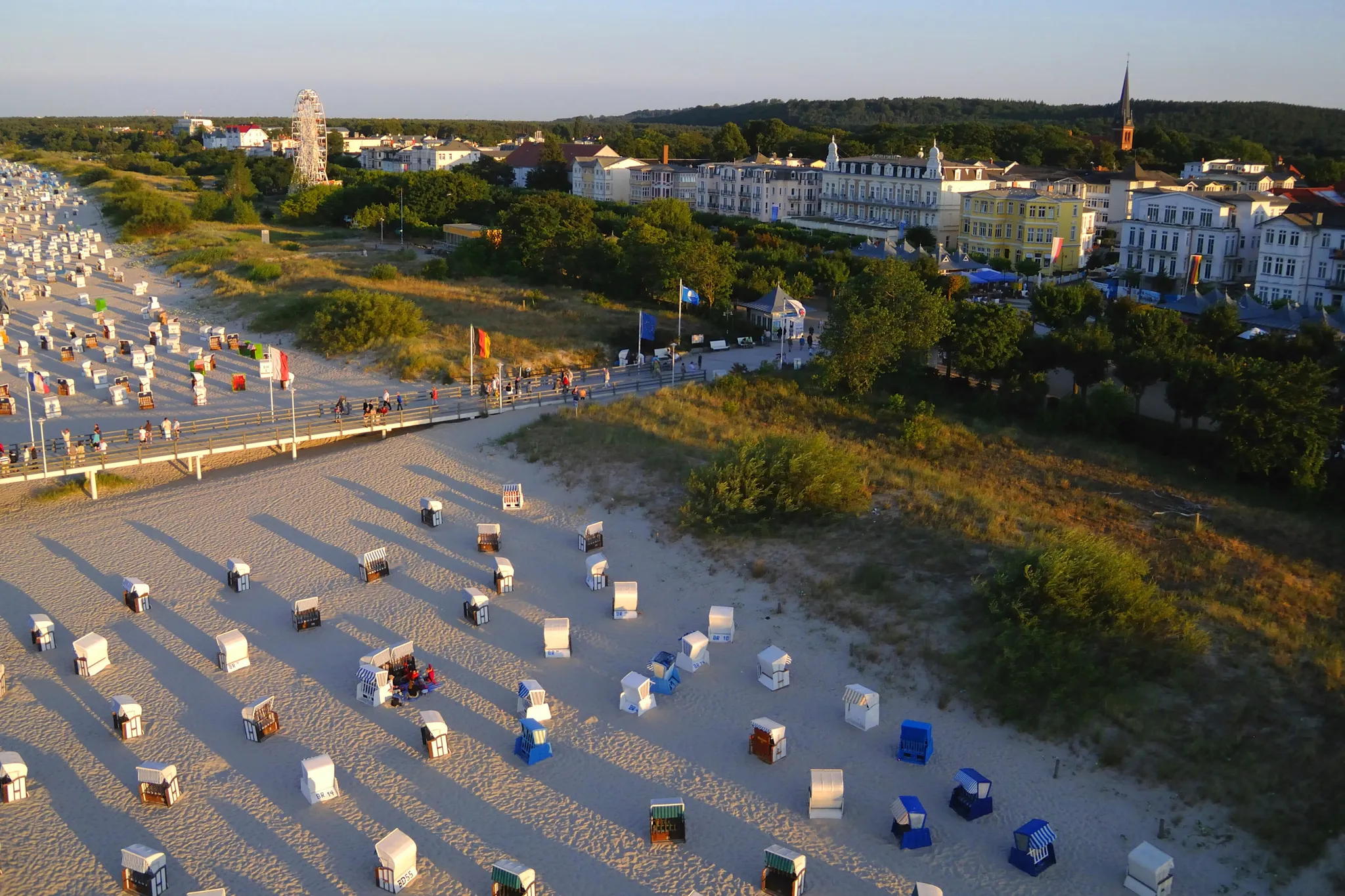
A Baltic island of long sandy beaches, shared by Germany and Poland.
Photo: Zeppelubil / Th. Haft, from Torgau / Elbe, Germany / CC BY-SA 3.0, via Wikimedia Commons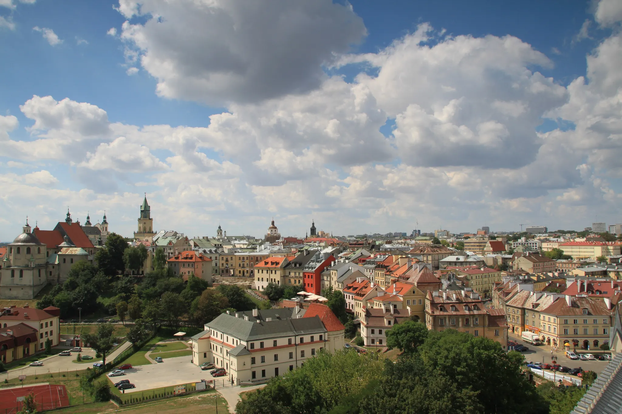
Eastern Poland's largest city, with a Renaissance old town and a royal castle.
Photo: Pankrzysztoff / CC BY-SA 3.0 pl, via Wikimedia Commons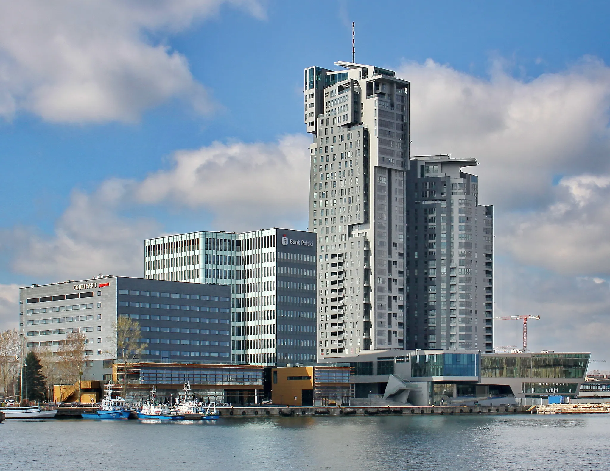
A modernist port city built from nothing in the 1920s to give Poland a harbour.
Photo: Kontrola / CC BY-SA 4.0, via Wikimedia Commons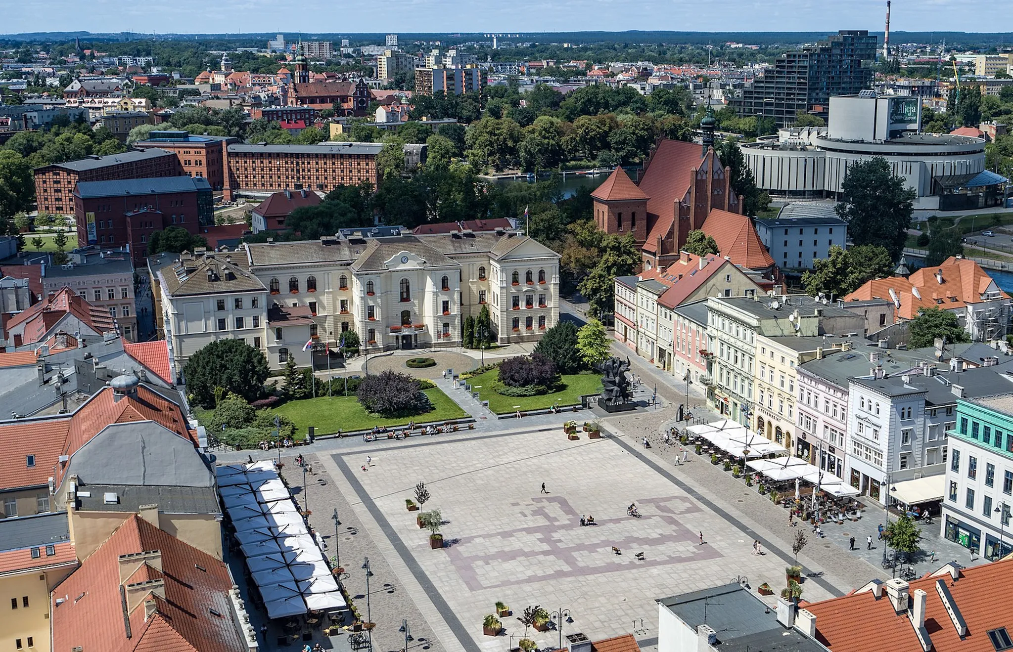
A Polish river city with granaries on the Brda and a tightrope-walker statue.
Photo: Jan Paweł Bochen / CC BY 4.0, via Wikimedia Commons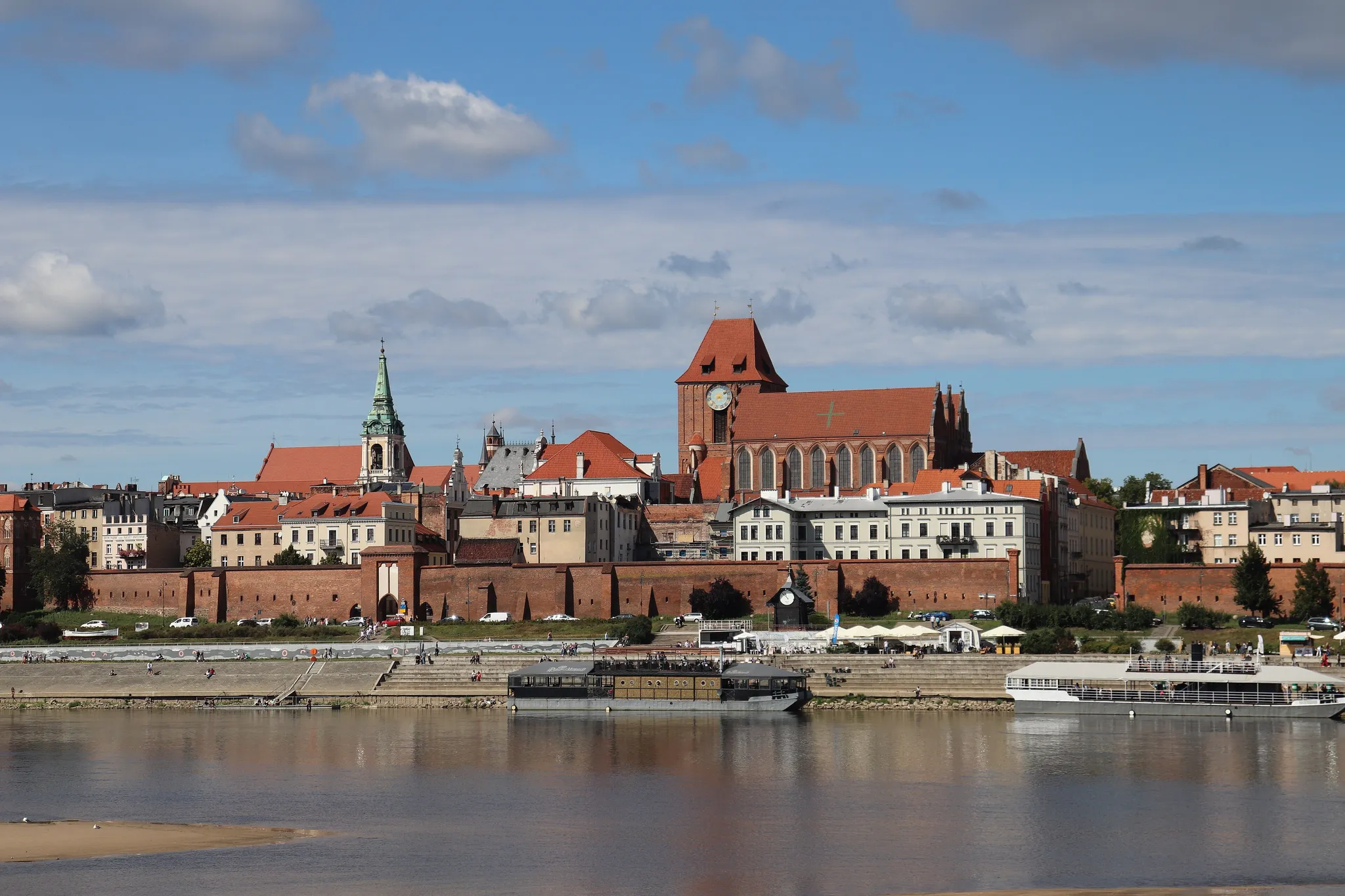
Copernicus's birthplace, a red-brick Gothic old town on the Vistula.
Photo: Andrzej Otrębski / CC BY-SA 4.0, via Wikimedia Commons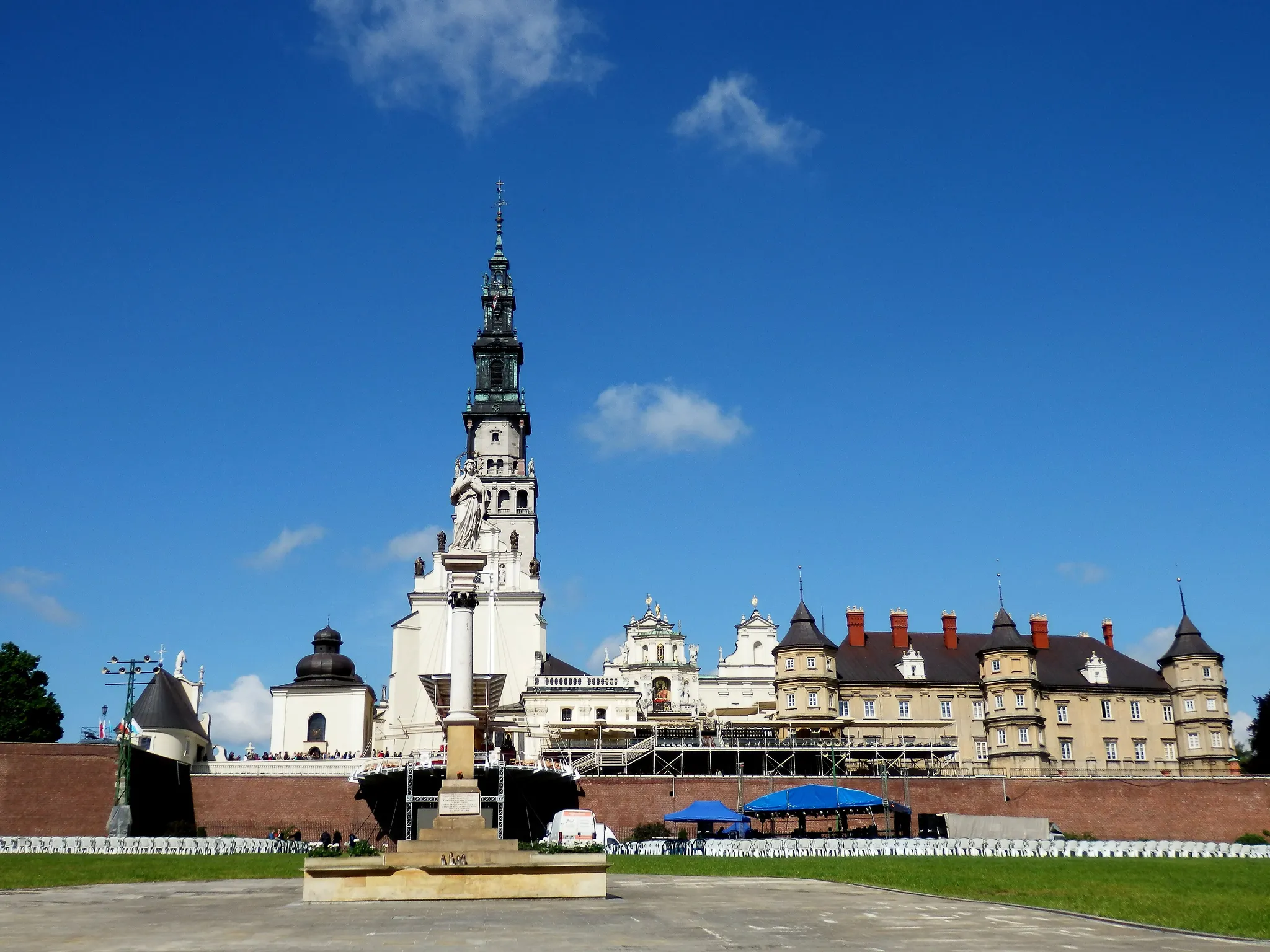
Poland's holiest shrine, home of the Black Madonna icon.
Photo: Ebielmaj / CC BY-SA 3.0 pl, via Wikimedia Commons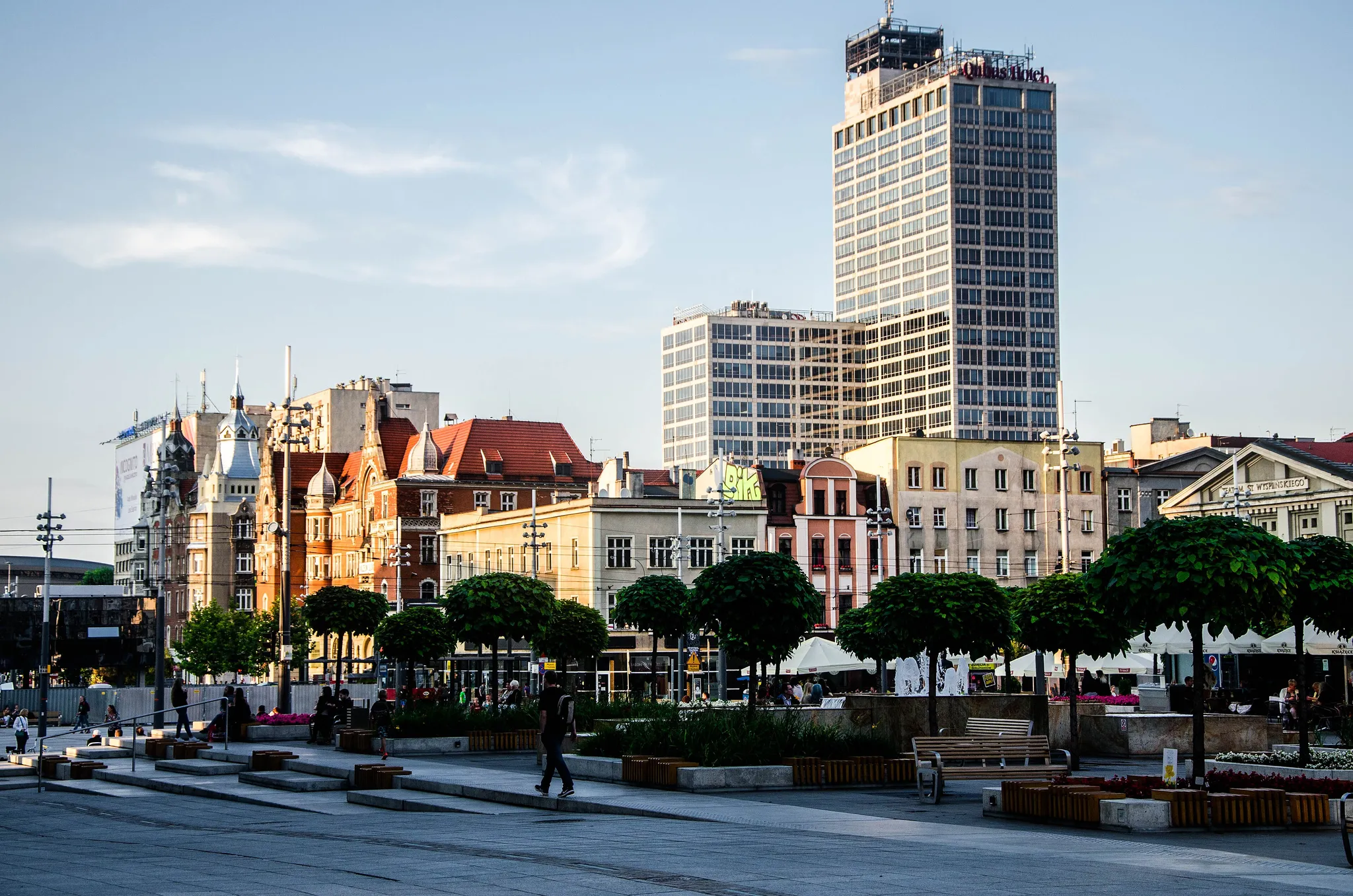
The heart of Poland's coal region, now a UNESCO City of Music.
Photo: Thepoweroflight / CC BY-SA 4.0, via Wikimedia Commons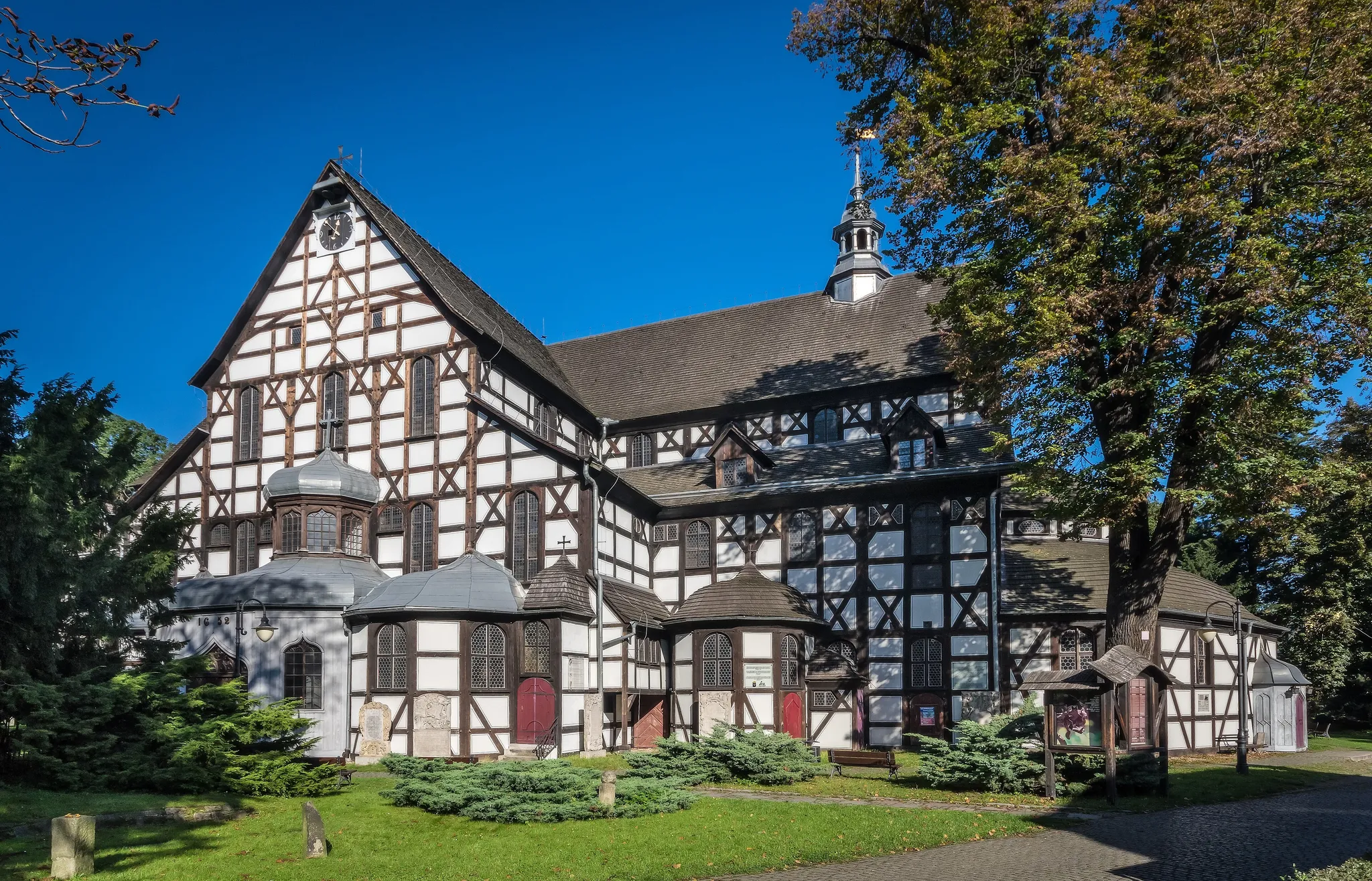
The largest timber-framed churches in Europe, built in 1650s without stone or nails.
Photo: Jar.ciurus / CC BY-SA 3.0 pl, via Wikimedia Commons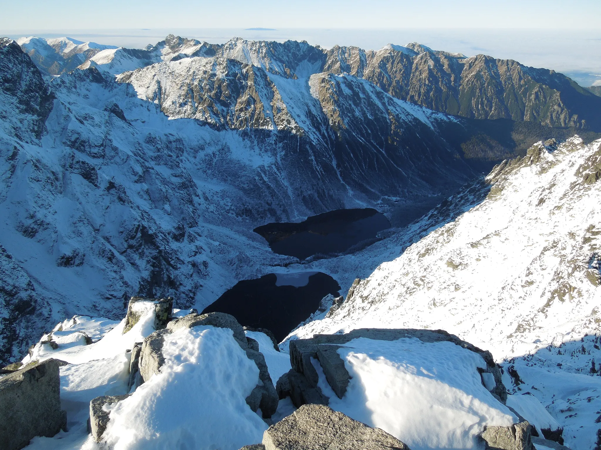
Poland's highest peak at 2,499 metres, on the Slovak border in the High Tatras.
Photo: Milan Bališin / CC BY-SA 4.0, via Wikimedia Commons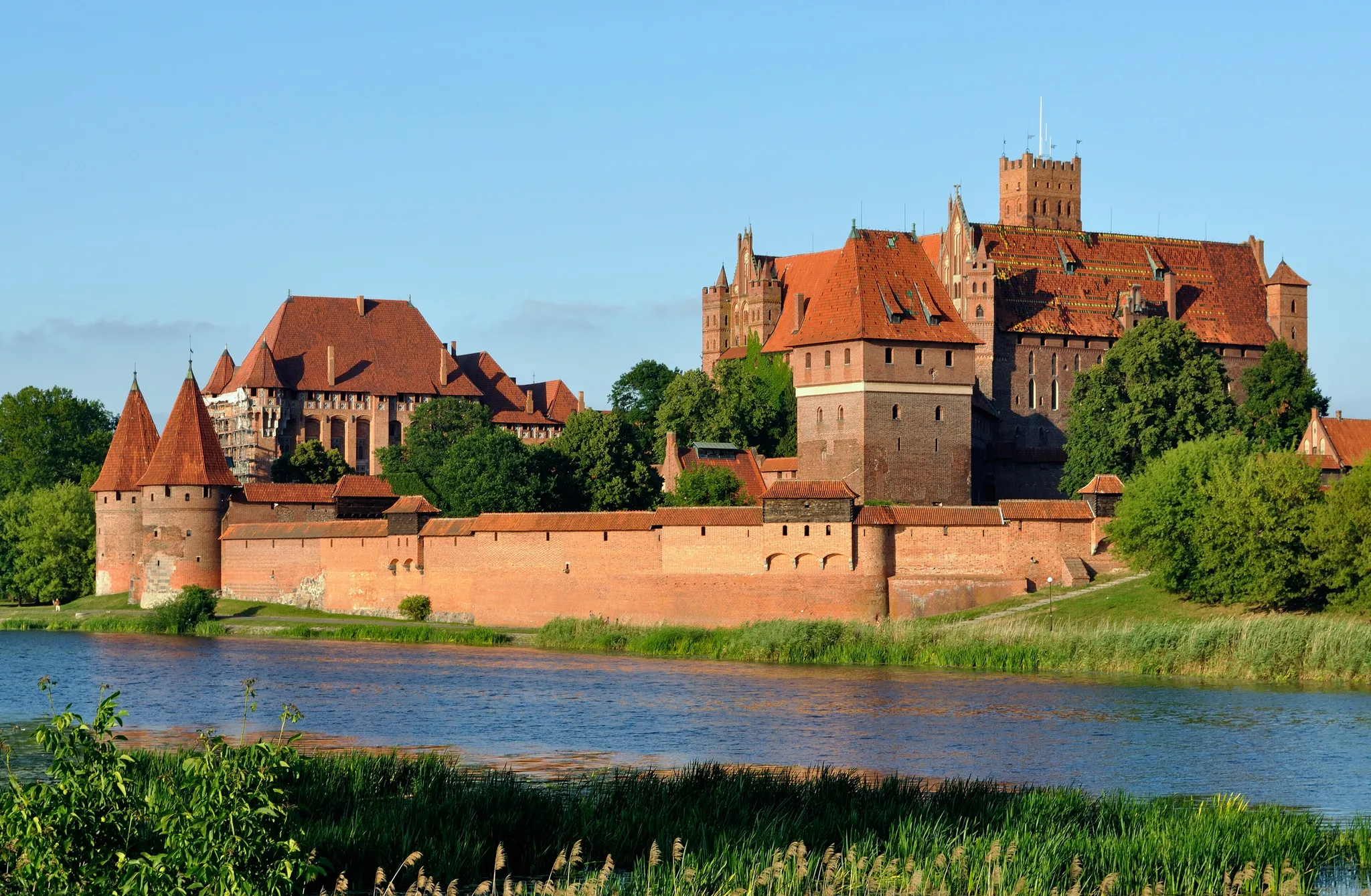
The largest castle in the world by area, brick headquarters of the Teutonic Knights.
Photo: DerHexer; derivate work: Carschten / CC BY-SA 3.0, via Wikimedia Commons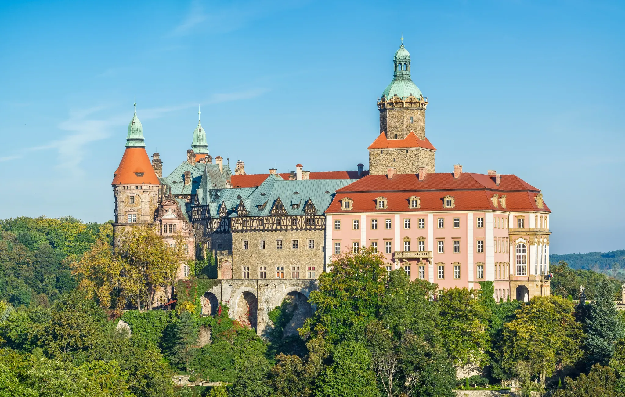
The largest castle in Silesia, on a rock above a gorge, with Nazi tunnels beneath.
Photo: Jar.ciurus / CC BY-SA 3.0 pl, via Wikimedia Commons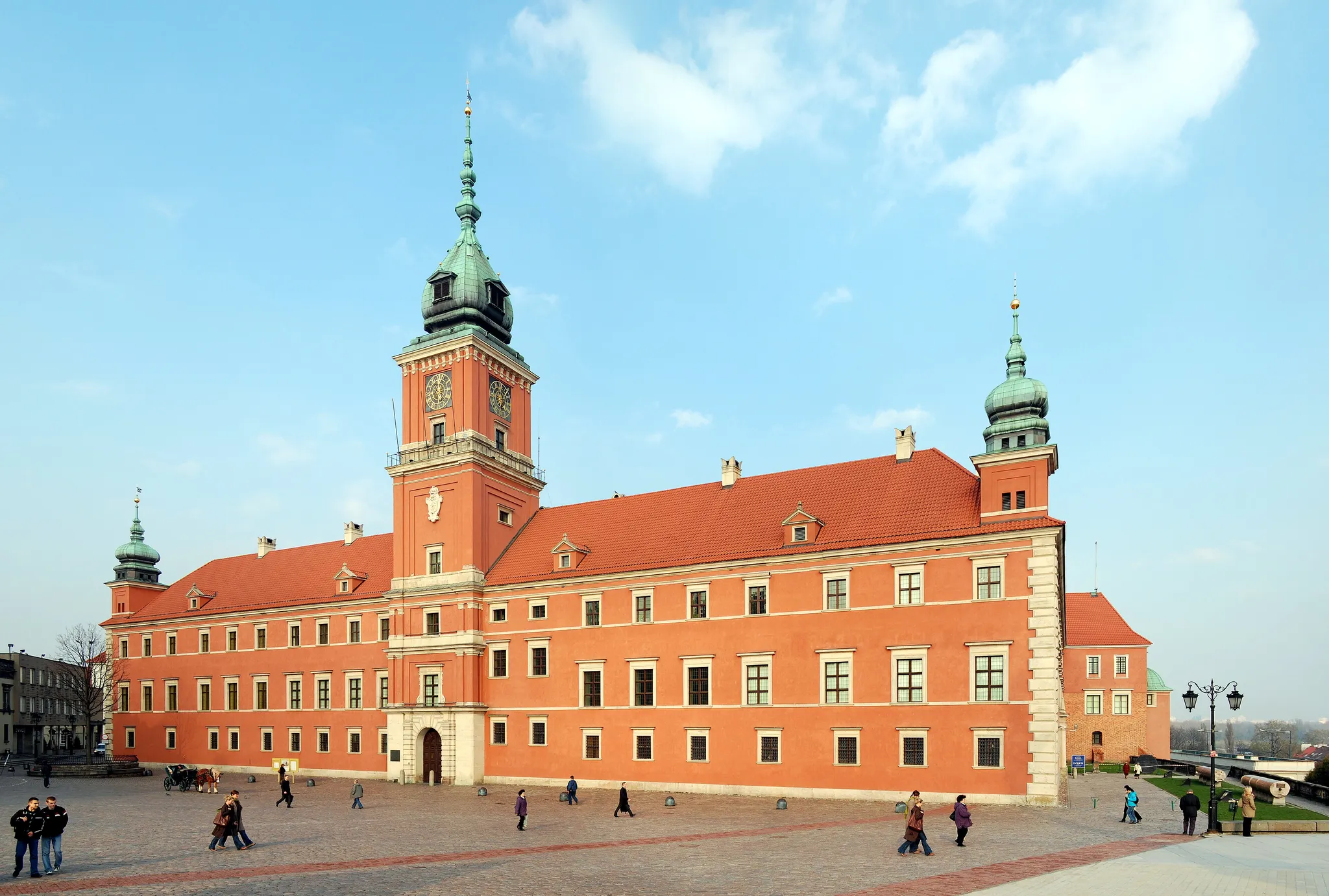
The Polish kings' castle, rebuilt brick by brick after its destruction in 1944.
Photo: Marcin Białek / CC BY-SA 3.0, via Wikimedia Commons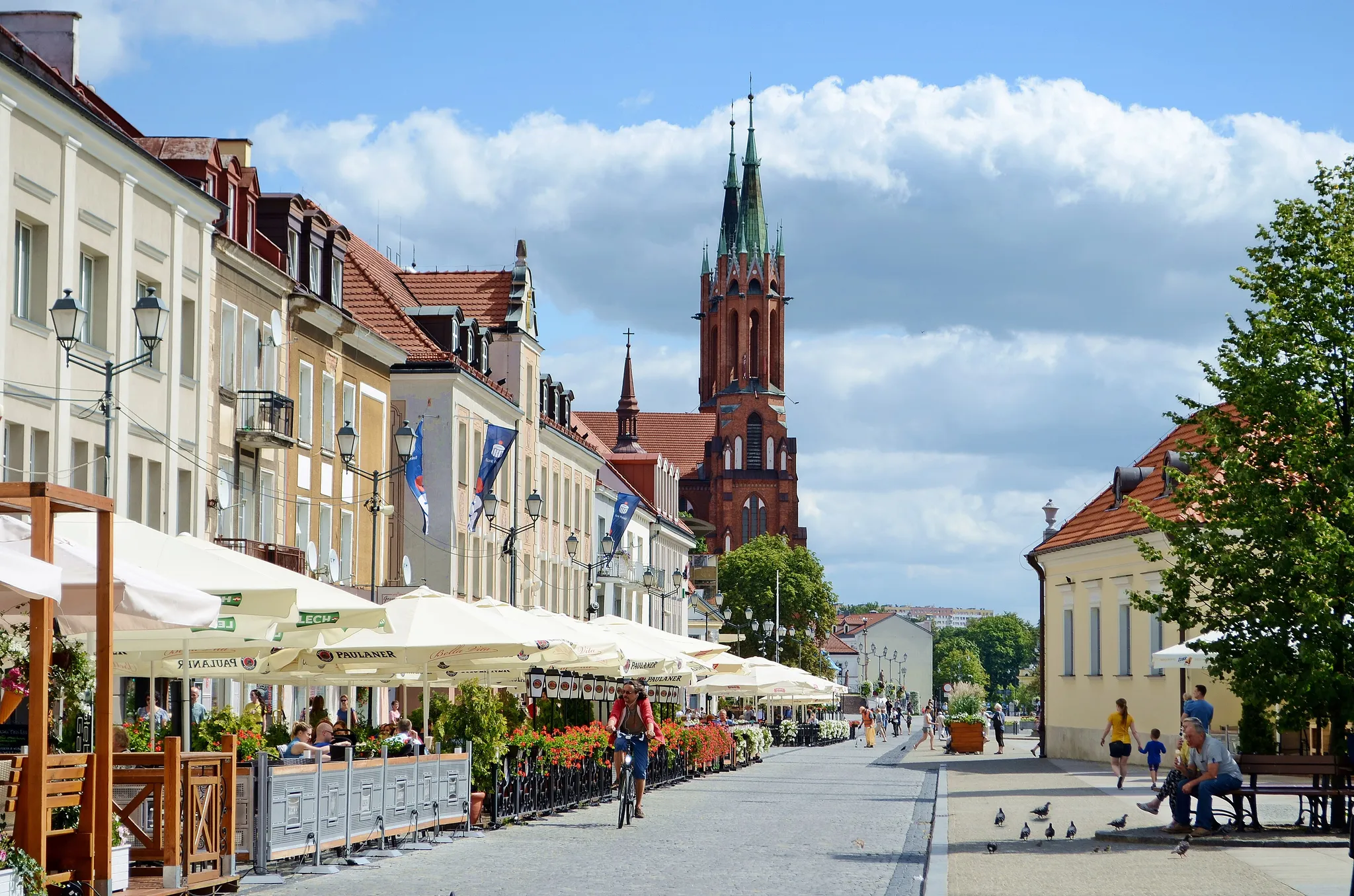
Eastern Poland's largest city, with a baroque palace called the 'Versailles of Podlasie'.
Photo: Emilia Ernst / CC BY-SA 4.0, via Wikimedia Commons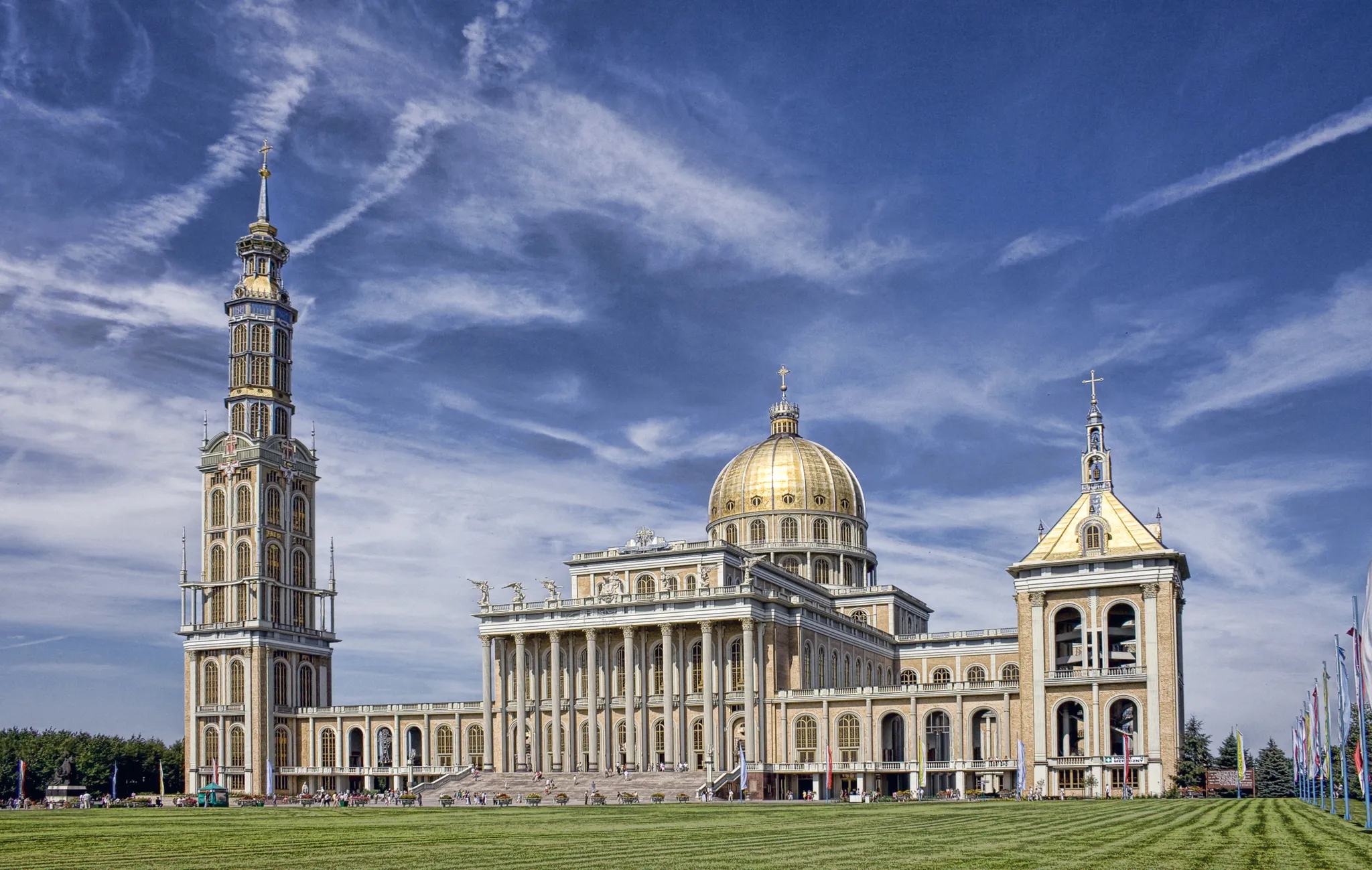
Poland's largest church, a 1990s basilica with a 141-metre tower in a village.
Photo: Czechu81 / CC BY-SA 4.0, via Wikimedia CommonsHow to place them
610 km of longitude: Usedom at one end of Poland's 19 places, Białystok at the other. Four pins for the price of one in the south-west: Old Town, Wrocław, Centennial Hall, Churches of Peace and Książ Castle and park complex. 270 km separate Usedom from Bydgoszcz, and nothing is closer.
Usedom and Katowice are gentle. Gdynia and Bydgoszcz are not. The rest are medium. Centennial Hall is a pioneering reinforced-concrete dome from 1913, once the largest in the world.
Poland is one country. The daily draws from all 167.
Play the daily in the appQuestions & answers
How many places in Poland are in the game?
19 places. Gdynia is the top of the map and Rysy the bottom.
Which photo from Poland is the hardest?
Gdynia, Bydgoszcz and Toruń, with four others. Rated hard, so 451 km past the radius leaves 2,500 of the 5,000.
Which one is easiest to score full points on?
Usedom, which forgives 60 km in every direction before a single point is lost.