
Country quiz · Asia
Nepal quiz
Nepal comes up in 7 quizzes: flag, capital, the Asia map, 5 trivia questions, outline and 13 Explorer photos. Bhutan is a wrong choice twice, for the flag and for the outline.
★ 4.7 on Google Play· 60 ratings· 1000+ downloads· Free
8 questions about Nepal only, mixed from every pack it appears in. Scored on the spot.
Nepal at a glance
| Capital | Kathmandu |
|---|---|
| Continent | Asia |
| Location | Southern Asia, between China and India |
| Population | 31 million (2025 estimate), 53rd of 196 |
| Area | 147,181 km², 91st of 196 |
| People per km² | 213 |
| Land borders | India (1,770 km), China (1,389 km) |
| Coastline | None, landlocked |
| Highest point | Mount Everest, 8,849 m |
| Official language | Nepali |
| Currency | Nepalese rupee |
| Flag colours | red, blue and white |
| Calling code | +977 |
| Terrain | Tarai or flat river plain of the Ganges in south; central hill region with rugged Himalayas in north |
| Climate | Varies from cool summers and severe winters in north to subtropical summers and mild winters in south |
| Where the name comes from | The name probably comes from the Sanskrit term nepala, from the words for "fly down" and "house," which would refer to the villages at the base of the mountains |
| In our quizzes | 7 packs |
Nepal is landlocked between India (1,770 km of border) and China (1,389 km). By area Nepal is 91st of 196 countries, just behind Bangladesh and ahead of Tajikistan. Mount Everest rises to 8,849 m; only one country reaches higher.
Facts from the CIA World Factbook and Wikidata; questions from our quiz packs. Updated .
Where it is
Places to find
13 in Explorer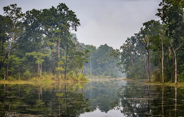
Nepal's first national park, lowland jungle of rhinos and tigers.
Photo: Vadim Tolbatov / CC BY-SA 4.0, via Wikimedia Commons licence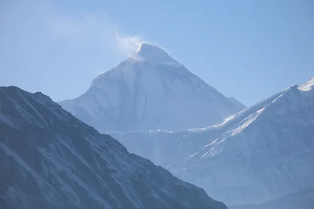
The seventh highest mountain in the world, rising above the deepest gorge on Earth.
Photo: Vyacheslav Argenberg / CC BY 4.0, via Wikimedia Commons licence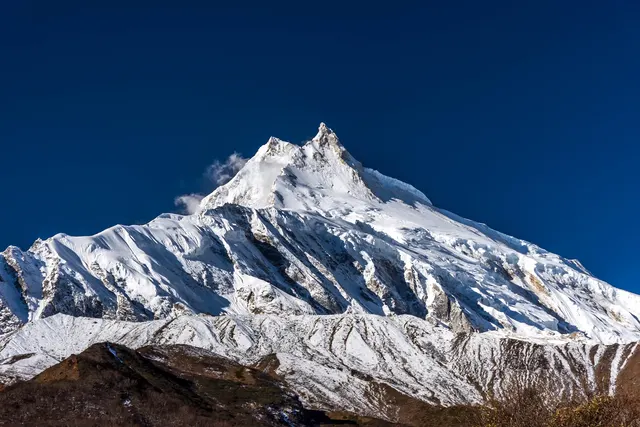
The eighth highest mountain in the world, the 'Mountain of the Spirit'.
Photo: Pratapgrg / CC BY-SA 4.0, via Wikimedia Commons licence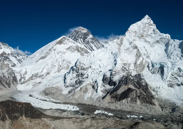
The Himalayan park around Mount Everest and its Sherpa villages.
Photo: Vyacheslav Argenberg / CC BY 4.0, via Wikimedia Commons licence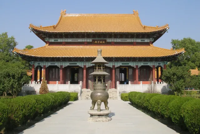
The garden where the Buddha was born, marked by a pillar of Emperor Ashoka.
Photo: Vyacheslav Argenberg / CC BY 4.0, via Wikimedia Commons licence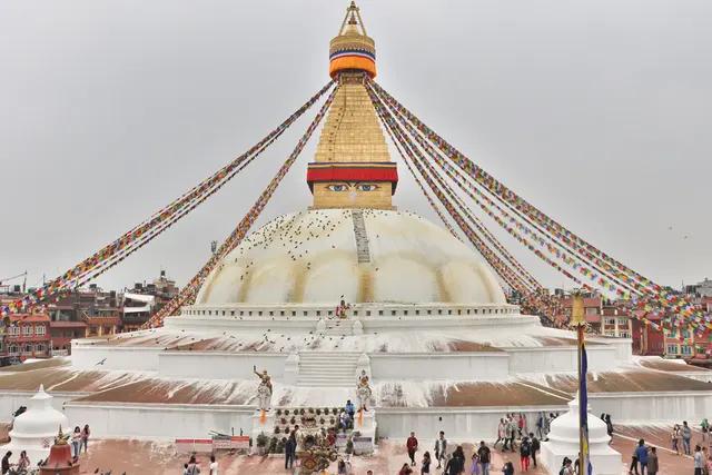
A giant white stupa with watchful painted eyes.
Photo: Nabin K. Sapkota / CC BY-SA 4.0, via Wikimedia Commons licenceAll 13 Nepal photos in Explorer →
Questions we ask
6| Question | Answer |
|---|---|
| Which country's capital is Kathmandu? | Nepal |
| Which is the only country in the world with a non-rectangular national flag? | Nepal |
| Mount Everest lies on the border between Nepal and which country? | China |
| How many of the fourteen 8,000 m peaks are fully or partly in Nepal? | 8 |
| What currency does Nepal use? | Rupee |
| Which country’s clocks are set 5 hours and 45 minutes ahead of UTC? | Nepal |
Facts from our quizzes
Nepal in our quizzes
Bhutan is a wrong choice for Kathmandu and again for Nepal's flag and outline. Bhutan, India and Sri Lanka sit beside Nepal in the flag round. For the outline, the other choices are Bangladesh, Bhutan and Afghanistan. Bhutan is on both lists.
Trivia asks: “Which is the only country in the world with a non-rectangular national flag?” The answer is Nepal. It also asks: “Mount Everest lies on the border between Nepal and which country?” (China). Chitwan National Park and Dhaulagiri, two of 13 Nepal photos, are marked easy; Machhapuchhre is marked hard.
Every Nepal question, with streaks and a leaderboard, is in the app.
PlayQuestions and answers
What is the capital of Nepal?
The capital of Nepal is Kathmandu.
Which continent is Nepal in?
Nepal is in Asia.
What is the population of Nepal?
About 31 million (2025 estimate).
Which countries border Nepal?
Nepal borders India and China.
What is the highest point in Nepal?
Mount Everest, at 8,849 m.
What is the official language of Nepal?
Nepali.