Photo location game · Oceania
Australia landmarks quiz: guess where 16 photos were taken
16 places in Australia, each with a photo, a fact and a spot on the map. Play five of them here, then study the rest below.
★ 4.7 on Google Play· 60 ratings· 500+ downloads· Free
Five photos from Australia. Tap the map where you think each one was taken.
Tap the map where you think this is
Where they are
14 on the mapAll 16 places
by id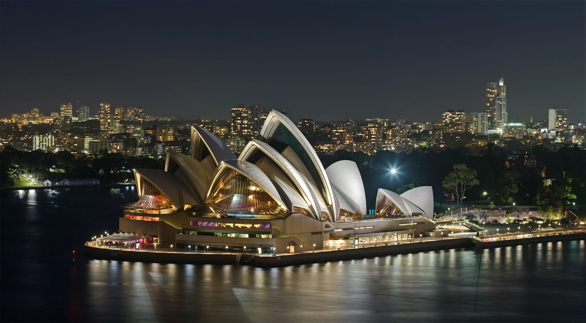
The sail-shaped shells on Bennelong Point in Sydney Harbour.
Photo: Diliff / CC BY-SA 3.0, via Wikimedia Commons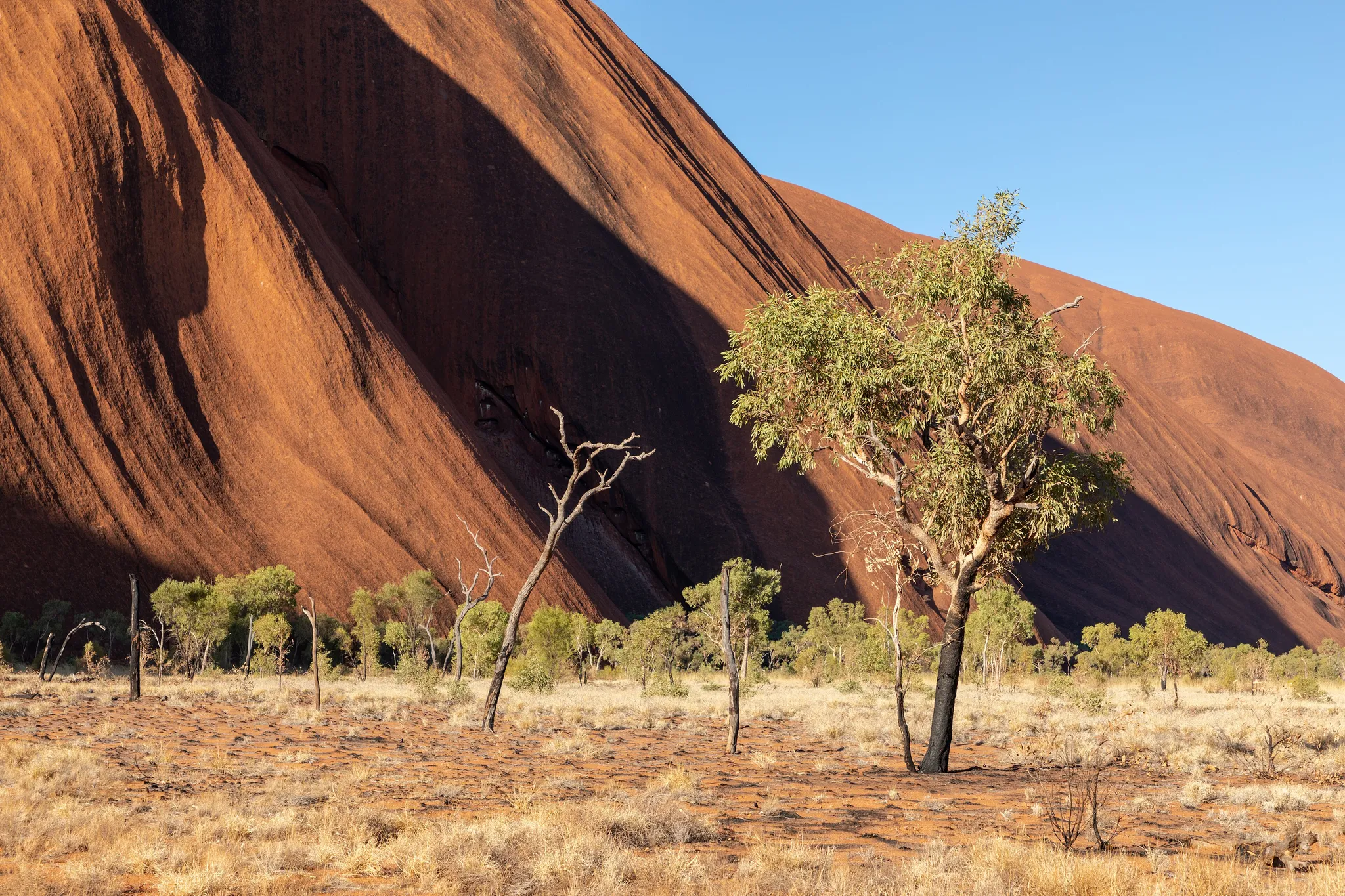
A vast red sandstone monolith in the heart of the outback.
Photo: Dietmar Rabich / CC BY-SA 4.0, via Wikimedia Commons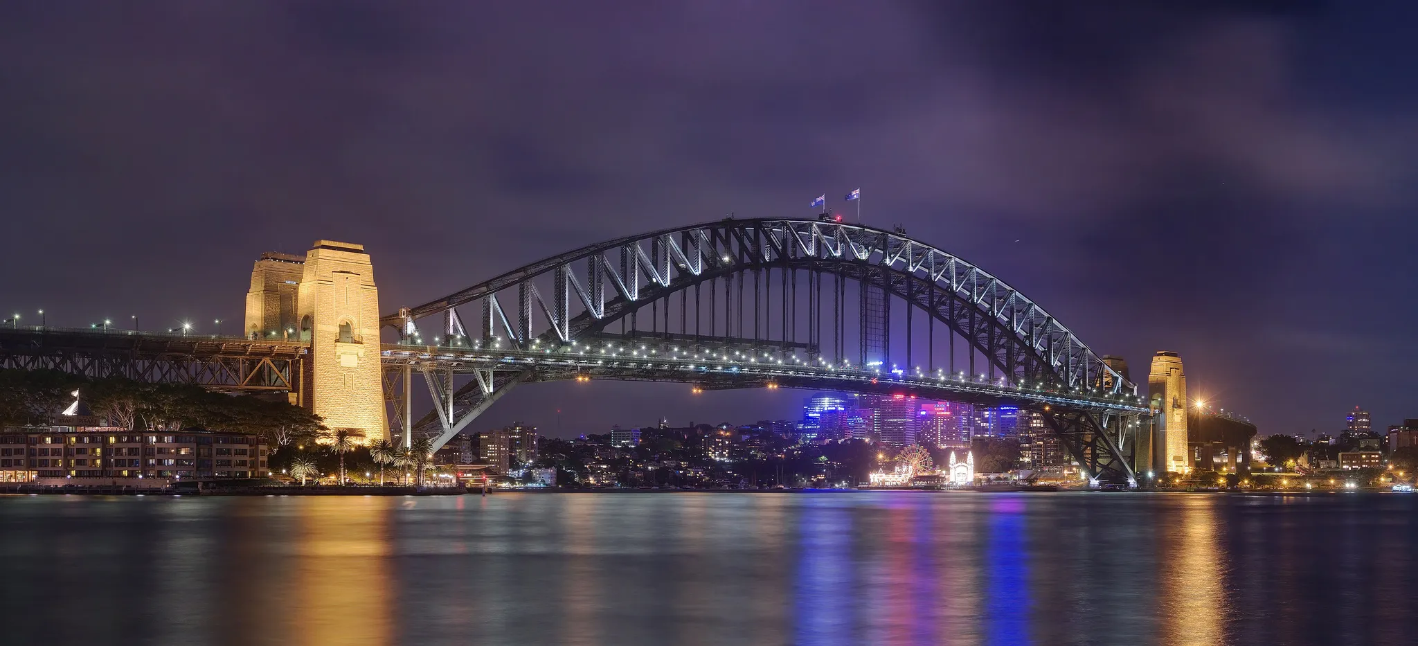
The steel arch nicknamed the "Coathanger" over the harbour.
Photo: JJ Harrison (https://www.jjharrison.com.au/) / CC BY-SA 3.0, via Wikimedia Commons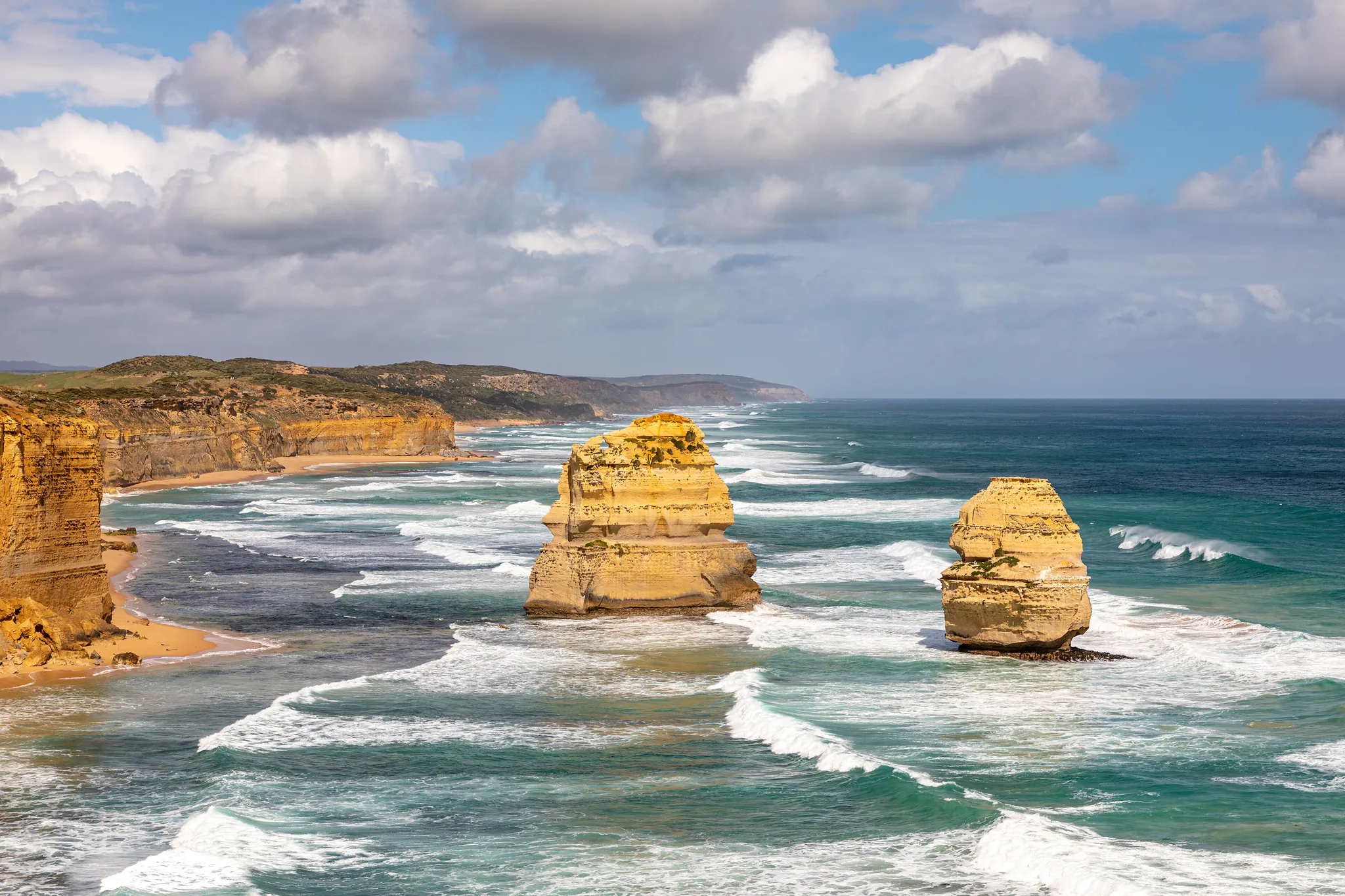
Limestone sea stacks rising off a wild southern coast.
Photo: Dietmar Rabich / CC BY-SA 4.0, via Wikimedia Commons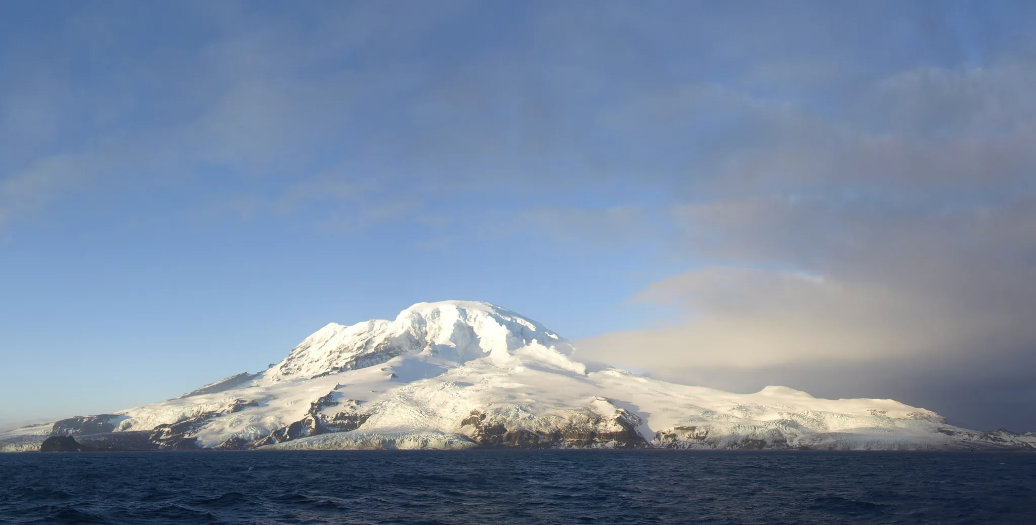
Remote sub-Antarctic islands with Australia's only active volcano.
Photo: Tristannew (original) Derivative: SHB2000 (cropped) / CC BY-SA 4.0, via Wikimedia Commons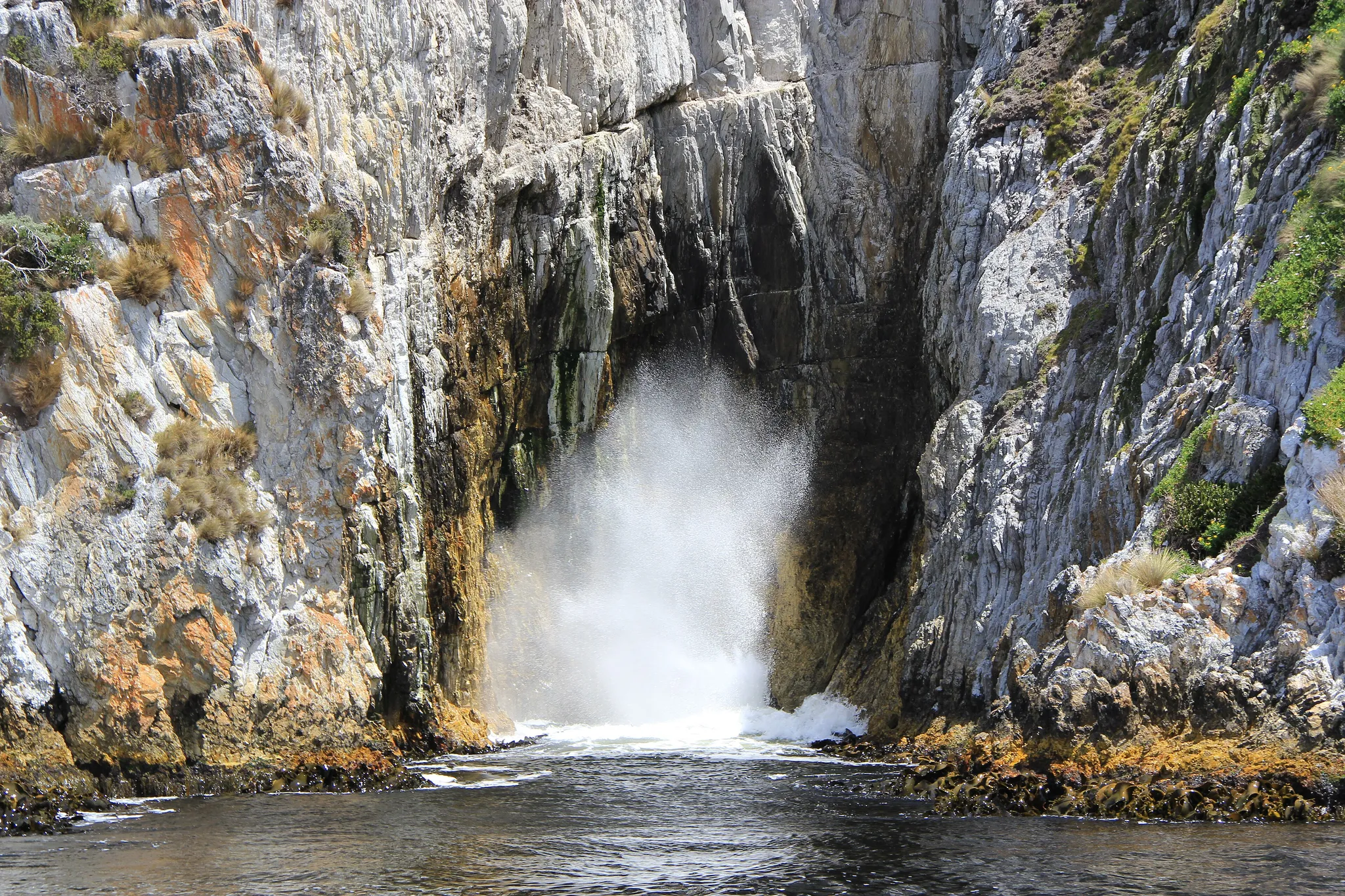
A vast wild region of temperate rainforest, glacial lakes and dolerite peaks.
Photo: Mngeorgieva / CC BY-SA 4.0, via Wikimedia Commons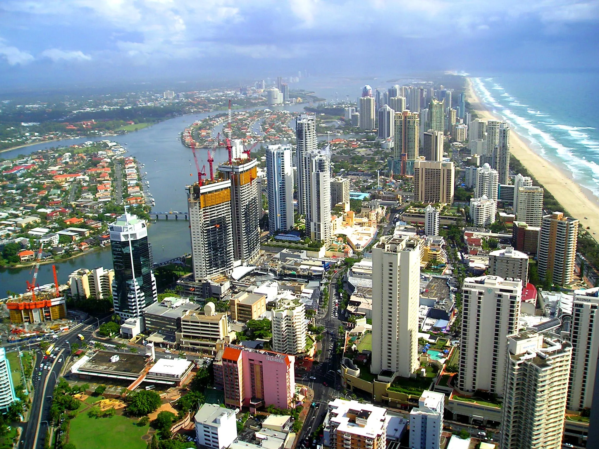
Australia's surf city, a 57-km strip of beaches lined with high-rises.
Photo: E-CBD / CC BY-SA 3.0, via Wikimedia Commons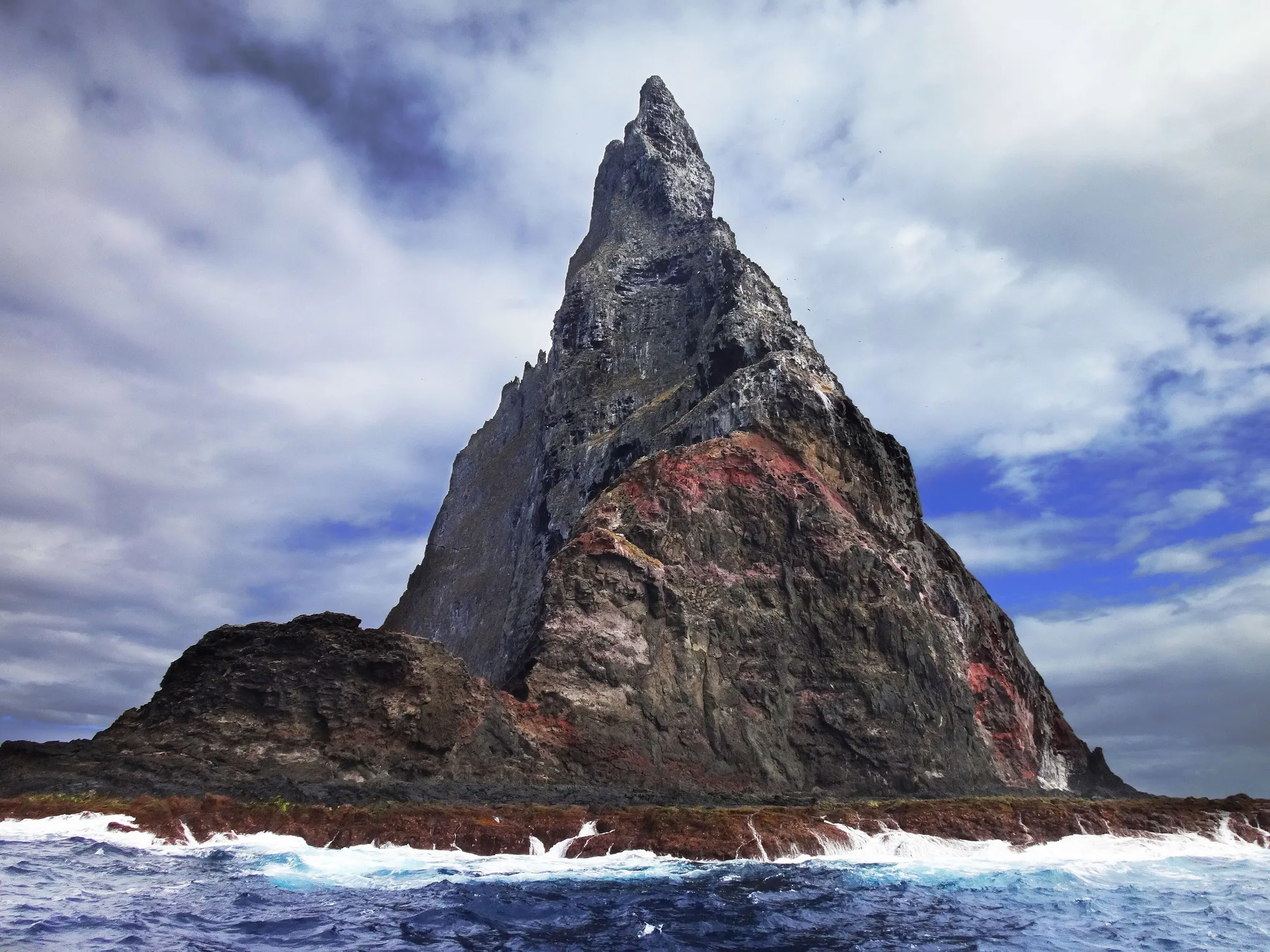
The tallest volcanic sea stack in the world, a 562-metre blade of rock in the Pacific.
Photo: PotMart186 / CC BY-SA 4.0, via Wikimedia Commons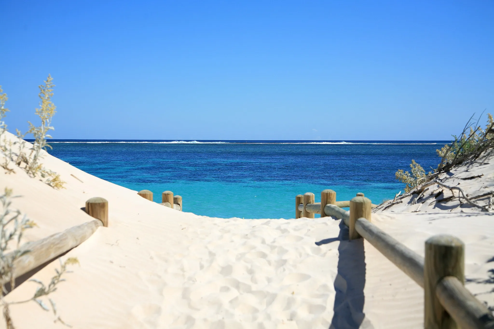
A 260-km fringing reef where whale sharks gather every autumn.
Photo: W. Bulach / CC BY-SA 4.0, via Wikimedia Commons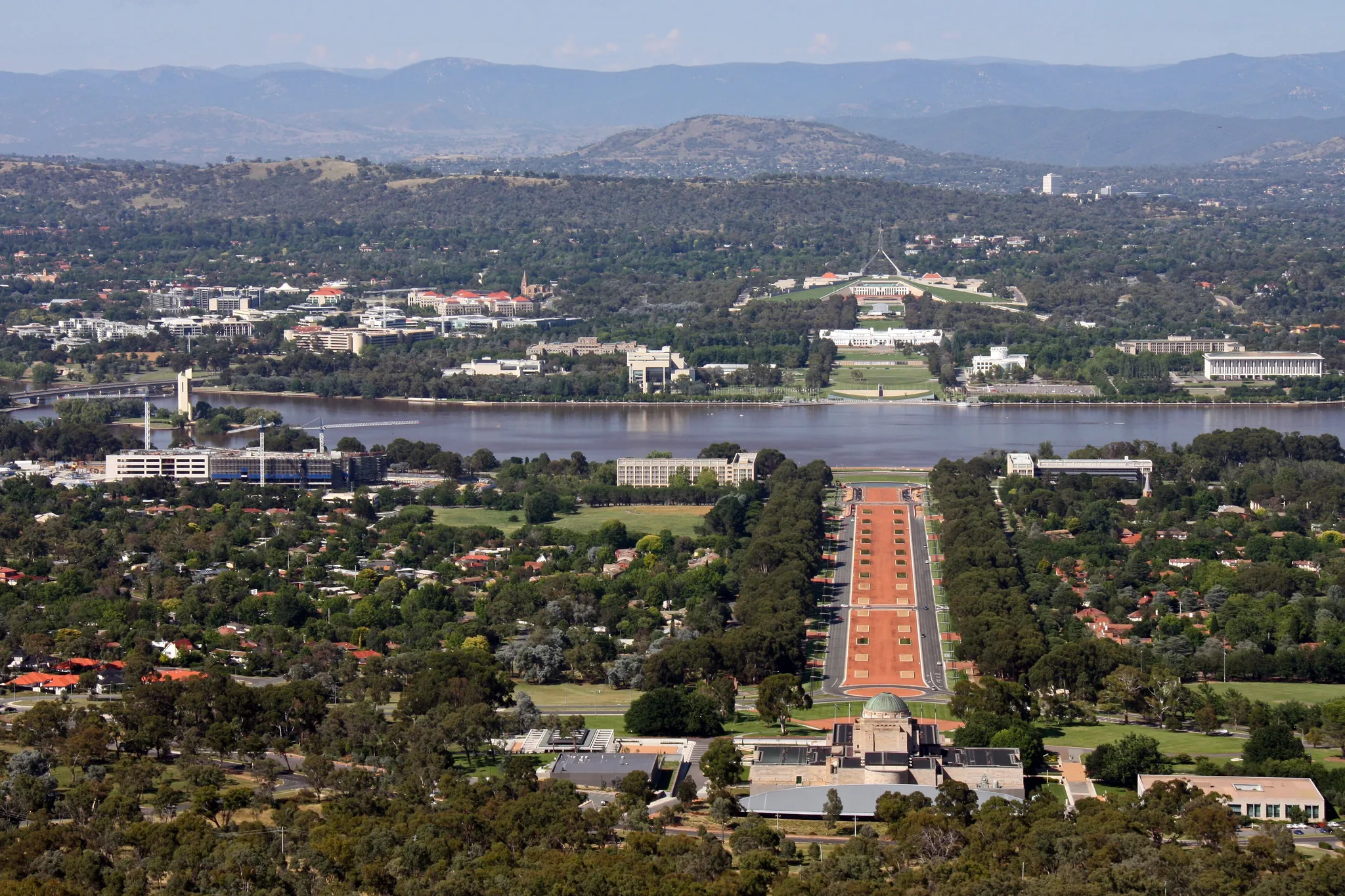
Australia's planned capital, laid out around an artificial lake in 1913.
Photo: Tim J Keegan from Lake Macquarie, Australia / CC BY-SA 2.0, via Wikimedia Commons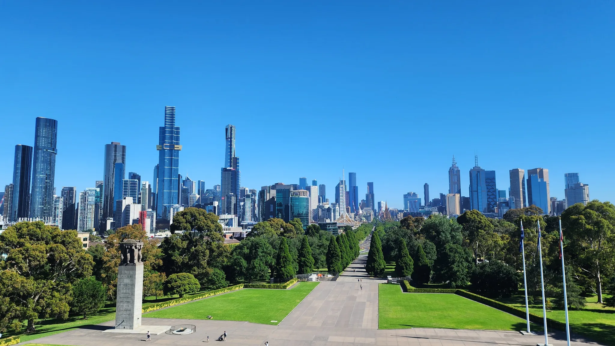
Australia's cultural capital on the Yarra, famous for laneways, coffee and sport.
Photo: Shkuru Afshar / CC BY-SA 4.0, via Wikimedia Commons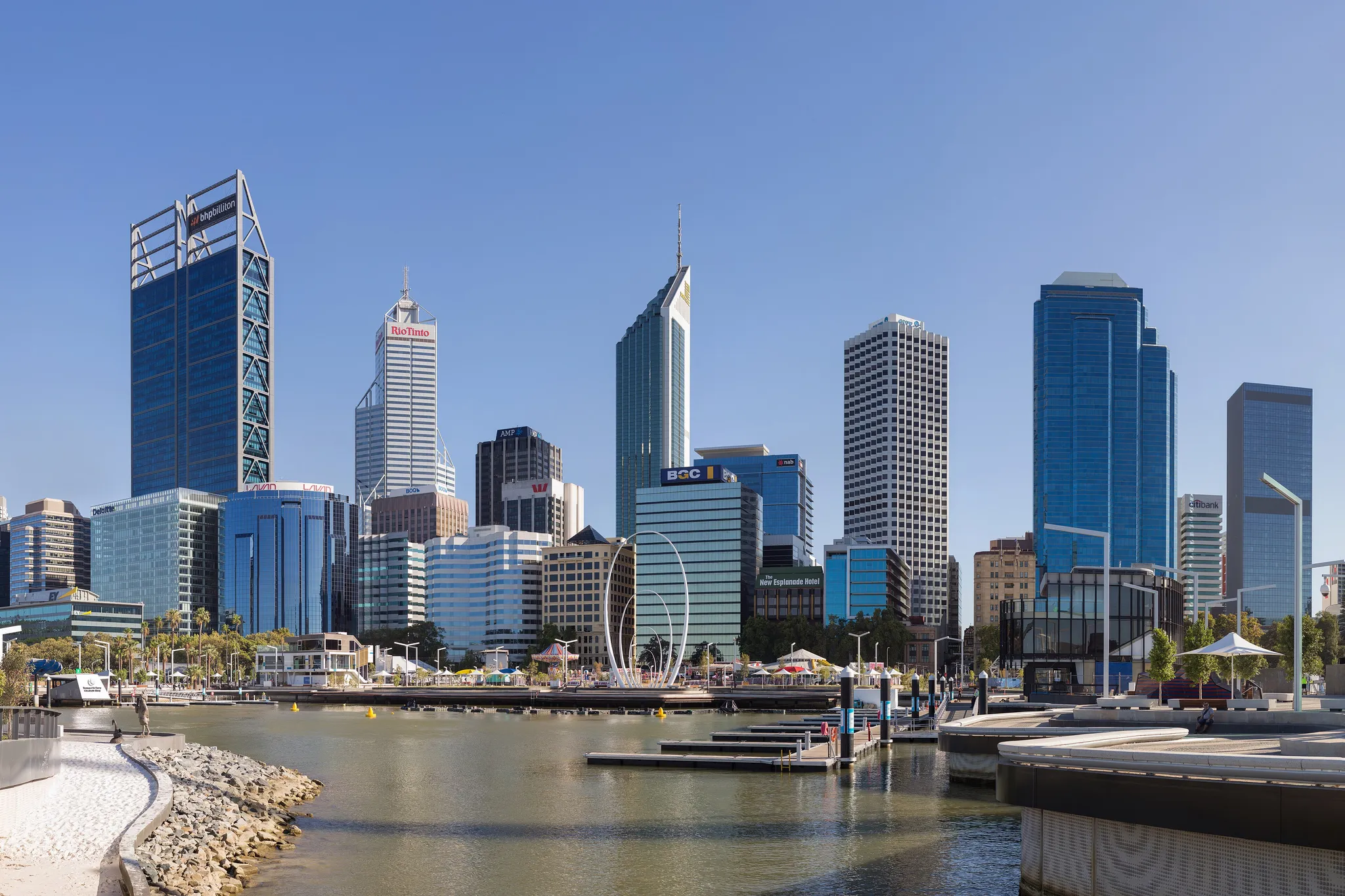
The most isolated major city on Earth, on the Swan River in Western Australia.
Photo: Samuel Wiki / CC BY 4.0, via Wikimedia Commons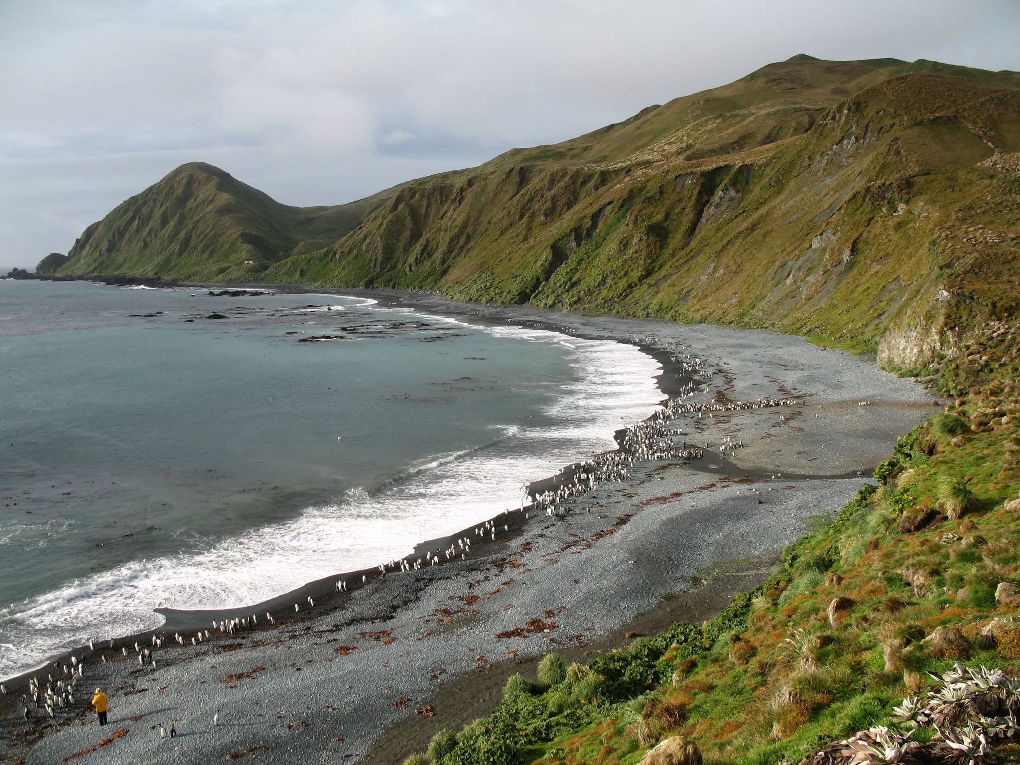
A sub-Antarctic island where the ocean floor was pushed above sea level.
Photo: Public domain, via Wikimedia Commons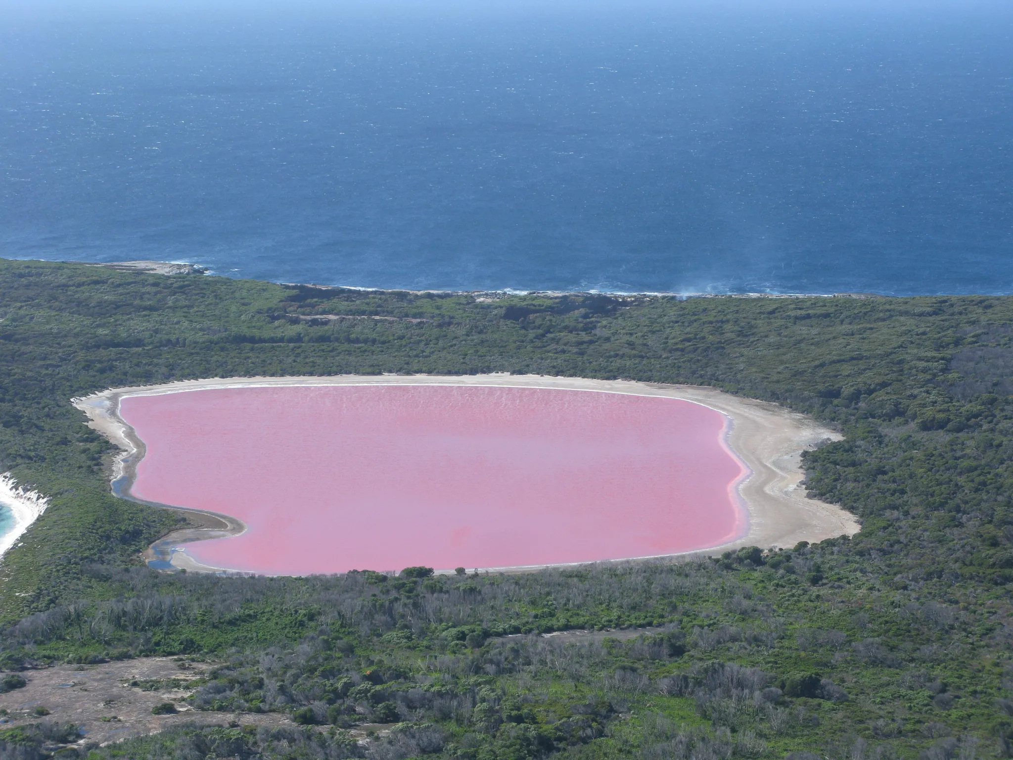
A bubble-gum pink lake on an island off Western Australia.
Photo: Aussie Oc / CC BY-SA 4.0, via Wikimedia Commons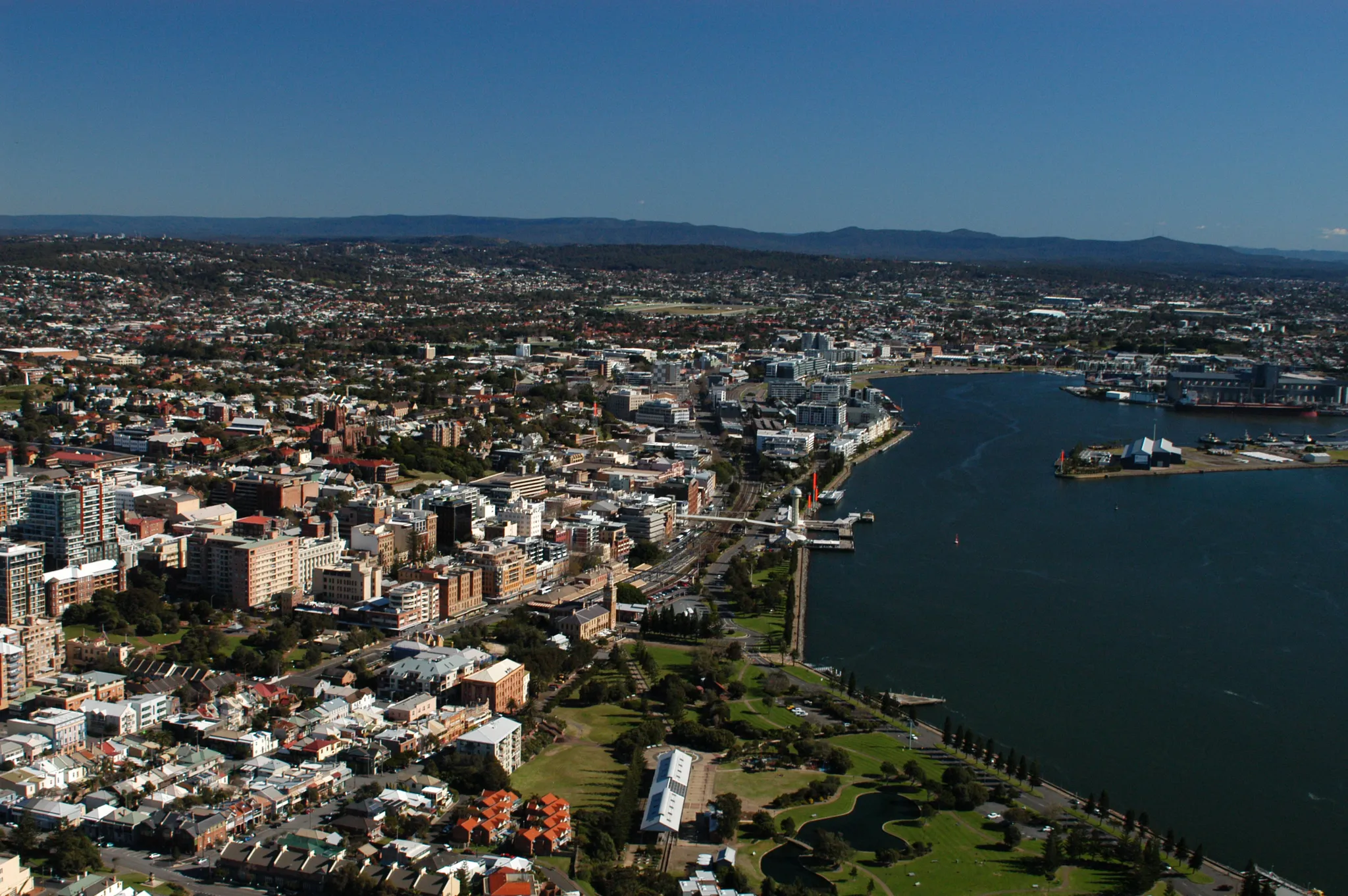
Australia's second oldest city, a coal port with surf beaches.
Photo: Doug Beckers from Avoca Beach, Australia / CC BY-SA 2.0, via Wikimedia Commons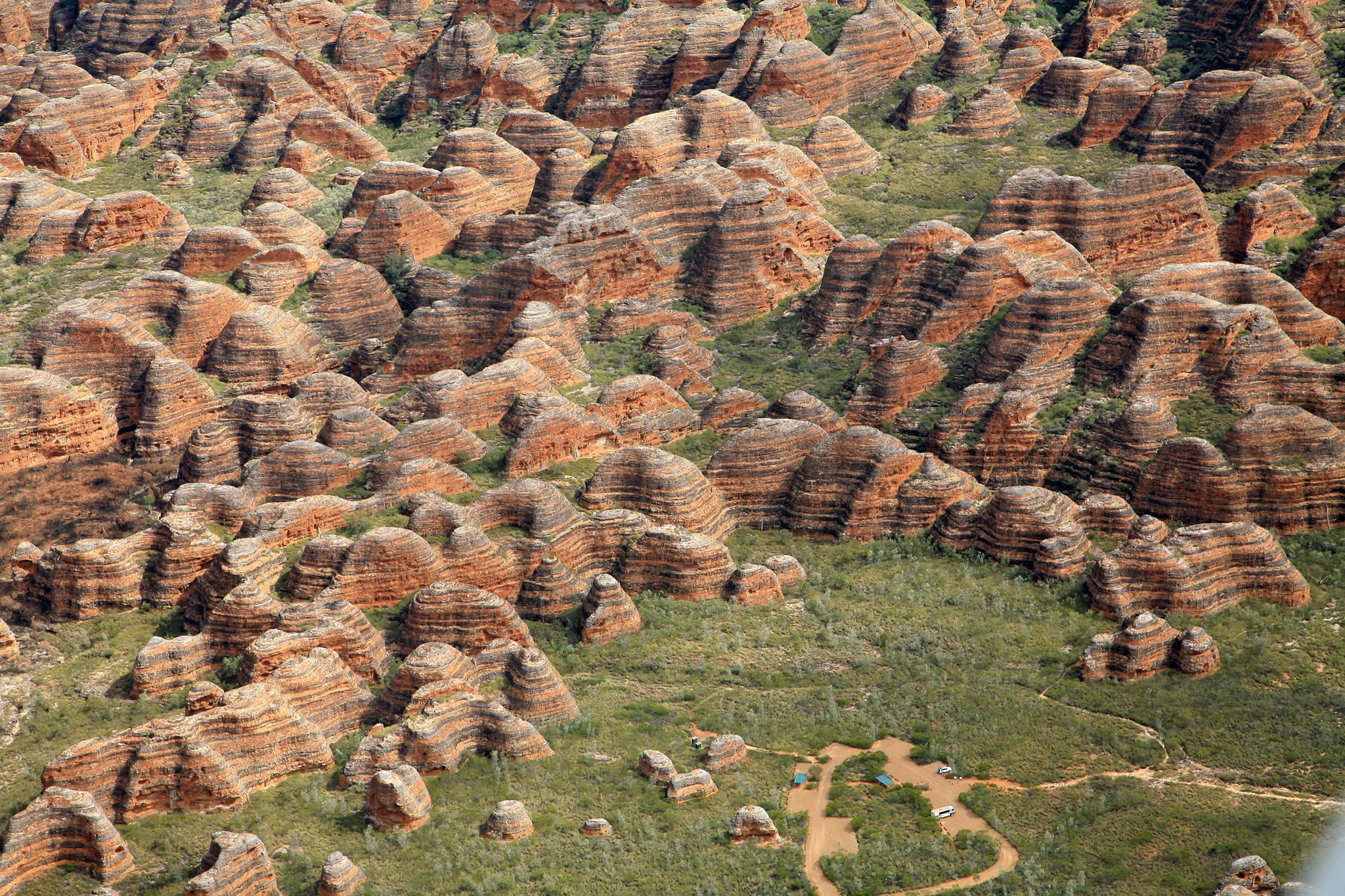
The Bungle Bungle Range, beehive-shaped domes striped orange and black.
Photo: W. Bulach / CC BY-SA 4.0, via Wikimedia CommonsHow to place them
The 14 mainland places spread 4,600 km across the country, Ningaloo Reef at the western end and Ball's Pyramid at the eastern. Three of them sit within 120 km of each other in the east: Sydney Opera House, Sydney Harbour Bridge and Newcastle. The round below leaves out Heard Island and McDonald Islands and Macquarie Island, all beyond the map's edge.
Eight of the 16 are rated easy, Sydney Opera House and Uluru among them, so a wrong region still pays. Gold Coast, Ningaloo Reef and Newcastle are rated hard. Heard Island and McDonald Islands carries a 150 km radius. Get the region and the points are yours. Macquarie Island is a sub-Antarctic island where the ocean floor was pushed above sea level.
Australia is one country. The daily draws from all 167.
Play the daily in the appQuestions & answers
How many places in Australia are in the game?
16, from Purnululu National Park in the north to Macquarie Island in the south, counting two outside the mainland map. A round here plays five of them.
Which photo from Australia is the hardest?
Gold Coast, Ningaloo Reef and Newcastle are rated hard. On hard photos the score halves every 451 km beyond the accuracy radius.
Which one is easiest to score full points on?
Heard Island and McDonald Islands: its accuracy radius is 150 km, so any pin inside that circle scores 5,000.