Photo location game · Europe
Portugal landmarks quiz: guess where 17 photos were taken
A round of five from Portugal, then all 17 places with their photos, facts and dots on the map.
★ 4.7 on Google Play· 60 ratings· 500+ downloads· Free
Five places from the 17 below, in a random order. Your pin against the real spot, five times.
Tap the map where you think this is
Where they are
9 on the mapAll 17 places
by id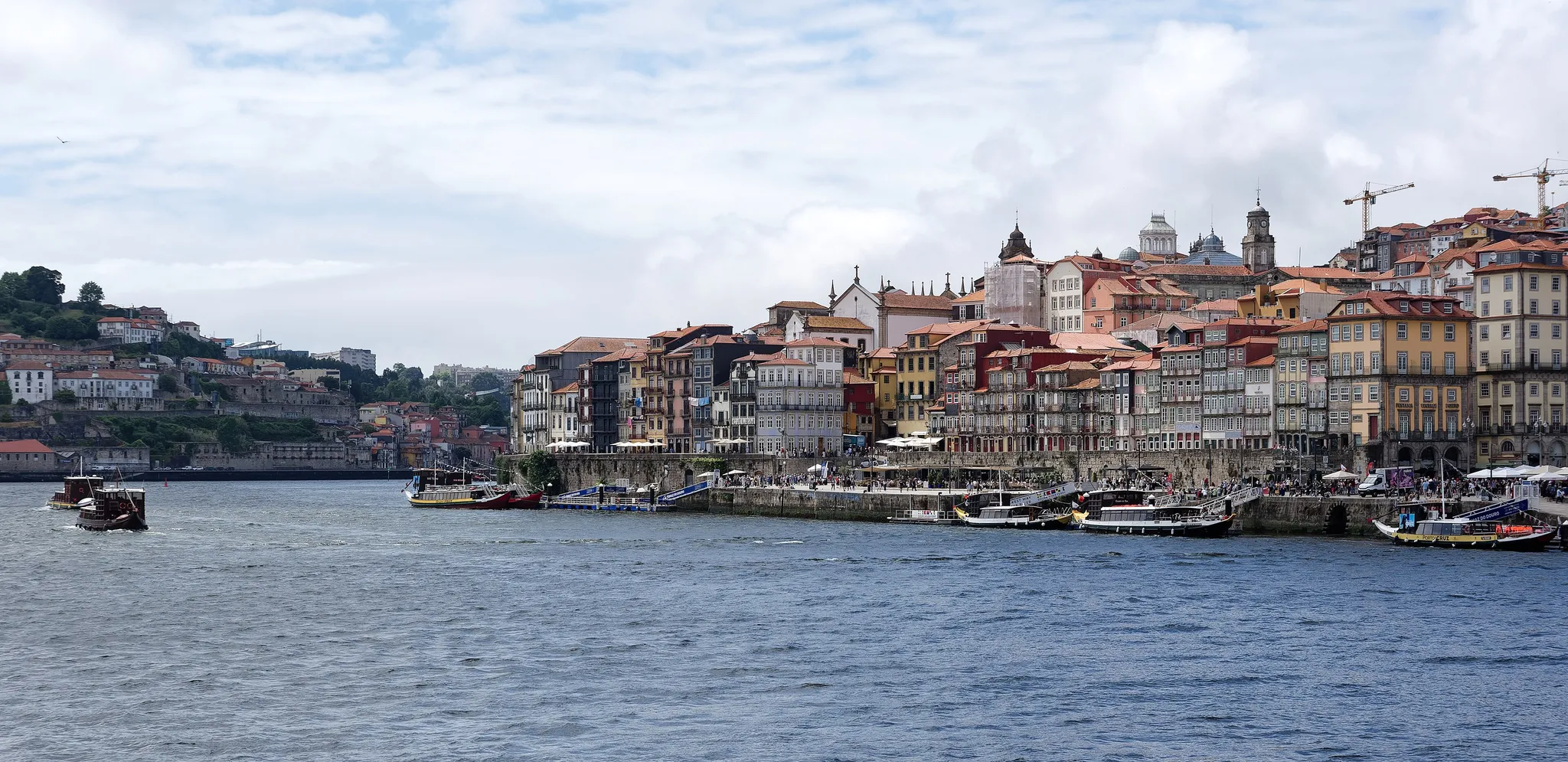
Colourful riverside houses along the Douro in Porto.
Photo: Jakub Hałun / CC BY 4.0, via Wikimedia Commons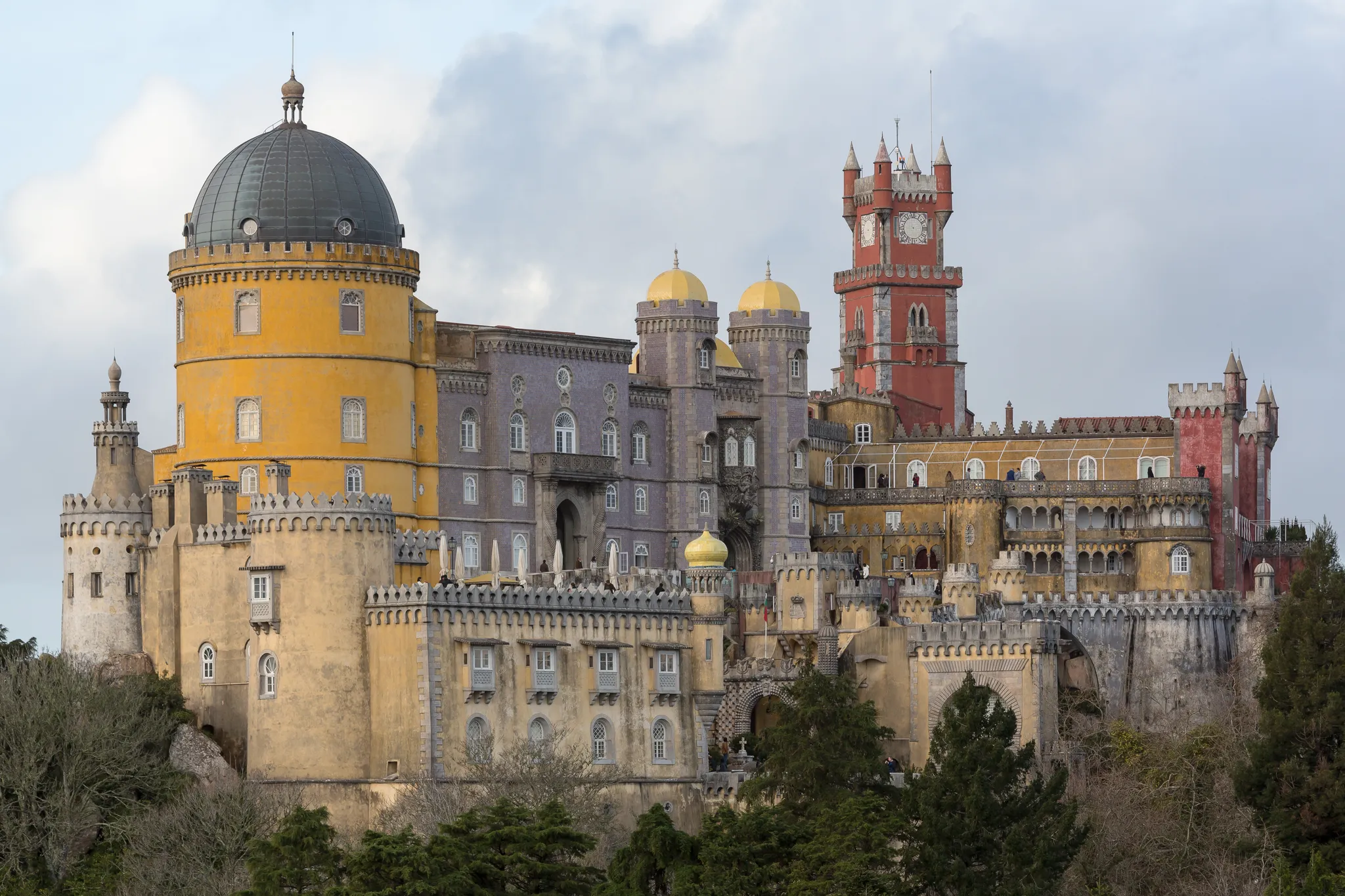
A romanticist palace of clashing colours on a forested hilltop.
Photo: CEphoto, Uwe Aranas / CC BY-SA 3.0, via Wikimedia Commons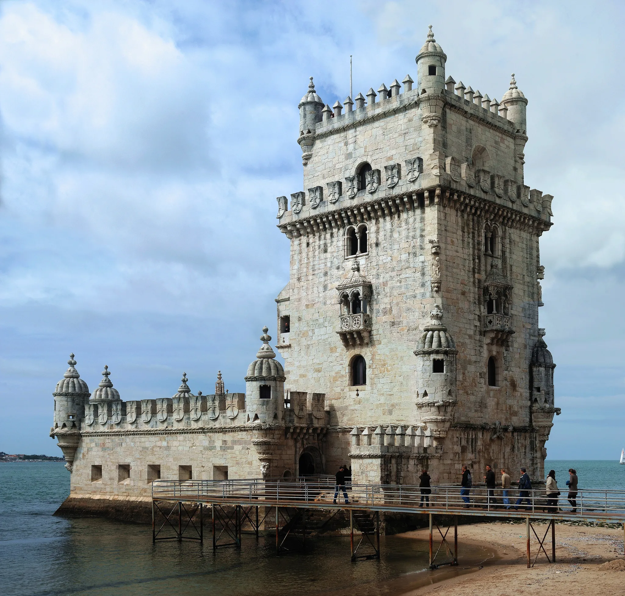
A Manueline fort guarding the mouth of the Tagus.
Photo: Alvesgaspar / CC BY-SA 3.0, via Wikimedia Commons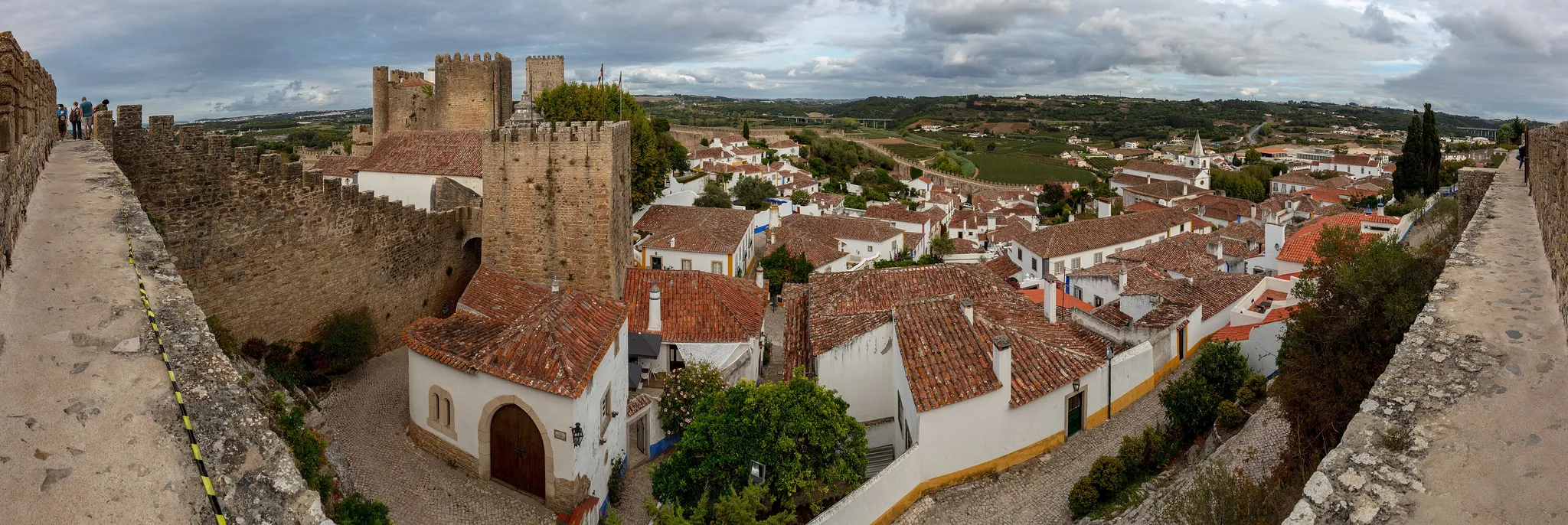
A whitewashed village enclosed by a medieval castle wall.
Photo: Diego Delso / CC BY-SA 4.0, via Wikimedia Commons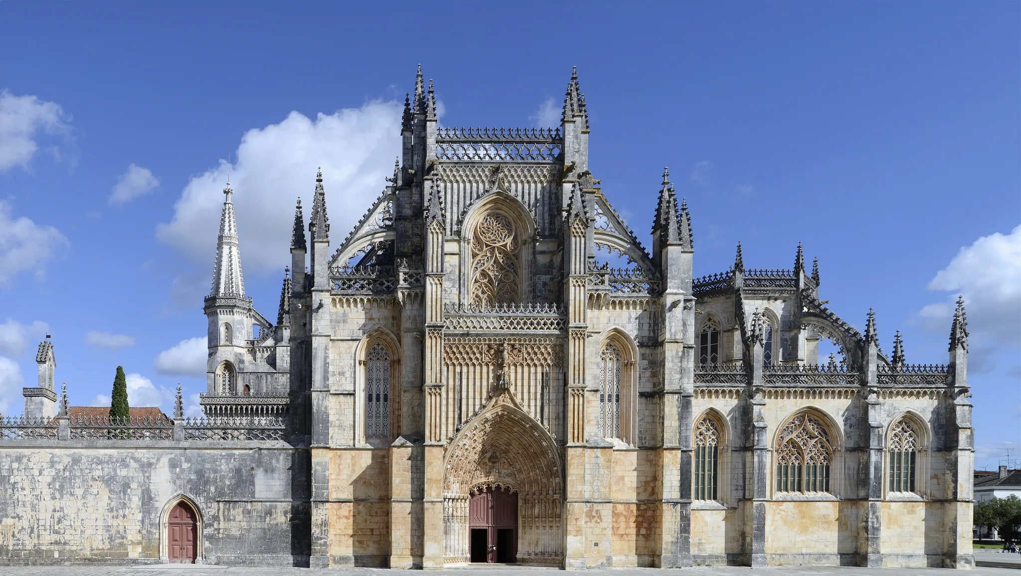
A flamboyant Gothic monastery built to celebrate a 1385 victory over Castile.
Photo: Alvesgaspar / CC BY-SA 4.0, via Wikimedia Commons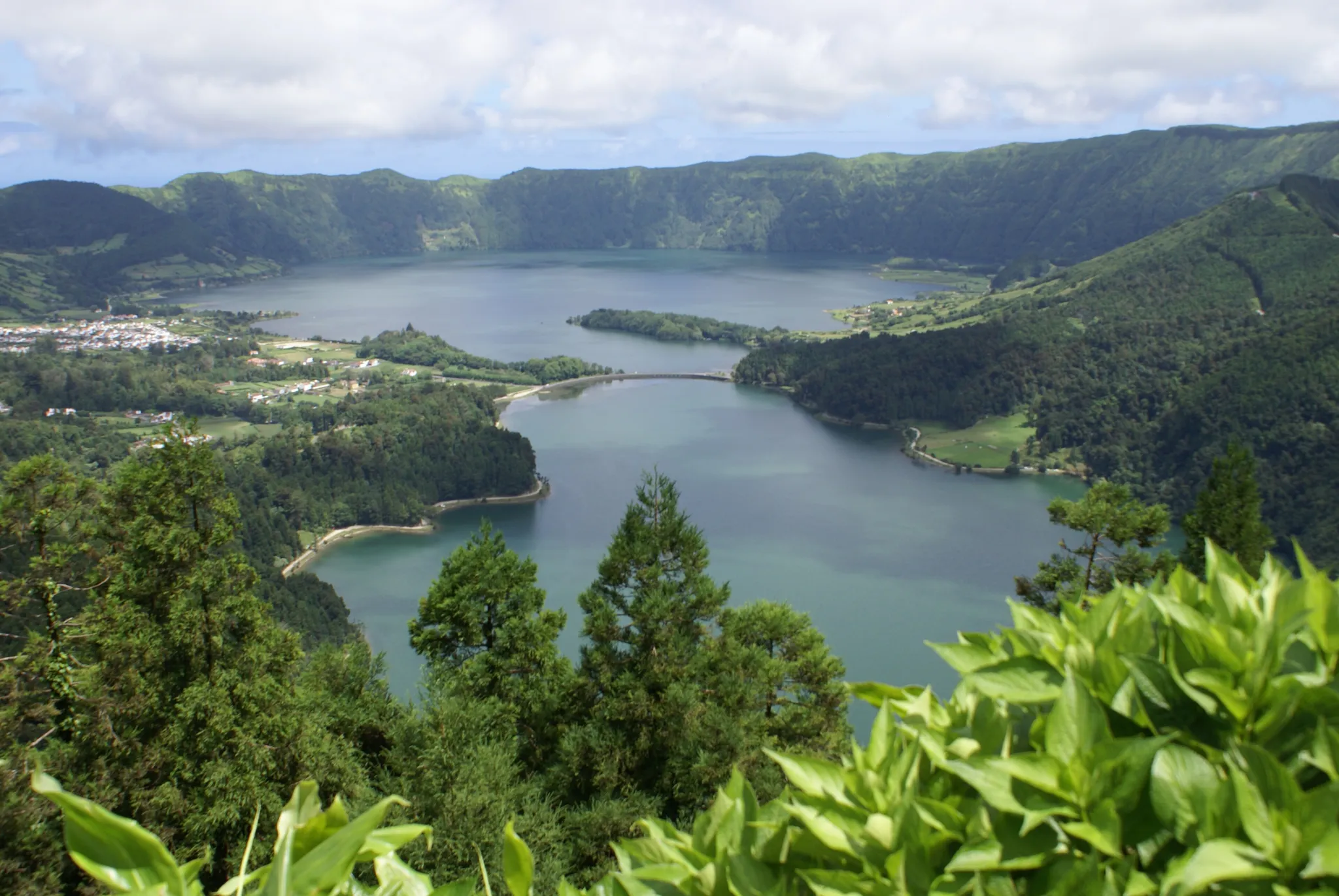
The largest Azores island, with twin crater lakes of green and blue water.
Photo: Public domain, via Wikimedia Commons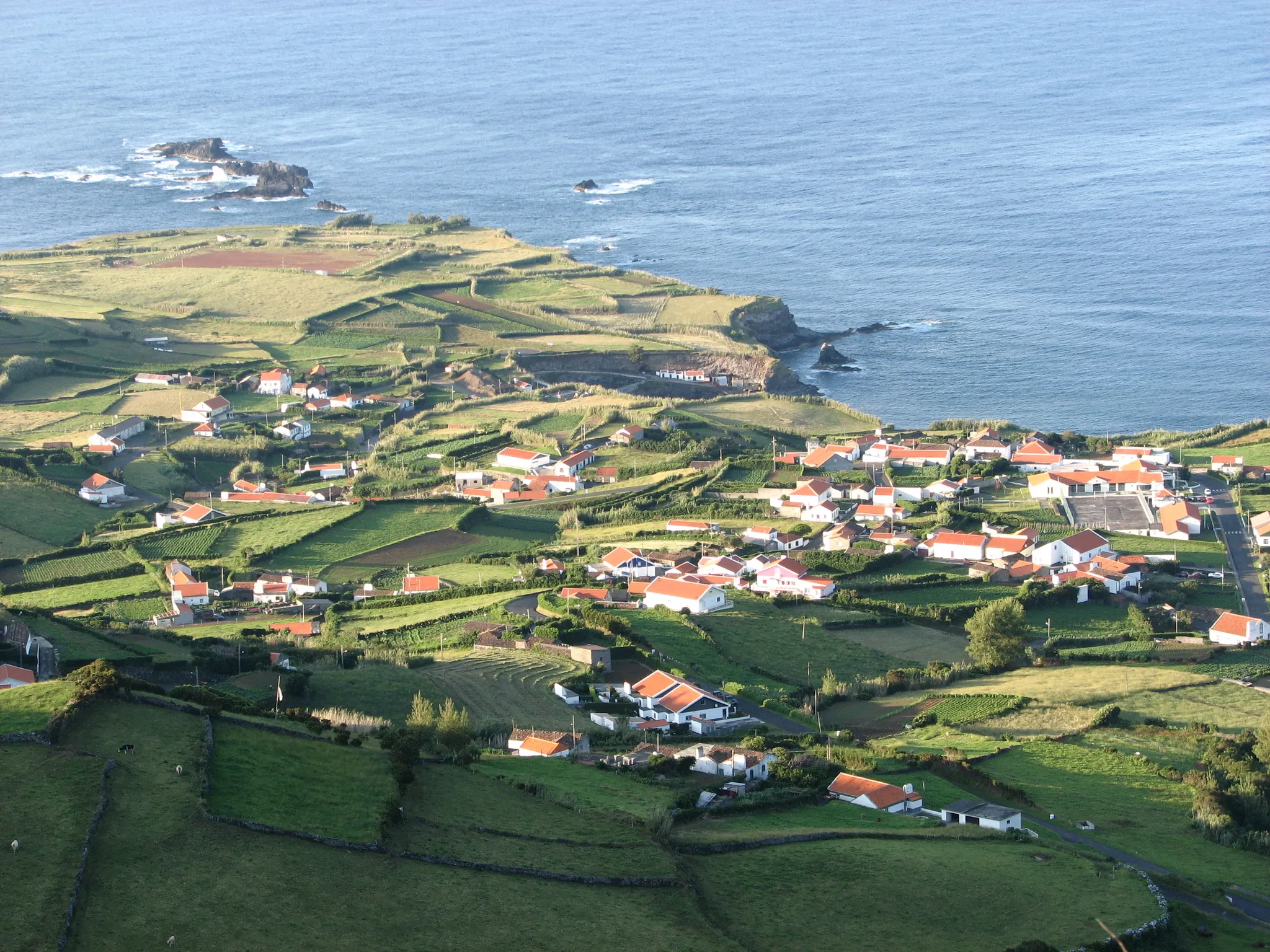
The westernmost point of Europe, a hydrangea-covered island in the Azores.
Photo: Public domain, via Wikimedia Commons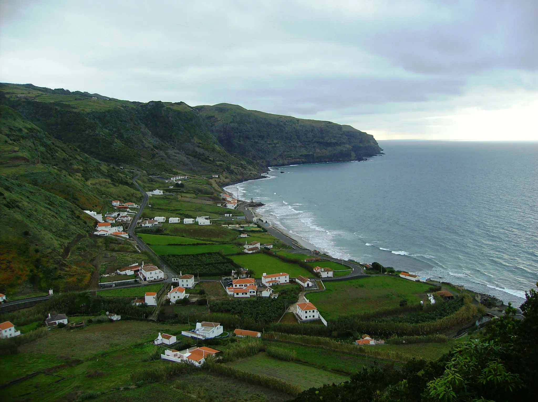
The oldest and sunniest Azores island, where Columbus stopped on his way home in 1493.
Photo: Public domain, via Wikimedia Commons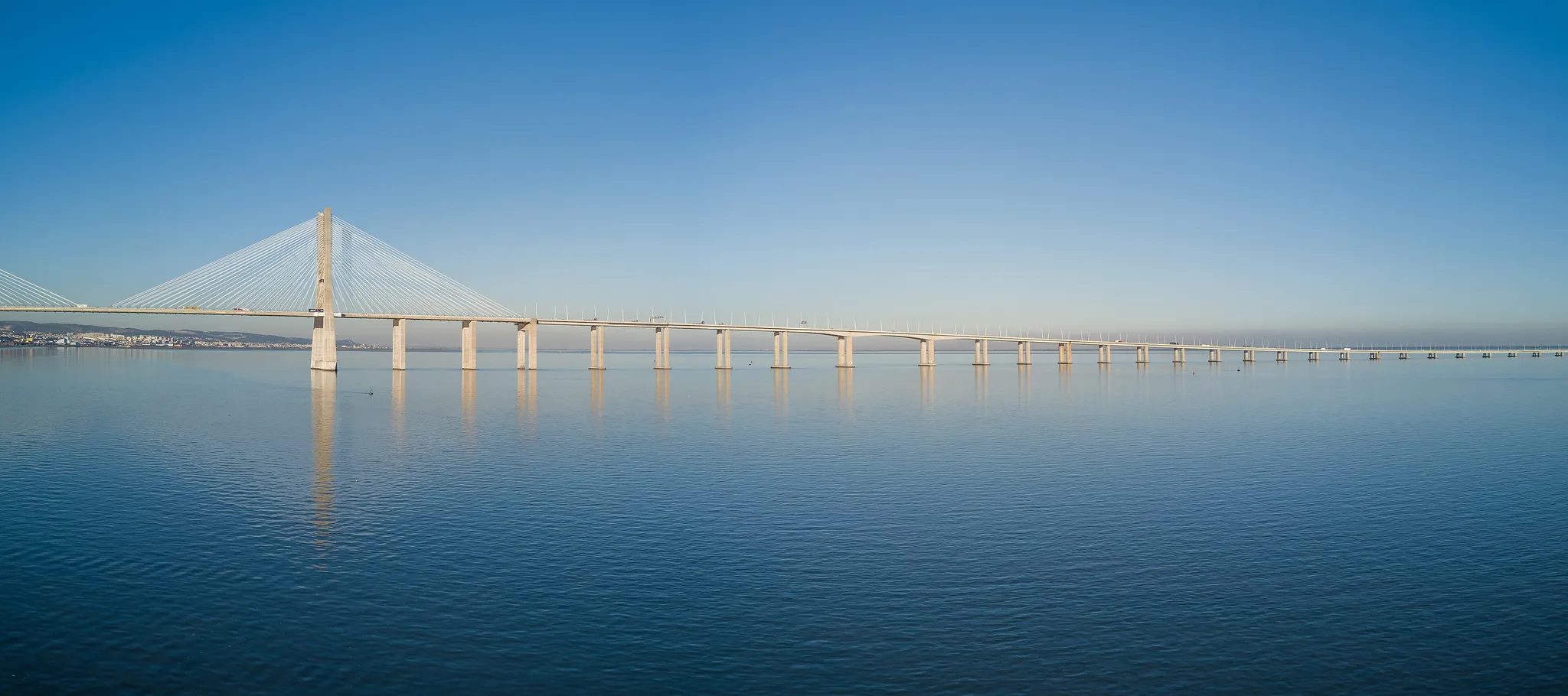
Europe's longest bridge, 17 km across the Tagus estuary.
Photo: Jules Verne Times Two / CC BY-SA 4.0, via Wikimedia Commons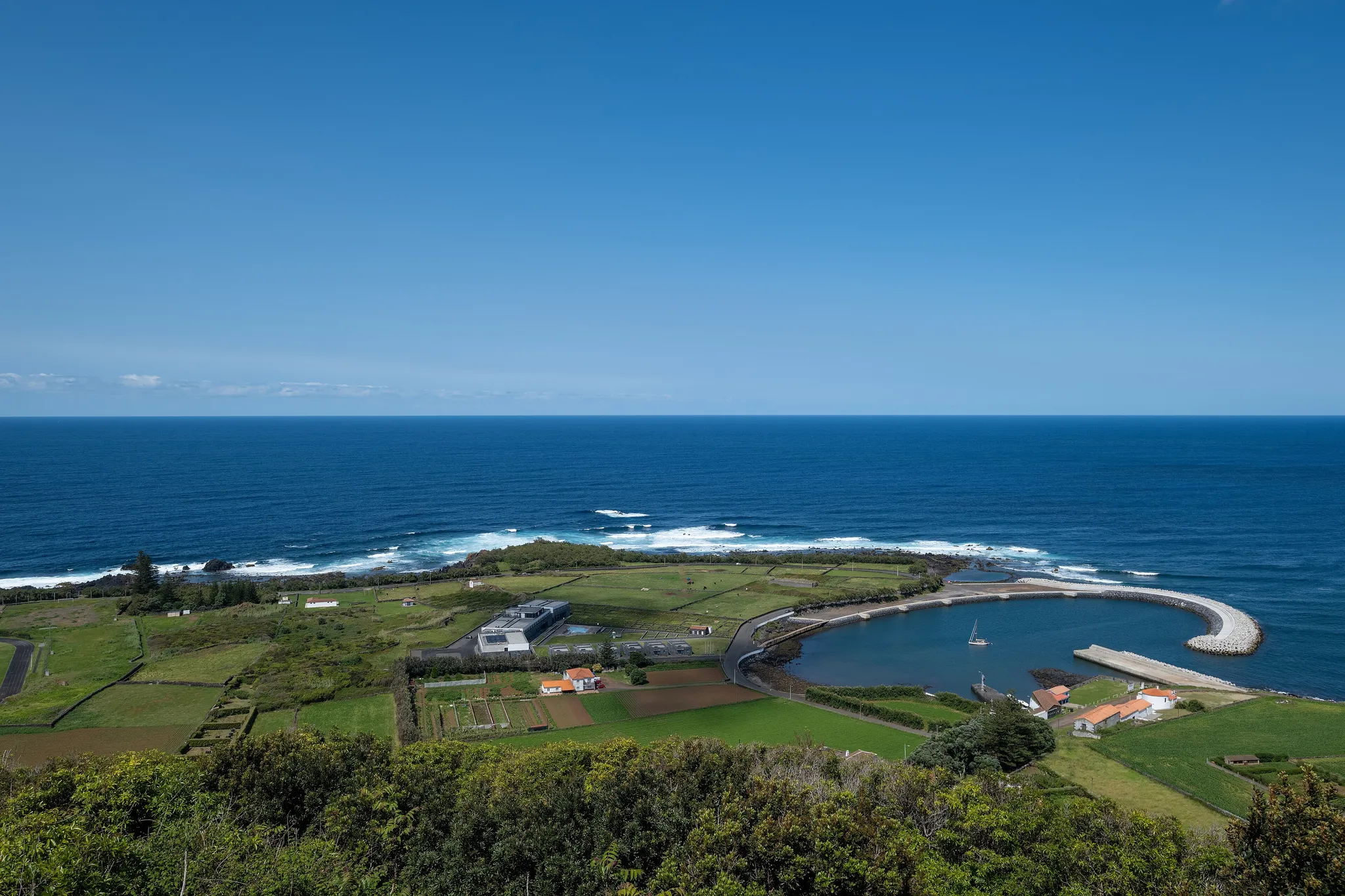
The 'White Island' of the Azores, with a sulphur cave inside its caldera.
Photo: Jules Verne Times Two / CC BY-SA 4.0, via Wikimedia Commons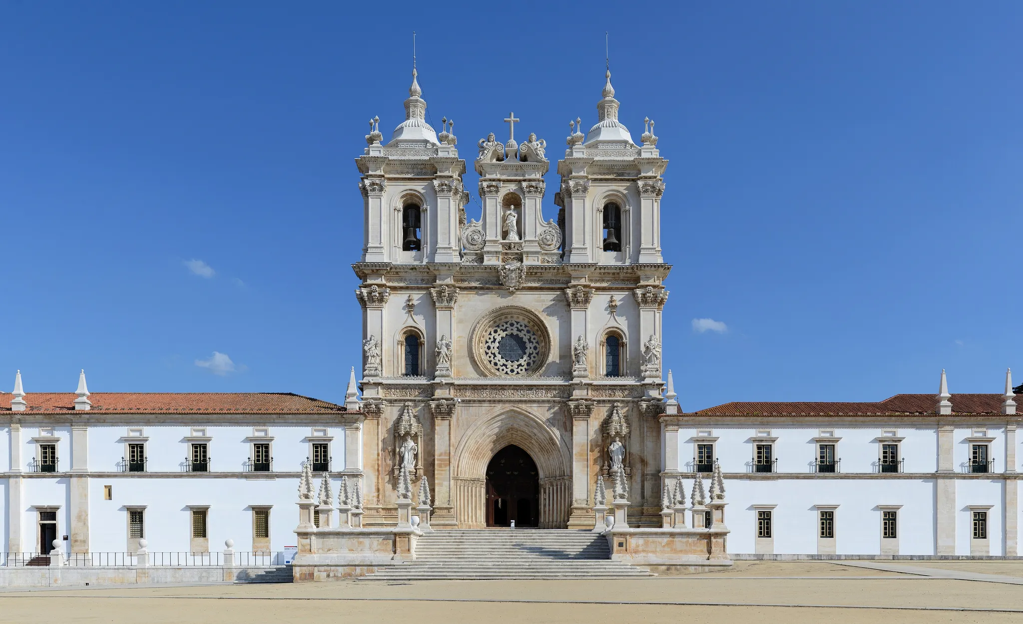
Portugal's first Gothic monastery, with the tombs of the lovers Pedro and Inês.
Photo: Alvesgaspar / CC BY-SA 4.0, via Wikimedia Commons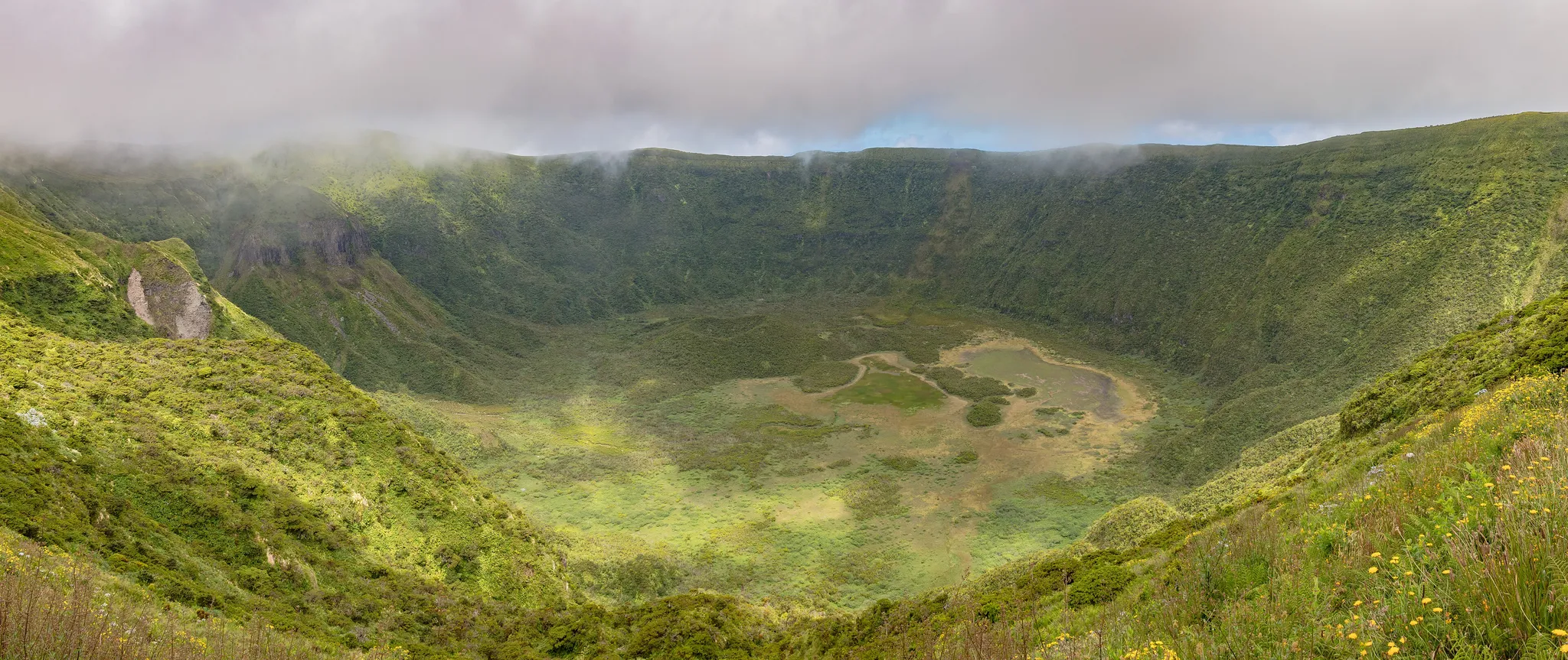
The 'Blue Island' of the Azores, with a caldera and the yacht port of Horta.
Photo: Diego Delso / CC BY-SA 4.0, via Wikimedia Commons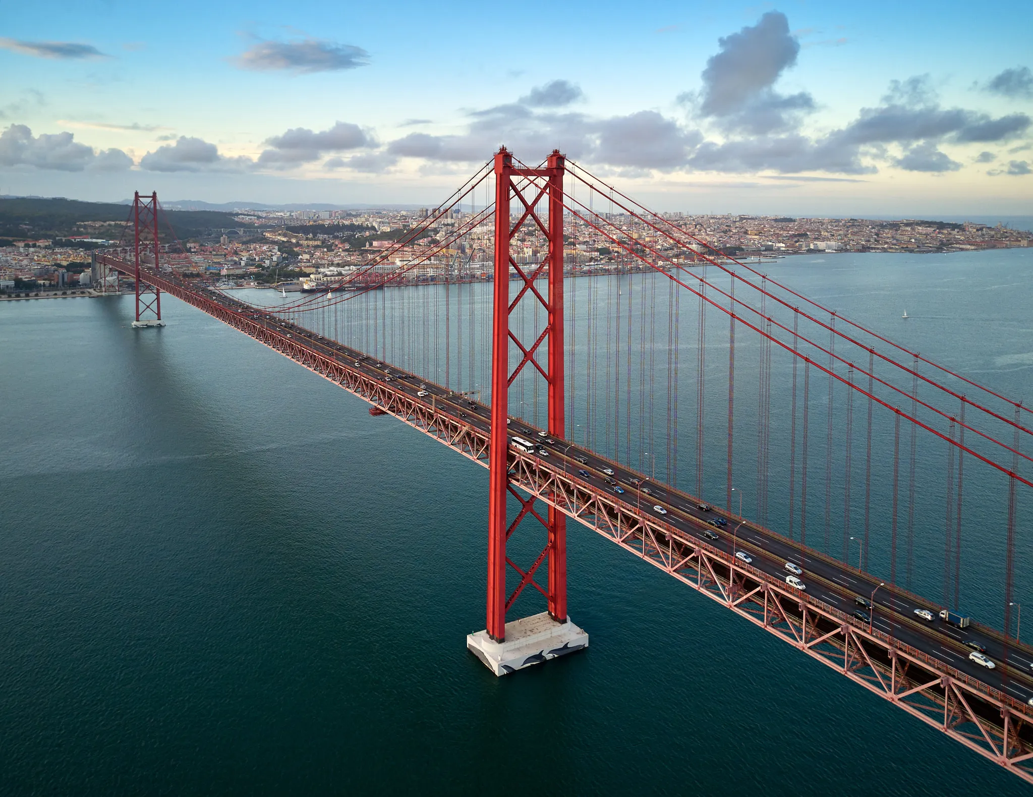
Lisbon's red suspension bridge over the Tagus, a twin of the Golden Gate.
Photo: Mike / CC BY 3.0, via Wikimedia Commons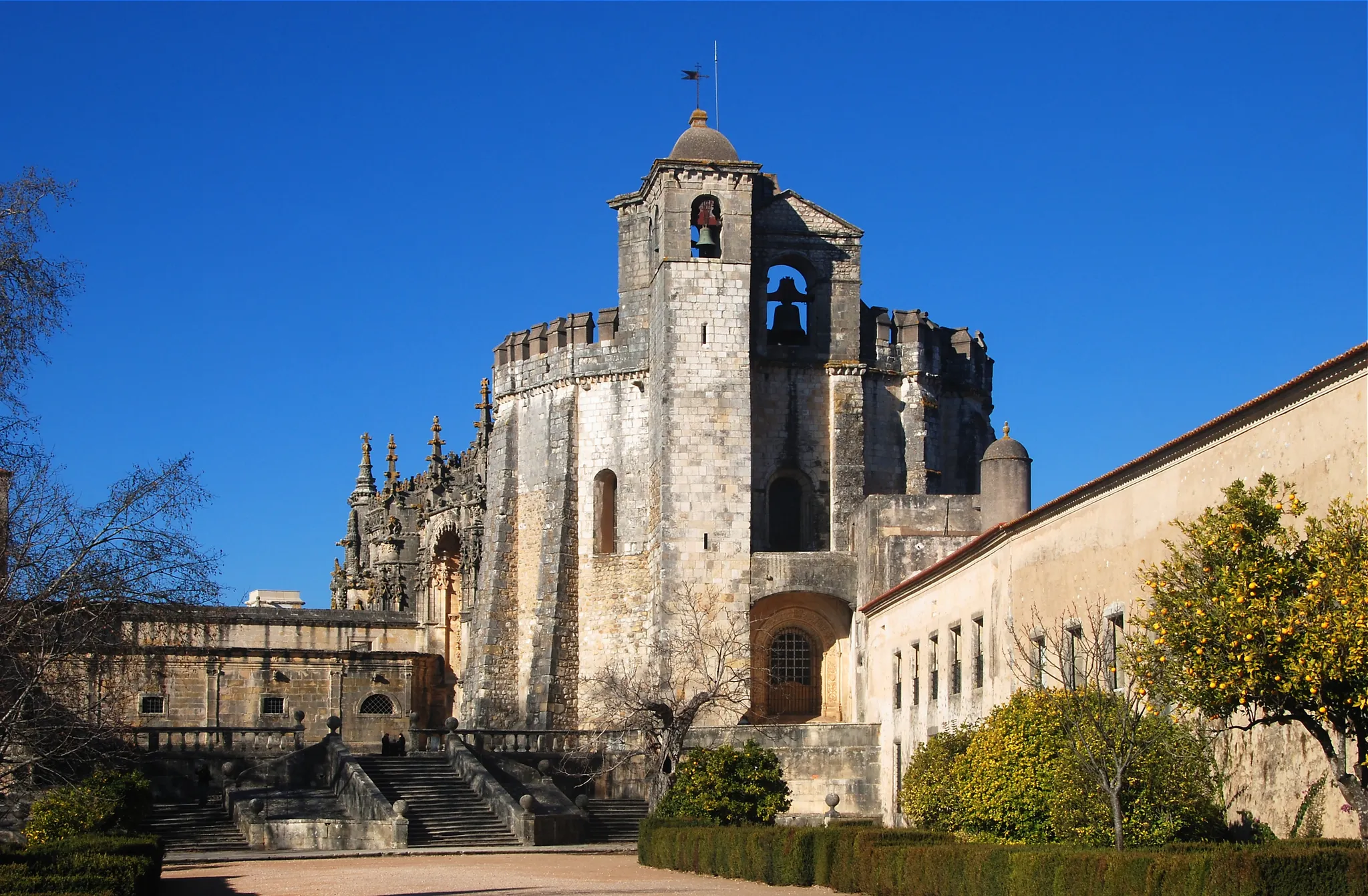
The Templar stronghold of Tomar, with a 16-sided round church.
Photo: Alvesgaspar / CC BY-SA 3.0, via Wikimedia Commons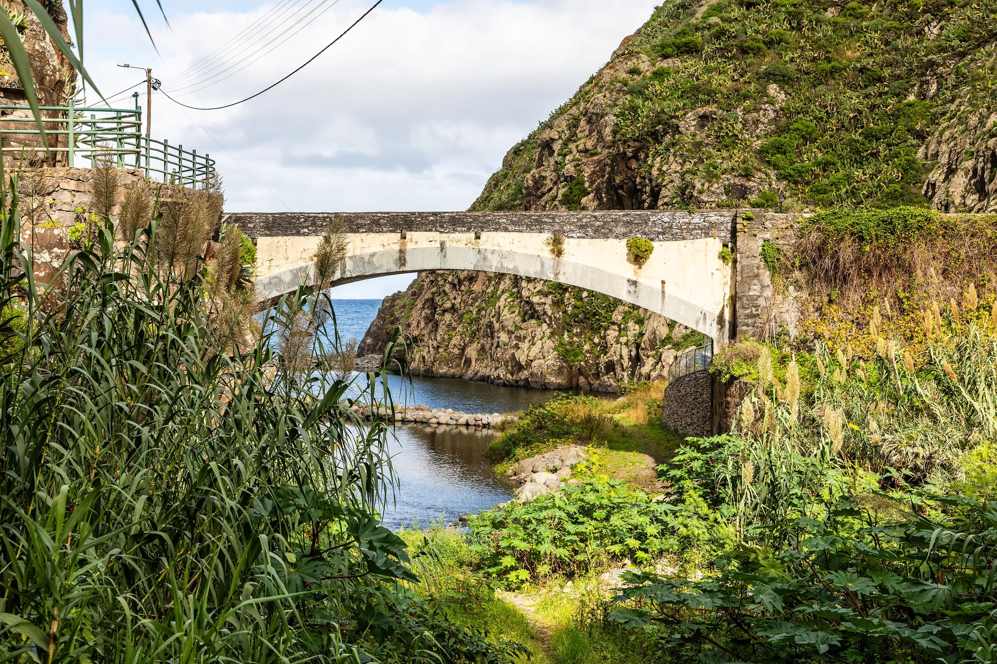
A long, narrow Azores island of sheer cliffs and fajãs, flat lava shelves by the sea.
Photo: Dietmar Rabich / CC BY-SA 4.0, via Wikimedia Commons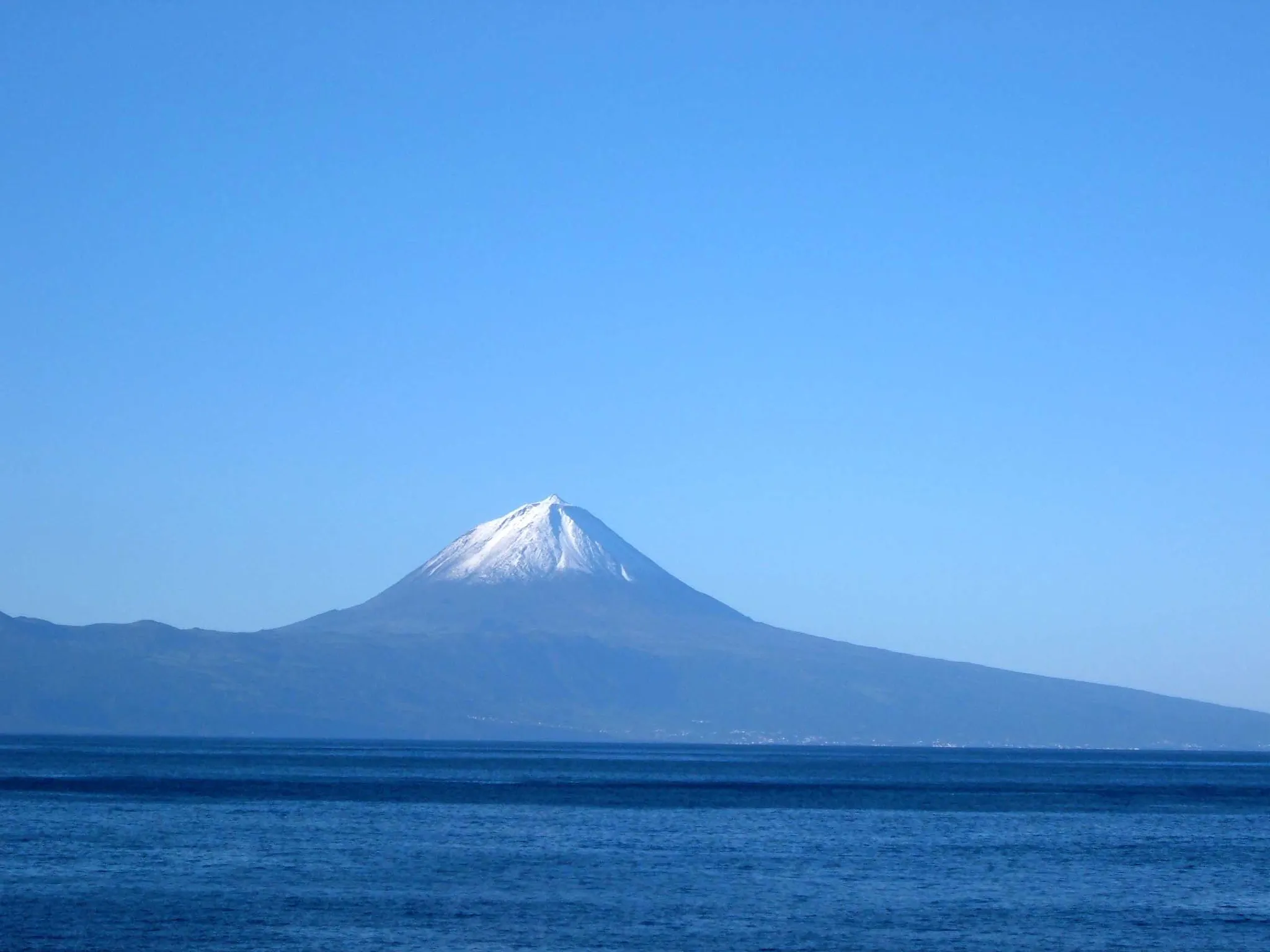
Portugal's highest mountain, a 2,351-metre volcano rising from the Atlantic.
Photo: Public domain, via Wikimedia Commons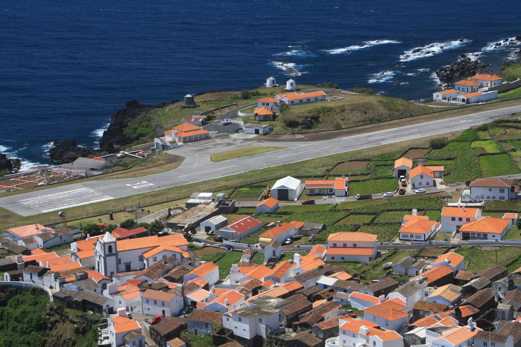
The smallest Azores island, one village and a volcanic crater.
Photo: Dreizung / CC BY-SA 3.0, via Wikimedia CommonsHow to place them
The 9 mainland places sit on a north-south line 280 km long, Ribeira, Porto to Belém Tower, Lisbon. A 35 km ring in the south catches Pena Palace, Sintra, Belém Tower, Lisbon, Vasco da Gama Bridge and 25 de Abril Bridge. São Miguel Island, Flores Island, Santa Maria Island, Graciosa Island, Faial Island, São Jorge Island, Mount Pico and Corvo Island: on the cards, off the map, none in the round.
São Miguel Island is rated easy and Pena Palace, Sintra and Graciosa Island hard; the other 14 sit in between. Corvo Island is the smallest Azores island, one village and a volcanic crater.
Portugal is one country. The daily draws from all 167.
Play the daily in the appQuestions & answers
How many locations does Portugal get?
Portugal has 17 in the pool, eight of them beyond the mainland map, Ribeira, Porto being the northernmost and Santa Maria Island the southernmost.
Which Portugal location is rated hardest?
Pena Palace, Sintra, Graciosa Island and 25 de Abril Bridge, among five rated hard. Miss by 451 km beyond the radius and half the points are gone.
Which Portugal photo forgives the widest miss?
Aim for Pena Palace, Sintra. Anything within 60 km of it counts as exact.