Photo location game · Europe
Russia landmarks quiz: guess where 26 photos were taken
Play a round of five photos from Russia, then see all 26 places with their photos, facts and spots on the map.
★ 4.7 on Google Play· 60 ratings· 1000+ downloads· Free
Five places from the 26 below, in random order. Each one scores by the distance from your pin to the real spot.
Tap the map where you think this is
Where they are
25 on the mapAll 26 places
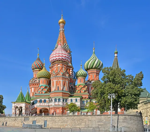
The swirl of colourful onion domes on Red Square.
Photo: Юрий Д.К. / CC BY 4.0, via Wikimedia Commons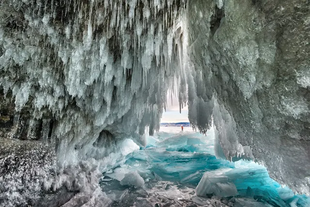
The world's deepest lake, its Siberian surface glassy with winter ice.
Photo: Sergey Pesterev / CC BY-SA 4.0, via Wikimedia Commons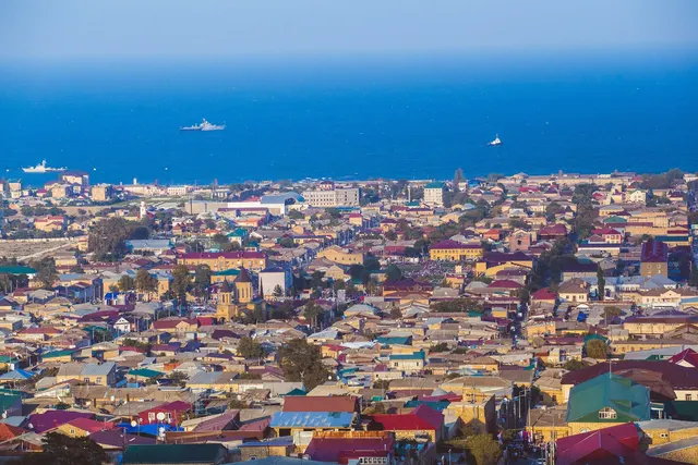
Russia's oldest city, guarded by a Persian-era citadel on the Caspian.
Photo: Аль-Гимравий / CC BY-SA 3.0, via Wikimedia Commons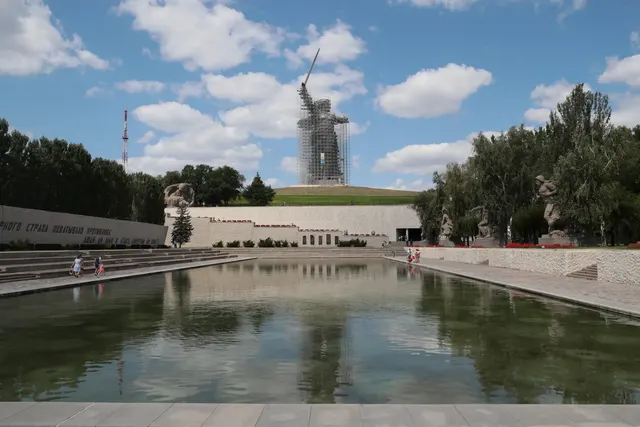
An 85-metre statue of a woman with a raised sword, memorial to the Battle of Stalingrad.
Photo: duma.gov.ru / CC BY 4.0, via Wikimedia Commons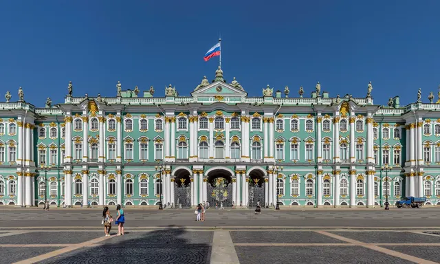
The green-and-white baroque residence of the tsars, now the Hermitage Museum.
Photo: Florstein (Telegram:WikiPhoto.Space) / CC BY-SA 4.0, via Wikimedia Commons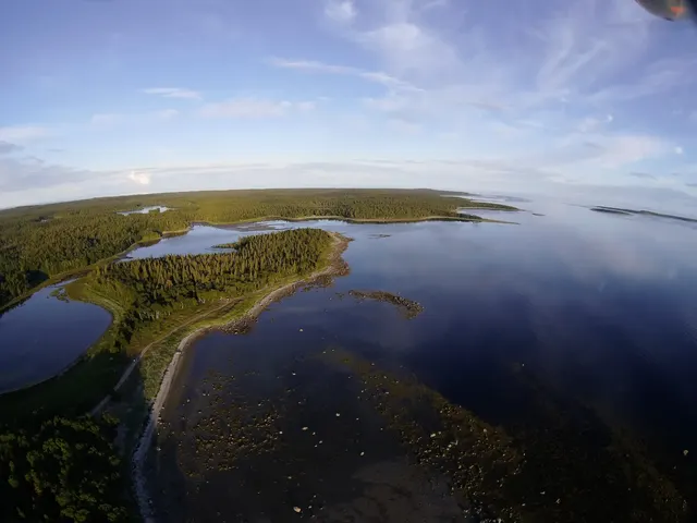
White Sea islands with a fortified monastery that later became a Soviet prison camp.
Photo: Trasprd / CC BY-SA 4.0, via Wikimedia Commons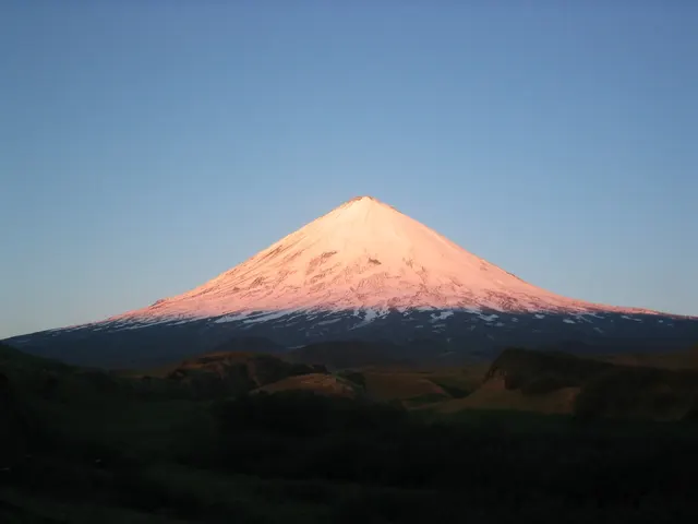
The highest active volcano in Eurasia, a 4,750-metre cone on Kamchatka.
Photo: Public domain, via Wikimedia Commons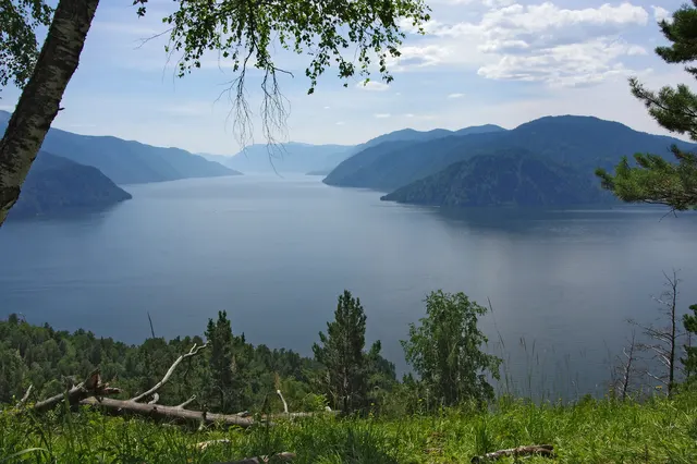
The 'little Baikal', a deep mountain lake in the Altai.
Photo: Grozovsky / CC BY-SA 4.0, via Wikimedia Commons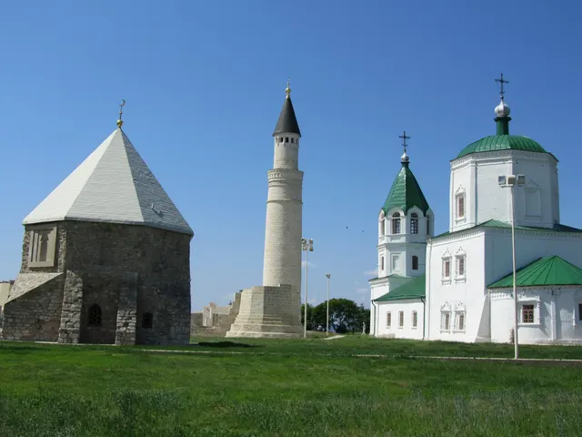
The medieval capital of Volga Bulgaria, with a minaret beside a white mosque.
Photo: Indeikin / CC BY-SA 3.0, via Wikimedia Commons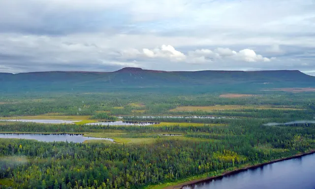
A remote Siberian plateau of basalt canyons and countless waterfalls.
Photo: jxandreani / CC BY 2.0, via Wikimedia Commons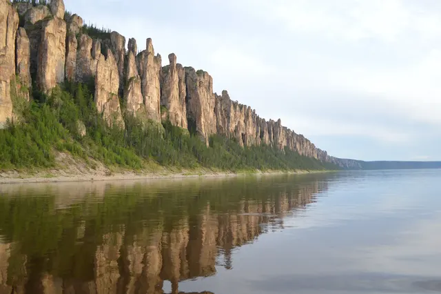
A wall of rock pillars up to 100 metres high lining the Lena River.
Photo: VasilyevaED / CC BY-SA 4.0, via Wikimedia Commons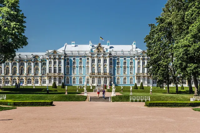
The blue-and-gold rococo summer palace of the tsarinas, home of the Amber Room.
Photo: Florstein (Telegram:WikiPhoto.Space) / CC BY-SA 4.0, via Wikimedia Commons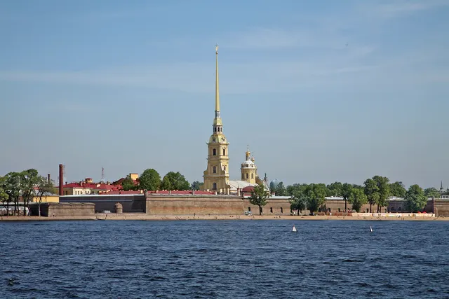
The citadel where St Petersburg began in 1703, with a 122-metre golden spire.
Photo: W. Bulach / CC BY-SA 4.0, via Wikimedia Commons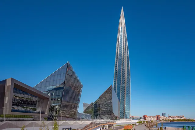
Europe's tallest building, a 462-metre glass spire on the Gulf of Finland.
Photo: Florstein (Telegram:WikiPhoto.Space) / CC BY-SA 4.0, via Wikimedia Commons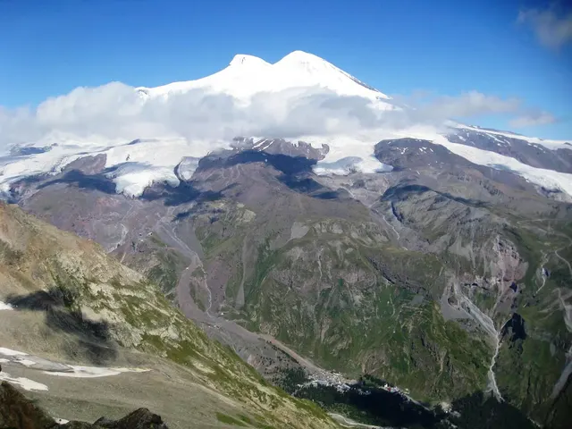
The highest mountain in Europe, a twin-peaked volcano in the Caucasus.
Photo: Jason Blue-Smith / CC BY-SA 2.0, via Wikimedia Commons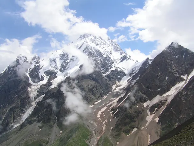
The second highest peak of the Caucasus, a 5,205-metre wall of ice.
Photo: Shaman17 / CC BY-SA 3.0, via Wikimedia Commons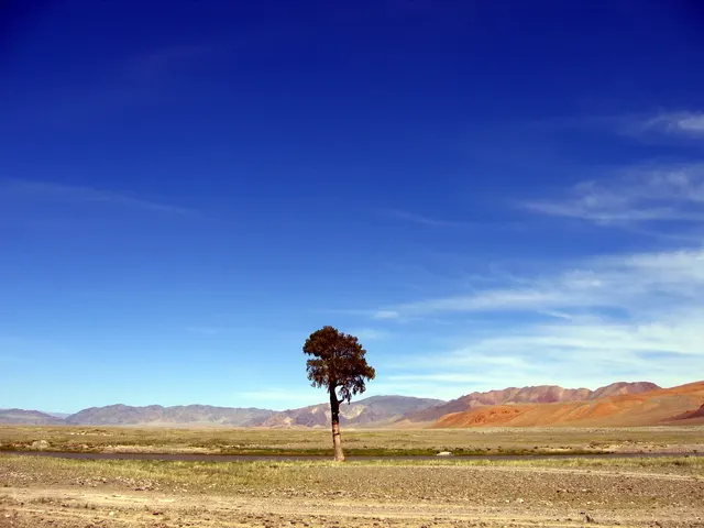
A vast highland of steppe and desert between Siberia and China.
Photo: tiarescott / CC BY 2.0, via Wikimedia Commons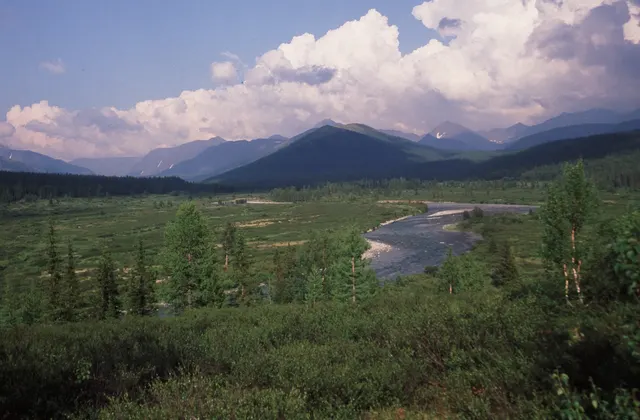
The largest virgin forest in Europe, on the western slopes of the Urals.
Photo: Demeulenaer & Van Ginderdeuren / CC BY 3.0, via Wikimedia Commons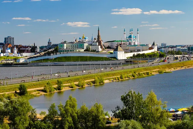
A white-walled citadel where a leaning tower and a modern mosque share the skyline.
Photo: Fendes / CC BY-SA 4.0, via Wikimedia Commons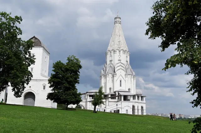
A former royal estate in Moscow with a white tent-roofed church from 1532.
Photo: Vyacheslav Argenberg / CC BY 4.0, via Wikimedia Commons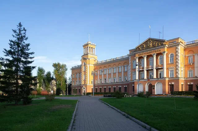
The 'Paris of Siberia', a city of wooden lace houses near Lake Baikal.
Photo: Vyacheslav Argenberg / CC BY 4.0, via Wikimedia Commons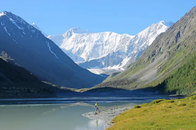
The highest peak of the Altai Mountains, on the Russia–Kazakhstan border.
Photo: AnnaMozhaeva0612 / CC BY-SA 4.0, via Wikimedia Commons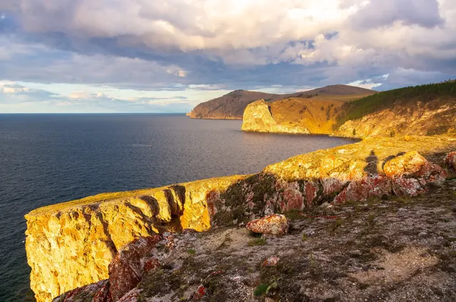
The largest island in Lake Baikal, with the sacred Shaman Rock.
Photo: Vyacheslav Argenberg / CC BY 4.0, via Wikimedia Commons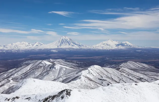
An active volcano looming over the city of Petropavlovsk-Kamchatsky.
Photo: NadezhdaKhaustova / CC BY-SA 4.0, via Wikimedia Commons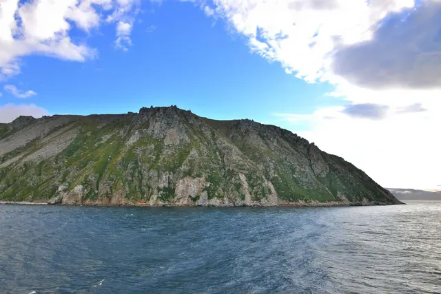
A Russian island in the Bering Strait, 3.8 km from Alaska and a day ahead of it.
Photo: Ansgar Walk / CC BY-SA 3.0, via Wikimedia Commons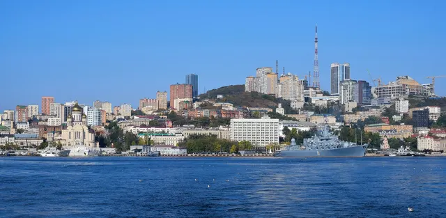
Russia's Pacific port at the end of the Trans-Siberian Railway.
Photo: Vyacheslav Bukharov / CC BY-SA 4.0, via Wikimedia CommonsHow to place them
St Petersburg is four places within 25 km: the Winter Palace, the Peter and Paul Fortress and the Lakhta Centre in the city, the Catherine Palace at Pushkin to the south. Moscow has St Basil's and Kolomenskoye. Kazan's kremlin and Bolghar are on the Volga 700 km east of Moscow, and the Motherland Calls stands at Volgograd, 900 km south-east.
The Caucasus is the southern edge: Elbrus and Dykh-Tau are 65 km apart, and Derbent is the southernmost place, on the Caspian shore. The Solovetsky Islands are in the White Sea and the Komi forests in the northern Urals, both up at 65 north.
Then Siberia, where the distances beat everyone. Baikal, Olkhon Island and Irkutsk are one cluster at 104 to 108 east, and Baikal is the expert round. Teletskoe and Belukha are the Altai, 1,400 km west of it. The Putorana Plateau is far north, east of the Yenisei. The Lena Pillars are 1,400 km north-east of Baikal. Klyuchevskaya and Avachinsky are Kamchatka on the Pacific, and Vladivostok is the Pacific coast at the Korean end. Big Diomede sits in the Bering Strait 4 km from Alaska and off the edge of this map.
The daily in the app mixes photos from all 167 countries in the game, five a day, the same five for everyone.
Play the dailyQuestions & answers
How many places from Russia can come up?
Russia has 26 places in the game. Putorana Plateau is the furthest north and Derbent the furthest south. The map does not reach Big Diomede.
What is the hardest photo from Russia?
Lake Baikal, the only photo rated expert. You lose half the points for every 693 km you miss by.
Which photo from Russia gives the most room for error?
Try Lake Baikal. Anything within 120 km of it counts as a direct hit.