Photo location game · Europe
Slovakia landmarks quiz: guess where 10 photos were taken
The 10 Slovakia locations from the game, laid out with their photos and facts. Play a round first, then read.
★ 4.7 on Google Play· 60 ratings· 500+ downloads· Free
Five Slovakia photos. For each one, tap the spot on the map and see how far off you were.
Tap the map where you think this is
Where they are
10 on the mapAll 10 places
by id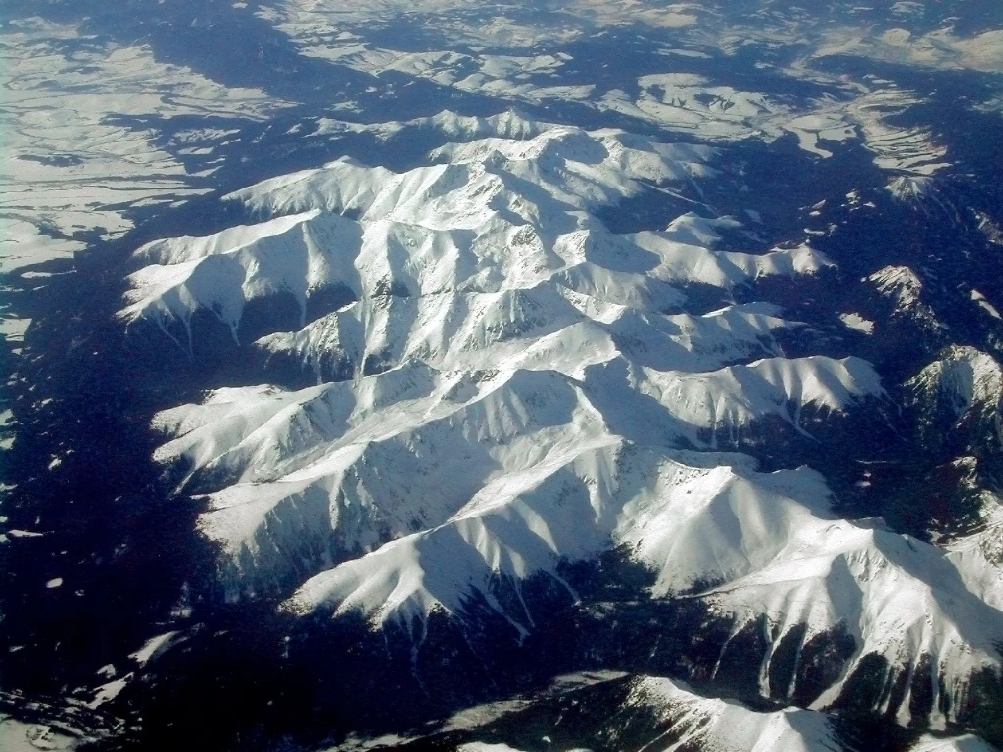
The oldest national park in Slovakia, the highest peaks of the Carpathians.
Photo: Piotr J / CC BY 2.5, via Wikimedia Commons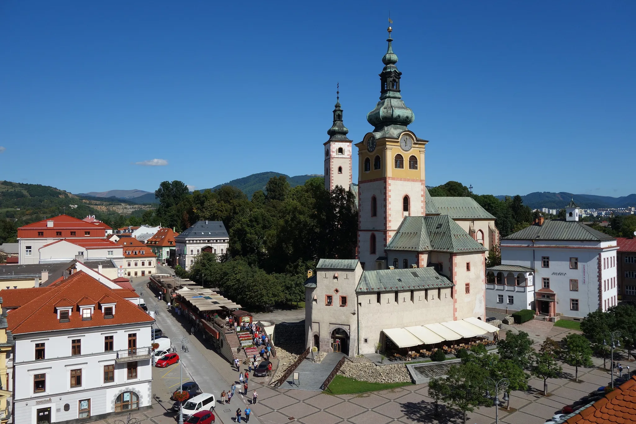
A Slovak mining town with a leaning clock tower on its main square.
Photo: Milan Bališin / CC BY-SA 4.0, via Wikimedia Commons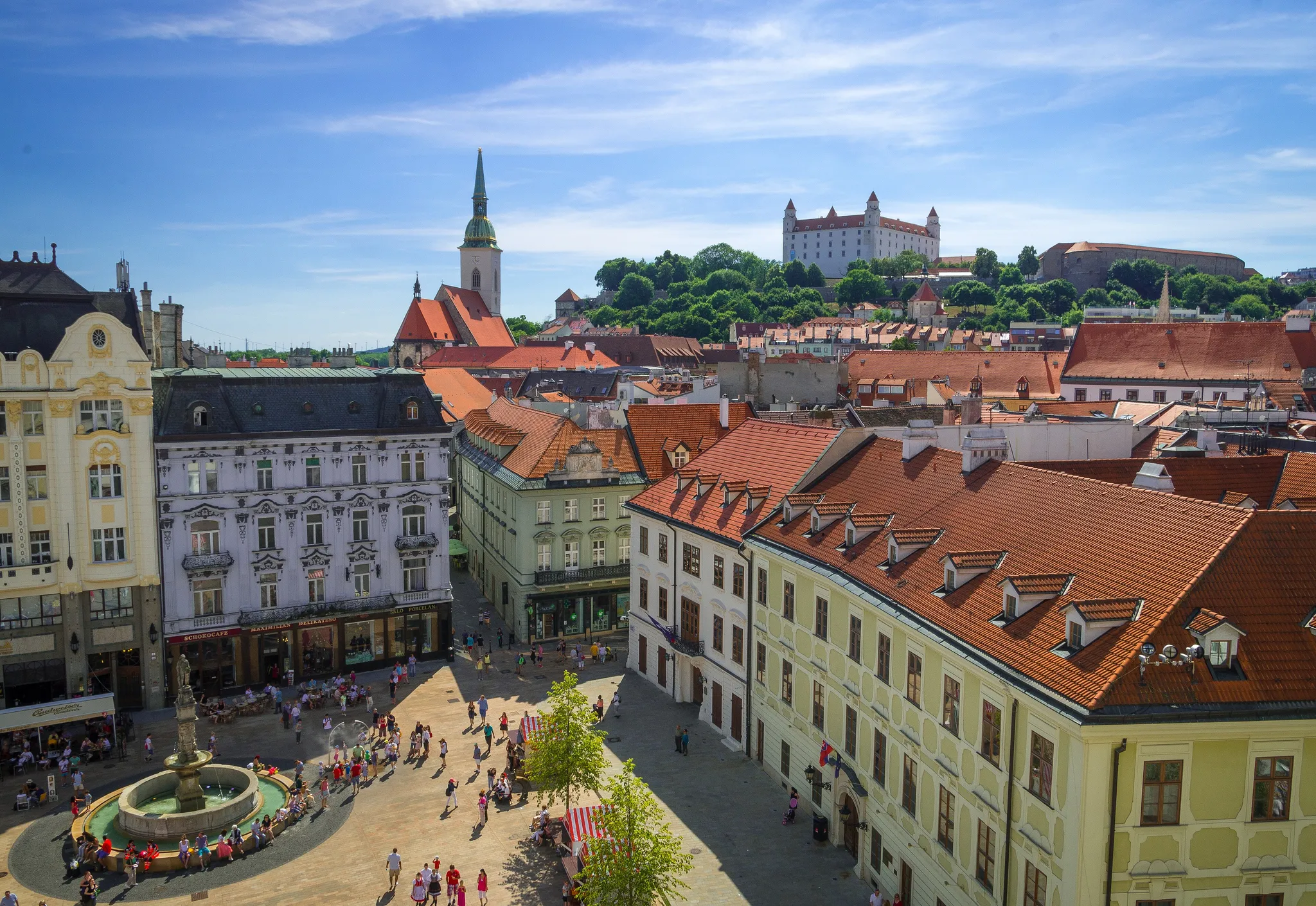
The Slovak capital on the Danube, with a white castle above the old town.
Photo: Rob Hurson from Kentstown, Ireland / CC BY-SA 2.0, via Wikimedia Commons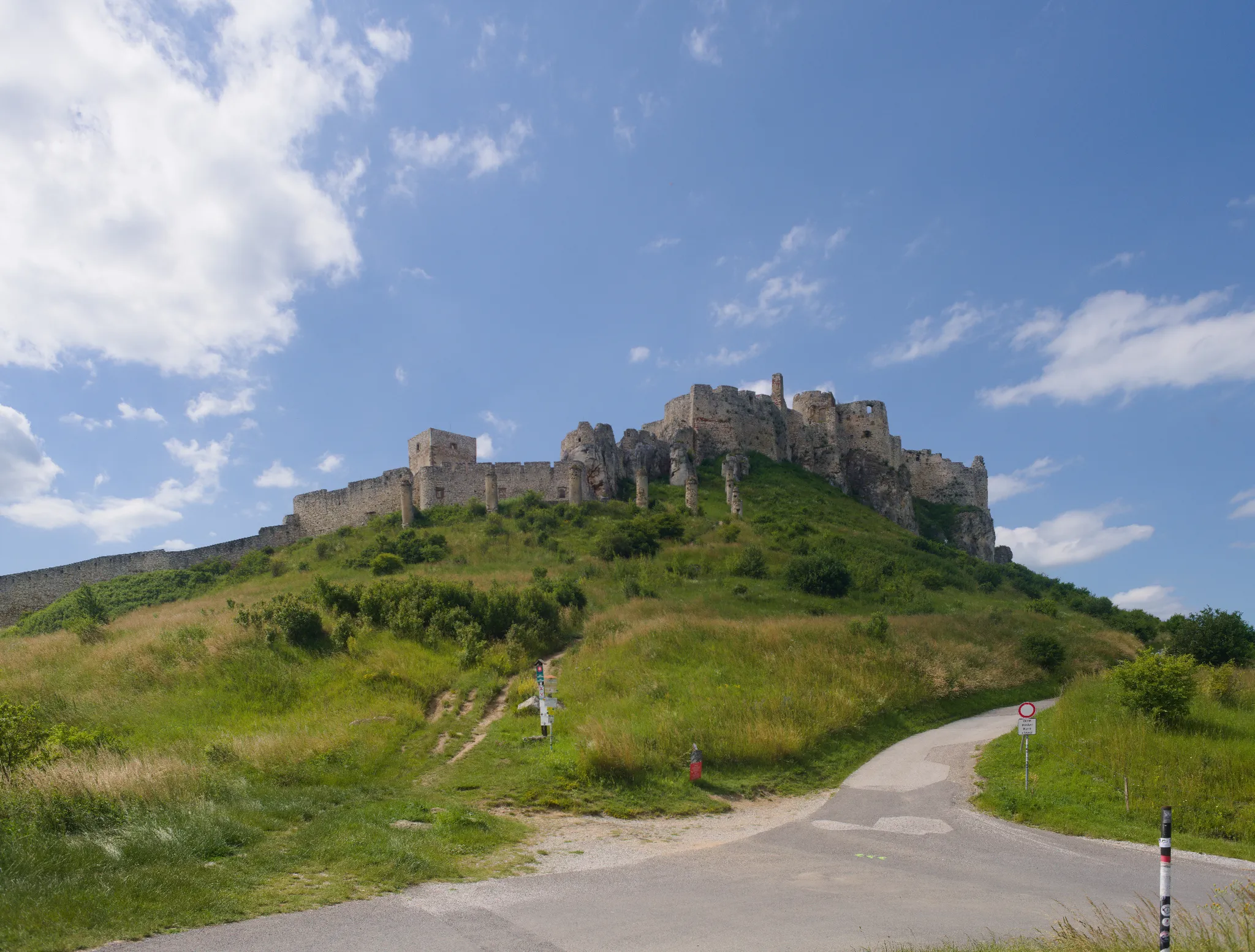
One of the largest castle ruins in Central Europe, sprawling over a limestone hill.
Photo: Andrei Stroe / CC BY-SA 4.0, via Wikimedia Commons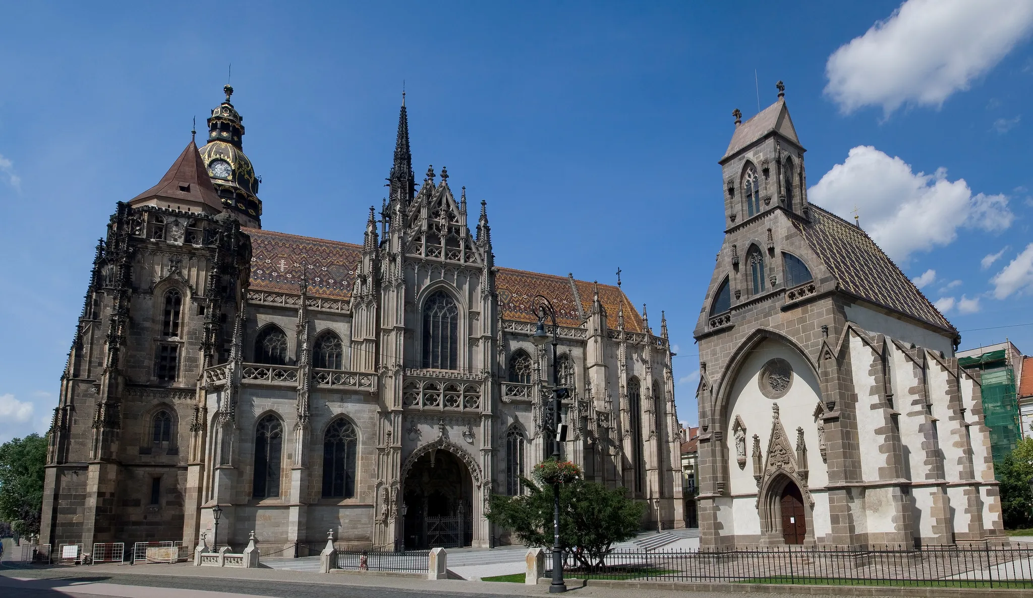
Slovakia's second city, with the easternmost Gothic cathedral in Europe.
Photo: Maros M r a z (Maros) / CC BY 2.5, via Wikimedia Commons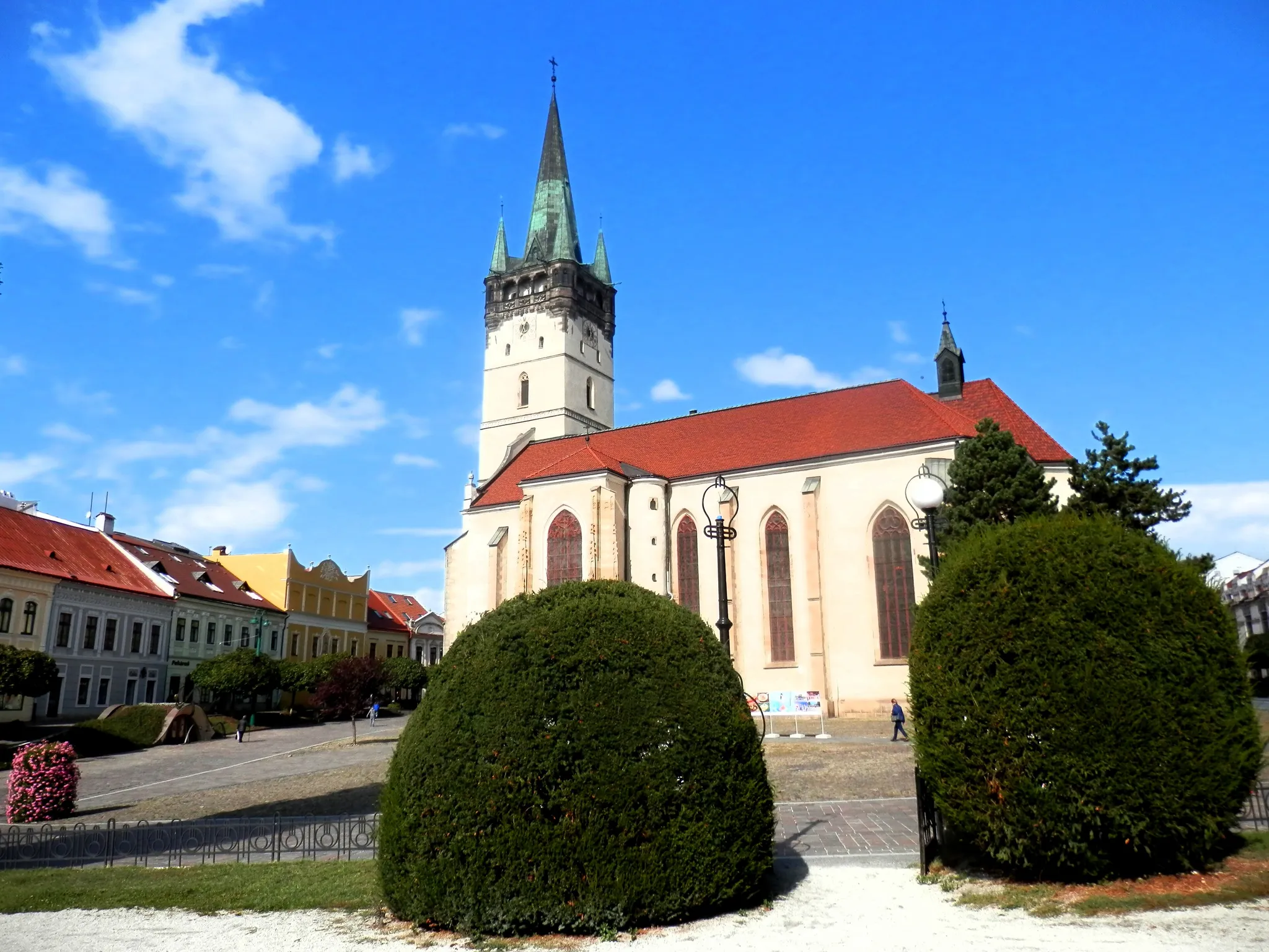
A Slovak city with a Gothic cathedral on a long spindle-shaped square.
Photo: Ing.Mgr.Jozef Kotulič / CC BY-SA 4.0, via Wikimedia Commons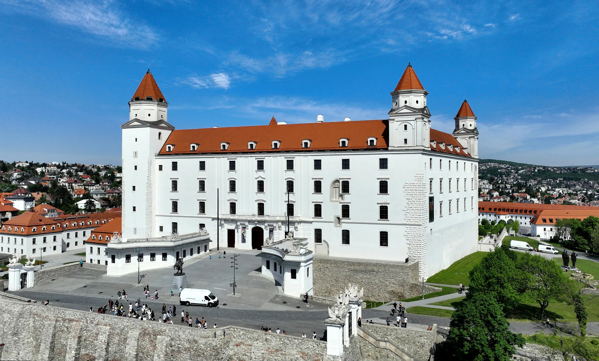
A white four-towered castle on a hill above the Danube, shaped like an upturned table.
Photo: C.Stadler/Bwag / CC BY-SA 4.0, via Wikimedia Commons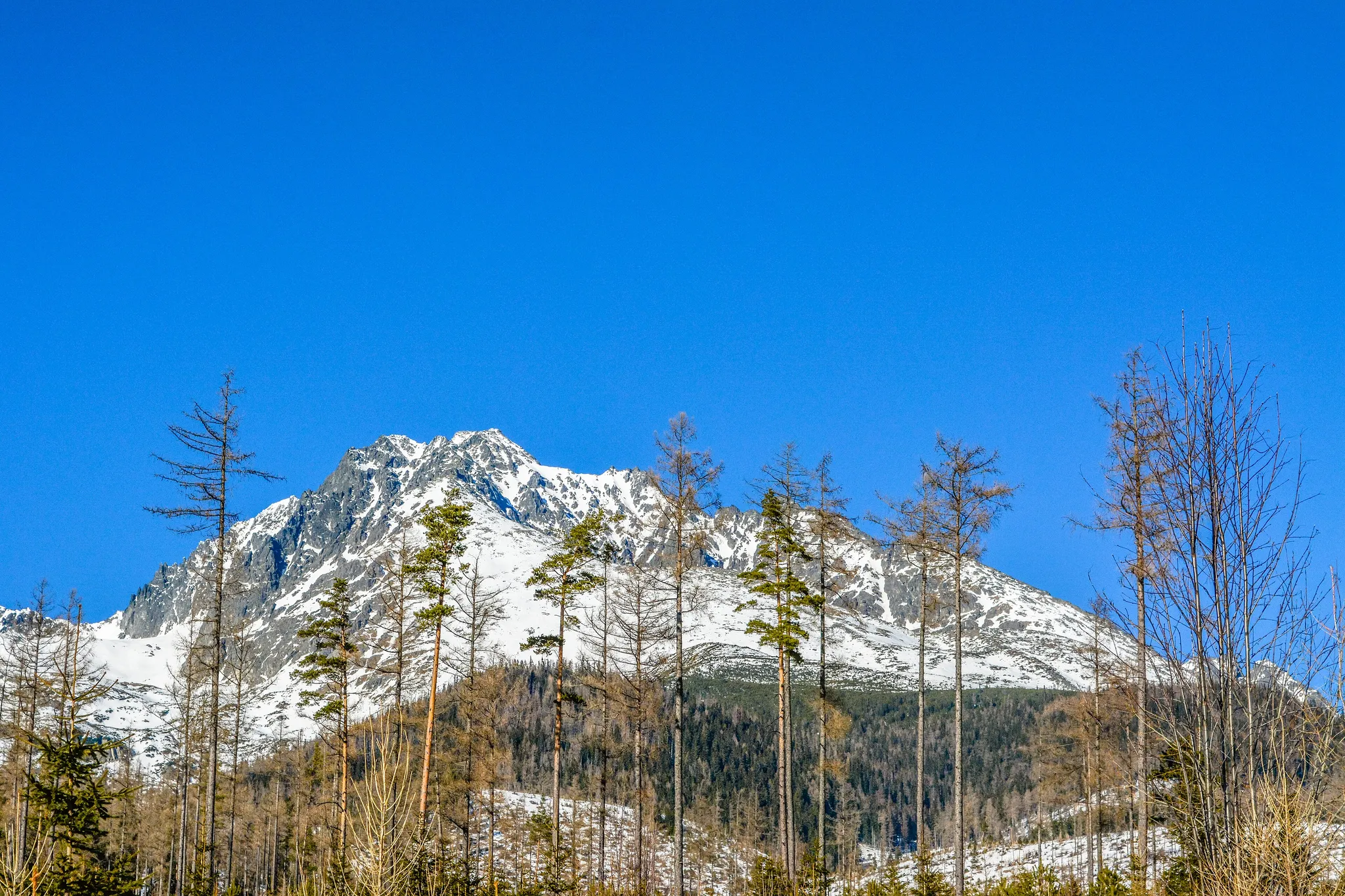
The highest peak of the Carpathians, 2,655 metres in the High Tatras.
Photo: Midnight Runner / CC BY-SA 4.0, via Wikimedia Commons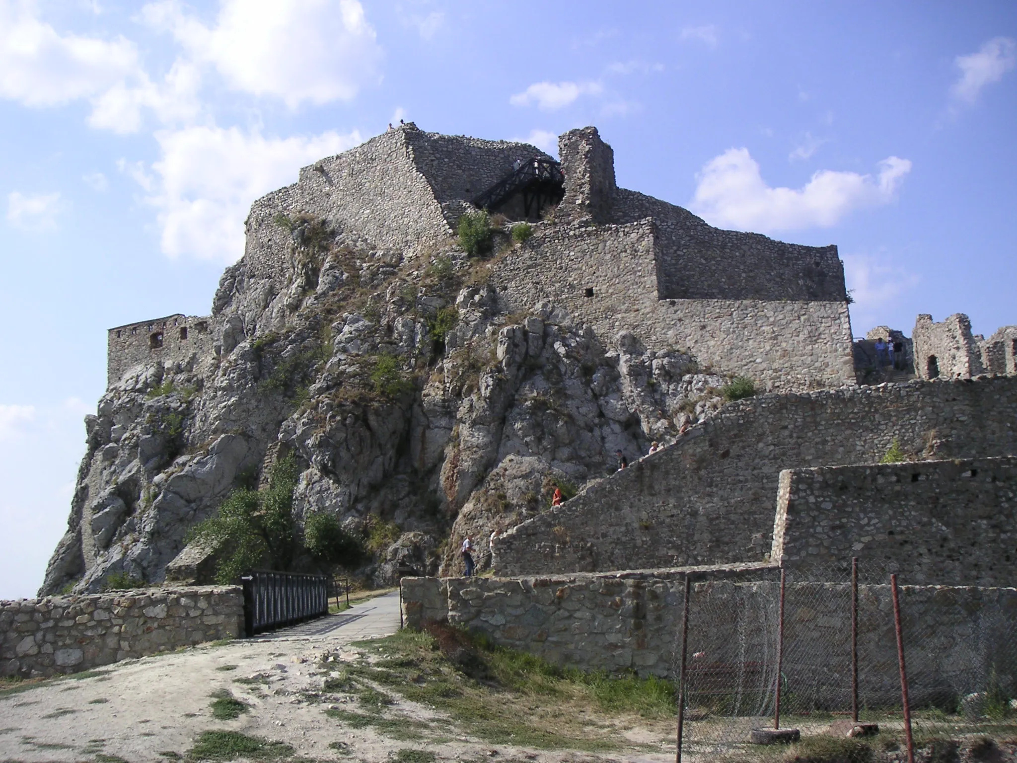
A ruined castle on a cliff where the Morava meets the Danube, on the Austrian border.
Photo: Unknown author / CC BY-SA 3.0, via Wikimedia Commons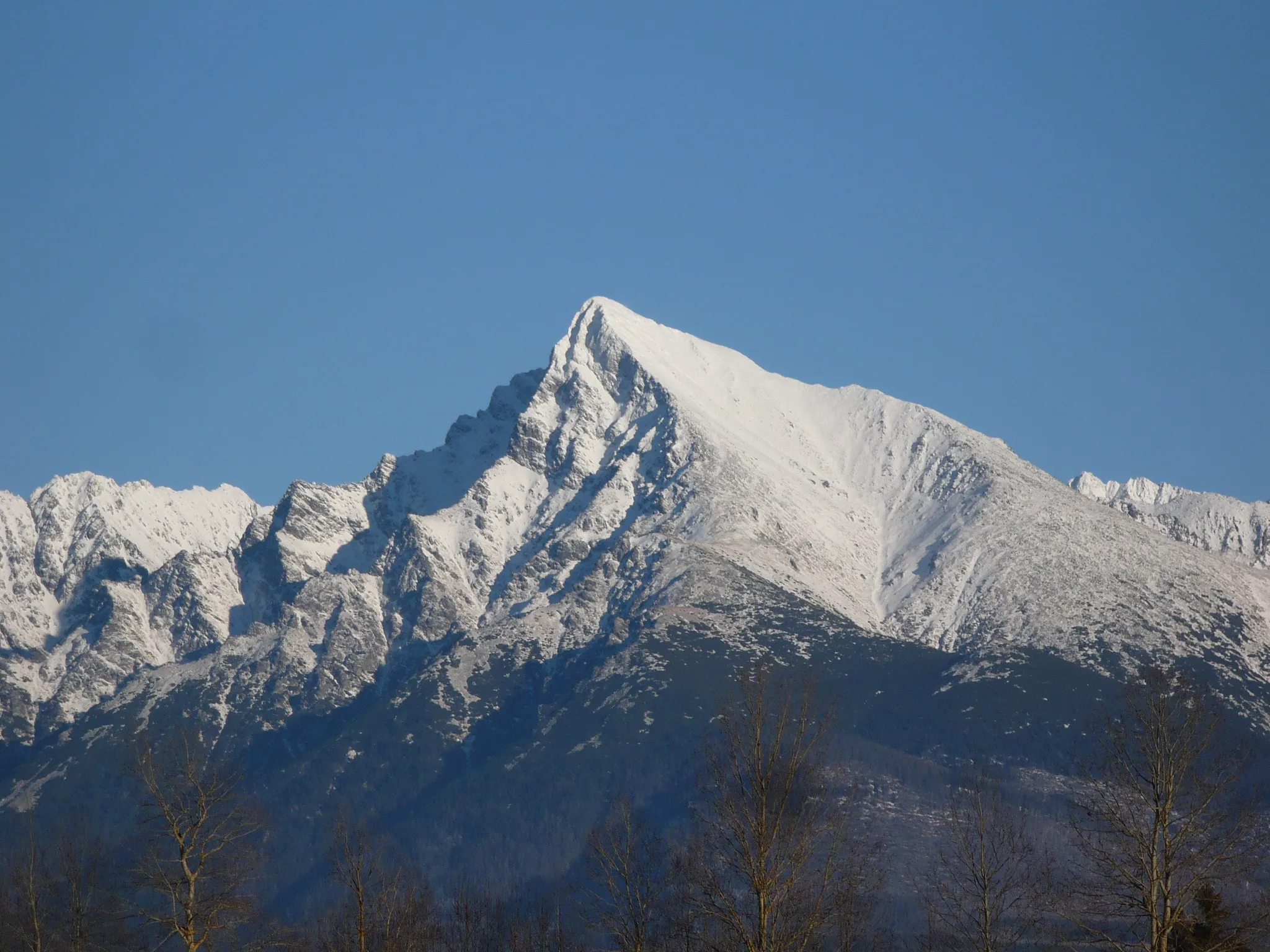
Slovakia's national mountain, a 2,495-metre peak on the 5-cent euro coin.
Photo: Achernar / CC BY-SA 3.0, via Wikimedia CommonsHow to place them
Devín Castle on the west side, Košice on the east, and 320 km of country between. The north-east is the crowded corner: Tatra National Park, Gerlachovský štít and Kriváň, all inside 40 km.
Five of 10 rated hard: Slovakia does not give points away. Relief comes from Bratislava, rated easy. Bratislava Castle is a white four-towered castle on a hill above the Danube, shaped like an upturned table.
Slovakia is one country. The daily draws from all 167.
Play the daily in the appQuestions & answers
How many Slovakia photos does the game have?
10. They run from Tatra National Park down to Bratislava Castle, and a round takes five at random.
What is the hardest Slovakia round?
Start with Banská Bystrica, Košice and Prešov; two more share the rating. Hard photos halve in value with each 451 km of miss.
Where is full marks easiest in Slovakia?
Tatra National Park: 60 km of leeway, the most generous circle on this page.