
Country quiz · Europe
Slovakia quiz
We ask about Slovakia in 7 quizzes: one trivia question, 10 Explorer photos, flag, capital, outline and the Europe map. Bratislava and Tatra National Park are among its 10 photos.
★ 4.7 on Google Play· 60 ratings· 1000+ downloads· Free
8 questions about Slovakia only, mixed from every pack it appears in. Scored on the spot.
Slovakia at a glance
| Capital | Bratislava |
|---|---|
| Continent | Europe |
| Location | Central Europe, south of Poland |
| Population | 5.6 million (2024 estimate), 116th of 196 |
| Area | 49,035 km², 125th of 196 |
| People per km² | 113 |
| Land borders | Hungary (627 km), Poland (517 km), Czechia (241 km), Austria (105 km), Ukraine (97 km) |
| Coastline | None, landlocked |
| Highest point | Gerlachovsky Stit, 2,655 m |
| Official language | Slovak |
| Flag colours | white, blue and red |
| Drives on the | right |
| Calling code | +421 |
| Terrain | Rugged mountains in the central and northern part and lowlands in the south |
| Climate | Temperate; cool summers; cold, cloudy, humid winters |
| Where the name comes from | The country takes its name from the local Slav ethnic group; the origin of the group's name is unclear, although early forms were used in Medieval Latin (Sclavus) and Byzantine Greek (Sklabos) |
| In our quizzes | 7 packs |
Slovakia is landlocked and touches 5 countries; Hungary has the longest border with it (627 km), Ukraine the shortest (97 km). By area Slovakia is 125th of 196 countries, just behind Costa Rica and ahead of the Dominican Republic.
Facts from the CIA World Factbook and Wikidata; questions from our quiz packs. Updated .
Where it is
Places to find
10 in Explorer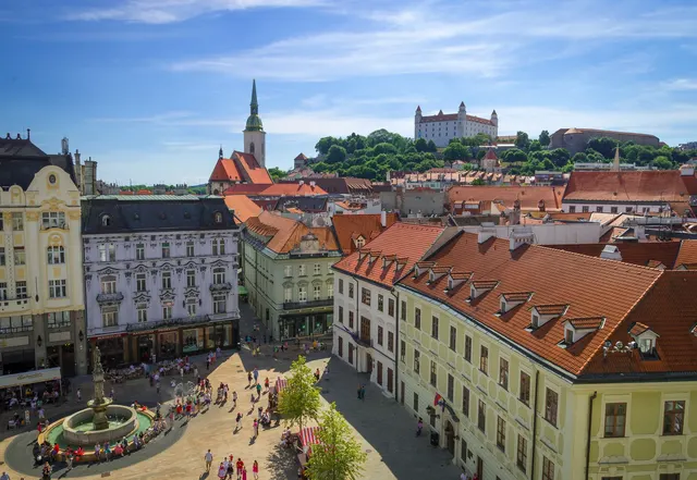
The Slovak capital on the Danube, with a white castle above the old town.
Photo: Rob Hurson from Kentstown, Ireland / CC BY-SA 2.0, via Wikimedia Commons licence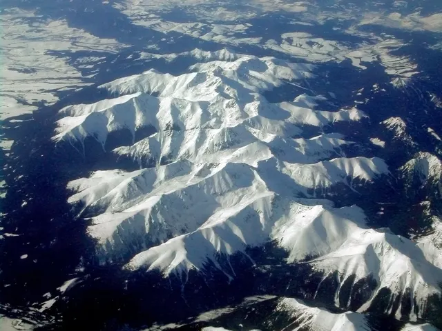
The oldest national park in Slovakia, the highest peaks of the Carpathians.
Photo: Piotr J / CC BY 2.5, via Wikimedia Commons licence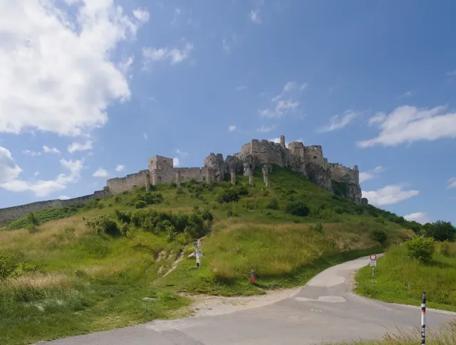
One of the largest castle ruins in Central Europe, sprawling over a limestone hill.
Photo: Andrei Stroe / CC BY-SA 4.0, via Wikimedia Commons licence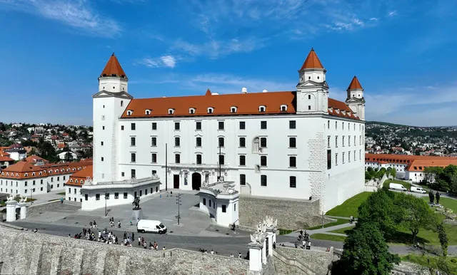
A white four-towered castle on a hill above the Danube, shaped like an upturned table.
Photo: C.Stadler/Bwag / CC BY-SA 4.0, via Wikimedia Commons licence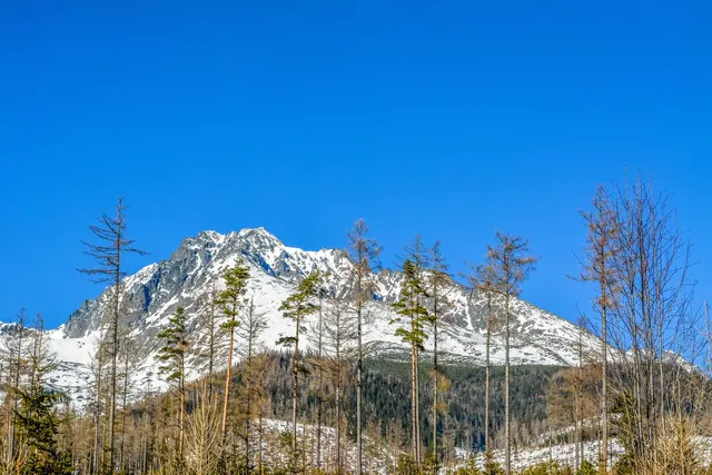
The highest peak of the Carpathians, 2,655 metres in the High Tatras.
Photo: Midnight Runner / CC BY-SA 4.0, via Wikimedia Commons licence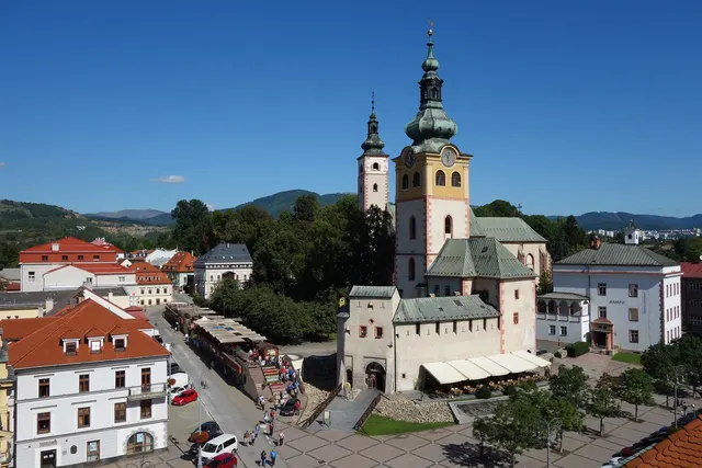
A Slovak mining town with a leaning clock tower on its main square.
Photo: Milan Bališin / CC BY-SA 4.0, via Wikimedia Commons licenceAll 10 Slovakia photos in Explorer →
Questions we ask
4| Question | Answer |
|---|---|
| What is the capital of Slovakia? | Bratislava |
| Bratislava is the capital of which European country? | Slovakia |
| Bratislava borders both Austria and Hungary. Which country is it the capital of? | Slovakia |
| The High Tatras lie on the border between Slovakia and which country? | Poland |
Facts from our quizzes
Slovakia, question by question
Czechia is a wrong choice for Bratislava and again for Slovakia's outline. Russia, Slovenia and Serbia sit beside Slovakia in the flag round. The shape question offers Czechia, Hungary and Austria.
Trivia asks: “The High Tatras lie on the border between Slovakia and which country?” The answer is Poland. Explorer pins 10 photos in Slovakia; Banská Bystrica and Košice are marked hard.
Every Slovakia question, with streaks and a leaderboard, is in the app.
PlayQuestions and answers
Which continent is Slovakia in?
Slovakia is in Europe.
What is the population of Slovakia?
About 5.6 million (2024 estimate).
Which countries border Slovakia?
Slovakia borders Hungary, Poland, Czechia, Austria and Ukraine.
What is the highest point in Slovakia?
Gerlachovsky Stit, at 2,655 m.
What is the official language of Slovakia?
Slovak.