Photo location game · Europe
United Kingdom landmarks quiz: guess where 29 photos were taken
The 29 United Kingdom locations from the game, laid out with their photos and facts. Play a round first, then read.
★ 4.7 on Google Play· 60 ratings· 500+ downloads· Free
The round is five photos long. Look, tap the map, read the distance, move on.
Tap the map where you think this is
Where they are
28 on the mapAll 29 places
by id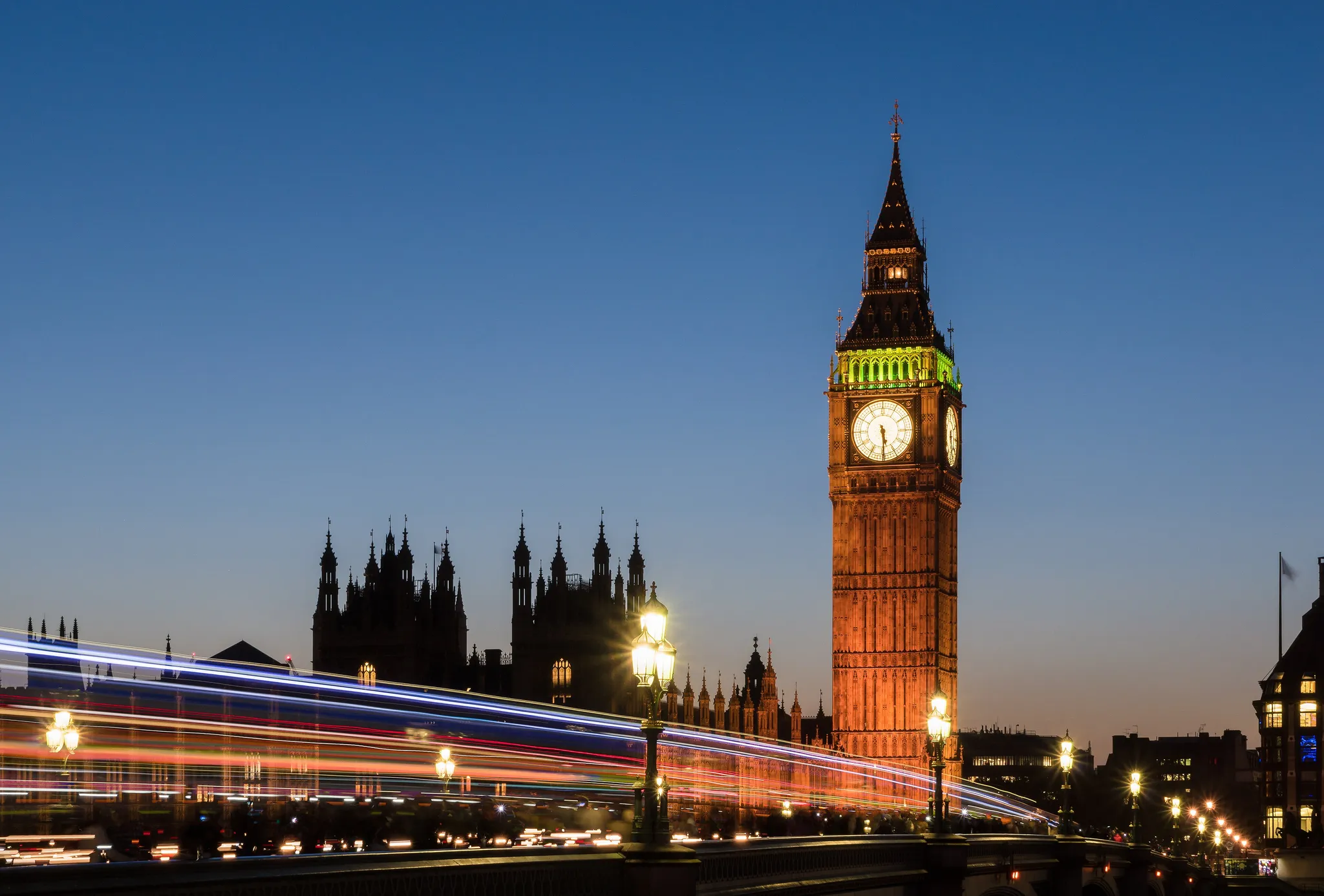
The clock tower of the Palace of Westminster beside the Thames.
Photo: Colin / CC BY-SA 4.0, via Wikimedia Commons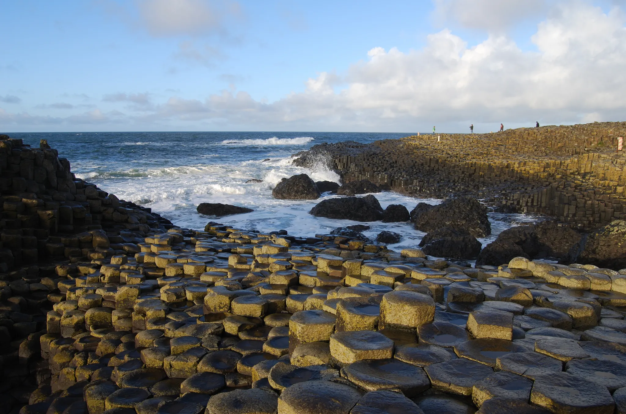
Interlocking basalt columns stepping into the North Atlantic.
Photo: Chmee2 / CC BY 3.0, via Wikimedia Commons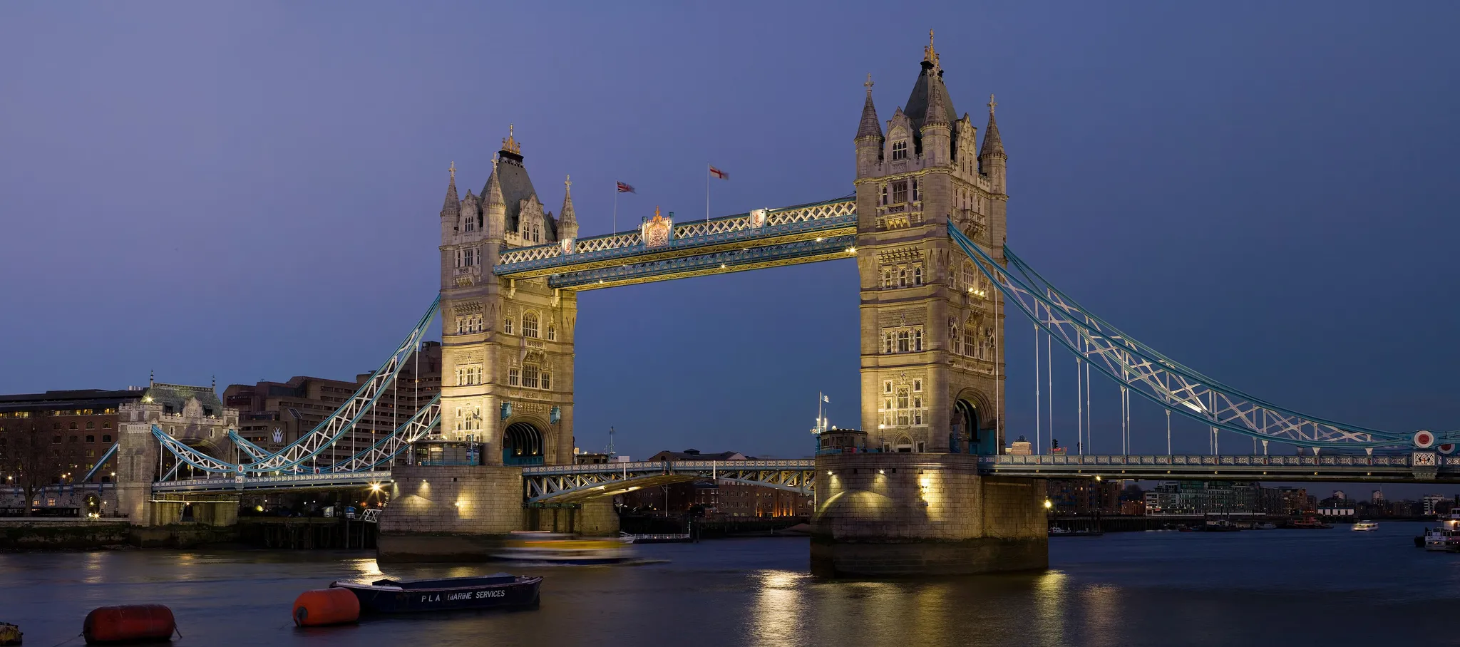
The twin-towered bascule bridge over the Thames.
Photo: Diliff / CC BY-SA 3.0, via Wikimedia Commons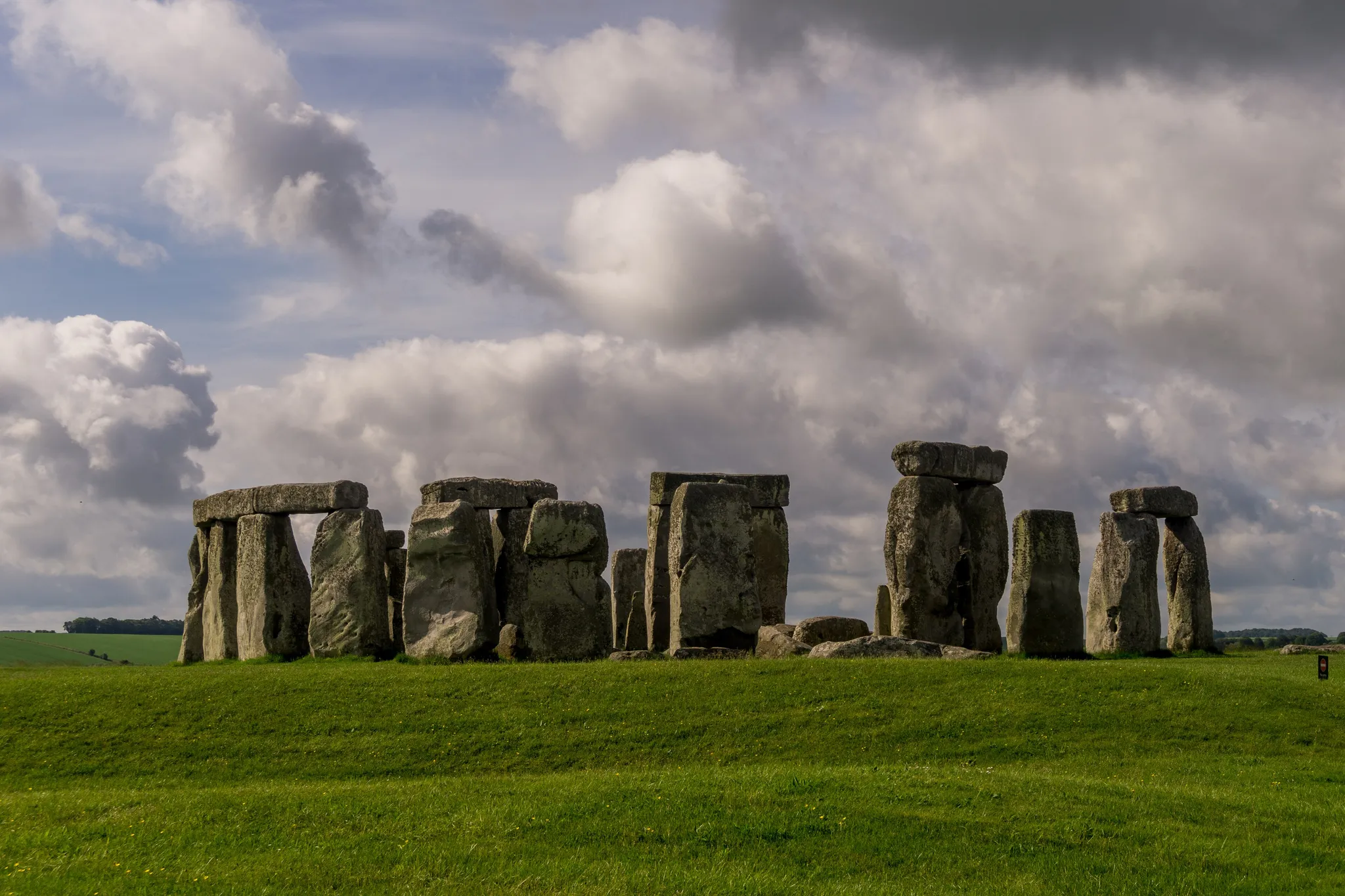
A prehistoric ring of standing stones on Salisbury Plain.
Photo: Sumit Surai / CC BY-SA 4.0, via Wikimedia Commons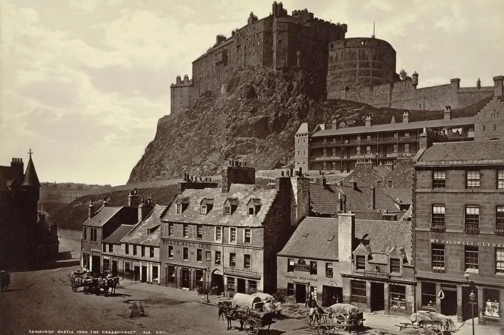
A fortress on a volcanic crag above the Scottish capital.
Photo: Public domain, via Wikimedia Commons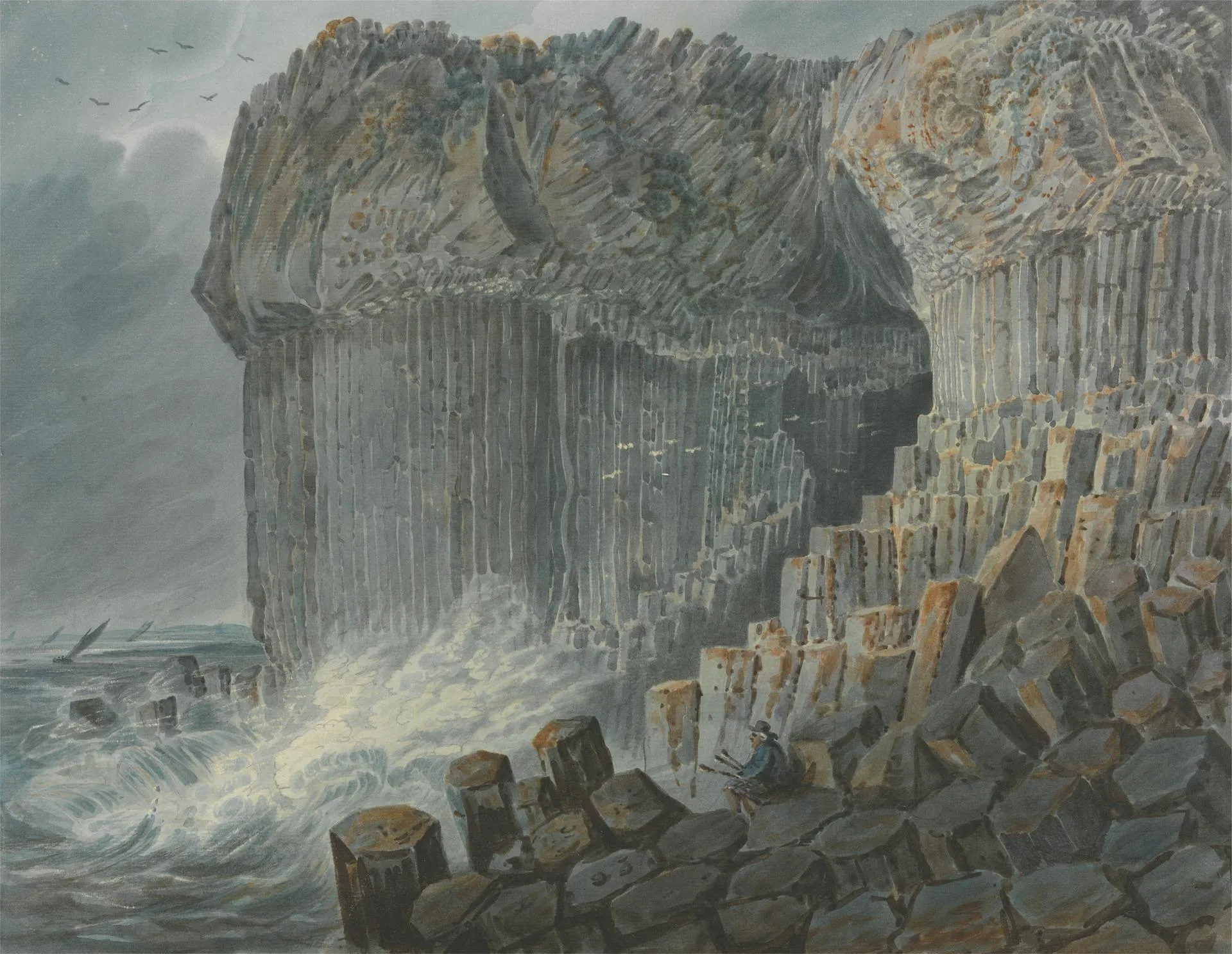
A sea cave of hexagonal basalt columns on a Hebridean isle.
Photo: George Cuitt / CC0, via Wikimedia Commons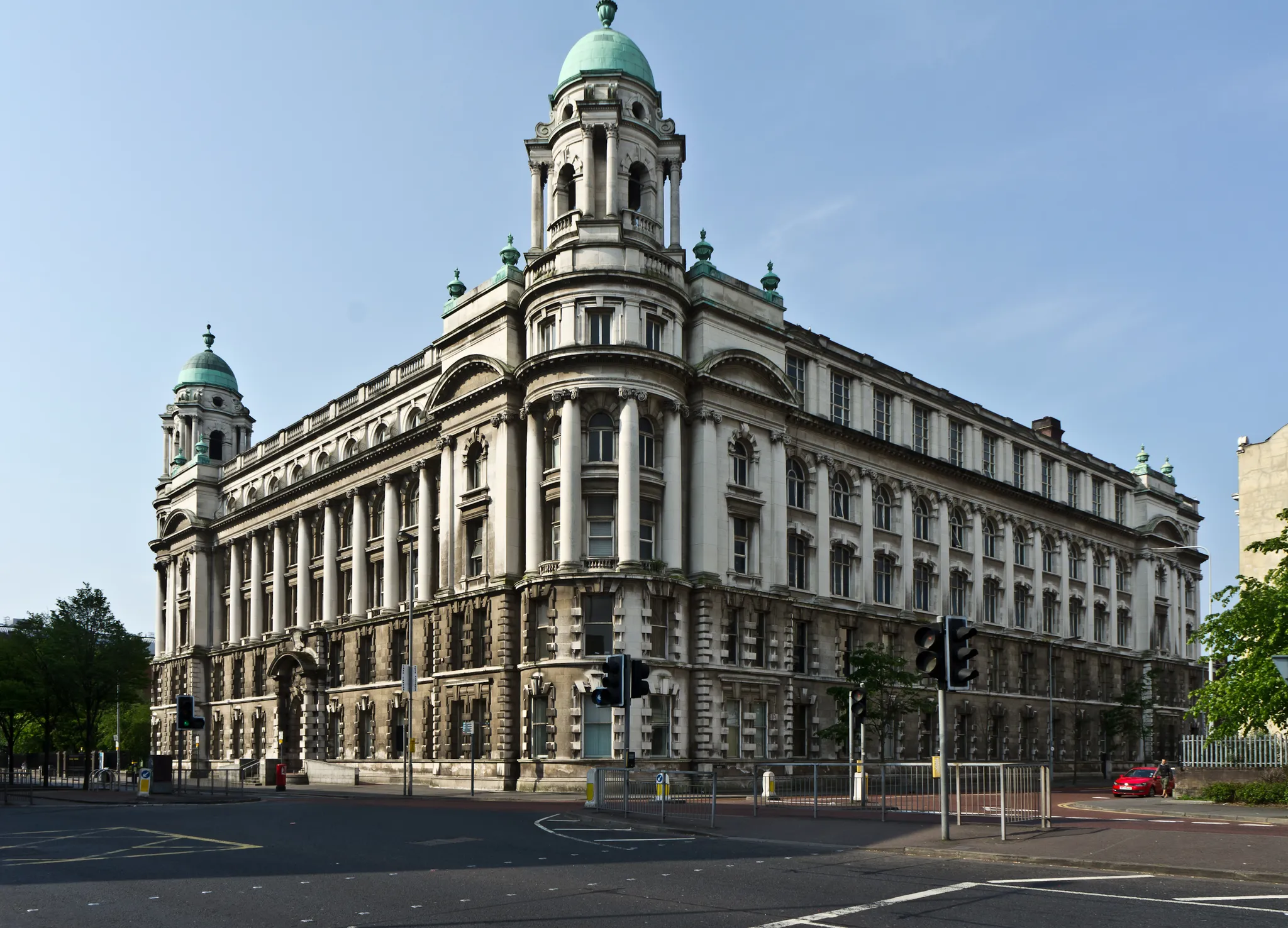
Northern Ireland's capital, where the Titanic was built, with a grand Edwardian city hall.
Photo: William Murphy uploaded and derivative work: MrPanyGoff / CC BY-SA 2.0, via Wikimedia Commons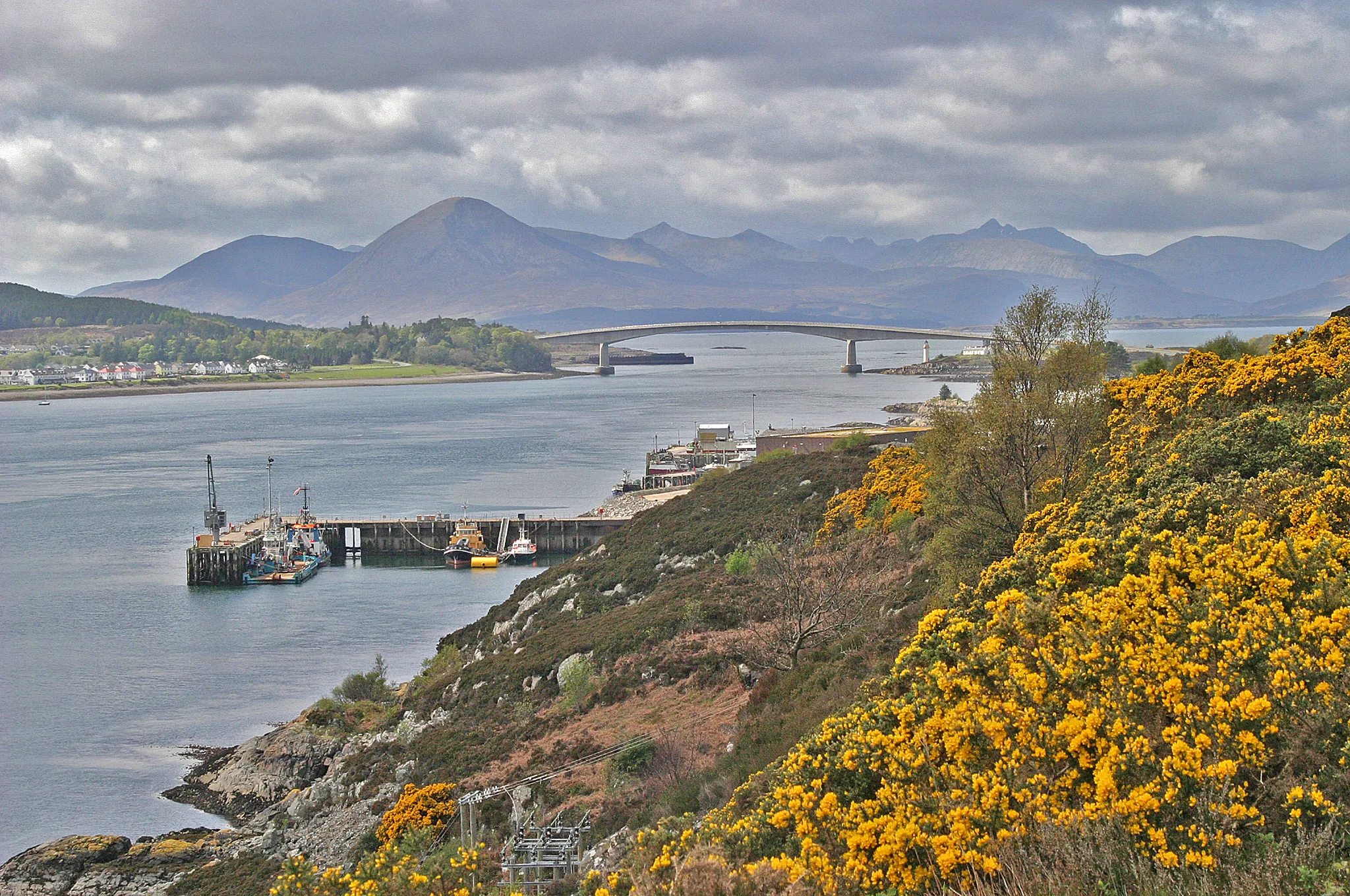
The largest of the Inner Hebrides, joined to the mainland by a road bridge since 1995.
Photo: W. Bulach / CC BY-SA 4.0, via Wikimedia Commons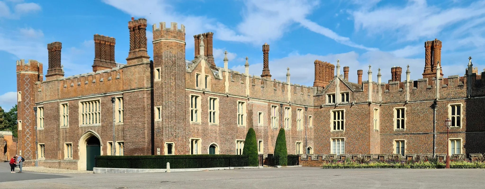
Henry VIII's Tudor palace on the Thames, with a famous hedge maze.
Photo: Ricardalovesmonuments / CC BY-SA 4.0, via Wikimedia Commons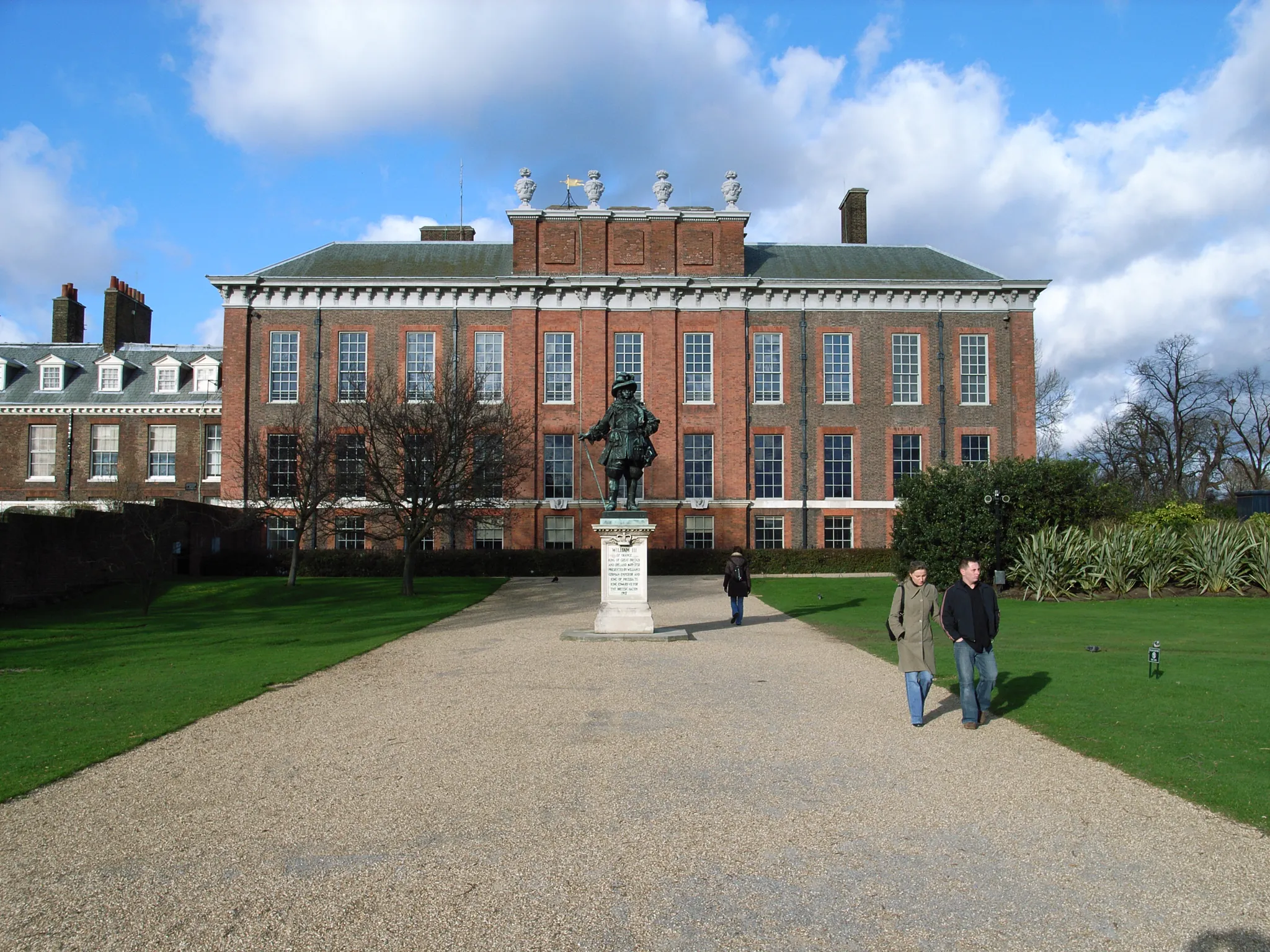
The London royal residence where Queen Victoria was born.
Photo: Steve Cadman from London, U.K. / CC BY-SA 2.0, via Wikimedia Commons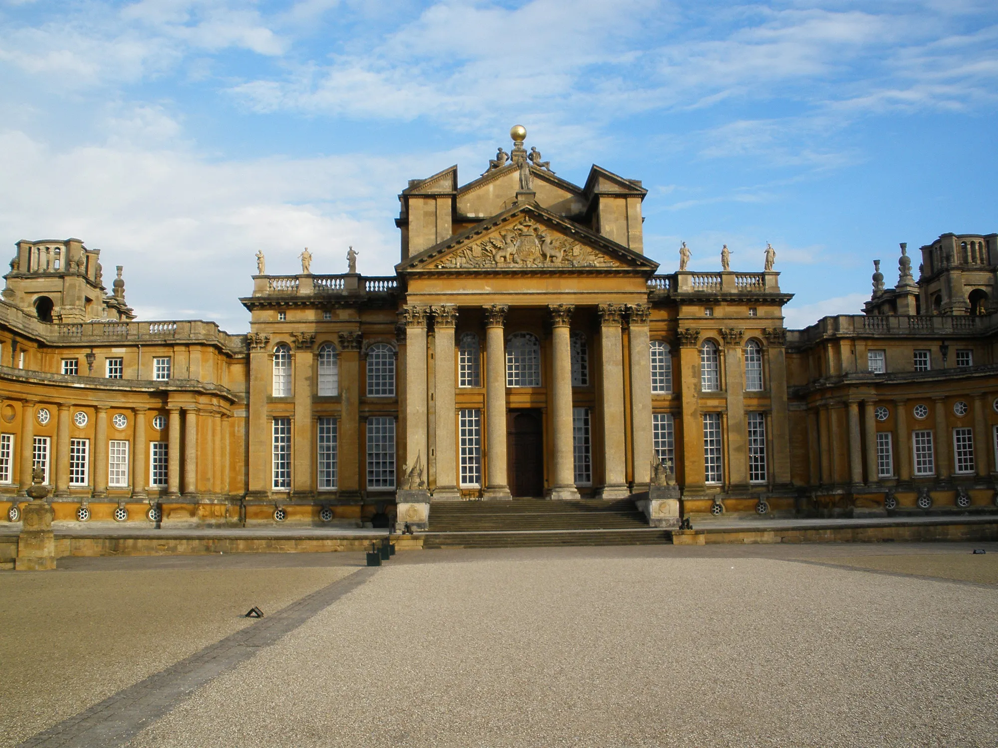
The baroque country house where Winston Churchill was born.
Photo: Public domain, via Wikimedia Commons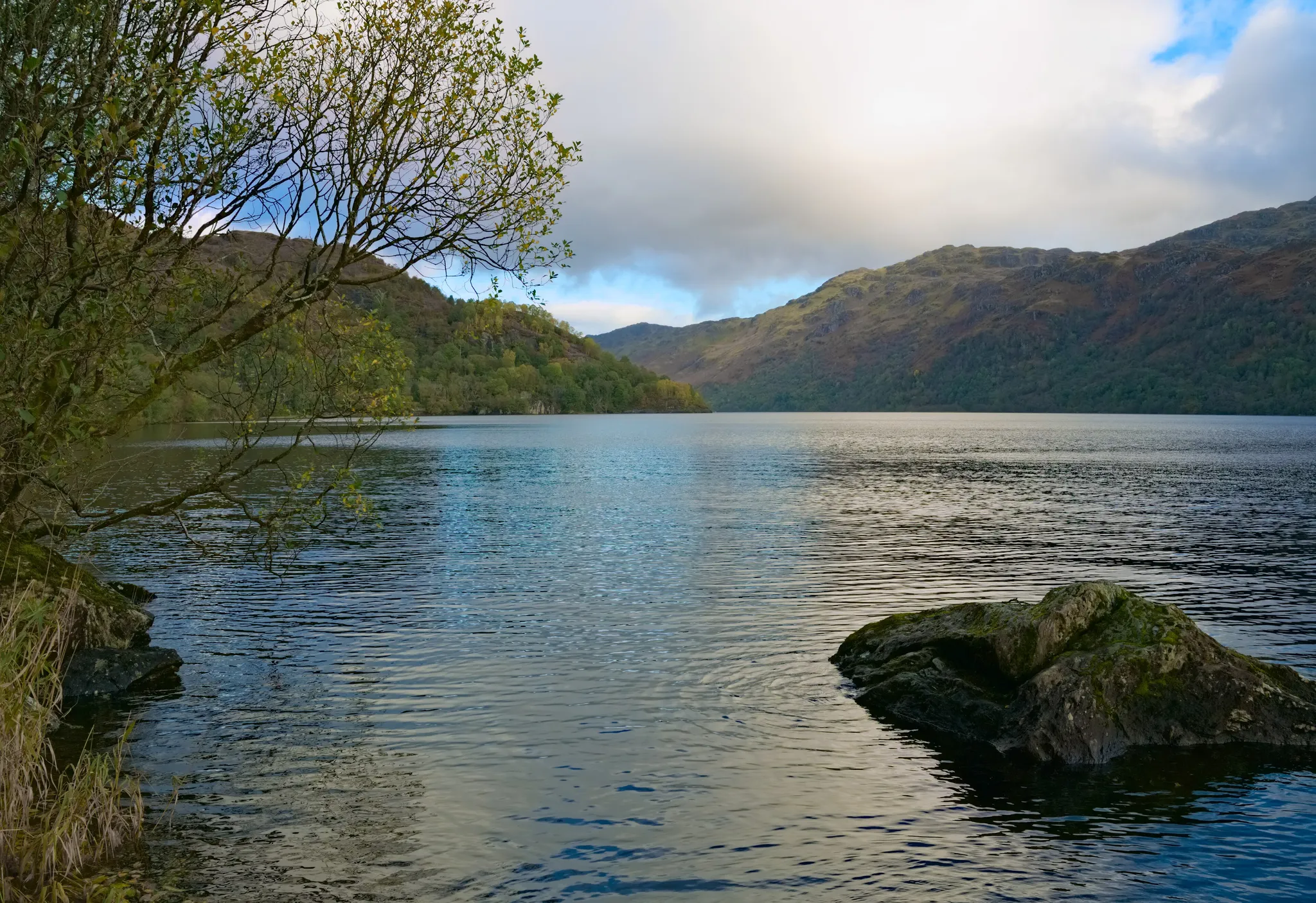
Britain's largest lake by area, where the Highlands begin.
Photo: Daniel Kraft / CC BY-SA 3.0, via Wikimedia Commons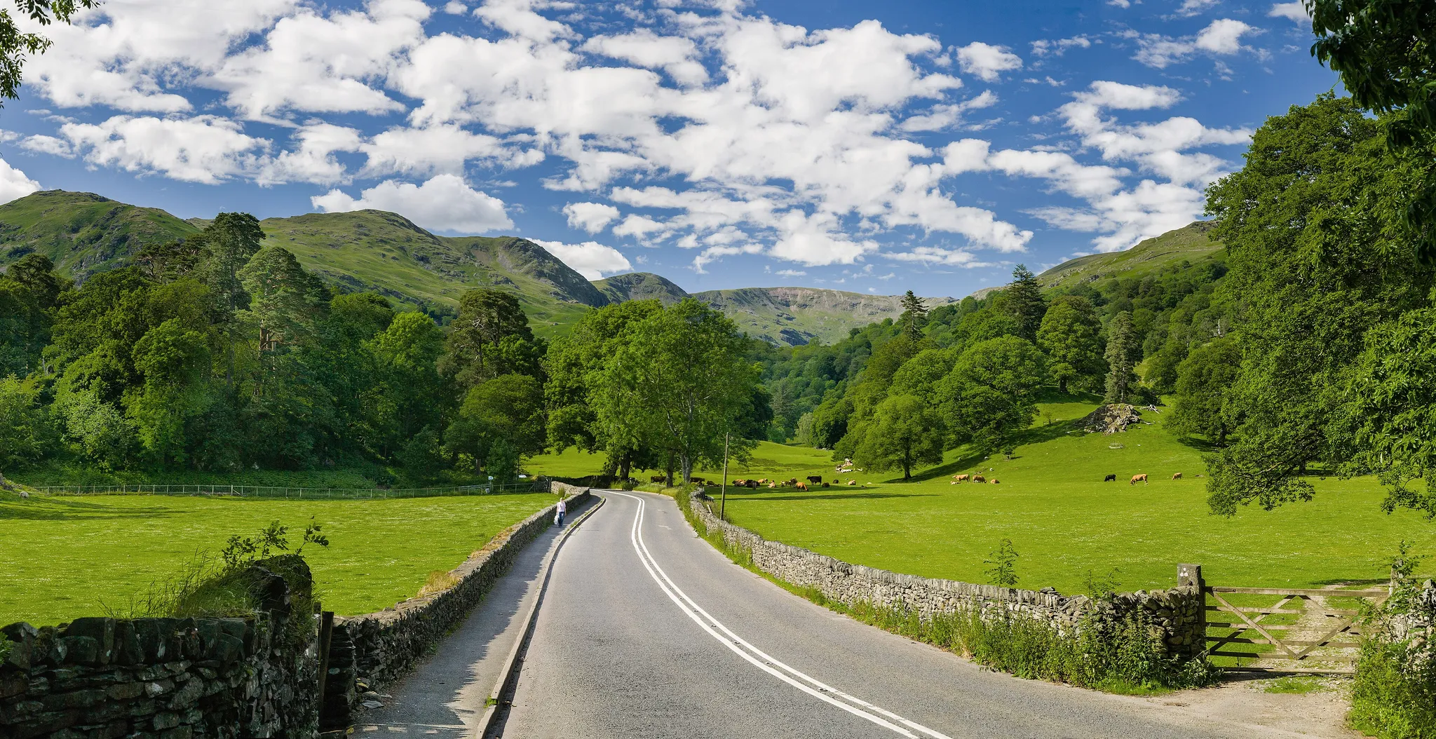
England's mountain region of lakes and fells, home of Wordsworth.
Photo: Diliff / CC BY-SA 3.0, via Wikimedia Commons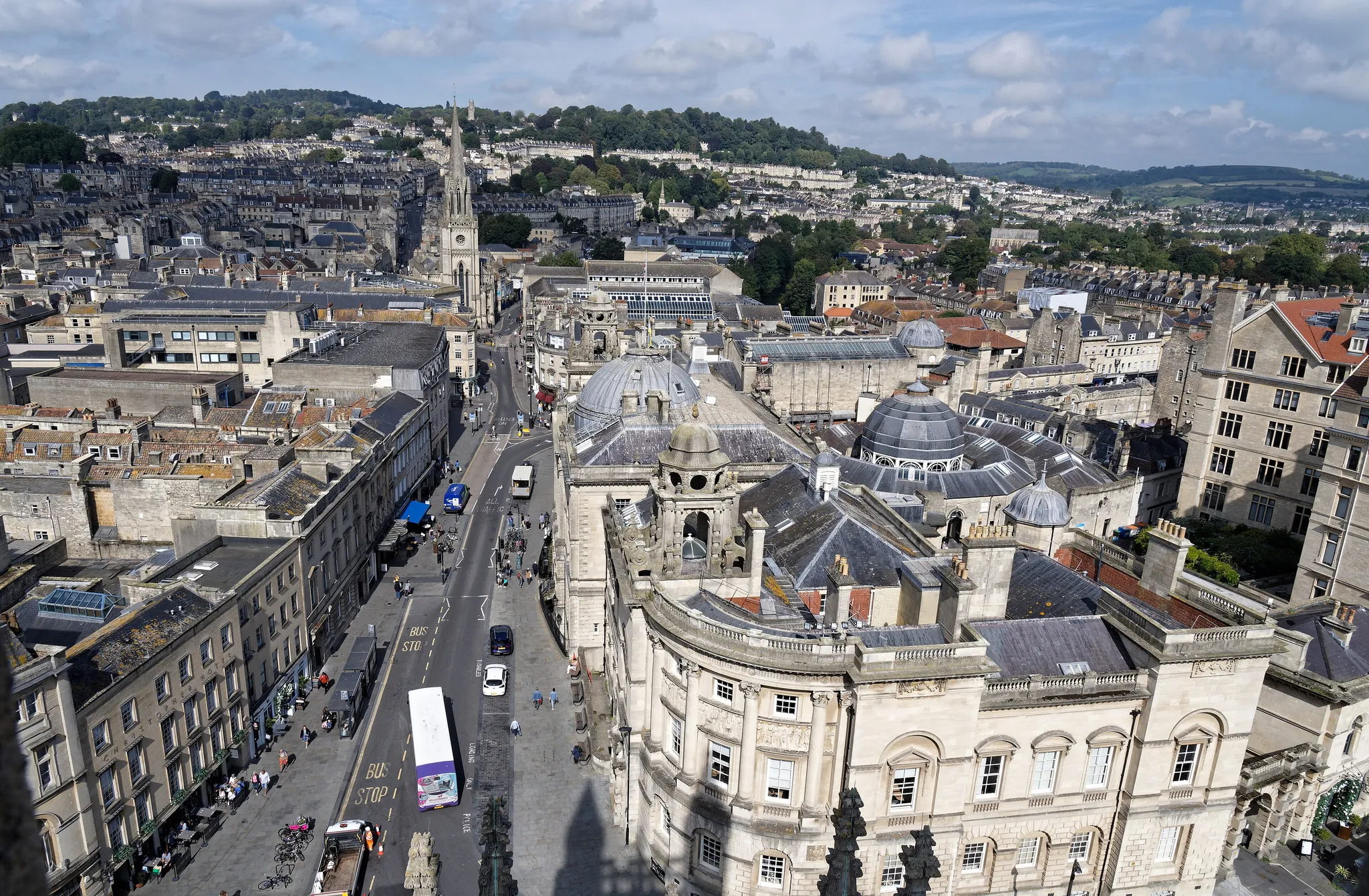
A Georgian spa city built around Roman baths fed by natural hot springs.
Photo: Raboe001 / CC BY-SA 3.0, via Wikimedia Commons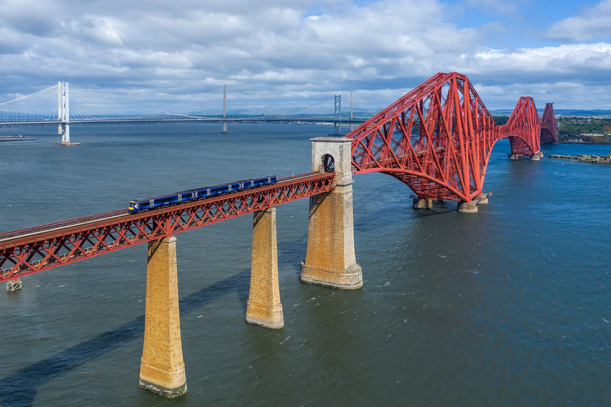
A red cantilever railway bridge from 1890, an icon of Scottish engineering.
Photo: Kabelleger / David Gubler / CC BY-SA 4.0, via Wikimedia Commons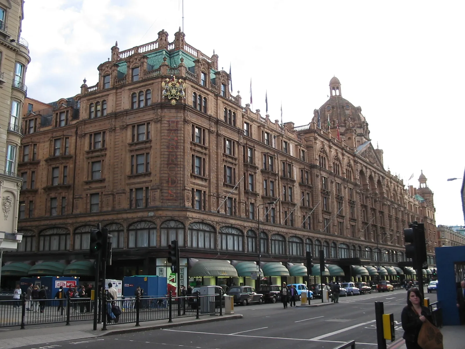
London's grand department store, lit by 12,000 bulbs every night.
Photo: User:Mikegr / CC BY-SA 3.0, via Wikimedia Commons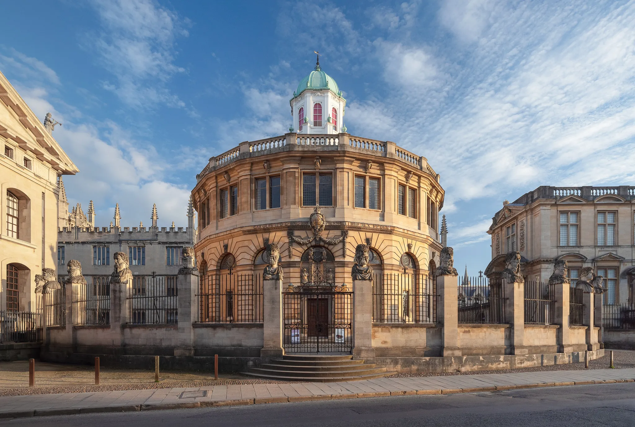
The 'City of Dreaming Spires', home of the oldest university in the English-speaking world.
Photo: Julian Herzog (Website) / CC BY 4.0, via Wikimedia Commons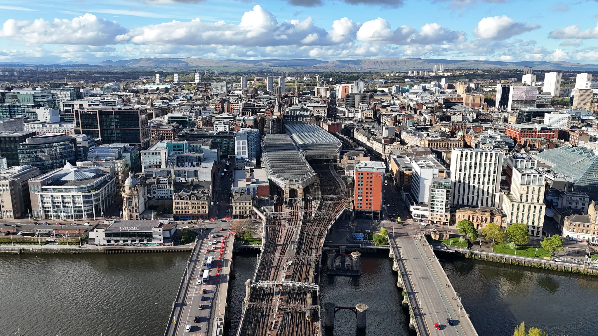
Scotland's largest city, a Victorian powerhouse on the River Clyde.
Photo: 瑞丽江的河水 / CC BY-SA 4.0, via Wikimedia Commons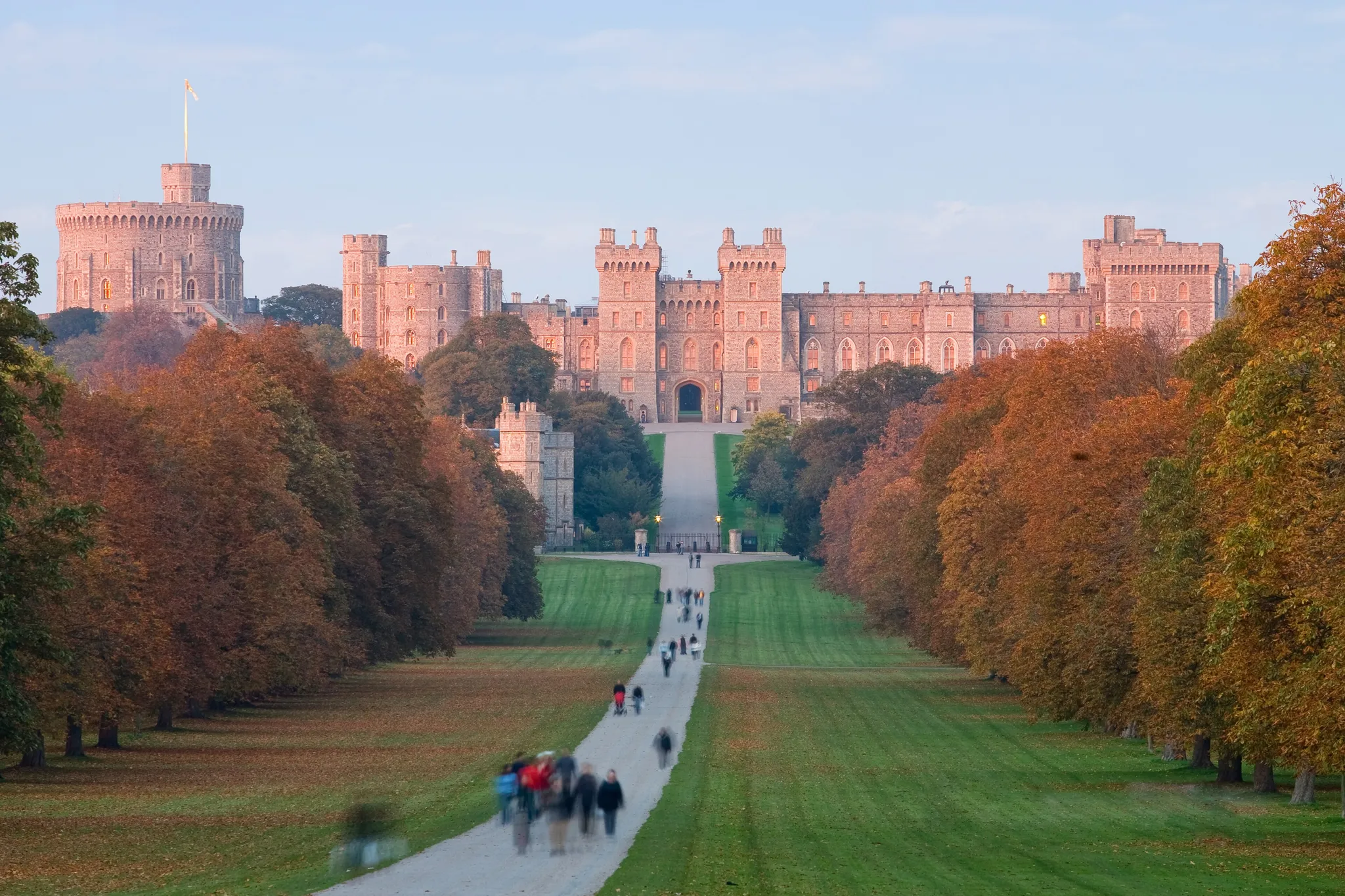
The oldest inhabited castle in the world and a weekend home of the British monarch.
Photo: Diliff / CC BY 2.5, via Wikimedia Commons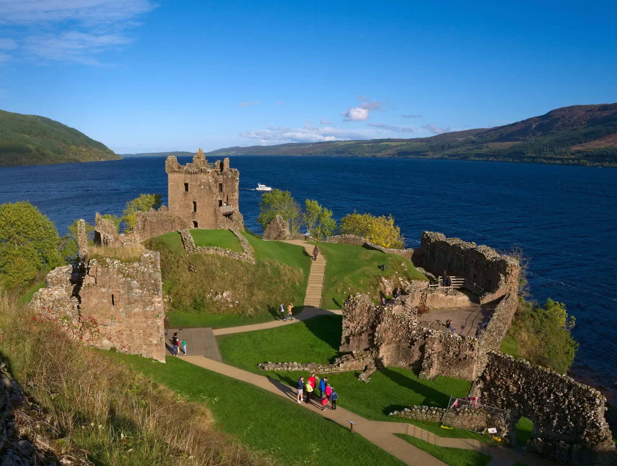
Scotland's deepest loch, home of the legendary monster.
Photo: Daniel Kraft / CC BY-SA 3.0, via Wikimedia Commons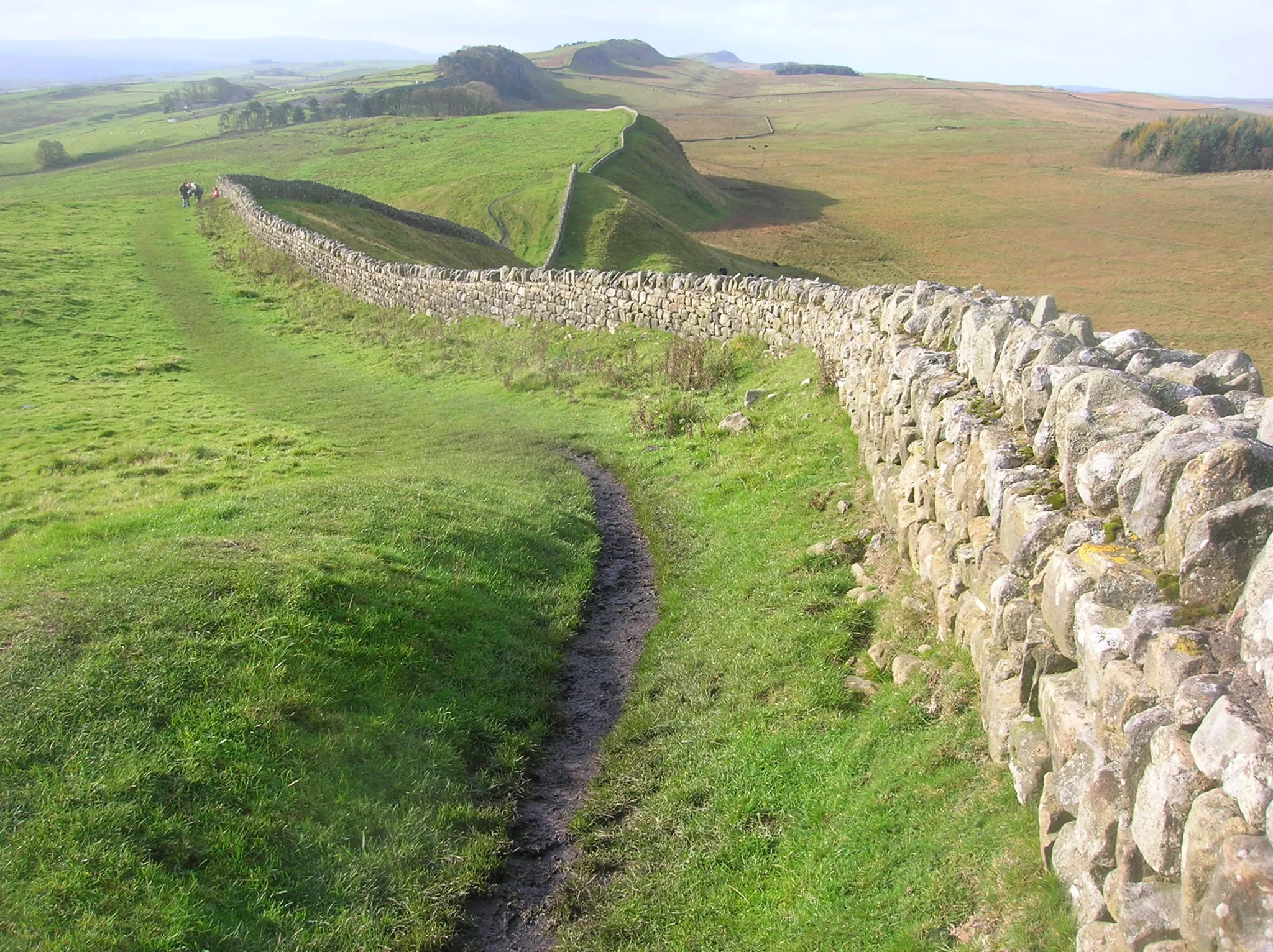
The 117-km Roman frontier wall across northern England, built from AD 122.
Photo: quisnovus from Gloucester, England / CC BY 2.0, via Wikimedia Commons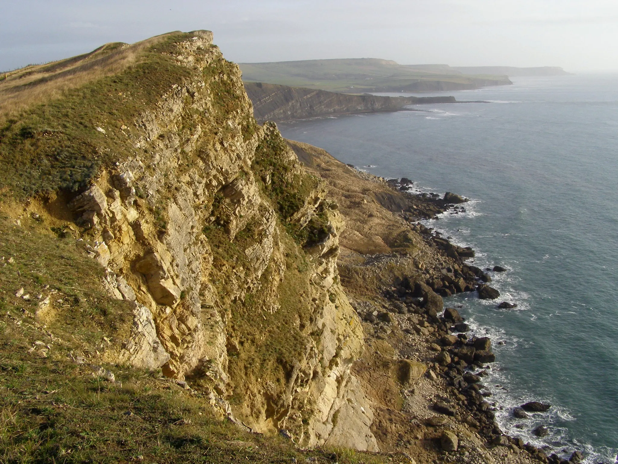
155 km of English cliffs recording 185 million years of Earth's history.
Photo: JimChampion / CC BY-SA 3.0, via Wikimedia Commons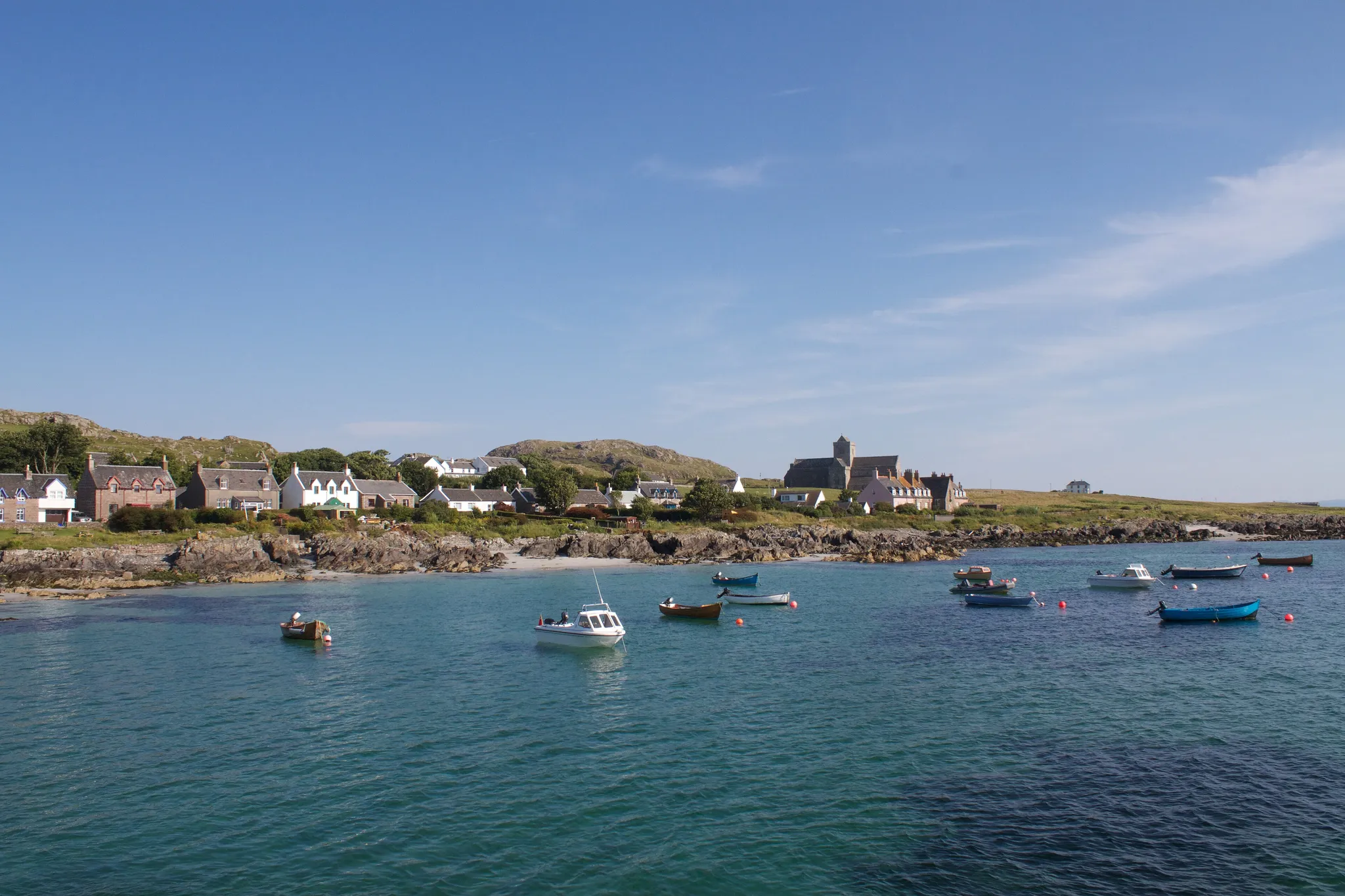
The tiny Hebridean island where St Columba brought Christianity to Scotland in 563.
Photo: Brian Gratwicke from DC, USA / CC BY 2.0, via Wikimedia Commons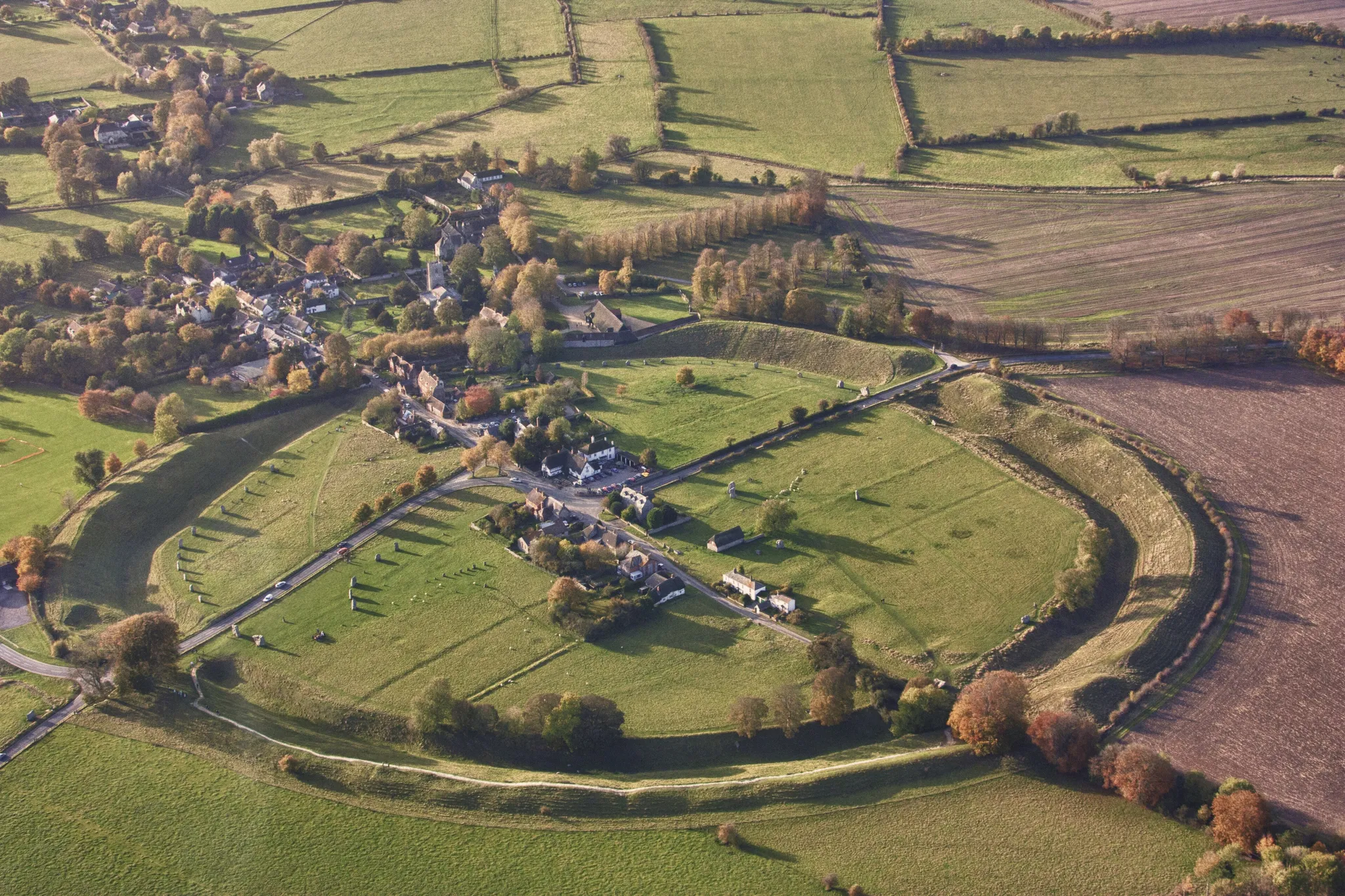
The largest stone circle in the world, with a village built inside it.
Photo: MikPeach / CC BY-SA 4.0, via Wikimedia Commons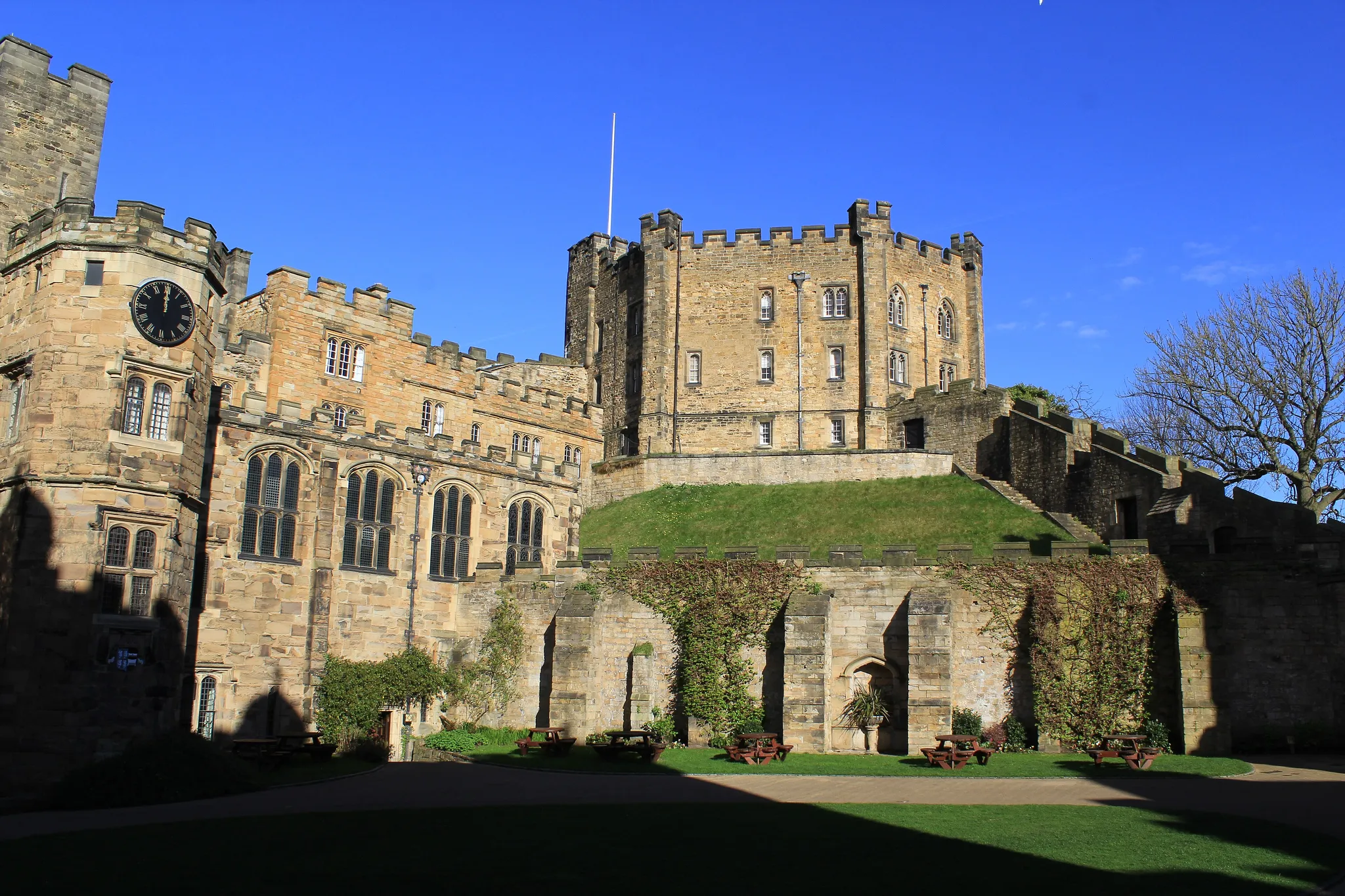
A Norman castle facing the cathedral across Palace Green, now a university college.
Photo: Carla Brain / CC BY-SA 2.0, via Wikimedia Commons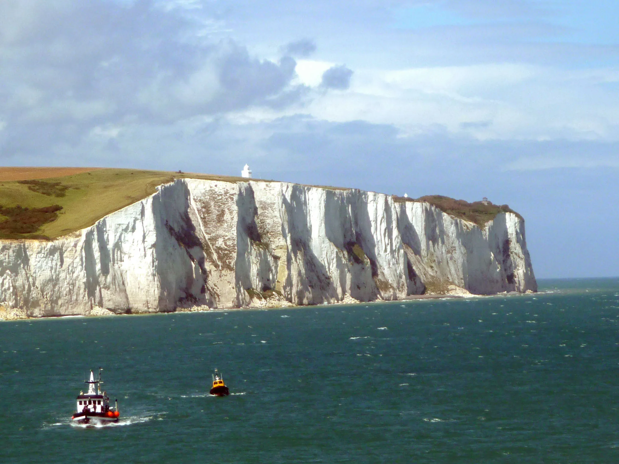
England's chalk cliffs facing France, a symbol of home for generations of travellers.
Photo: Immanuel Giel / CC BY-SA 3.0, via Wikimedia Commons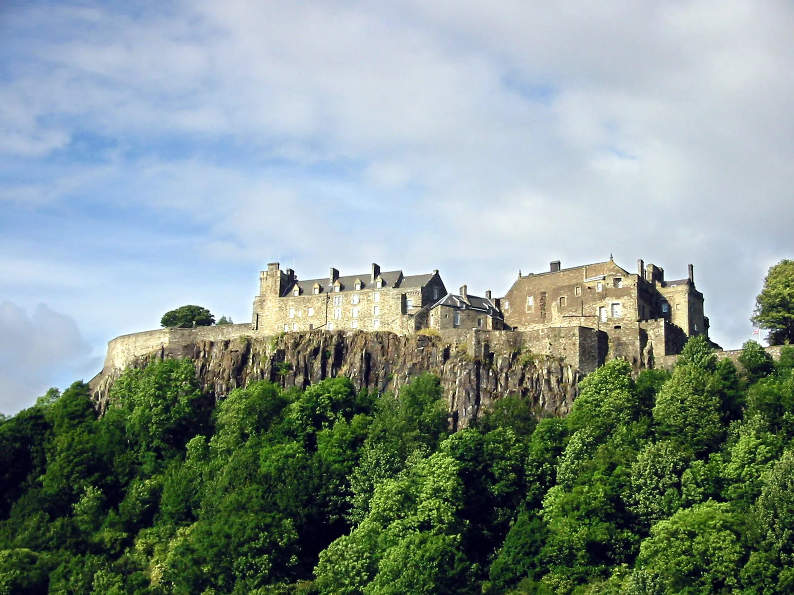
The castle on a volcanic crag where Mary, Queen of Scots was crowned.
Photo: Unknown author / CC BY-SA 3.0, via Wikimedia Commons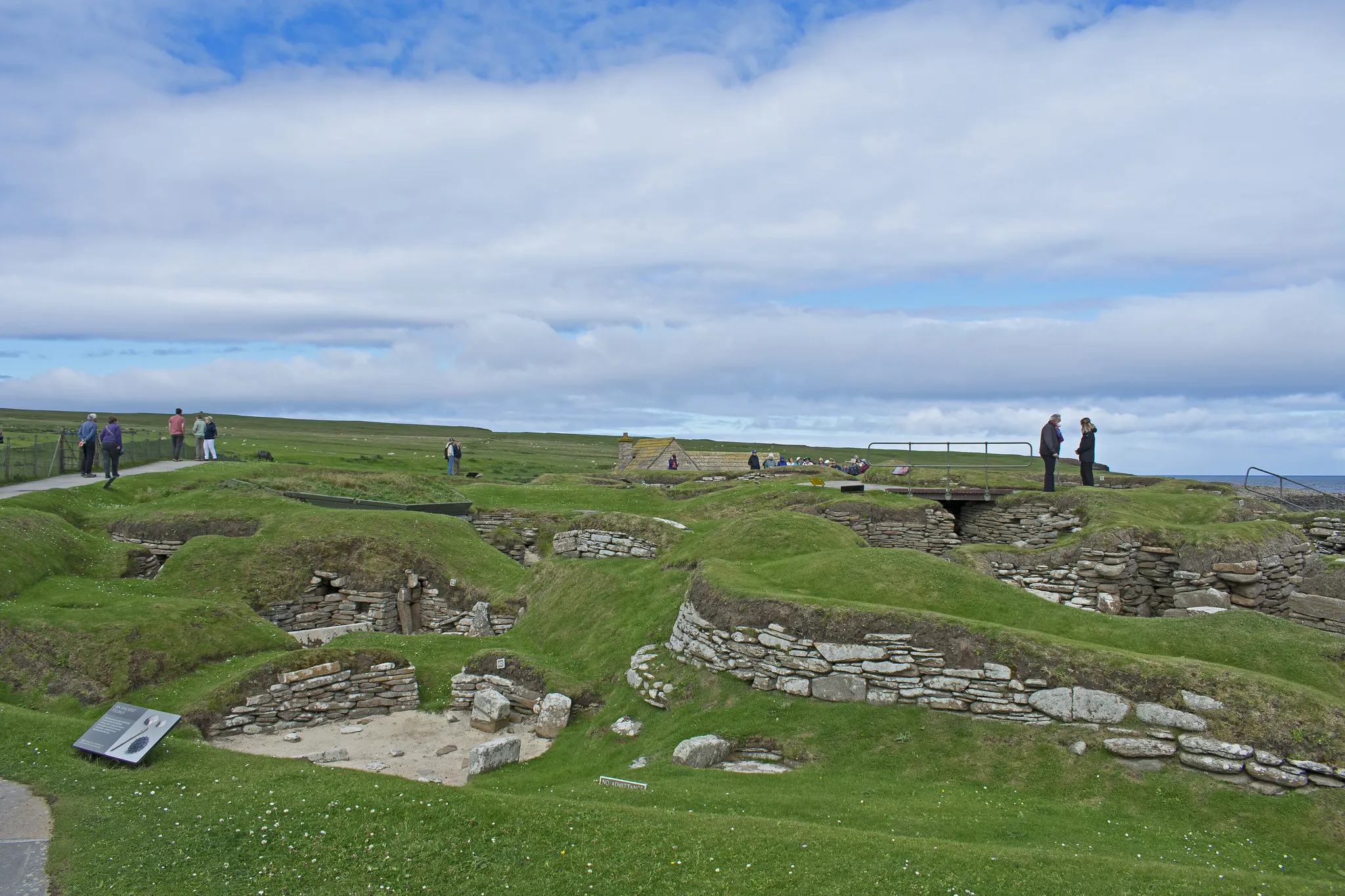
A Neolithic village on Orkney older than Stonehenge, with stone furniture intact.
Photo: Ymblanter / CC BY-SA 4.0, via Wikimedia Commons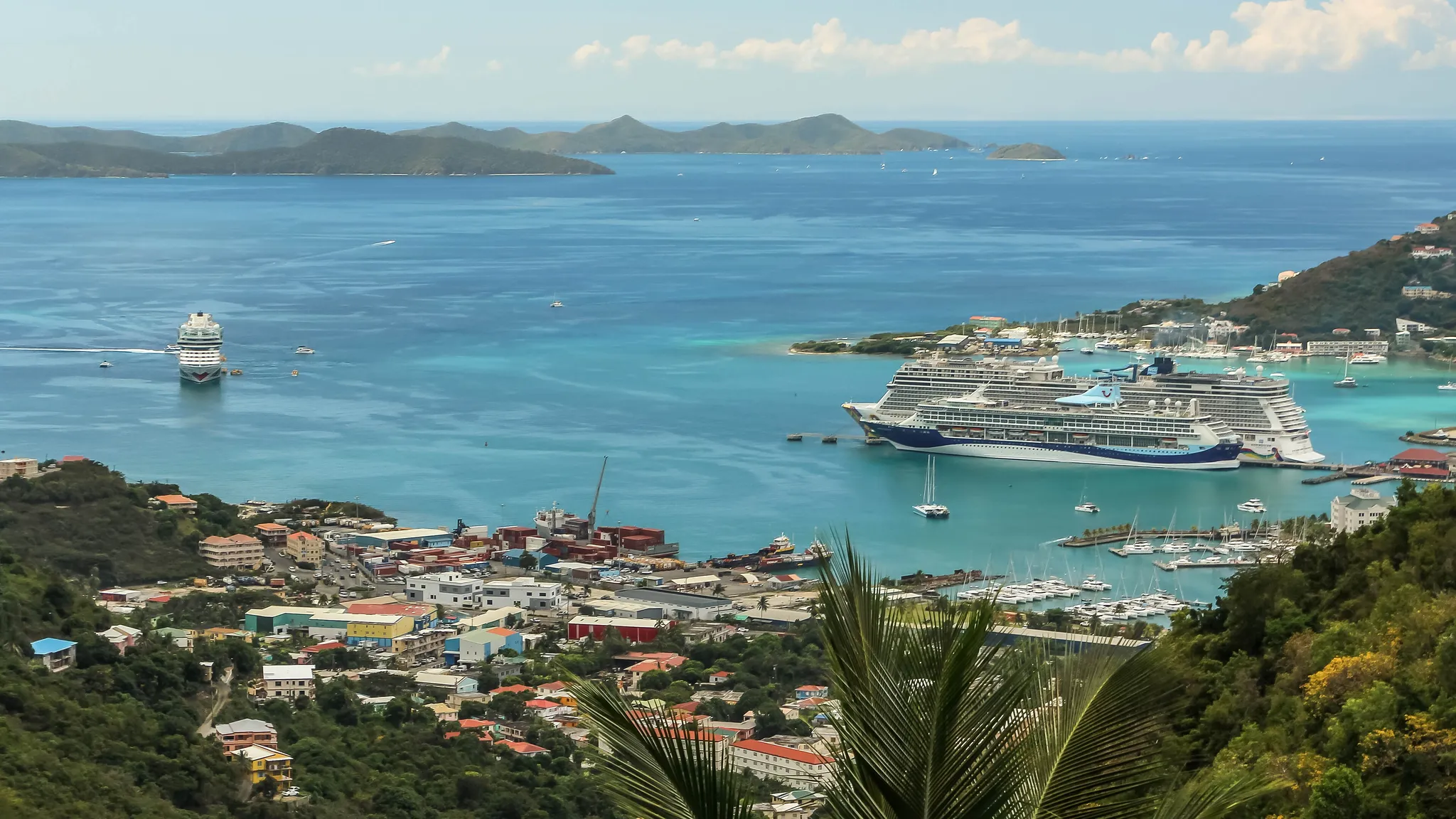
The largest of the British Virgin Islands, a sailing hub of green hills and bays.
Photo: Dr. Thomas Liptak / CC BY-SA 4.0, via Wikimedia CommonsHow to place them
London and its edges are six places: Big Ben, Tower Bridge, Harrods and Kensington Palace in the centre, Hampton Court up the Thames, Windsor Castle 33 km west. Stonehenge, Avebury and Bath are within 45 km of each other in Wiltshire and Somerset; Oxford and Blenheim are 12 km apart north-west of London; the Jurassic Coast is the Dorset shore south of Stonehenge; the White Cliffs are the south-east corner, facing France.
Scotland is the top third. Edinburgh Castle, the Forth Bridge and Stirling are within 50 km, with Glasgow and Loch Lomond just west of them. Loch Ness and Skye are the Highlands. Iona and Staffa's Fingal's Cave are the Inner Hebrides on the west coast, and Fingal's Cave is the expert round. Skara Brae on Orkney is the northernmost place in the set, 200 km beyond Loch Ness.
The rest: Hadrian's Wall runs across the neck of England, the Lake District is just south-west of it and Durham just south-east. Belfast and the Giant's Causeway are Northern Ireland, 80 km apart. Tortola is the one you will not find on this map. It is in the British Virgin Islands, in the Caribbean, and it sits out the map round.
United Kingdom is one country. The daily draws from all 167.
Play the daily in the appQuestions & answers
How many United Kingdom photos does the game have?
29. They run from Skara Brae down to Tortola, counting one outside the mainland map, and a round takes five at random.
What is the hardest United Kingdom round?
Fingal's Cave, Staffa, Scotland is alone at expert; expert photos lose half their points for every 277 km outside the radius.
Where is full marks easiest in United Kingdom?
Lake District: 150 km of leeway, the most generous circle on this page.