Photo location game · Asia
Vietnam landmarks quiz: guess where 10 photos were taken
A round of five from Vietnam, then all 10 places with their photos, facts and dots on the map.
★ 4.7 on Google Play· 60 ratings· 500+ downloads· Free
The round is five photos long. Look, tap the map, read the distance, move on.
Tap the map where you think this is
Where they are
10 on the mapAll 10 places
by id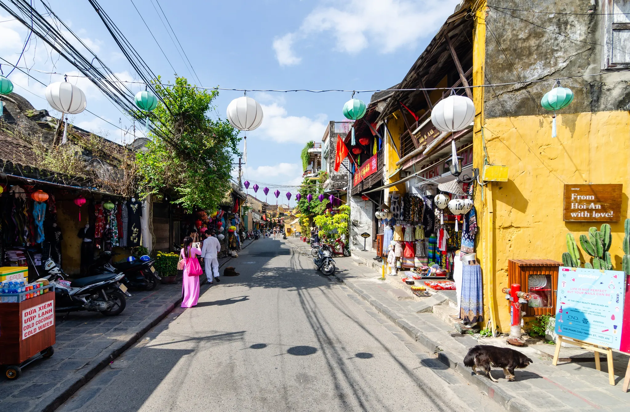
A riverside trading town glowing with silk lanterns at dusk.
Photo: Steffen Schmitz (more photos) / CC BY-SA 4.0, via Wikimedia Commons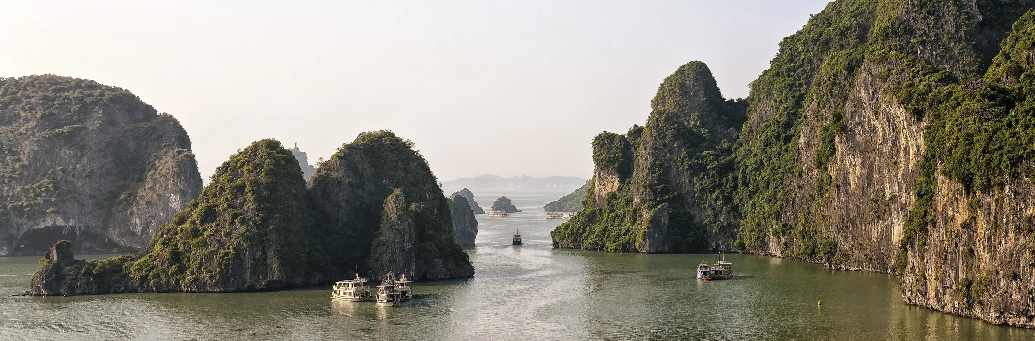
Thousands of limestone karst islands rising from jade water.
Photo: Pasztilla aka Attila Terbócs / CC BY-SA 4.0, via Wikimedia Commons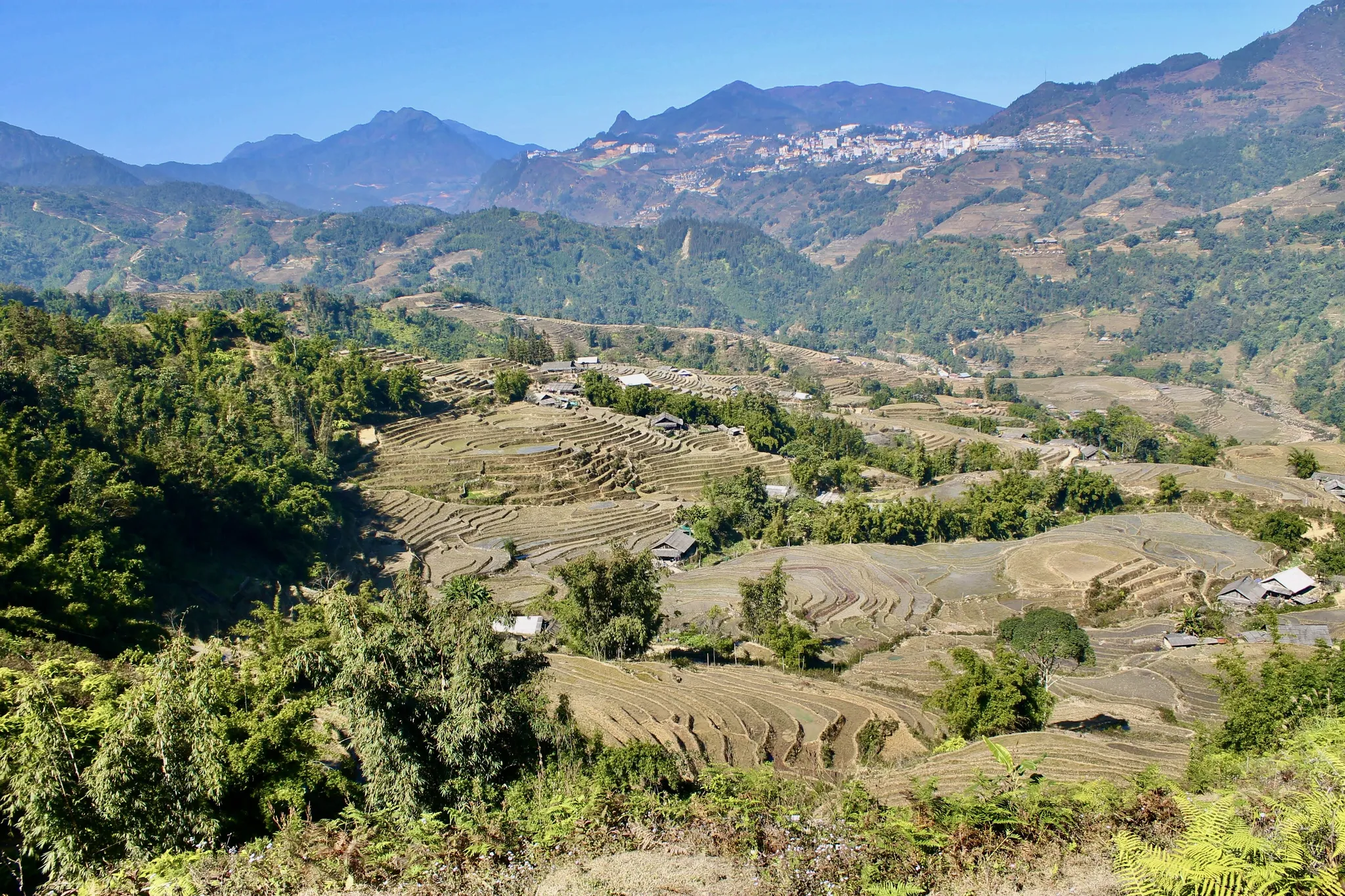
Stepped green rice paddies climbing misty highland slopes.
Photo: Eerin25 / CC0, via Wikimedia Commons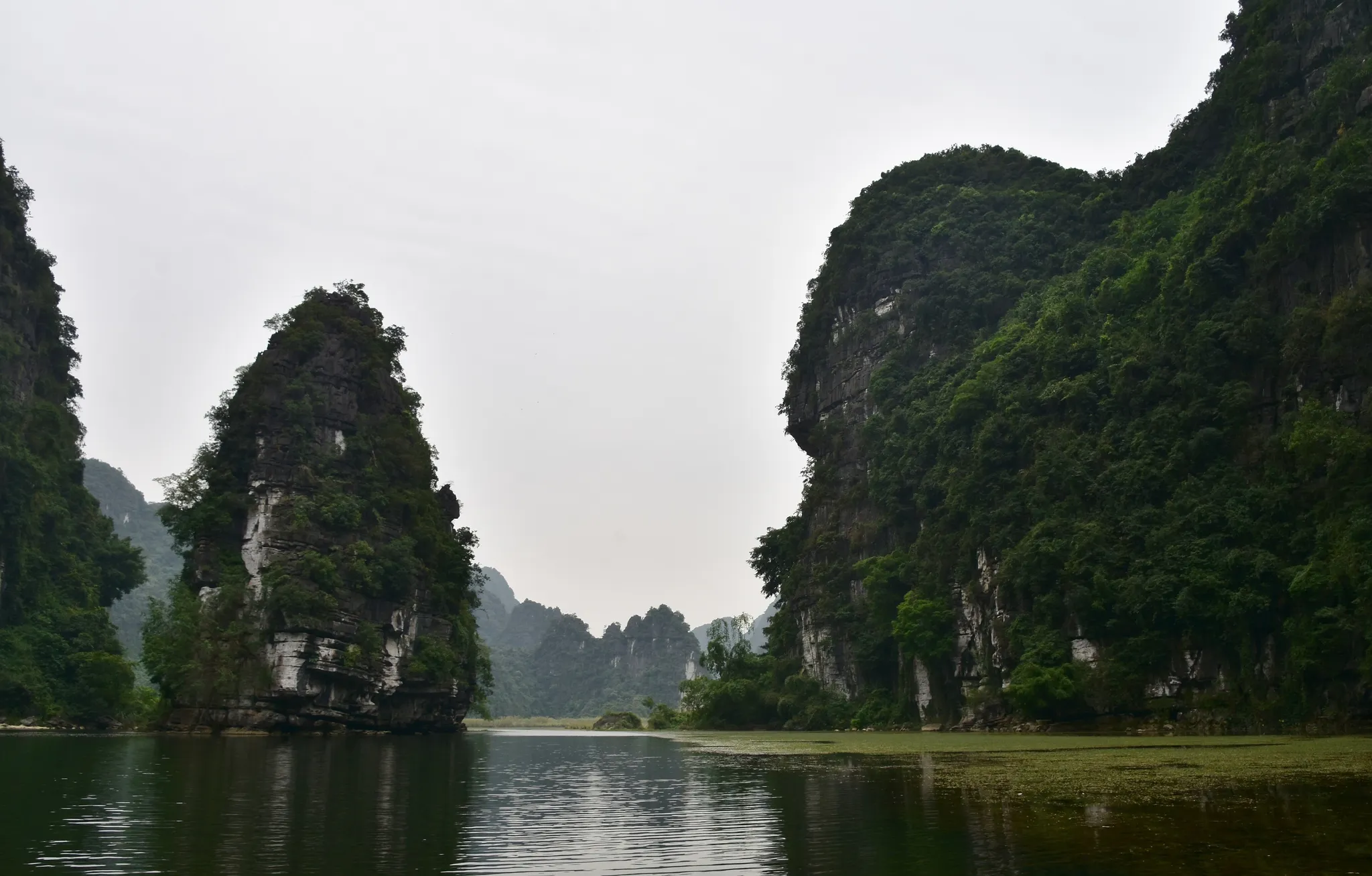
Limestone karst towers and river caves, the 'Halong Bay on land'.
Photo: Richard Mortel from Riyadh, Saudi Arabia / CC BY 2.0, via Wikimedia Commons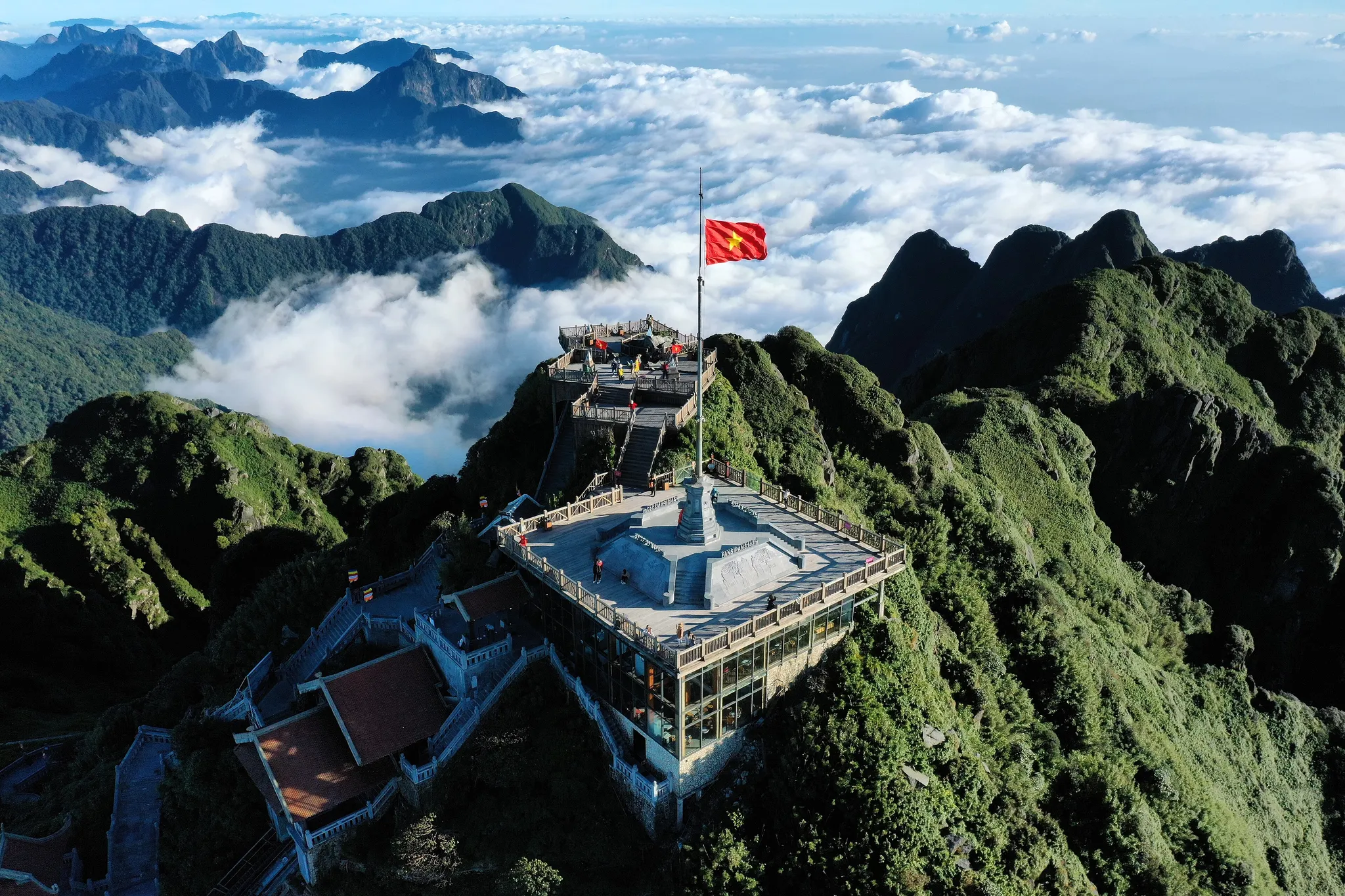
The 'Roof of Indochina', Vietnam's highest peak at 3,147 metres.
Photo: Vivu Vietnam / CC BY-SA 4.0, via Wikimedia Commons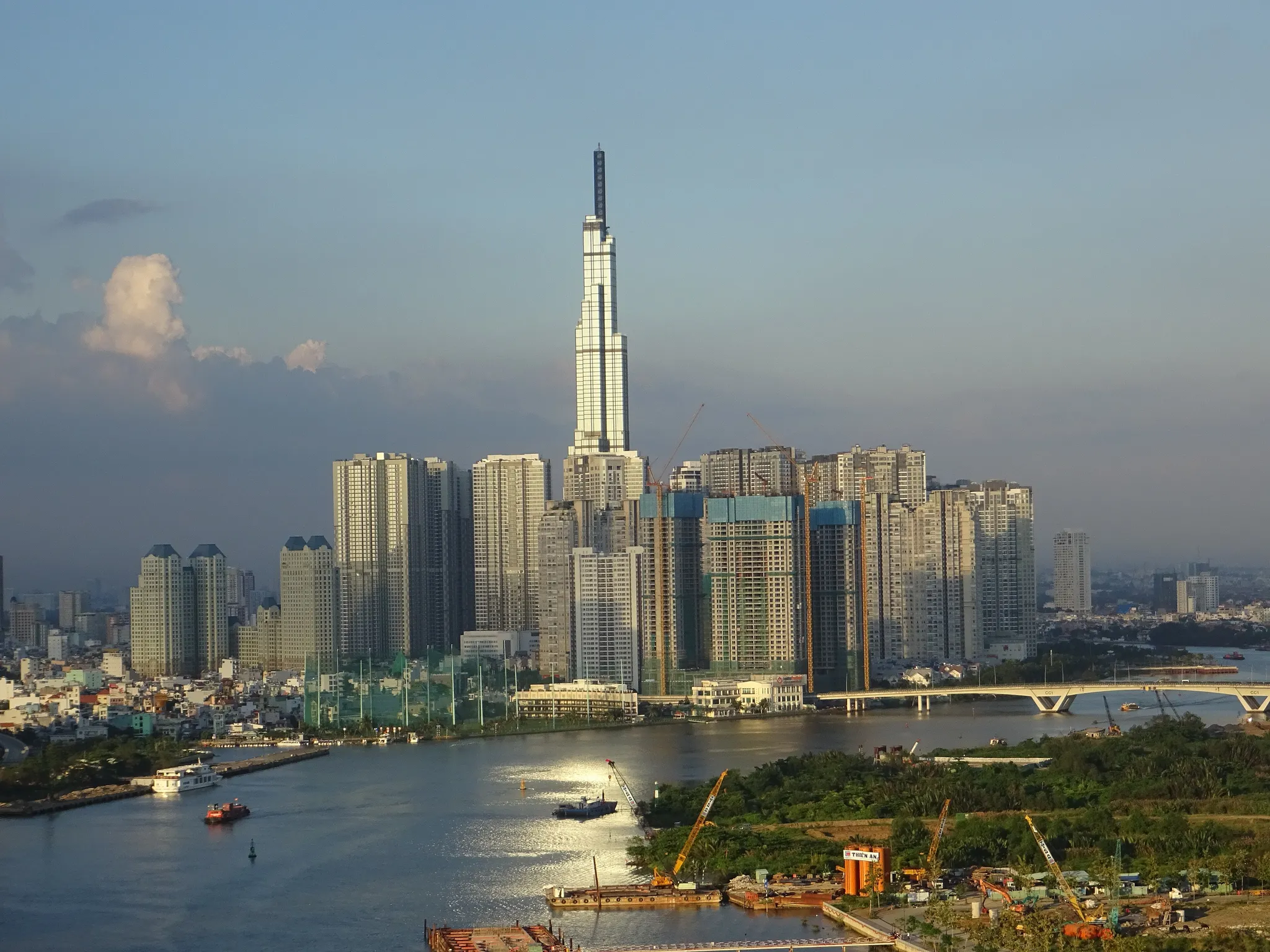
Vietnam's tallest building, a 461-metre bamboo-bundle tower on the Saigon River.
Photo: Christine und Hagen Graf / CC BY 2.0, via Wikimedia Commons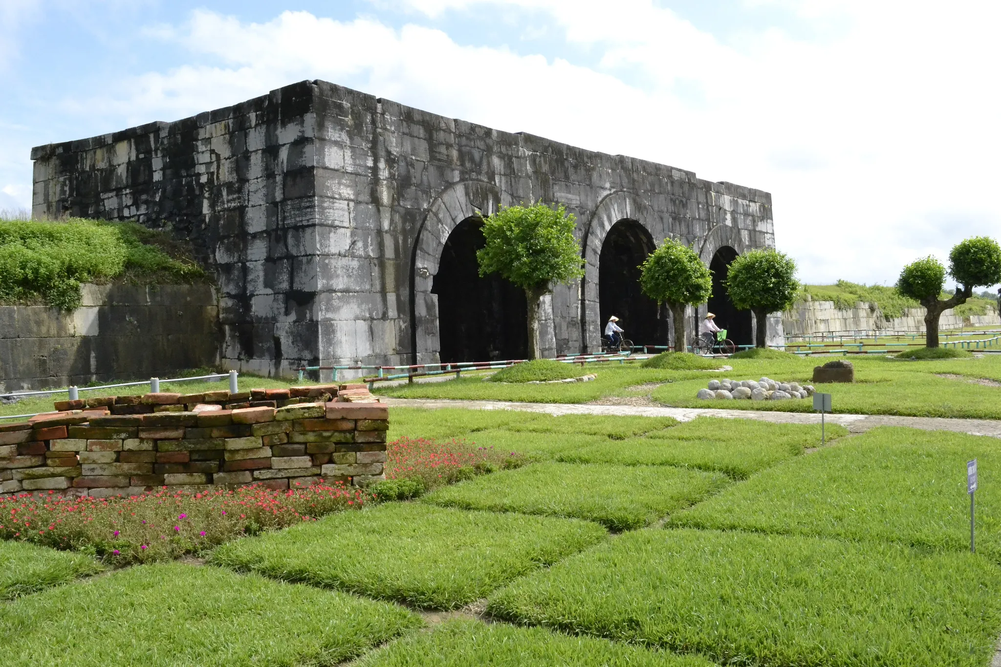
A 14th-century citadel of huge stone blocks, the only one of its kind in Southeast Asia.
Photo: Loi Nguyen Duc / CC BY 2.0, via Wikimedia Commons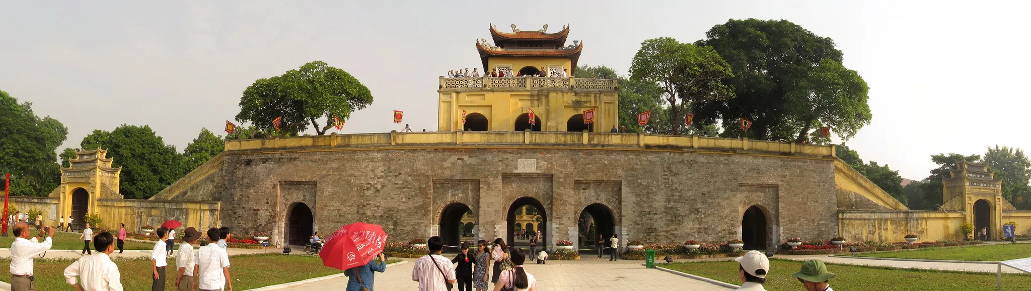
The imperial heart of Hanoi for 13 centuries, with its flag tower and gates.
Photo: Grenouille vert / CC BY-SA 3.0, via Wikimedia Commons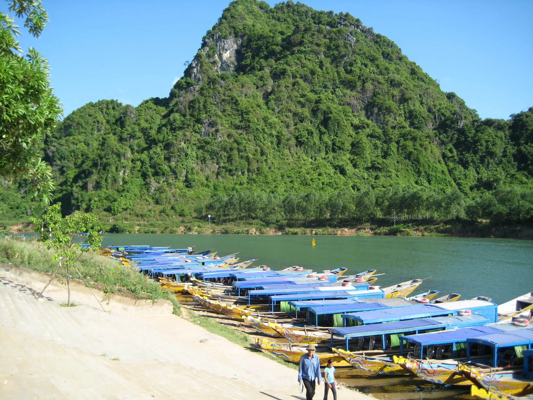
A karst park hiding Son Doong, the largest cave passage on Earth.
Photo: Public domain, via Wikimedia Commons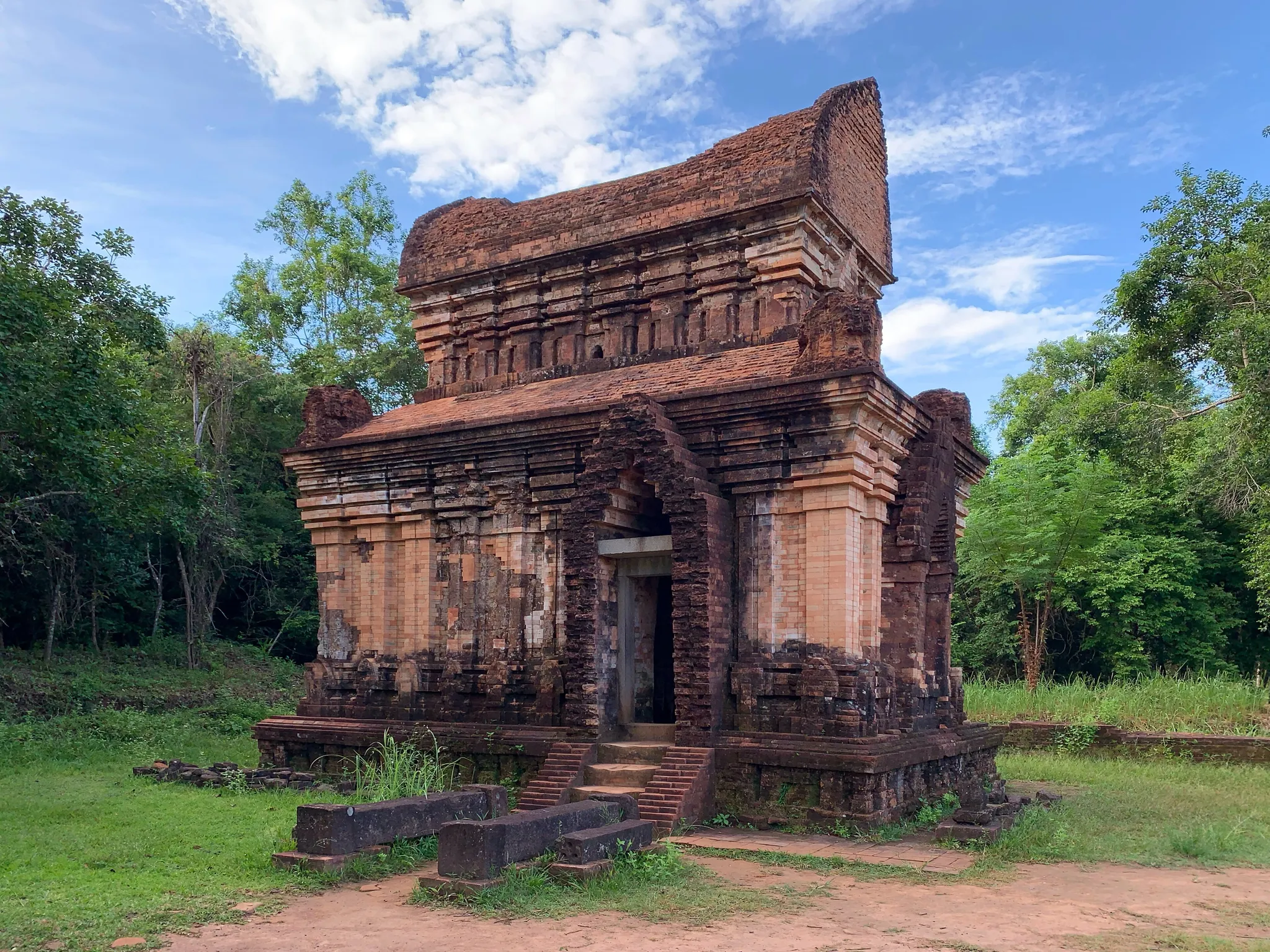
Red-brick Hindu towers of the Champa kingdom in a jungle valley.
Photo: Chainwit. / CC BY 4.0, via Wikimedia CommonsHow to place them
Going south from Sa Pa Rice Terraces, it is 1,300 km before Vietnam's 10 places run out at Landmark 81. Tràng An, Citadel of the Hồ Dynasty and Imperial Citadel of Thang Long can be covered by one 120 km circle near the middle, which makes three rounds easier than they look. Keep Landmark 81 apart in your head; its nearest company, Mỹ Sơn, is 570 km off.
Phong Nha–Ke Bang National Park is gentle. Tràng An is not. The rest are medium. Fansipan is the 'Roof of Indochina', Vietnam's highest peak at 3,147 metres.
Vietnam is one country. The daily draws from all 167.
Play the daily in the appQuestions & answers
How many locations does Vietnam get?
Vietnam has 10 in the pool, Sa Pa Rice Terraces being the northernmost and Landmark 81 the southernmost.
Which Vietnam location is rated hardest?
Only Tràng An is rated hard. A 451 km miss on it, past the radius, cuts the score in half.
Which Vietnam photo forgives the widest miss?
Aim for Ha Long Bay. Anything within 50 km of it counts as exact.