Photo location game · Asia
Pakistan landmarks quiz: guess where 13 photos were taken
A round of five from Pakistan, then all 13 places with their photos, facts and dots on the map.
★ 4.7 on Google Play· 60 ratings· 500+ downloads· Free
The round is five photos long. Look, tap the map, read the distance, move on.
Tap the map where you think this is
Where they are
13 on the mapAll 13 places
by id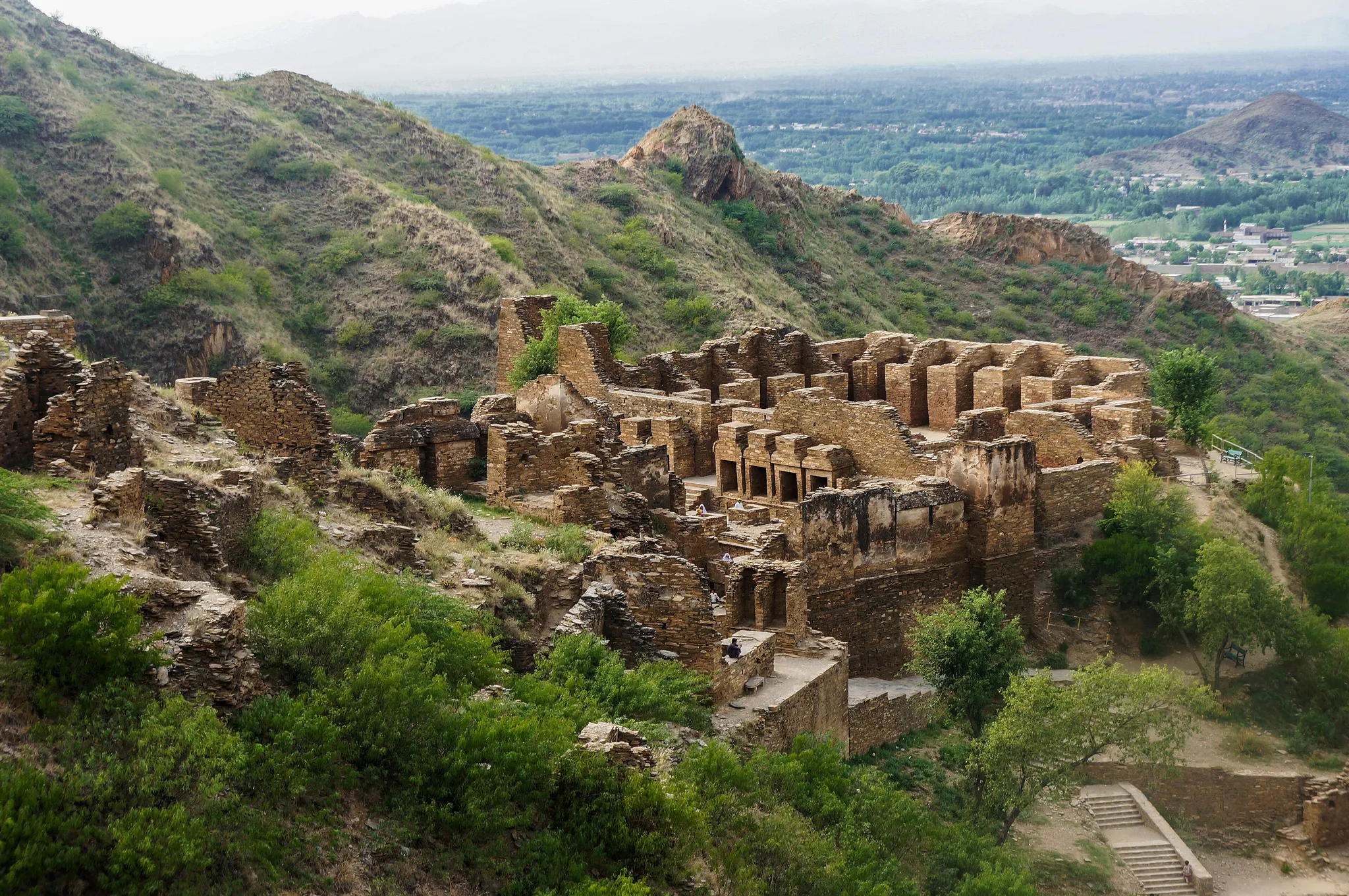
The ruins of a Buddhist monastery on a hilltop, over 2,000 years old.
Photo: Asif Nawaz / CC BY-SA 3.0, via Wikimedia Commons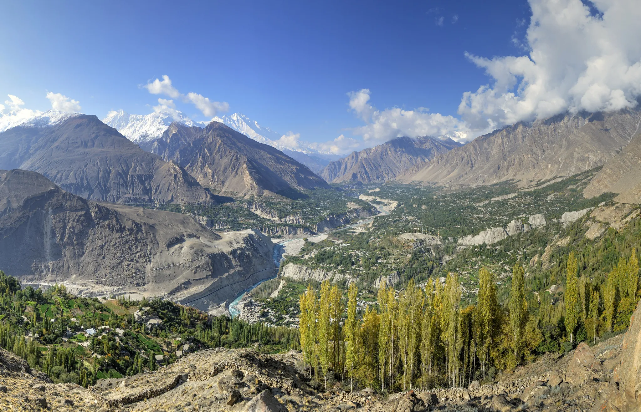
A Karakoram valley of apricot orchards ringed by 7,000-metre peaks.
Photo: Alllexxxis / CC BY-SA 4.0, via Wikimedia Commons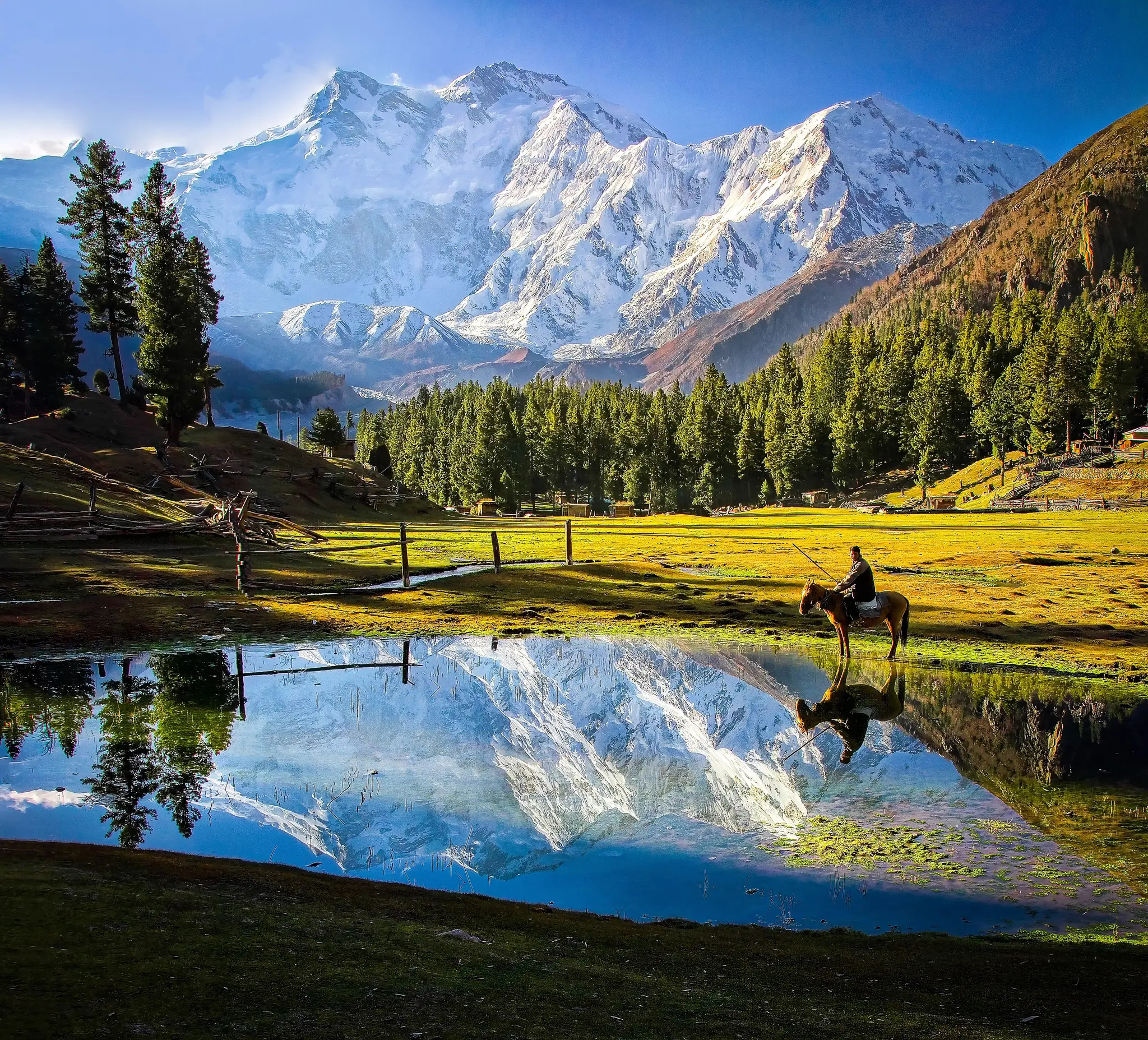
The 'Killer Mountain', ninth highest on Earth, with the largest rock face in the world.
Photo: Tahsin Anwar Ali / CC BY-SA 3.0, via Wikimedia Commons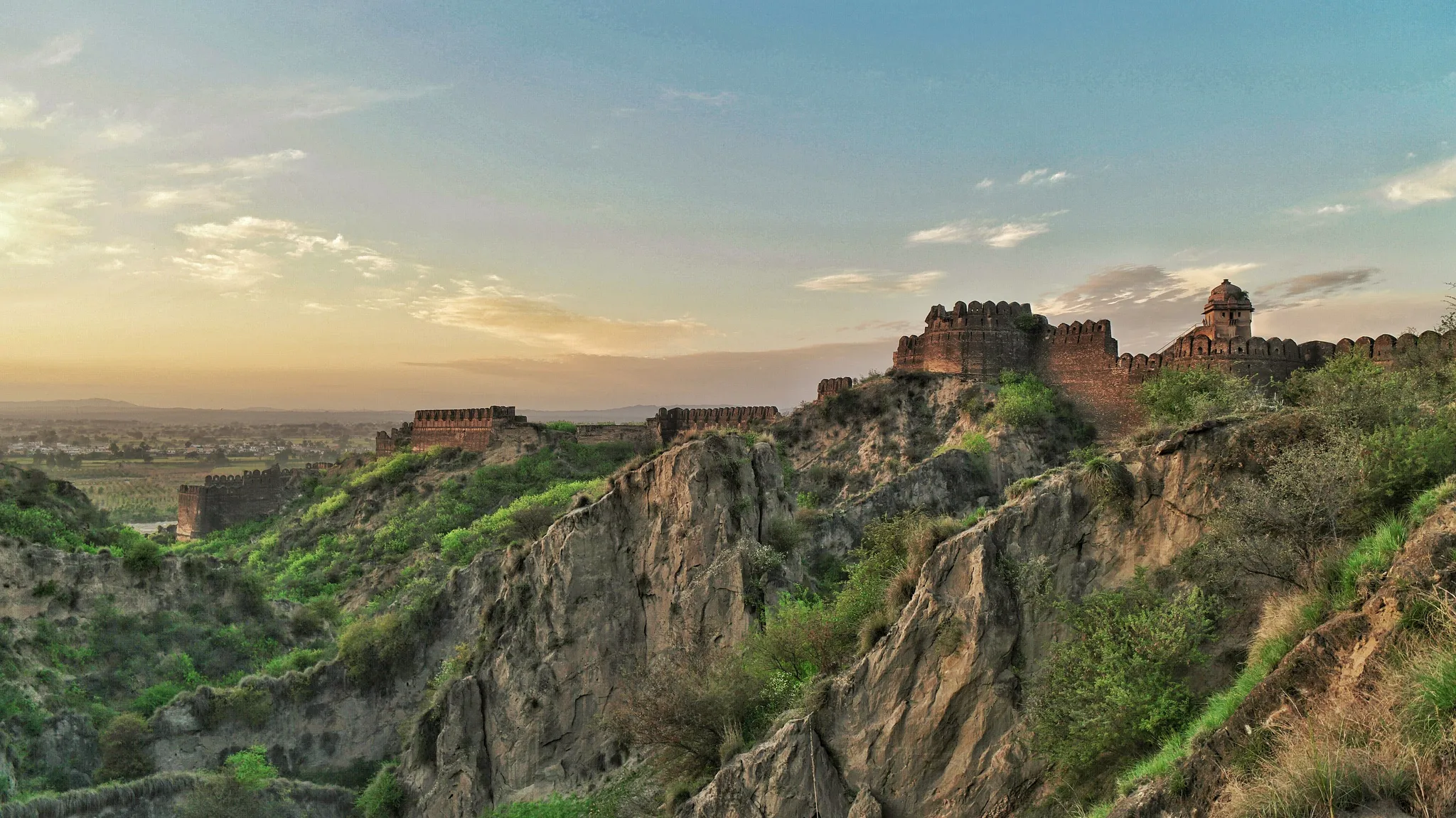
A 16th-century garrison fort with four kilometres of massive stone walls.
Photo: Hussain Khalid / CC BY-SA 4.0, via Wikimedia Commons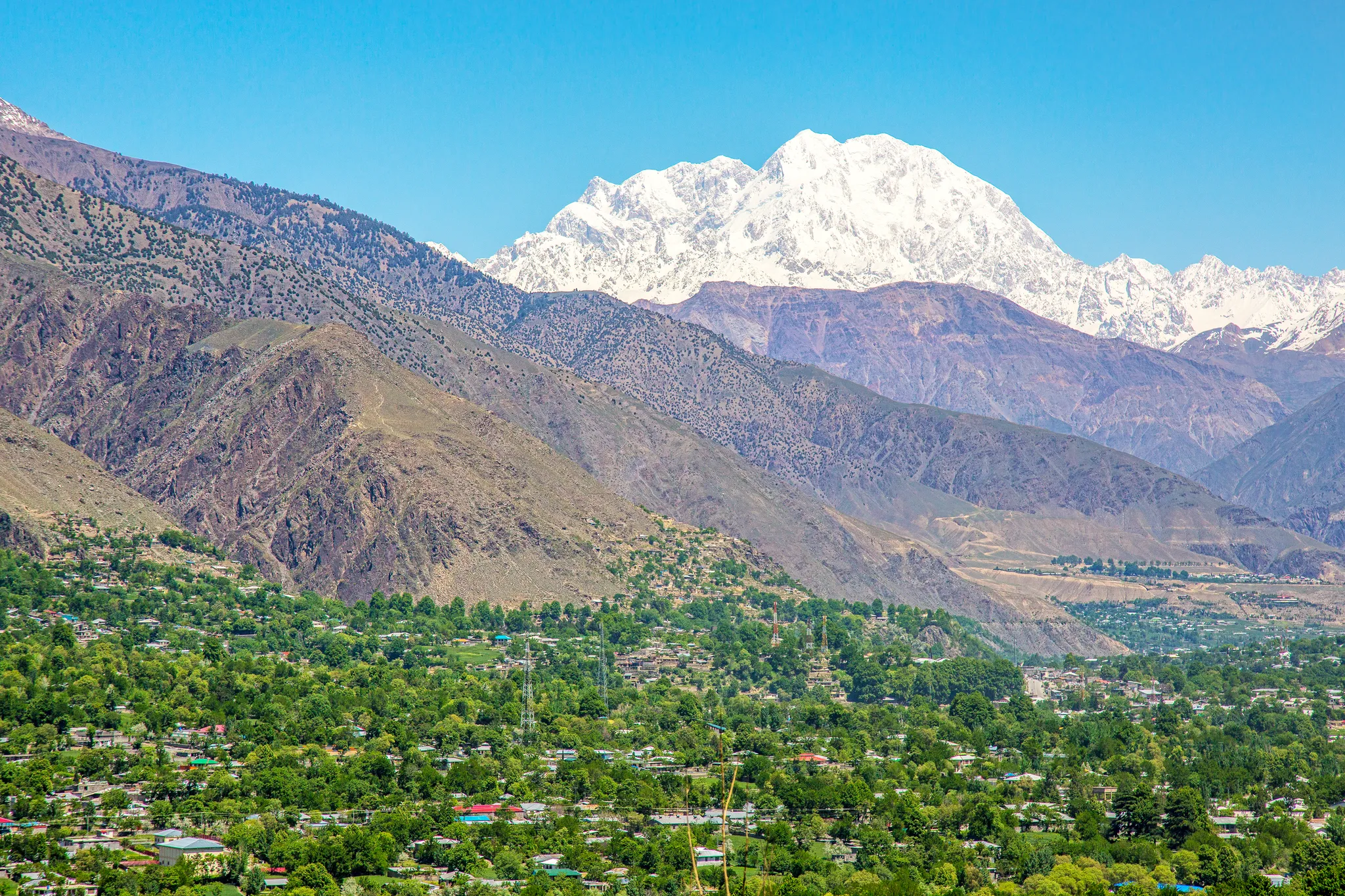
The highest peak of the Hindu Kush, at 7,708 metres.
Photo: Shah Tahsin Anwar / CC BY-SA 4.0, via Wikimedia Commons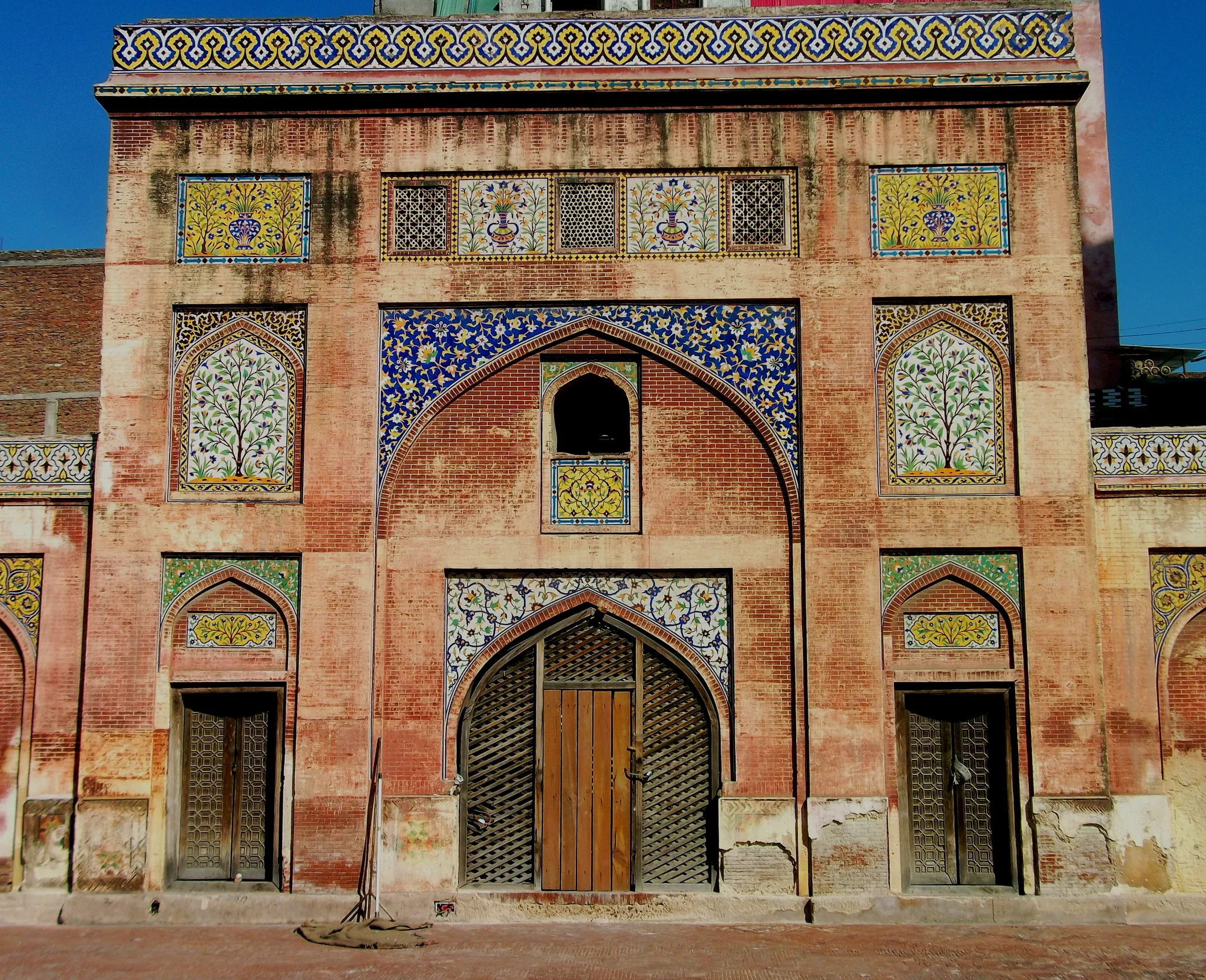
A 17th-century Lahore mosque covered in glazed tile mosaics and frescoes.
Photo: Muhammad Umair Mirza / CC BY-SA 4.0, via Wikimedia Commons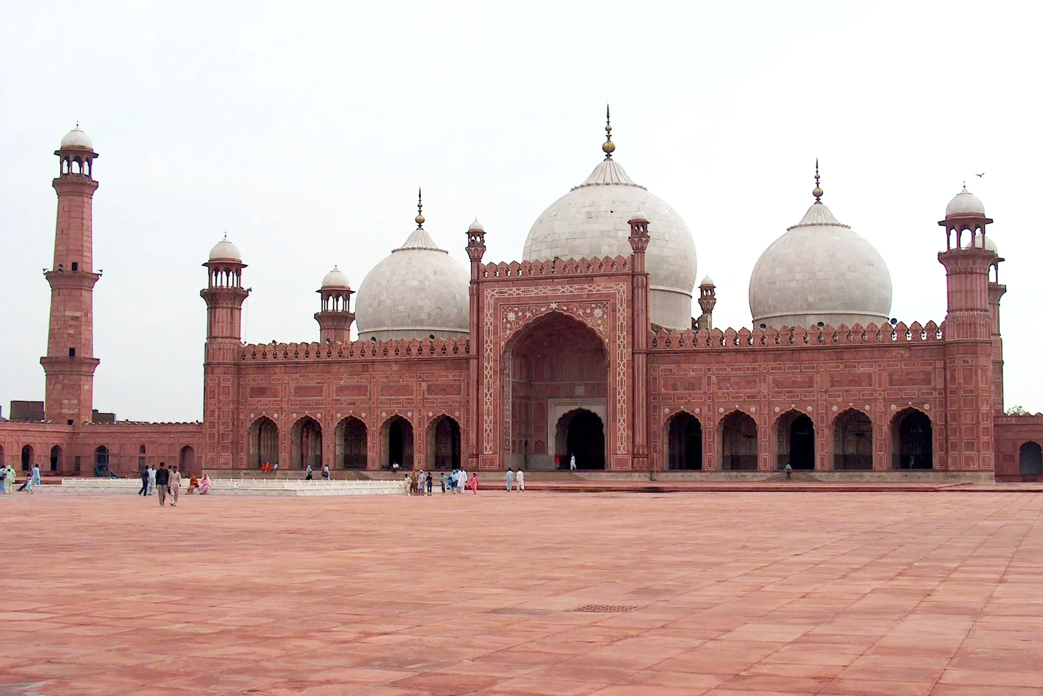
A red-sandstone Mughal mosque from 1673 with one of the largest courtyards on Earth.
Photo: Ali Imran / CC BY-SA 2.5, via Wikimedia Commons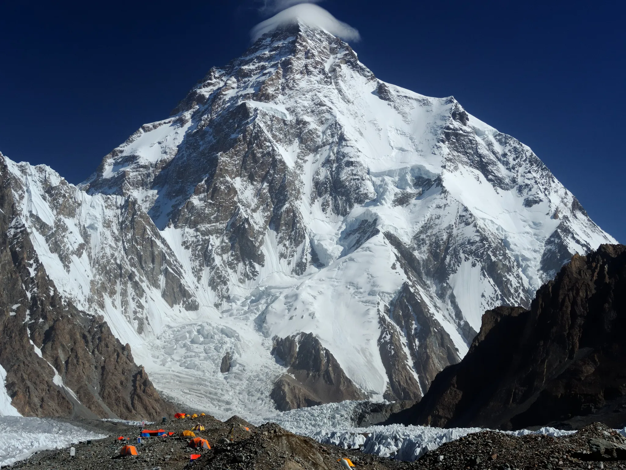
The second highest mountain on Earth and the deadliest of the 8,000-metre peaks.
Photo: Zacharie Grossen / CC BY-SA 4.0, via Wikimedia Commons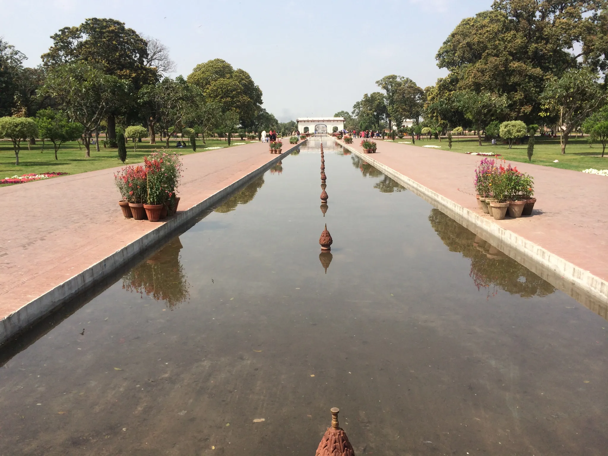
A Mughal garden of terraces and 410 fountains laid out in 1641.
Photo: Armughanmunir / CC BY-SA 3.0, via Wikimedia Commons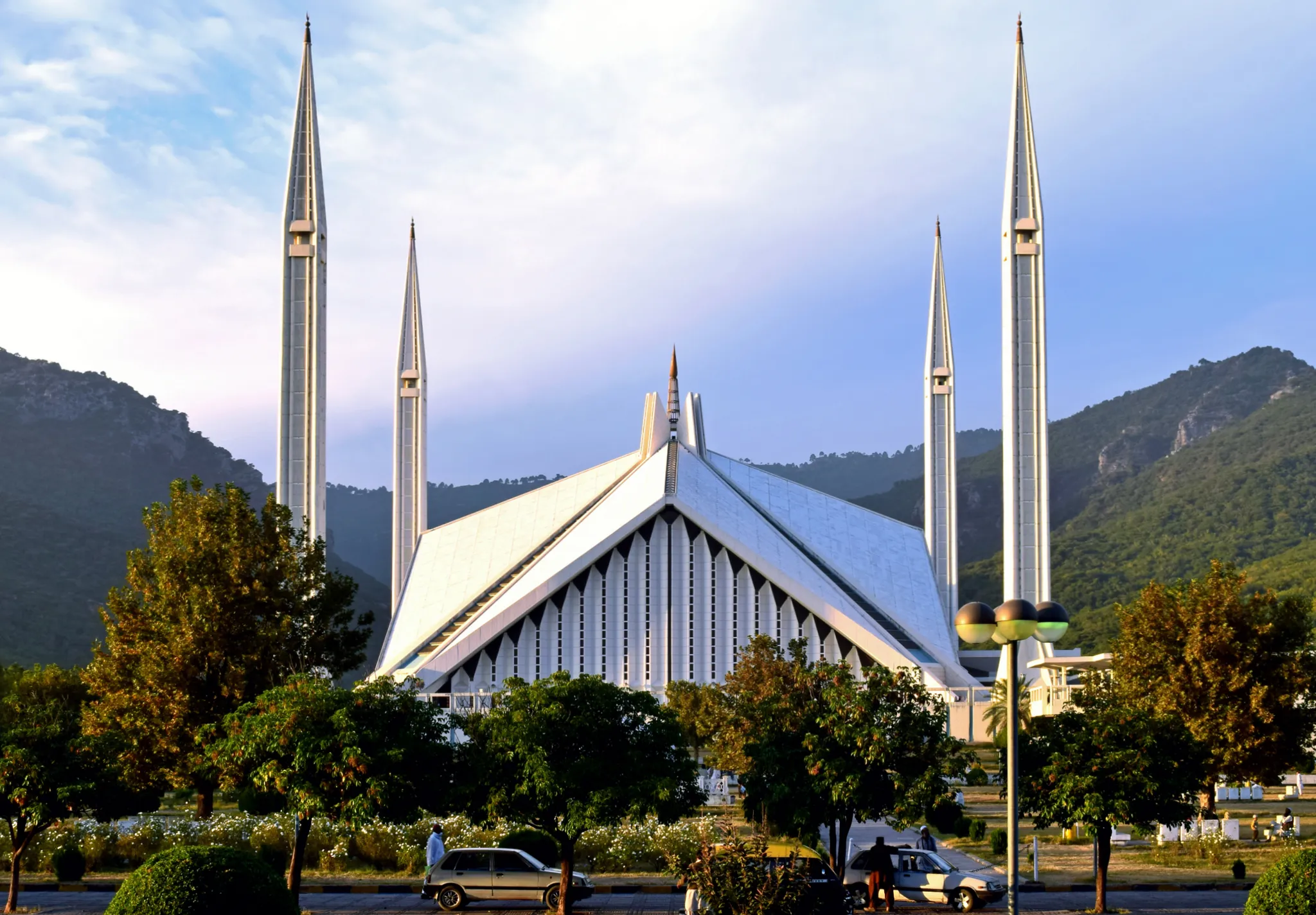
A tent-shaped modern mosque at the foot of the Margalla Hills.
Photo: Ali Mujtaba / CC BY-SA 4.0, via Wikimedia Commons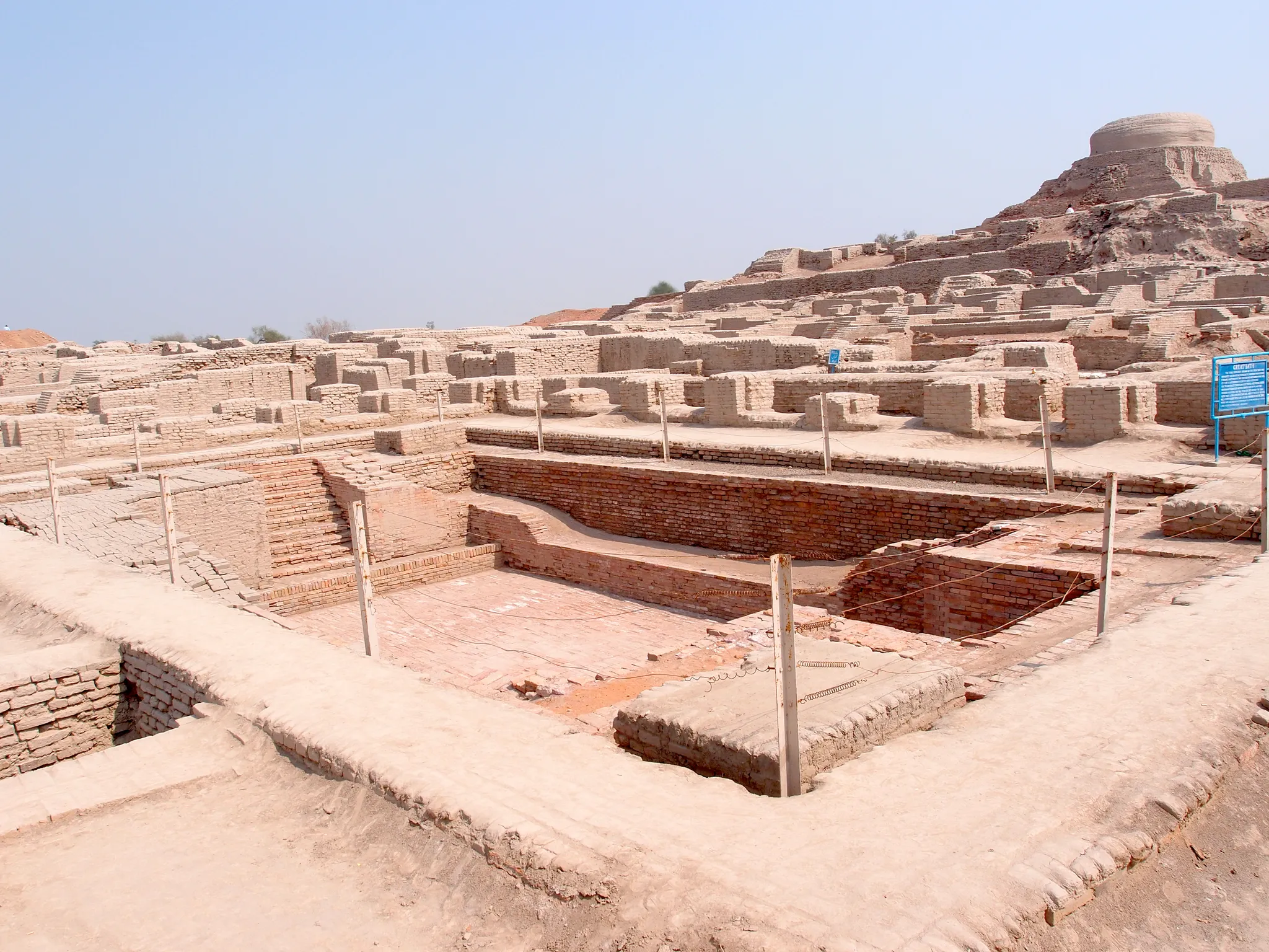
A planned city of the Indus Valley civilisation, 4,500 years old, with brick streets and drains.
Photo: Saqib Qayyum / CC BY-SA 3.0, via Wikimedia Commons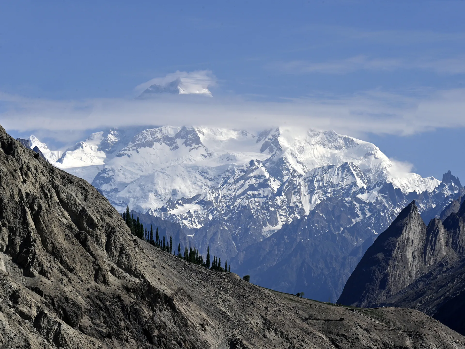
A 7,821-metre Karakoram peak, the 'K1' of the early surveyors.
Photo: Moskenes / CC BY 4.0, via Wikimedia Commons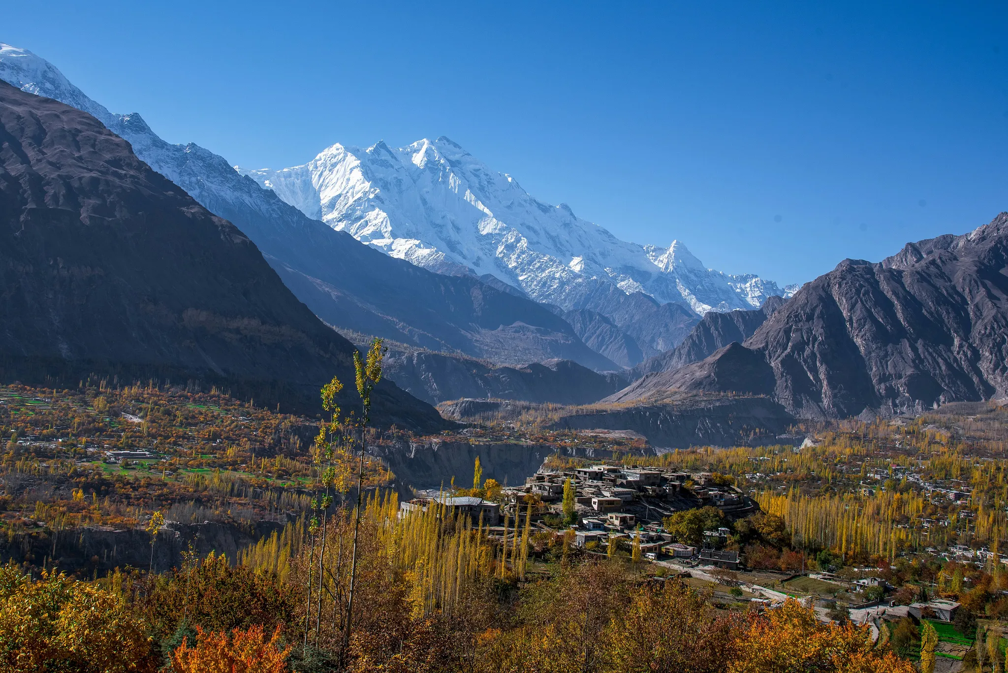
A 7,788-metre peak with the greatest uninterrupted vertical rise on Earth.
Photo: Wasif Mehmood Arain / CC BY-SA 4.0, via Wikimedia CommonsHow to place them
Heading east from Mohenjo-daro, it is 1,250 km before Pakistan's 13 places run out at K2. Hunza Valley, Nanga Parbat and Rakaposhi: three places in the north, none more than 120 km from the others. Mohenjo-daro is the odd one out, 760 km from the nearest of the others.
Nobody will sweep this set. Three hard photos (Hunza Valley and Wazir Khan Mosque among them) against five easy. Faisal Mosque is a tent-shaped modern mosque at the foot of the Margalla Hills.
Pakistan is one country. The daily draws from all 167.
Play the daily in the appQuestions & answers
How many locations does Pakistan get?
Pakistan has 13 in the pool, Hunza Valley being the northernmost and Mohenjo-daro the southernmost.
Which Pakistan location is rated hardest?
Hunza Valley, Wazir Khan Mosque and Masherbrum, rated hard. Miss by 451 km beyond the radius and half the points are gone.
Which Pakistan photo forgives the widest miss?
Aim for Hunza Valley. Anything within 60 km of it counts as exact.